St Bertram's Well

Heritage Site in Staffordshire Staffordshire Moorlands

England

St Bertram's Well

Signpost on the Manifold Way Approaching Coldwall Bridge with the River Dove currently over to the left.
Signpost on the Manifold Way Credit: Bill Boaden

St Bertram's Well is a renowned heritage site located in Staffordshire, England. Situated in the picturesque Churnet Valley, the well holds significant historical and religious importance. It is dedicated to St Bertram, a local saint who was believed to have healing powers and was revered during the medieval period.

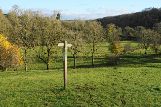
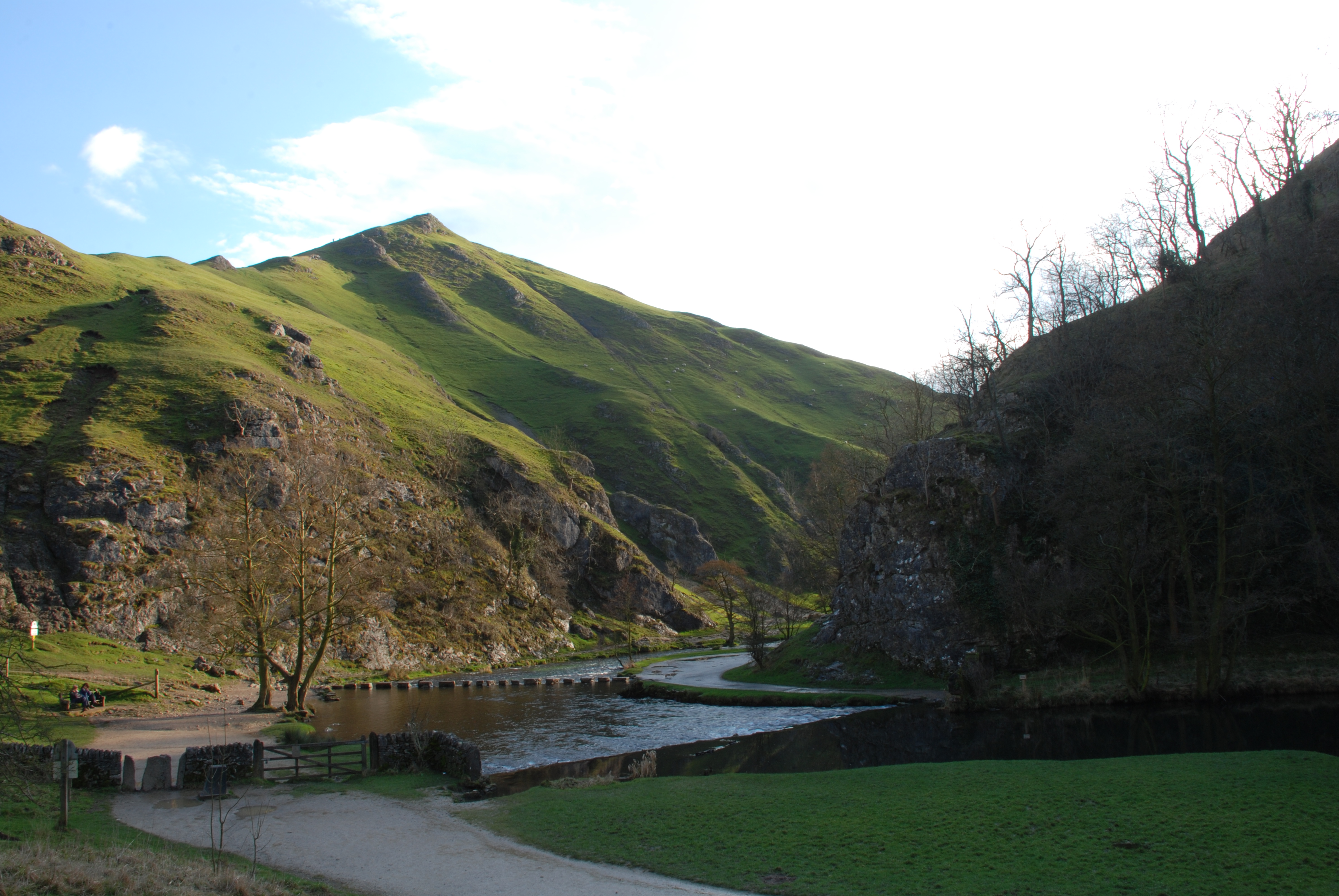
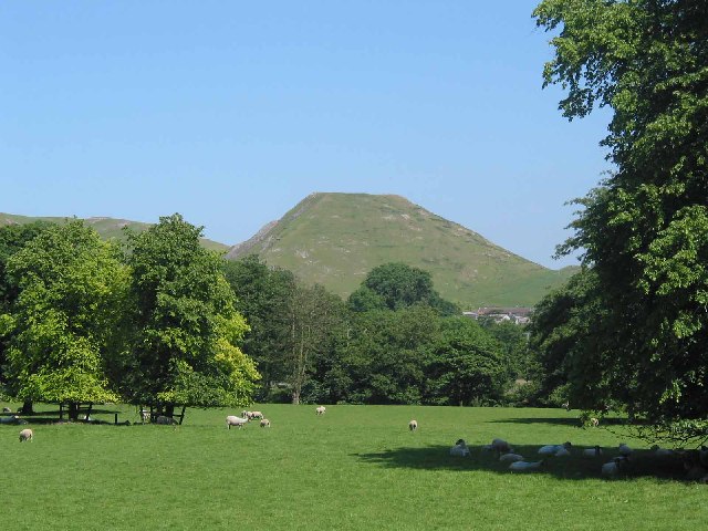
The well is nestled amidst a tranquil woodland, providing a serene and peaceful atmosphere for visitors. It is a natural spring that has been flowing for centuries, and the water is known for its supposed healing properties. Pilgrims from far and wide used to visit the site seeking cures for various ailments and ailments.

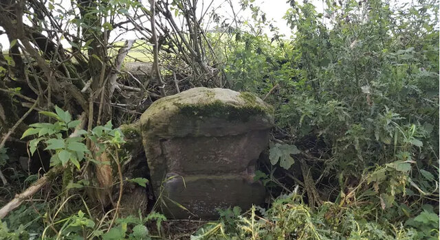
The well is encompassed by a small stone structure, which dates back to the 17th century. The architecture displays a blend of medieval and Gothic styles, adding to the charm and authenticity of the site. The stone structure houses a small pool where visitors can collect the holy water.

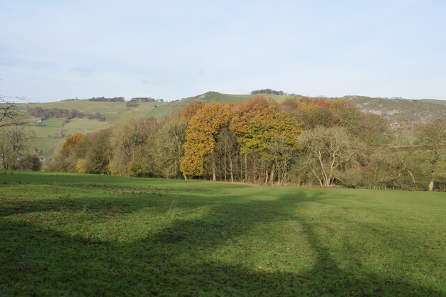
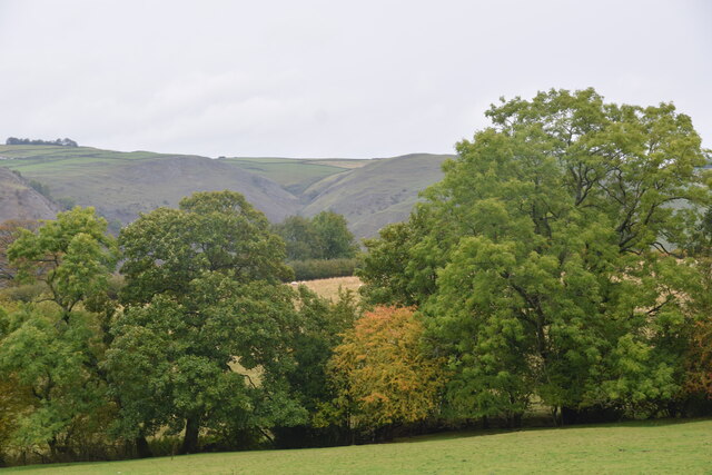
St Bertram's Well is not only significant for its religious and historical value but also for its natural beauty. The surrounding woodland is rich in diverse flora and fauna, making it an ideal spot for nature enthusiasts and hikers. The well is also a popular destination for photographers, who are captivated by the enchanting scenery.

Today, St. Bertram's Well remains a cherished heritage site and continues to attract tourists and pilgrims alike. It stands as a testament to the region's rich history and religious traditions, providing a glimpse into the past and offering a serene escape from the bustling modern world.

If you have any feedback on the listing, please let us know in the comments section below.

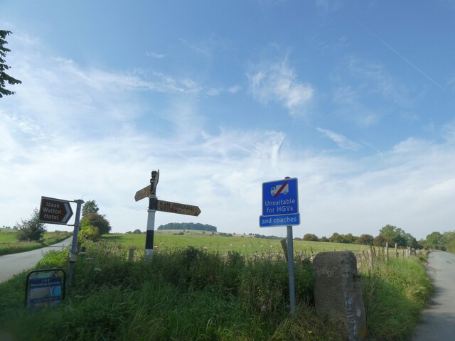
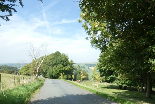
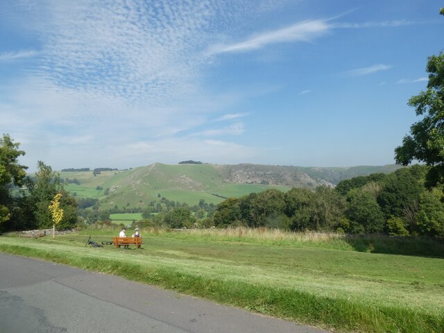
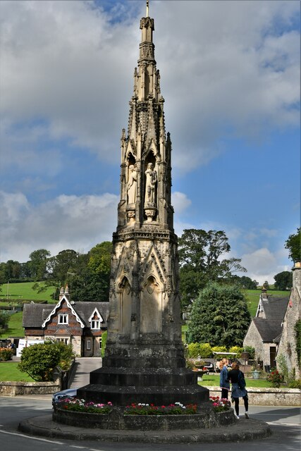
St Bertram's Well Images

Images are sourced within 2km of 53.06/-1.798 or Grid Reference SK1351. Thanks to Geograph Open Source API. All images are credited.

Signpost on the Manifold Way Approaching Coldwall Bridge with the River Dove currently over to the left.
Signpost on the Manifold Way
Approaching Coldwall Bridge with the River Dove currently over to the left.
Autumn view from Blore Pastures  Taken from Blore Pastures Picnic site looking across towards Bunster Hill and the mouth of Dovedale.
Autumn view from Blore Pastures
Taken from Blore Pastures Picnic site looking across towards Bunster Hill and the mouth of Dovedale.
View towards Dove Dale  Taken from the picnic area on Blore Pasture.
View towards Dove Dale
Taken from the picnic area on Blore Pasture.
Old Milestone by Ilam-Moor Lane, west of Blore Stone post (plate lost) by the UC road, Ilam-Moor Lane, in parish of Blore with Swinscoe (Staffordshire Moorlands District), West of Blore cross-roads, on grass verge, on South side of road. Cheadle iron plate, erected by the Cheadle to Butterton Moor (District of Cheadle) turnpike trust in the 19th century. 

Inscription once read:-
(CHEADLE)
(10)

Staffordshire HER.
HER Number: 20672 <span class="nowrap"><a title="https://www.heritagegateway.org.uk/Gateway/Results_Single.aspx?uid=MST5936&resourceID=1010" rel="nofollow ugc noopener" href="https://www.heritagegateway.org.uk/Gateway/Results_Single.aspx?uid=MST5936&resourceID=1010">Link</a><img style="margin-left:2px;" alt="External link" title="External link - shift click to open in new window" src="https://s1.geograph.org.uk/img/external.png" width="10" height="10"/></span>

Milestone Society National ID: ST_CDBM10
Old Milestone by Ilam-Moor Lane, west of Blore
Stone post (plate lost) by the UC road, Ilam-Moor Lane, in parish of Blore with Swinscoe (Staffordshire Moorlands District), West of Blore cross-roads, on grass verge, on South side of road. Cheadle iron plate, erected by the Cheadle to Butterton Moor (District of Cheadle) turnpike trust in the 19th century. Inscription once read:- (CHEADLE) (10) Staffordshire HER. HER Number: 20672 LinkExternal link Milestone Society National ID: ST_CDBM10
An addendum to the road sign, near Blore Hall Unsuitable for HGVs on the original sign, with the addition "And coaches"; presumably in the past some coach drivers thought that they could use the road
An addendum to the road sign, near Blore Hall
Unsuitable for HGVs on the original sign, with the addition "And coaches"; presumably in the past some coach drivers thought that they could use the road
Road across Blore Pastures
Seat on Blore Pastures, and view north-east
Spring on the side of Bunster Hill Trickling gently next to the path climbing out of the Manifold Valley above Ilam.
Spring on the side of Bunster Hill
Trickling gently next to the path climbing out of the Manifold Valley above Ilam.
Footpath across a ridge and furrow field Evidence of medieval ploughing picked out by the footsteps of walkers.
Footpath across a ridge and furrow field
Evidence of medieval ploughing picked out by the footsteps of walkers.
Ilam Cross, The Mary Watts-Russell Memorial
Ilam Village: Houses
Ilam Bridge
Ilam Bridge
Ilam Park: Part of the enormous car park
Ilam Park: View from the house
Show me another place!

St Bertram's Well is located at Grid Ref: SK1351 (Lat: 53.06, Lng: -1.798)

Administrative County: Staffordshire

District: Staffordshire Moorlands

Police Authority: Staffordshire

What 3 Words

///everybody.memory.hours. Near Ashbourne, Derbyshire

Related Wikis

Ilam Park

Ilam Park is a 158-acre (0.64 km2) country park situated in Ilam, on both banks of the River Manifold five miles (8 km) north west of Ashbourne, England...

White Peak Estate

The White Peak Estate (previously known as the South Peak Estate) of the National Trust comprises several land holdings in the Southern Peak District....

Ilam, Staffordshire

Ilam ( ) is a village in the Staffordshire Peak District of England, lying on the River Manifold. The population of the civil parish as taken at the 2011...

Dovedale

Dovedale is a valley in the Peak District of England. The land is owned by the National Trust and attracts a million visitors annually. The valley was...

River Manifold

The River Manifold is a river in Staffordshire, England. It is a tributary of the River Dove (which also flows through the Peak District, forming the boundary...

Thorpe Cloud

Thorpe Cloud is an isolated limestone hill (a reef knoll) lying between the villages of Thorpe and Ilam on the Derbyshire/Staffordshire border at the southern...

Thorpe, Derbyshire

Thorpe is a village and civil parish in the English county of Derbyshire; it is on the Derbyshire/Staffordshire border, on the east bank of the River Dove...

Castern Wood

Castern Wood is a nature reserve of the Staffordshire Wildlife Trust. It is an ancient woodland, with scrub and grassland, on the eastern slopes of the...

Nearby Amenities

Located within 500m of 53.06,-1.798
Barrier: stile
Material: stone
Source: survey;gps
Stile: stepover
Lat/Long: 53.0579064/-1.7938356
Barrier: stile
Source: survey;gps
Stile: squeezer
Lat/Long: 53.0635388/-1.7992901
Barrier: stile
Check Date: 2023-07-29
Material: stone
Source: survey;gps
Stile: squeezer
Lat/Long: 53.0634928/-1.7992169
Barrier: stile
Material: stone
Source: survey;gps
Stile: stepover
Lat/Long: 53.0608731/-1.7970167
Garden Farm
Addr City: Ashbourne
Addr Housename: Garden Farm
Addr Postcode: DE6 2BD
Addr Village: Ilam
Phone: +44 1335 350808
Tourism: guest_house
Website: https://www.gardenfarmpeakdistrict.co.uk/
Lat/Long: 53.0588858/-1.8045104
The data included in this document is from www.openstreetmap.org. The data is made available under ODbL.

Have you been to St Bertram's Well?

Leave your review of St Bertram's Well below (or comments, questions and feedback).