Little Wood

Wood, Forest in Hampshire New Forest

England

Little Wood

Fields west of Flood Street Farm
Fields west of Flood Street Farm Credit: David Martin

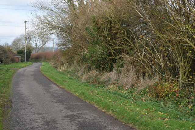
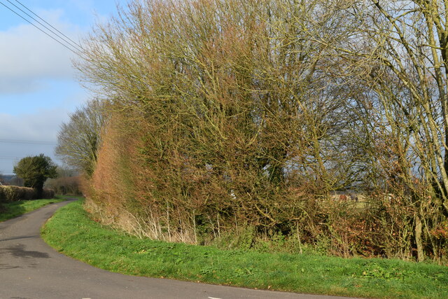
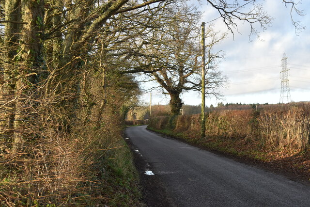
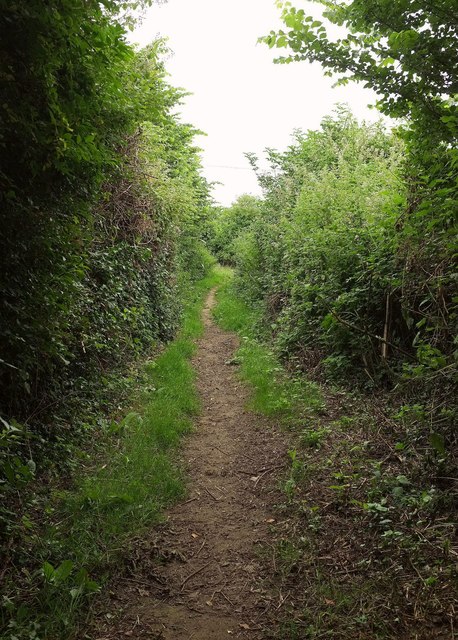
Little Wood is a charming forest located in Hampshire, England. Situated in the picturesque countryside, this woodland area covers approximately 50 acres of land. Little Wood is renowned for its natural beauty, attracting visitors from all over the region.

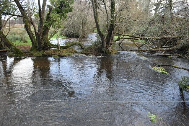
This enchanting forest is characterized by its diverse range of tree species, including oak, beech, and pine. The dense foliage creates a tranquil and serene atmosphere, providing a perfect escape from the hustle and bustle of everyday life. The woodland floor is adorned with an array of wildflowers and ferns, contributing to the overall stunning aesthetics of the area.

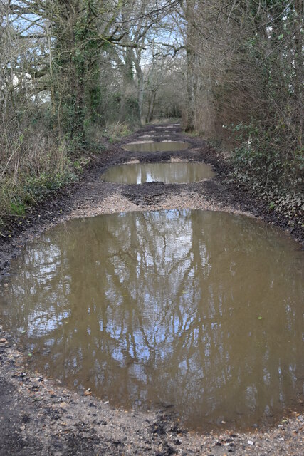
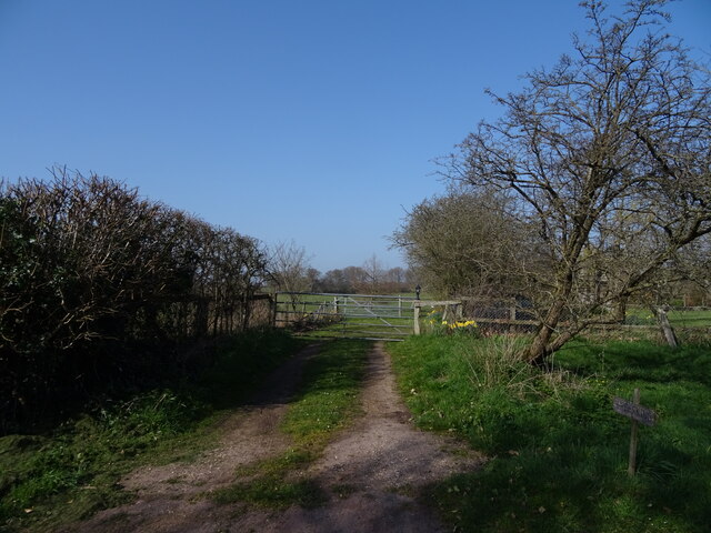
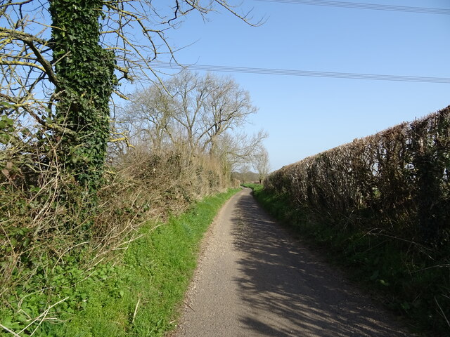
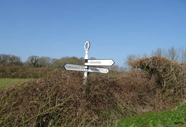
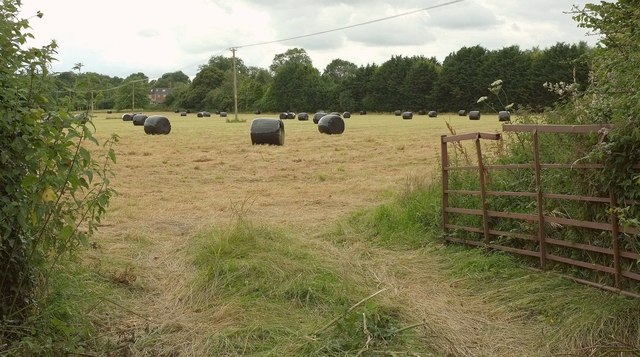
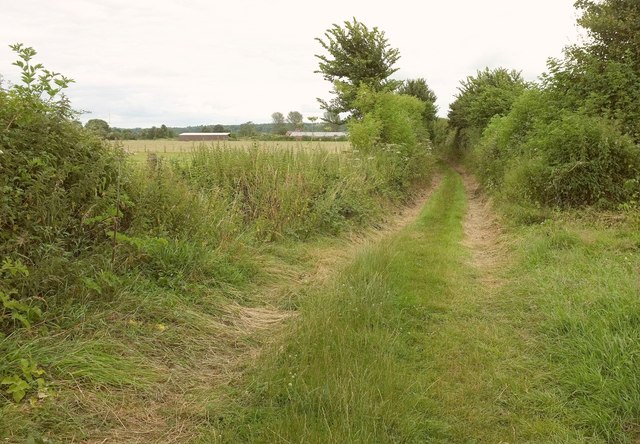
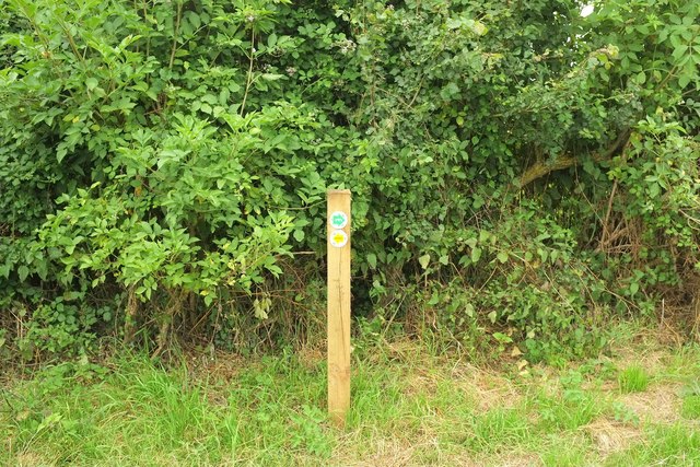
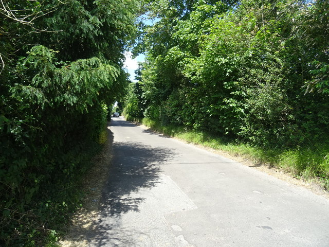
Little Wood offers an extensive network of walking trails, allowing visitors to explore the forest at their leisure. These paths wind through the trees, offering glimpses of wildlife such as deer and various bird species. Nature enthusiasts can enjoy the sights and sounds of the forest while also appreciating its ecological significance.

Throughout the year, Little Wood hosts various events and activities for both adults and children. These include guided nature walks, educational workshops, and opportunities for wildlife spotting. The forest also provides a wonderful backdrop for picnics and family outings, with designated areas for relaxation and recreation.

Little Wood is easily accessible to the public, with ample parking facilities and well-maintained footpaths. Whether you are a nature lover, a keen photographer, or simply seeking a tranquil retreat, Little Wood in Hampshire is a must-visit destination that offers a truly immersive and captivating experience in the heart of the English countryside.

If you have any feedback on the listing, please let us know in the comments section below.

Little Wood Images

Images are sourced within 2km of 50.951249/-1.8131317 or Grid Reference SU1316. Thanks to Geograph Open Source API. All images are credited.

Fields west of Flood Street Farm
Flood Street, looking towards Peasash Farm
Lane junction with Fryern Court Road
Puddleslosh Lane I had to walk round this way to find out if the track lived up to its name - and it does!
Puddleslosh Lane
I had to walk round this way to find out if the track lived up to its name - and it does!
Whitsbury Road
Whitsbury Road
Modern housing development on the edge of Fordingbridge
Sweatfords Water flowing under Puddleslosh Lane A fine set of rather wet placenames!
Sweatfords Water flowing under Puddleslosh Lane
A fine set of rather wet placenames!
Gated track
Gated track
Lane towards Outwick
Crop field towards Floodstreet Copse
Lane heading north, Flood Street
Fingerpost near Flood Street
Plastic bales by the Avon Valley path From where the Path makes a right-angled bend involving Fordingbridge footpaths 83 and 84. The same field appears in <a href="https://www.geograph.org.uk/photo/5196926">SU1415 : Plastic bales by the Avon Valley path</a>. The house you can see is on Whitsbury Road.
Plastic bales by the Avon Valley path
From where the Path makes a right-angled bend involving Fordingbridge footpaths 83 and 84. The same field appears in SU1415 : Plastic bales by the Avon Valley path. The house you can see is on Whitsbury Road.
Avon Valley Path near Upper Burgate From the same junction as <a href="https://www.geograph.org.uk/photo/5196854">SU1415 : Plastic bales by the Avon Valley path</a>. This is Fordingbridge footpath 83 heading towards the A338 at Upper Burgate. Ahead you can see the rear of units at the Fairgate Centre. Goodness, it's gone very gloomy.
Avon Valley Path near Upper Burgate
From the same junction as SU1415 : Plastic bales by the Avon Valley path. This is Fordingbridge footpath 83 heading towards the A338 at Upper Burgate. Ahead you can see the rear of units at the Fairgate Centre. Goodness, it's gone very gloomy.
Waymark post, Avon Valley Path At the junction where <a href="https://www.geograph.org.uk/photo/5196854">SU1415 : Plastic bales by the Avon Valley path</a> and <a href="https://www.geograph.org.uk/photo/5196879">SU1415 : Avon Valley Path near Upper Burgate</a> were taken. The upper green arrow signals the route of the Avon Valley Path and displays the bridge symbol shown in <a href="https://www.geograph.org.uk/photo/403962">SU1327 : Sign for the Avon Valley Path</a>; the left arrow indicates the path to Tinkers Cross.
Waymark post, Avon Valley Path
At the junction where SU1415 : Plastic bales by the Avon Valley path and SU1415 : Avon Valley Path near Upper Burgate were taken. The upper green arrow signals the route of the Avon Valley Path and displays the bridge symbol shown in SU1327 : Sign for the Avon Valley Path; the left arrow indicates the path to Tinkers Cross.
Avon Valley Path north of Fordingbridge The gloom of the afternoon is intensified by the tall hedges and the narrowness of Fordingbridge footpath 84.
Avon Valley Path north of Fordingbridge
The gloom of the afternoon is intensified by the tall hedges and the narrowness of Fordingbridge footpath 84.
Farm buildings at Outwick
Fryern Court Road
Fryern Court Road
Show me another place!

Little Wood is located at Grid Ref: SU1316 (Lat: 50.951249, Lng: -1.8131317)

Administrative County: Hampshire

District: New Forest

Police Authority: Hampshire

What 3 Words

///dorms.work.sublet. Near Fordingbridge, Hampshire

Related Wikis

Rockbourne Roman Villa

Rockbourne Roman Villa is a Roman courtyard villa excavated and put on public display in the village of Rockbourne in the English county of Hampshire....

Whitsbury

Whitsbury is a village and civil parish in Hampshire, England, close to Fordingbridge. Whitsbury is a part of a group of villages on the edge of the Cranborne...

Sandleheath

Sandleheath is a village and civil parish about 1.8 miles (2.9 km) west of Fordingbridge in the New Forest District of Hampshire, England. It has a...

Rockbourne

Rockbourne is a village and civil parish in the English county of Hampshire, close to Fordingbridge. == Overview == Rockbourne is a village of thatched...

Burgate, Hampshire

Burgate (divided into Upper Burgate and Lower Burgate) is a hamlet situated on the western edge of the New Forest National Park in Hampshire, England....

The Burgate School and Sixth Form

The Burgate School and Sixth Form (opened in 1957) is an 11–18 academy school. The school is situated in Fordingbridge, Hampshire, and at the current time...

Fordingbridge railway station

Fordingbridge was a railway station serving Fordingbridge, a small town in Hampshire. It was one of many casualties of the mass closure of British railway...

Whitsbury Castle

Whitsbury Castle, or Whitsbury Castle Ditches, is the site of an Iron Age univallate hillfort located near the village of Whitsbury in Hampshire. The fort...

Nearby Amenities

Located within 500m of 50.951249,-1.8131317
Post Box
Collection Times: Mo-Fr 16:45; Sa 08:15
Post Box Design: hovis
Post Box Mounting: pier
Post Box Type: lamp
Ref: SP6 405
Royal Cypher: GR
Royal Cypher Wikidata: Q33102273
Lat/Long: 50.9515935/-1.8101986
The data included in this document is from www.openstreetmap.org. The data is made available under ODbL.

Have you been to Little Wood?

Leave your review of Little Wood below (or comments, questions and feedback).