Bridge Lake

Lake, Pool, Pond, Freshwater Marsh in Hampshire New Forest

England

Bridge Lake

Flood Street, looking towards Peasash Farm
Flood Street, looking towards Peasash Farm Credit: David Martin

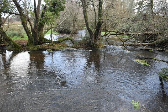
Bridge Lake is a serene freshwater body located in the county of Hampshire, England. Nestled amidst picturesque surroundings, this natural water feature is a popular destination for locals and tourists alike.

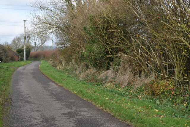
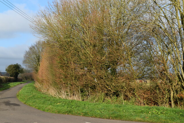
Covering an area of approximately 10 acres, Bridge Lake boasts crystal-clear waters that are fed by various small streams and springs. The lake is surrounded by lush greenery, including dense woodlands and meadows, creating a tranquil and idyllic ambiance.

The lake itself is a haven for wildlife enthusiasts, as it supports a diverse range of flora and fauna. Its pristine waters are home to various species of fish, including roach, perch, and pike, attracting fishing enthusiasts year-round. Additionally, visitors may spot a myriad of bird species, such as swans, ducks, and herons, gracefully gliding across the water or nesting in the surrounding trees.

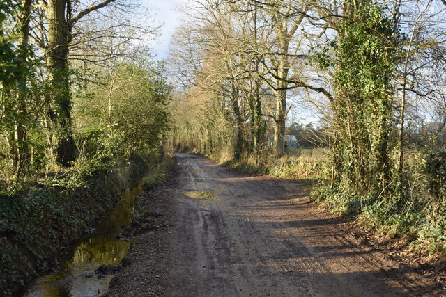
Moreover, Bridge Lake offers recreational activities for individuals of all ages. The lake provides opportunities for swimming, canoeing, and kayaking, allowing visitors to fully immerse themselves in its refreshing waters. The surrounding area features well-maintained footpaths and picnic areas, providing ample space for leisurely walks and family outings.

Bridge Lake also serves as an important freshwater marsh, supporting a delicate ecosystem of wetland plants and animals. This marshland plays a crucial role in maintaining water quality and provides a habitat for various amphibians, insects, and waterfowl.

Overall, Bridge Lake in Hampshire showcases the beauty of nature and offers a peaceful retreat for those seeking relaxation, outdoor activities, or a chance to observe and appreciate the wonders of the natural world.

If you have any feedback on the listing, please let us know in the comments section below.
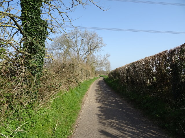
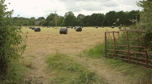
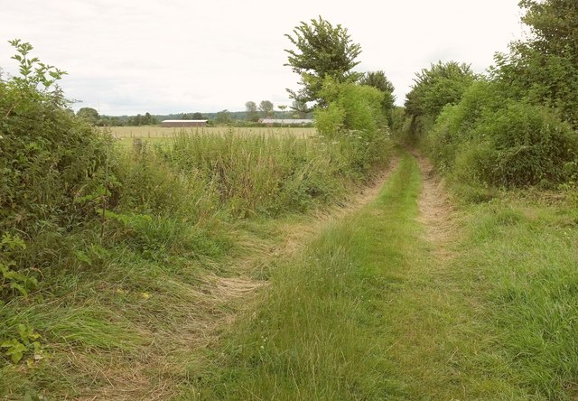
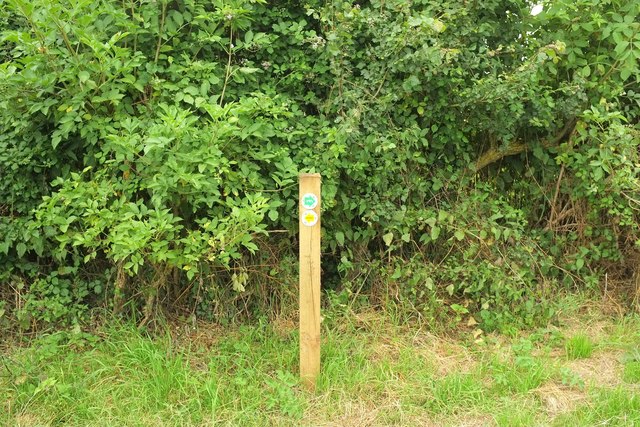
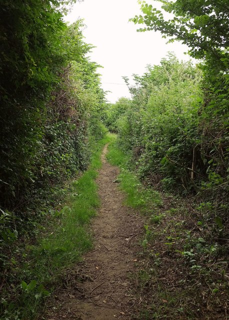
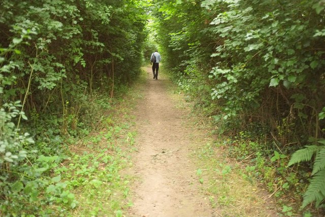
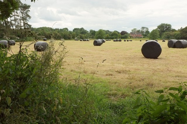
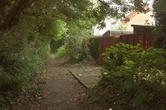
Bridge Lake Images

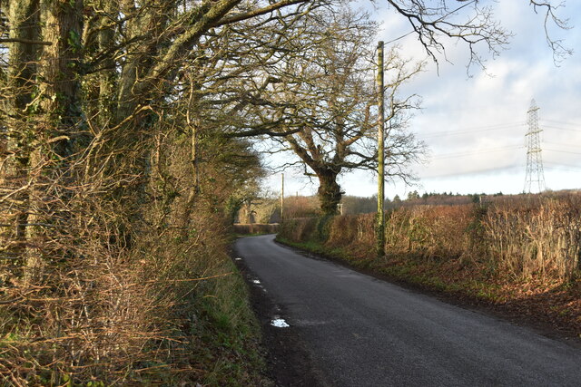
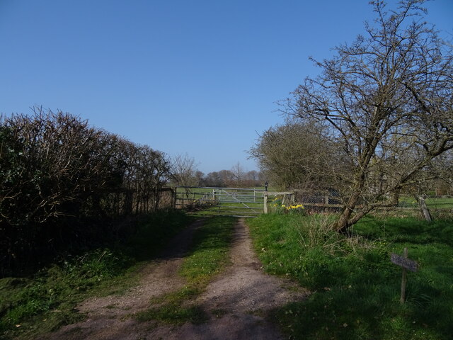
Images are sourced within 2km of 50.94394/-1.814385 or Grid Reference SU1316. Thanks to Geograph Open Source API. All images are credited.

Flood Street, looking towards Peasash Farm
Lane junction with Fryern Court Road
Marl Lane
Marl Lane
Puddleslosh Lane I had to walk round this way to find out if the track lived up to its name - and it does!
Puddleslosh Lane
I had to walk round this way to find out if the track lived up to its name - and it does!
Whitsbury Road
Whitsbury Road
Modern housing development on the edge of Fordingbridge
Sweatfords Water flowing under Puddleslosh Lane A fine set of rather wet placenames!
Sweatfords Water flowing under Puddleslosh Lane
A fine set of rather wet placenames!
Gated track
Gated track
Lane towards Outwick
Plastic bales by the Avon Valley path From where the Path makes a right-angled bend involving Fordingbridge footpaths 83 and 84. The same field appears in <a href="https://www.geograph.org.uk/photo/5196926">SU1415 : Plastic bales by the Avon Valley path</a>. The house you can see is on Whitsbury Road.
Plastic bales by the Avon Valley path
From where the Path makes a right-angled bend involving Fordingbridge footpaths 83 and 84. The same field appears in SU1415 : Plastic bales by the Avon Valley path. The house you can see is on Whitsbury Road.
Avon Valley Path near Upper Burgate From the same junction as <a href="https://www.geograph.org.uk/photo/5196854">SU1415 : Plastic bales by the Avon Valley path</a>. This is Fordingbridge footpath 83 heading towards the A338 at Upper Burgate. Ahead you can see the rear of units at the Fairgate Centre. Goodness, it's gone very gloomy.
Avon Valley Path near Upper Burgate
From the same junction as SU1415 : Plastic bales by the Avon Valley path. This is Fordingbridge footpath 83 heading towards the A338 at Upper Burgate. Ahead you can see the rear of units at the Fairgate Centre. Goodness, it's gone very gloomy.
Waymark post, Avon Valley Path At the junction where <a href="https://www.geograph.org.uk/photo/5196854">SU1415 : Plastic bales by the Avon Valley path</a> and <a href="https://www.geograph.org.uk/photo/5196879">SU1415 : Avon Valley Path near Upper Burgate</a> were taken. The upper green arrow signals the route of the Avon Valley Path and displays the bridge symbol shown in <a href="https://www.geograph.org.uk/photo/403962">SU1327 : Sign for the Avon Valley Path</a>; the left arrow indicates the path to Tinkers Cross.
Waymark post, Avon Valley Path
At the junction where SU1415 : Plastic bales by the Avon Valley path and SU1415 : Avon Valley Path near Upper Burgate were taken. The upper green arrow signals the route of the Avon Valley Path and displays the bridge symbol shown in SU1327 : Sign for the Avon Valley Path; the left arrow indicates the path to Tinkers Cross.
Avon Valley Path north of Fordingbridge The gloom of the afternoon is intensified by the tall hedges and the narrowness of Fordingbridge footpath 84.
Avon Valley Path north of Fordingbridge
The gloom of the afternoon is intensified by the tall hedges and the narrowness of Fordingbridge footpath 84.
Avon Valley Path to Fordingbridge From the same spot as <a href="https://www.geograph.org.uk/photo/5196901">SU1415 : Avon Valley Path north of Fordingbridge</a>, looking in the opposite direction along Fordingbridge footpath 84.
Avon Valley Path to Fordingbridge
From the same spot as SU1415 : Avon Valley Path north of Fordingbridge, looking in the opposite direction along Fordingbridge footpath 84.
Plastic bales by the Avon Valley path The southern part of the field also shown in <a href="https://www.geograph.org.uk/photo/5196854">SU1415 : Plastic bales by the Avon Valley path</a>, with the same house on Whitsbury Road visible.
Plastic bales by the Avon Valley path
The southern part of the field also shown in SU1415 : Plastic bales by the Avon Valley path, with the same house on Whitsbury Road visible.
Avon Valley Path leaving Fordingbridge The path follows Fordingbridge footpath 84 through the town's northern suburbs, here passing houses on Penny's Close.
Avon Valley Path leaving Fordingbridge
The path follows Fordingbridge footpath 84 through the town's northern suburbs, here passing houses on Penny's Close.
Waverley Road, Fordingbridge A side turning seen from the Avon Valley Path as it follows Penny's Lane.
Waverley Road, Fordingbridge
A side turning seen from the Avon Valley Path as it follows Penny's Lane.
Road junction, Fordingbridge The Avon Valley Path forks right here off Whitsbury Road and along Penny's Lane.
Road junction, Fordingbridge
The Avon Valley Path forks right here off Whitsbury Road and along Penny's Lane.
Show me another place!

Bridge Lake is located at Grid Ref: SU1316 (Lat: 50.94394, Lng: -1.814385)

Administrative County: Hampshire

District: New Forest

Police Authority: Hampshire

What 3 Words

///prospered.contour.unfounded. Near Fordingbridge, Hampshire

Related Wikis

Sandleheath

Sandleheath is a village and civil parish about 1.8 miles (2.9 km) west of Fordingbridge in the New Forest District of Hampshire, England. It has a...

Rockbourne Roman Villa

Rockbourne Roman Villa is a Roman courtyard villa excavated and put on public display in the village of Rockbourne in the English county of Hampshire....

Fordingbridge railway station

Fordingbridge was a railway station serving Fordingbridge, a small town in Hampshire. It was one of many casualties of the mass closure of British railway...

The Burgate School and Sixth Form

The Burgate School and Sixth Form (opened in 1957) is an 11–18 academy school. The school is situated in Fordingbridge, Hampshire, and at the current time...

Burgate, Hampshire

Burgate (divided into Upper Burgate and Lower Burgate) is a hamlet situated on the western edge of the New Forest National Park in Hampshire, England....

Fordingbridge Hospital

Fordingbridge Hospital is a small community hospital in Fordingbridge, Hampshire, England. The hospital closed to admissions in September 2023. == History... ==

Fordingbridge Town Hall

Fordingbridge Town Hall is a municipal building in the High Street in Fordingbridge, Hampshire, England. The structure, which is the meeting place of Fordingbridge...

Fordingbridge

Fordingbridge is a town and broader civil parish with a population of 6,000 on the River Avon in the New Forest District of Hampshire, England, near the...

Related Videos

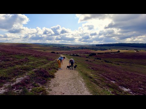
Walking from Abbots Well along Hampton Ridge, down to Latchmore Brook and back via Ogdens.

A time warp video of a walk in the New Forest, a short drive from Godshill, Fordingbridge. Late August with the heather in bloom.

Fordingbridge camping and caravanning weekend

An amazing weekend away with great family and friends when we had a caravan. The field is privately owned and right next to the ...

WALKS IN HAMPSHIRE : ROCKBOURNE (Inc BLUEBELL WOOD)

This is the third video in my series “Walks in Hampshire” with my Whippet, Logan. In this episode, I visit the pretty village of ...

on our way to Salisbury 9/9/23

driving through foringbrige town and country sides.

Nearby Amenities

Located within 500m of 50.94394,-1.814385
Barrier: stile
Lat/Long: 50.9430206/-1.8101713
Power: tower
Source: Bing
Lat/Long: 50.9447823/-1.80906
Power: tower
Source: Bing
Lat/Long: 50.9408548/-1.8163163
Power: tower
Source: bing
Lat/Long: 50.9424857/-1.8132992
Barrier: stile
Lat/Long: 50.9475446/-1.8185862
Barrier: stile
Lat/Long: 50.9445618/-1.8130939
Barrier: stile
Lat/Long: 50.9462903/-1.8152955
Power: pole
Lat/Long: 50.9418094/-1.8085223
Power: pole
Lat/Long: 50.9425919/-1.8123338
Power: pole
Lat/Long: 50.9438696/-1.8151045
Power: pole
Lat/Long: 50.9442498/-1.8165314
Power: pole
Lat/Long: 50.944821/-1.8182293
Power: pole
Lat/Long: 50.9455781/-1.8204689
Power: pole
Lat/Long: 50.9403491/-1.8102819
Power: pole
Lat/Long: 50.9417604/-1.8083212
Power: pole
Source: bing
Lat/Long: 50.9409998/-1.809378
Poles: bipole
Power: pole
Source: bing
Lat/Long: 50.942332/-1.8109717
Power: pole
Source: bing
Transformer: distribution
Lat/Long: 50.943781/-1.8158342
Power: pole
Source: bing
Lat/Long: 50.9441172/-1.8167746
Power: pole
Source: bing
Lat/Long: 50.9445922/-1.8181232
Power: pole
Source: bing
Lat/Long: 50.9450662/-1.8194856
Power: pole
Source: bing
Lat/Long: 50.9454265/-1.820533
The data included in this document is from www.openstreetmap.org. The data is made available under ODbL.

Have you been to Bridge Lake?

Leave your review of Bridge Lake below (or comments, questions and feedback).