Fryern Court Wood
Wood, Forest in Hampshire New Forest
England
Fryern Court Wood

Fryern Court Wood is a beautiful woodland area located in the county of Hampshire, England. It is situated near the village of Chandler's Ford and covers an area of approximately 20 hectares. The wood is managed by the Forestry Commission and is part of a larger forested area known as the South Downs National Park.
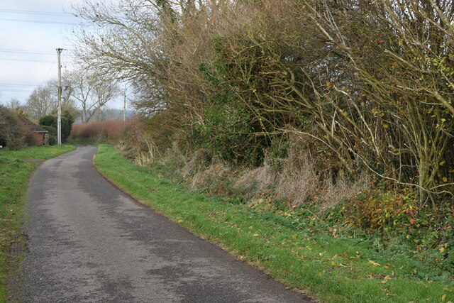
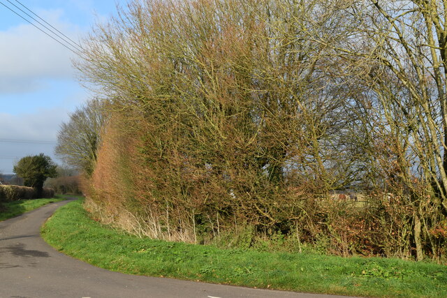
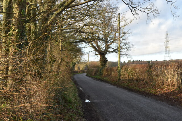
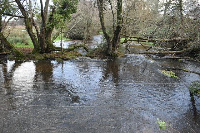
The wood is predominantly made up of broadleaf trees, including oak, beech, and birch, which create a dense and lush canopy overhead. This provides a habitat for a wide variety of wildlife, including deer, badgers, foxes, and numerous bird species. The forest floor is covered in a rich carpet of bluebells, wildflowers, and ferns, adding to the wood's natural beauty.
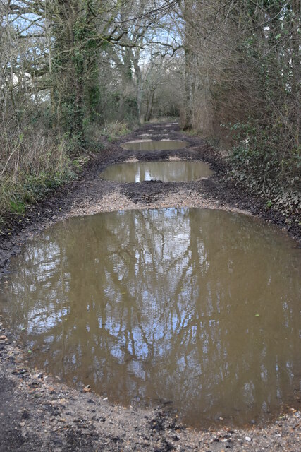
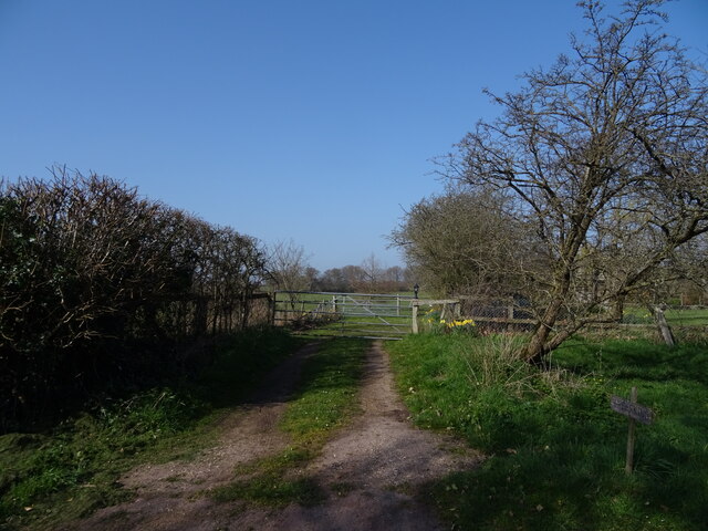
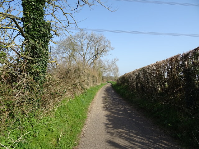
There are several walking trails that wind their way through the wood, allowing visitors to explore its tranquil surroundings. These paths are well-maintained and offer a range of difficulty levels, making them suitable for both casual strolls and more challenging hikes. Along the trails, there are informative signposts that provide interesting facts about the local flora and fauna, enhancing the educational value of the woodland.
Fryern Court Wood is a popular destination for nature lovers, hikers, and families seeking a peaceful retreat in the heart of nature. Its proximity to Chandler's Ford makes it easily accessible, and there is ample parking available for visitors. Whether you are interested in wildlife spotting, photography, or simply enjoying a peaceful walk, Fryern Court Wood offers a delightful experience for all nature enthusiasts.
If you have any feedback on the listing, please let us know in the comments section below.
Fryern Court Wood Images
Images are sourced within 2km of 50.95125/-1.8030242 or Grid Reference SU1316. Thanks to Geograph Open Source API. All images are credited.


Fryern Court Wood is located at Grid Ref: SU1316 (Lat: 50.95125, Lng: -1.8030242)
Administrative County: Hampshire
District: New Forest
Police Authority: Hampshire
What 3 Words
///reporters.vibe.amber. Near Fordingbridge, Hampshire
Nearby Locations
Related Wikis

Burgate, Hampshire
Burgate (divided into Upper Burgate and Lower Burgate) is a hamlet situated on the western edge of the New Forest National Park in Hampshire, England....

Rockbourne Roman Villa
Rockbourne Roman Villa is a Roman courtyard villa excavated and put on public display in the village of Rockbourne in the English county of Hampshire....

The Burgate School and Sixth Form
The Burgate School and Sixth Form (opened in 1957) is an 11–18 academy school. The school is situated in Fordingbridge, Hampshire, and at the current time...
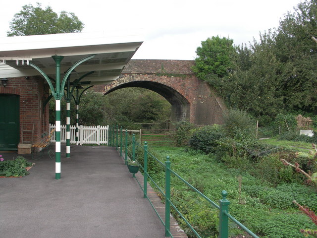
Breamore railway station
Breamore railway station was a railway station in the Avon Valley at the village of Breamore, Hampshire, England. The station was built for the Salisbury...
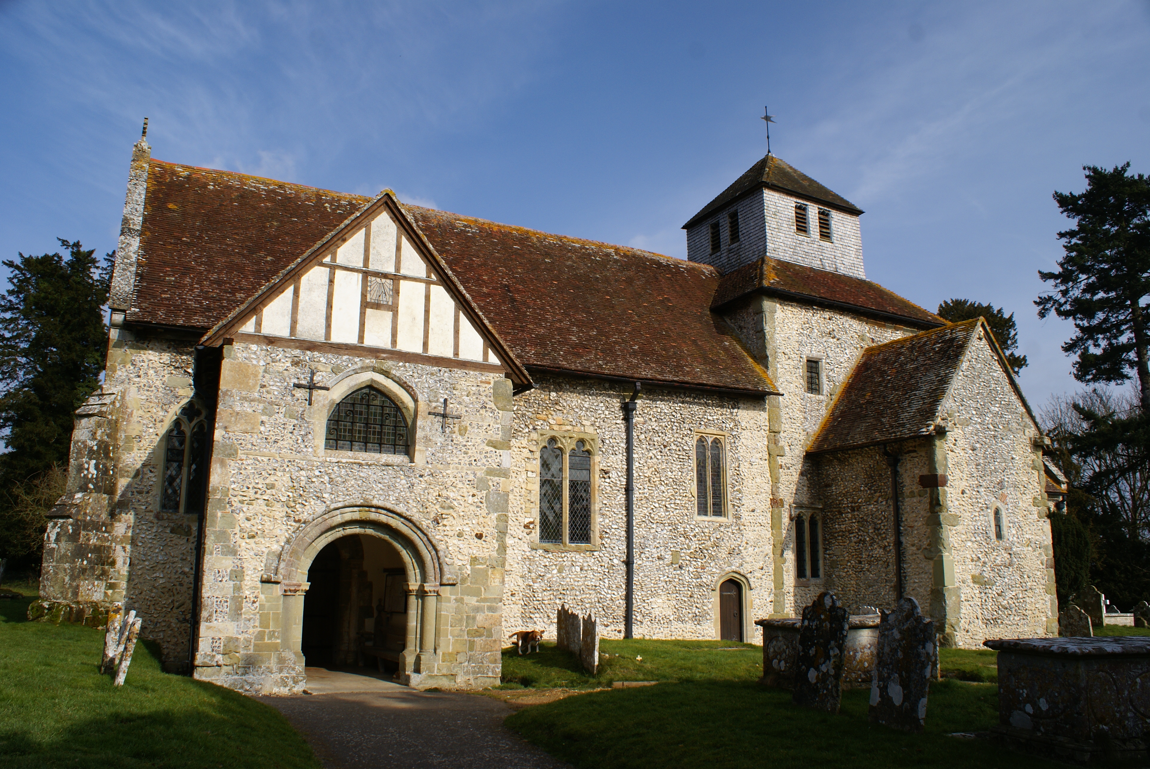
Breamore
Breamore ( BREM-ər) is a village and civil parish near Fordingbridge in Hampshire, England. The parish includes a notable Elizabethan country house, Breamore...

Whitsbury
Whitsbury is a village and civil parish in Hampshire, England, close to Fordingbridge. Whitsbury is a part of a group of villages on the edge of the Cranborne...
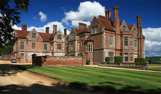
Breamore House
Breamore House is an Elizabethan manor house noted for its fine collection of paintings and furniture and situated NW of Breamore village, north of Fordingbridge...

Fordingbridge railway station
Fordingbridge was a railway station serving Fordingbridge, a small town in Hampshire. It was one of many casualties of the mass closure of British railway...
Nearby Amenities
Located within 500m of 50.95125,-1.8030242Have you been to Fryern Court Wood?
Leave your review of Fryern Court Wood below (or comments, questions and feedback).