Brinkburn Grove

Wood, Forest in Northumberland

England

Brinkburn Grove

Brinkburn Priory Church and Manor House Not much remains of the Priory, although there are various parts in the manor house, including a wonderful bricked up arch with a modern door in it. Very interesting site with activity from 1130's-1950's

<span class="nowrap"><a title="https://en.wikipedia.org/wiki/Brinkburn_Priory" rel="nofollow ugc noopener" href="https://en.wikipedia.org/wiki/Brinkburn_Priory">Link</a><img style="margin-left:2px;" alt="External link" title="External link - shift click to open in new window" src="https://s1.geograph.org.uk/img/external.png" width="10" height="10"/></span>
Brinkburn Priory Church and Manor House Credit: Brian Deegan

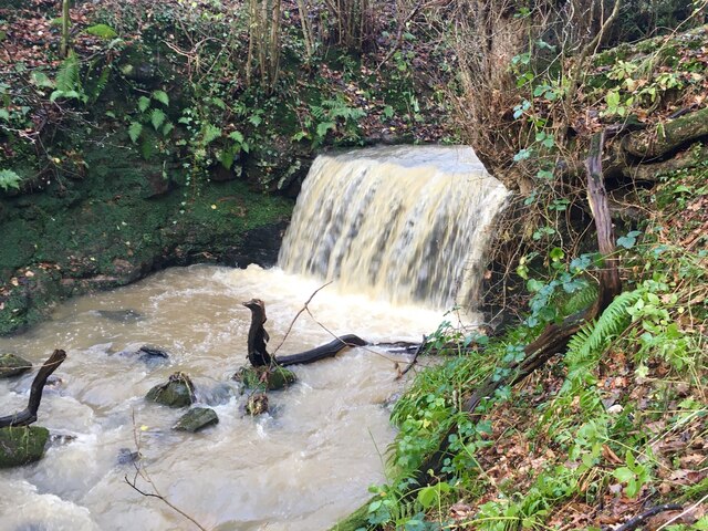
Brinkburn Grove is a picturesque woodland located in the county of Northumberland, England. Situated near the village of Brinkburn, this forested area covers a vast expanse of approximately 200 acres. It is renowned for its natural beauty, tranquil ambiance, and diverse fauna and flora.

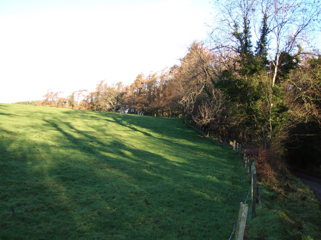
The grove is characterized by a dense canopy of tall trees, mainly consisting of oak, beech, and ash. These majestic trees provide ample shade, creating a cool and inviting atmosphere. The forest floor is covered with a lush carpet of moss, ferns, and wildflowers, adding to its enchanting appeal.

Brinkburn Grove is abundant in wildlife, making it a haven for nature enthusiasts and birdwatchers alike. Visitors can spot a variety of bird species, including woodpeckers, owls, and warblers, as well as small mammals such as squirrels and rabbits. The grove is also home to a diverse range of insect life, with butterflies and dragonflies fluttering about in the sunny patches.

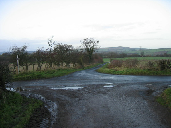
The woodland offers several well-maintained trails, allowing visitors to explore its beauty at their own pace. These paths wind through the forest, leading to hidden clearings and secluded picnic spots. The peacefulness of Brinkburn Grove attracts many walkers, who come to enjoy its serenity and reconnect with nature.

Overall, Brinkburn Grove in Northumberland is a captivating woodland that showcases the pristine beauty of the English countryside. Its lush vegetation, diverse wildlife, and tranquil atmosphere make it a perfect destination for those seeking a peaceful retreat in the heart of nature.

If you have any feedback on the listing, please let us know in the comments section below.

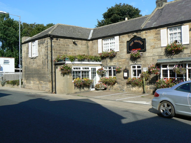
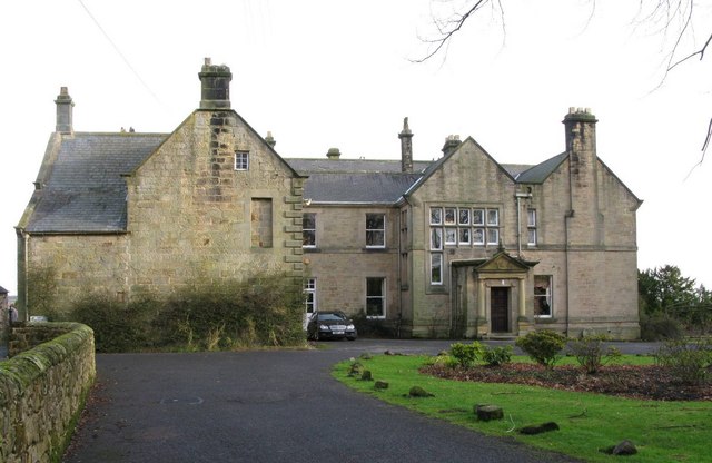
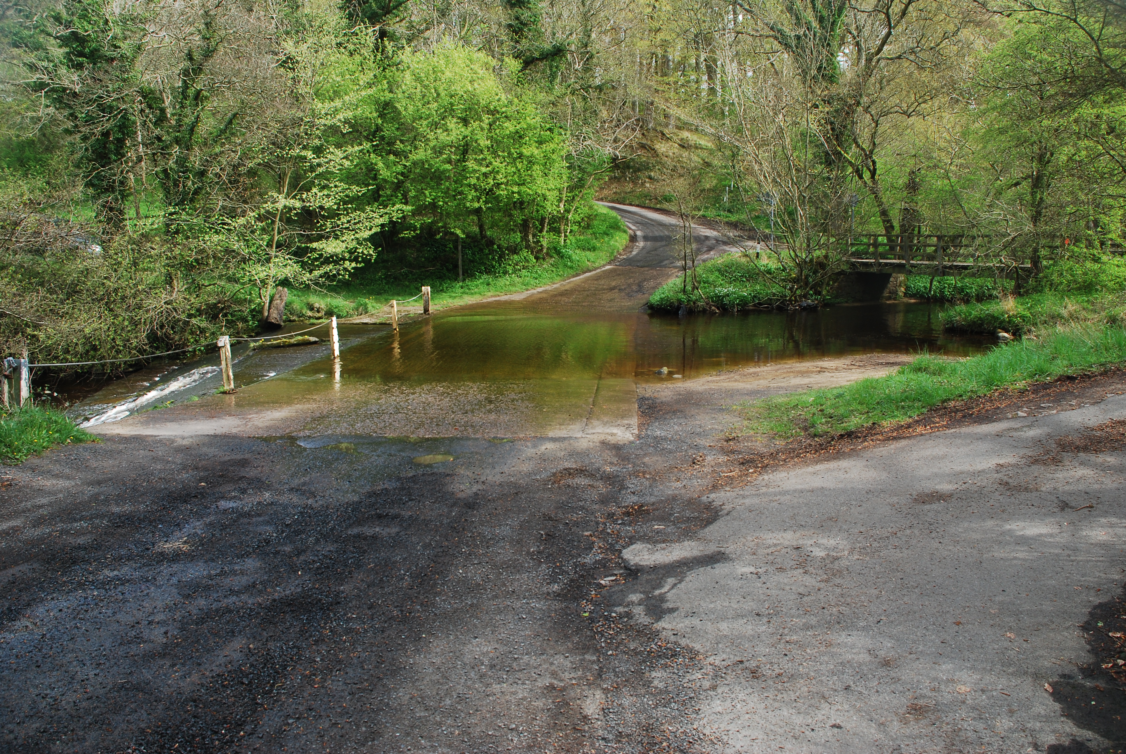
Brinkburn Grove Images

Images are sourced within 2km of 55.28184/-1.8128527 or Grid Reference NZ1198. Thanks to Geograph Open Source API. All images are credited.

Brinkburn Priory Church and Manor House Not much remains of the Priory, although there are various parts in the manor house, including a wonderful bricked up arch with a modern door in it. Very interesting site with activity from 1130's-1950's

<span class="nowrap"><a title="https://en.wikipedia.org/wiki/Brinkburn_Priory" rel="nofollow ugc noopener" href="https://en.wikipedia.org/wiki/Brinkburn_Priory">Link</a><img style="margin-left:2px;" alt="External link" title="External link - shift click to open in new window" src="https://s1.geograph.org.uk/img/external.png" width="10" height="10"/></span>
Brinkburn Priory Church and Manor House
Not much remains of the Priory, although there are various parts in the manor house, including a wonderful bricked up arch with a modern door in it. Very interesting site with activity from 1130's-1950's LinkExternal link
The Anglers Arms,  Free House Beside the River Coquet at Weldon Bridge.
<span class="nowrap"><a title="https://www.anglersarms.com/" rel="nofollow ugc noopener" href="https://www.anglersarms.com/">Link</a><img style="margin-left:2px;" alt="External link" title="External link - shift click to open in new window" src="https://s1.geograph.org.uk/img/external.png" width="10" height="10"/></span>
The Anglers Arms, Free House
Beside the River Coquet at Weldon Bridge. LinkExternal link
View of River Coquet  Fron under the bridge of the A697.
View of River Coquet
Fron under the bridge of the A697.
Waterfall in spate A classic waterfall when there's plenty of water.  It's marked on old OS maps although the stream itself doesn't appear to have a name .
<a href="https://www.geograph.org.uk/photo/6829440">NZ1399 : Pretty waterfall on mundane stream 2</a>
Waterfall in spate
A classic waterfall when there's plenty of water. It's marked on old OS maps although the stream itself doesn't appear to have a name . NZ1399 : Pretty waterfall on mundane stream 2
Waterfall in spate A classic waterfall when there's plenty of water. It's marked on old OS maps although the stream itself doesn't appear to have a name.  Quite a contrast to its normal state.

<a title="https://www.geograph.org.uk/photo/6829434" href="https://www.geograph.org.uk/photo/6829434">Link</a>
Waterfall in spate
A classic waterfall when there's plenty of water. It's marked on old OS maps although the stream itself doesn't appear to have a name. Quite a contrast to its normal state. Link
Brinkburn Priory
Brinkburn Priory
Brinkburn Priory
Brinkburn Priory
Norman north doorway to Brinkburn Priory
Brinkburn Priory Built originally in 1135 for Augustian monks the Priory later fell into ruin and was restored to its former glory in 1858. Brinkburn stands in a secluded and peaceful setting with an air of quiet tranquillity.
Brinkburn Priory
Built originally in 1135 for Augustian monks the Priory later fell into ruin and was restored to its former glory in 1858. Brinkburn stands in a secluded and peaceful setting with an air of quiet tranquillity.
Reflection The reflection of the stained glass is almost as beautiful as the window itself (Brinkburn Priory).
Reflection
The reflection of the stained glass is almost as beautiful as the window itself (Brinkburn Priory).
Weldon A tiny hamlet consisting of a few cottage and the Anglers Arms Pub. The bridge which can just be seen was built in the mid 18th century and is a grade 1 listed building and crosses the River Coquet famous for salmon fishing.
Weldon
A tiny hamlet consisting of a few cottage and the Anglers Arms Pub. The bridge which can just be seen was built in the mid 18th century and is a grade 1 listed building and crosses the River Coquet famous for salmon fishing.
The Manor House, Brinkburn. Owned by the Cadogan Fenwick family until the mid 1950's, this impressive house incorporated part of the original refectory. It overlooks the River Coquet and is in the process of renovation by English Heritage.
The Manor House, Brinkburn.
Owned by the Cadogan Fenwick family until the mid 1950's, this impressive house incorporated part of the original refectory. It overlooks the River Coquet and is in the process of renovation by English Heritage.
Brinkburn Bell Modern sculpture on a traditional theme in the grounds of Brinkburn Priory.
Brinkburn Bell
Modern sculpture on a traditional theme in the grounds of Brinkburn Priory.
Road leading to Thistleyhaugh
Cockshot A farm near Brinkburn, seen from the access lane from the B6344.
Cockshot
A farm near Brinkburn, seen from the access lane from the B6344.
Cockshot Wood The track from the B6344 to <a href="https://www.geograph.org.uk/photo/304857">NZ1199 : Cockshot</a> passes through Cockshot Wood.
Cockshot Wood
The track from the B6344 to NZ1199 : Cockshot passes through Cockshot Wood.
Field beside track to Cockshot As the track leading to <a href="https://www.geograph.org.uk/photo/304857">NZ1199 : Cockshot</a> drops to cross Cockshot Burn in the woodland, shadows from trees cross this field.
Field beside track to Cockshot
As the track leading to NZ1199 : Cockshot drops to cross Cockshot Burn in the woodland, shadows from trees cross this field.
World War Two pillbox Part of the British anti-invasion defences constructed between 1940 and 1941. For more information, see <span class="nowrap"><a title="http://ads.ahds.ac.uk/catalogue/resources.html?dob" rel="nofollow ugc noopener" href="http://ads.ahds.ac.uk/catalogue/resources.html?dob">Link</a><img style="margin-left:2px;" alt="External link" title="External link - shift click to open in new window" src="https://s1.geograph.org.uk/img/external.png" width="10" height="10"/></span>
World War Two pillbox
Part of the British anti-invasion defences constructed between 1940 and 1941. For more information, see LinkExternal link
Show me another place!

Brinkburn Grove is located at Grid Ref: NZ1198 (Lat: 55.28184, Lng: -1.8128527)

Unitary Authority: Northumberland

Police Authority: Northumbria

What 3 Words

///crew.hurt.chairing. Near Longhorsley, Northumberland

Related Wikis

Brinkburn

Brinkburn is a civil parish in Northumberland, England. It is divided by the River Coquet. The parish includes the hamlet of Pauperhaugh. == History... ==
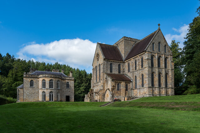
Brinkburn Priory

Brinkburn Priory is a former monastery built, starting in the 12th century, on a bend of the River Coquet, about 4 miles (6 km) east of Rothbury, Northumberland...

Brinkburn Mill

Brinkburn Mill is a water mill located near Rothbury, in Northumberland. It once formed part of the precincts of Brinkburn Priory and was constructed in...

Longframlington

Longframlington is a small village in Northumberland, England, located on the A697, 11 miles (18 km) north-west of Morpeth and 5 miles (8 km) south-east...

Embleton Hall

Embleton Hall is a country manor house in the small ex-mining village of Longframlington, Northumberland, England. It is a Grade II listed building. The...

Brinkburn railway station

Brinkburn was a weatherboard- and corrugated-iron-built railway station in Northumberland on the Rothbury Branch built to serve the Healy Coate Colliery...

Linden Hall, Northumberland

Linden Hall is a former mansion house in the civil parish of Longhorsley, Northumberland, England which is now operated as a hotel and country club. This...

Hesleyhurst

Hesleyhurst is a civil parish in the county of Northumberland in England. At the 2011 Census the population was only minimal. It is served by a joint parish...

Nearby Amenities

Located within 500m of 55.28184,-1.8128527
Power: tower
Lat/Long: 55.2834956/-1.8058994
Brinkburn Mill
Place: locality
Lat/Long: 55.2786892/-1.8167097
Power: pole
Lat/Long: 55.2808358/-1.8096717
Power: pole
Lat/Long: 55.2813506/-1.8087817
Power: pole
Lat/Long: 55.2816894/-1.8084773
Power: pole
Lat/Long: 55.2818925/-1.8083763
Power: pole
Lat/Long: 55.282518/-1.8072512
The data included in this document is from www.openstreetmap.org. The data is made available under ODbL.

Have you been to Brinkburn Grove?

Leave your review of Brinkburn Grove below (or comments, questions and feedback).