Dunlowmoor Wood

Wood, Forest in Staffordshire Staffordshire Moorlands

England

Dunlowmoor Wood

St Mary's Church in Calton "There has been a place of worship on the site since the 16th Century. The church was rebuilt in 1762 and subsequently restored in 1875. It consists of a nave and sanctuary with the additions of a vestry, South porch and balcony (in which the organ is now situated). It is built of local limestone with gritstone quoins and details. The roof is covered by plain blue Staffordshire tiles. There is a capped, wooden bell fleche at the West end containing one bell." (From "A Church Near You" website overseen by The Church of England)
St Mary's Church in Calton Credit: Neil Theasby

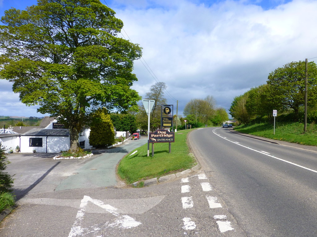
Dunlowmoor Wood is a stunning woodland located in Staffordshire, England. Spanning over an area of approximately 200 acres, this enchanting forest is a true gem of natural beauty. The wood is situated in a rural area, surrounded by picturesque countryside and rolling hills, creating a serene and peaceful atmosphere.

The woodland is predominantly composed of native tree species, such as oak, beech, and birch, which contribute to its diverse and vibrant ecosystem. The dense canopy formed by these towering trees filters the sunlight, creating dappled shade that enhances the woodland experience. In spring, the forest floor comes alive with a carpet of bluebells, transforming the landscape into a fairy-tale-like scene.

Dunlowmoor Wood is home to a rich variety of wildlife, including deer, foxes, badgers, and numerous bird species. Birdwatchers will be delighted to spot woodpeckers, owls, and various songbirds throughout the year. The woodland also provides a haven for rare and endangered species, such as the silver-washed fritillary butterfly and the lesser spotted woodpecker.

Visitors to Dunlowmoor Wood can explore the numerous walking trails that wind through the forest, offering breathtaking views and opportunities for wildlife spotting. The sound of birdsong and the rustling of leaves underfoot provide a soothing soundtrack to the experience. The wood is also a popular destination for nature enthusiasts, photographers, and those seeking a tranquil retreat from the hustle and bustle of everyday life.

In conclusion, Dunlowmoor Wood is a captivating woodland in Staffordshire, boasting a rich array of flora and fauna. Its natural beauty and peaceful ambiance make it a must-visit destination for anyone seeking solace in nature.

If you have any feedback on the listing, please let us know in the comments section below.

Dunlowmoor Wood Images

Images are sourced within 2km of 53.039366/-1.8226619 or Grid Reference SK1149. Thanks to Geograph Open Source API. All images are credited.

St Mary's Church in Calton "There has been a place of worship on the site since the 16th Century. The church was rebuilt in 1762 and subsequently restored in 1875. It consists of a nave and sanctuary with the additions of a vestry, South porch and balcony (in which the organ is now situated). It is built of local limestone with gritstone quoins and details. The roof is covered by plain blue Staffordshire tiles. There is a capped, wooden bell fleche at the West end containing one bell." (From "A Church Near You" website overseen by The Church of England)
St Mary's Church in Calton
"There has been a place of worship on the site since the 16th Century. The church was rebuilt in 1762 and subsequently restored in 1875. It consists of a nave and sanctuary with the additions of a vestry, South porch and balcony (in which the organ is now situated). It is built of local limestone with gritstone quoins and details. The roof is covered by plain blue Staffordshire tiles. There is a capped, wooden bell fleche at the West end containing one bell." (From "A Church Near You" website overseen by The Church of England)
A garden gate in Calton This is the gate of Rose Villa. It caught my eye as I rambled by.
A garden gate in Calton
This is the gate of Rose Villa. It caught my eye as I rambled by.
Inside St Mary's Church, Calton
Ilam Park: Part of the enormous car park
Ilam Park: View from the house
Ilam, Church of the Holy Cross
Ilam Park: Pepperpot Tower
Ilam Park: Pepperpot Tower (detail)
Ilam Hall Youth Hostel
Ilam Park: Weir on the River Manifold
Ilam Park: St. Bertram's Bridge over the River Manifold
Ilam Park: Tree lined path by the River Manifold
Ilam Hall Grade II Listed Building.
Country house that was on its way to demolition, when the National Trust stepped in to save what was left. Now leased out to the Youth Hostel Association.
Ilam Hall
Grade II Listed Building. Country house that was on its way to demolition, when the National Trust stepped in to save what was left. Now leased out to the Youth Hostel Association.
Ilam Park Following a concessionary path across the park towards the River Manifold from the car park behind Ilam Hall.
Marked on the map and signposted, although there is no evidence on the ground.
Ilam Park
Following a concessionary path across the park towards the River Manifold from the car park behind Ilam Hall. Marked on the map and signposted, although there is no evidence on the ground.
Permissive Footpath beside the River Manifold Follows the river meander below Ilam Park, and adopted by the Manifold Trail long distance footpath
Permissive Footpath beside the River Manifold
Follows the river meander below Ilam Park, and adopted by the Manifold Trail long distance footpath
Show me another place!

Dunlowmoor Wood is located at Grid Ref: SK1149 (Lat: 53.039366, Lng: -1.8226619)

Administrative County: Staffordshire

District: Staffordshire Moorlands

Police Authority: Staffordshire

What 3 Words

///insolvent.plus.survive. Near Mayfield, Staffordshire

Nearby Locations

Dun Low Dunlowmoor Wood

Related Wikis

Blore

Blore (grid reference SK137493) is a small village and parish in the Staffordshire Moorlands District of England. It is on an acclivity above Dovedale...

Swinscoe

Swinscoe is a small hamlet within the Staffordshire Moorlands in Staffordshire, England. Administratively, the hamlet is part of the civil parish of Blore...

Blore with Swinscoe

Blore with Swinscoe is a civil parish north-west of Ashbourne, in the Staffordshire Moorlands district of Staffordshire, England, on the edge of the Peak...

Ilam, Staffordshire

Ilam ( ) is a village in the Staffordshire Peak District of England, lying on the River Manifold. The population of the civil parish as taken at the 2011...

Calton, Staffordshire

Calton is a village and a former parochial chapelry and civil parish, now in the parish of Waterhouses, in the Staffordshire Moorlands district of Staffordshire...

Ilam Park

Ilam Park is a 158-acre (0.64 km2) country park situated in Ilam, on both banks of the River Manifold five miles (8 km) north west of Ashbourne, England...

White Peak Estate

The White Peak Estate (previously known as the South Peak Estate) of the National Trust comprises several land holdings in the Southern Peak District....

Thorswood

Thorswood is a nature reserve of the Staffordshire Wildlife Trust, situated in the Weaver Hills near the village of Stanton, in Staffordshire, England...

Nearby Amenities

Located within 500m of 53.039366,-1.8226619
Ele: 301
Lat/Long: 53.0380694/-1.8219714
Ele: 294
Lat/Long: 53.0389938/-1.8199713
Ele: 295
Lat/Long: 53.0399004/-1.8183183
Ele: 293
Lat/Long: 53.0387248/-1.8202397
Speed Camera
Lat/Long: 53.0354289/-1.8246916
Barrier: stile
Material: stone
Source: survey;gps
Stile: squeezer
Lat/Long: 53.0404591/-1.8173454
Fixme: does the footpath continue?
Lat/Long: 53.0427749/-1.820497
The data included in this document is from www.openstreetmap.org. The data is made available under ODbL.

Have you been to Dunlowmoor Wood?

Leave your review of Dunlowmoor Wood below (or comments, questions and feedback).