Black Plantation
Wood, Forest in Yorkshire Richmondshire
England
Black Plantation
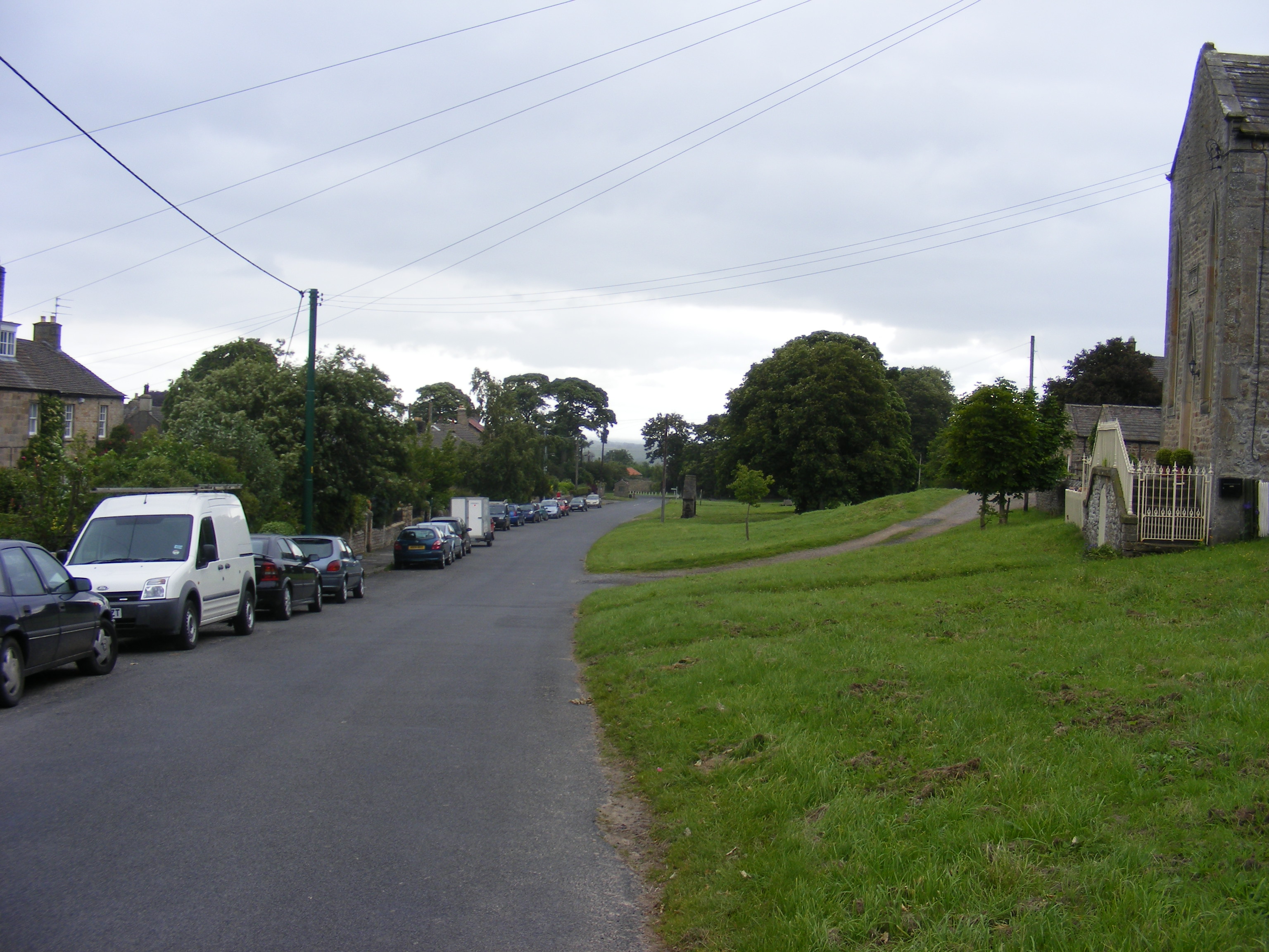
Black Plantation is a woodland area located in Yorkshire, England. Situated within the larger forested region, this plantation covers an approximate area of [insert size]. The name "Black Plantation" is derived from the dense and dark appearance of the woodland, primarily due to the presence of a variety of coniferous trees.
The plantation is predominantly composed of evergreen trees, including species such as spruce, pine, and fir. These conifers create a dense canopy, providing shelter and shade for a diverse range of flora and fauna. The forest floor is rich in mosses, ferns, and wildflowers, adding to the overall biodiversity of the area.
Black Plantation is a popular destination for nature enthusiasts, hikers, and birdwatchers. The woodland is home to a variety of bird species, including woodpeckers, tits, and owls. Visitors can often catch glimpses of these avian residents as they explore the well-maintained trails that wind through the plantation.
In addition to its ecological significance, Black Plantation also holds historical value. The woodland has been managed and used for timber production for centuries. The trees are selectively harvested, ensuring the sustainability of the forest and supporting the local economy.
Overall, Black Plantation is a picturesque woodland in Yorkshire, offering a tranquil escape for nature lovers and a glimpse into the region's rich natural and cultural heritage.
If you have any feedback on the listing, please let us know in the comments section below.
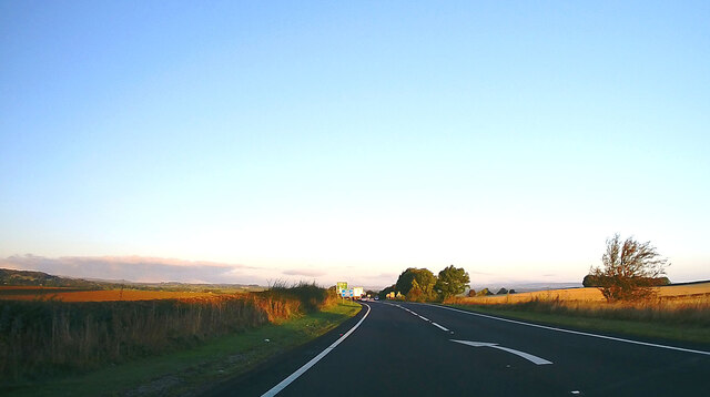
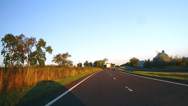
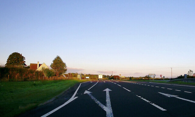
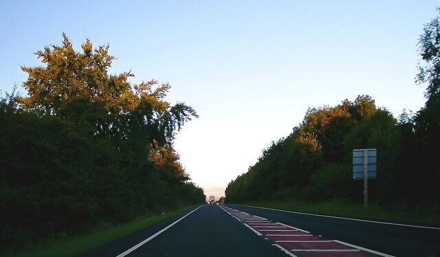
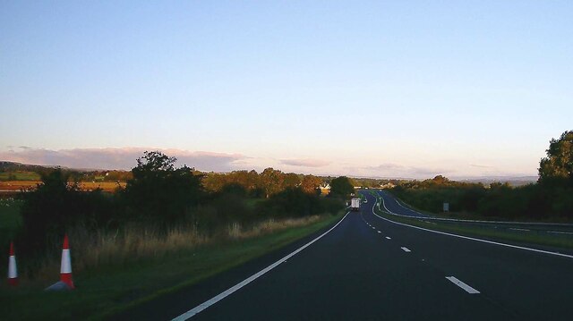
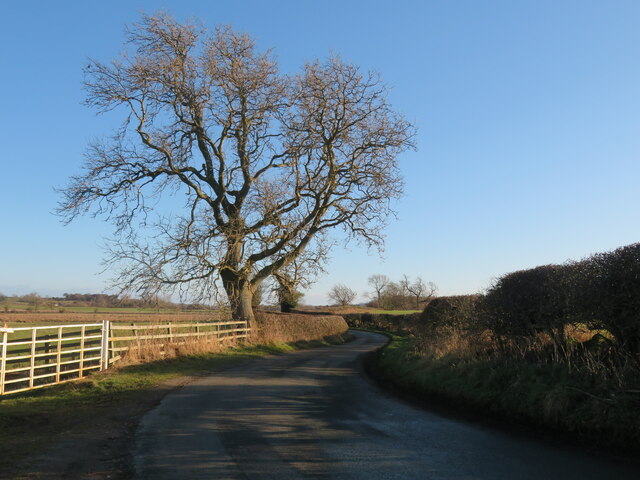
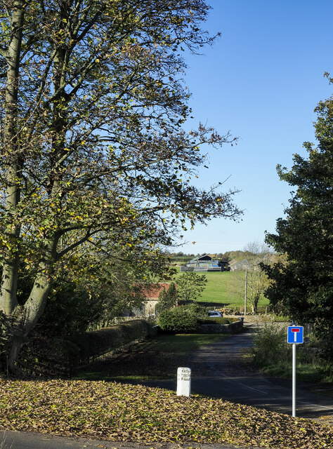
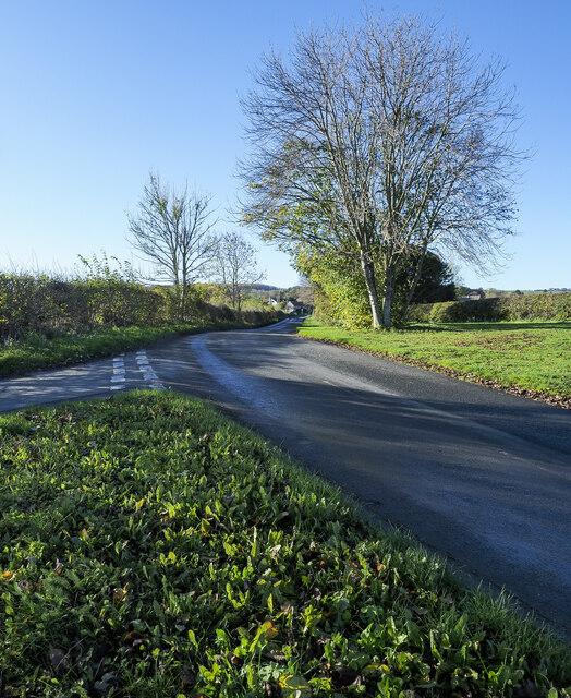
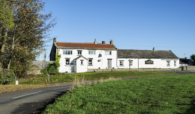
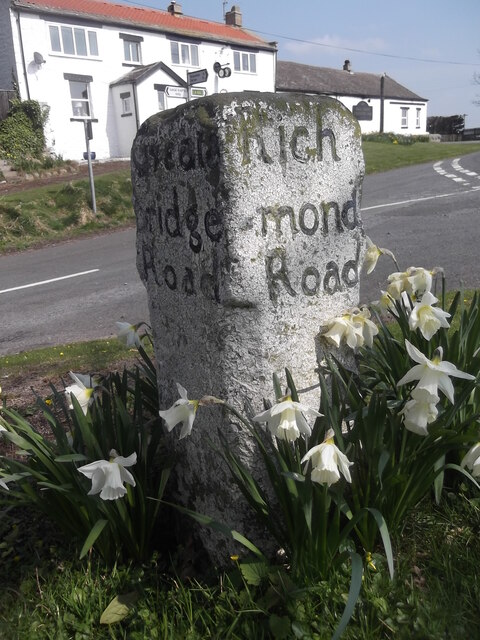
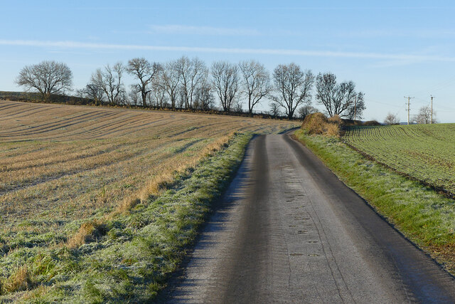
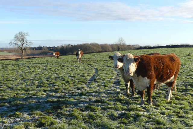
Black Plantation Images
Images are sourced within 2km of 54.488801/-1.8166727 or Grid Reference NZ1110. Thanks to Geograph Open Source API. All images are credited.


Black Plantation is located at Grid Ref: NZ1110 (Lat: 54.488801, Lng: -1.8166727)
Division: North Riding
Administrative County: North Yorkshire
District: Richmondshire
Police Authority: North Yorkshire
What 3 Words
///parent.chitchat.online. Near Hutton Magna, Co. Durham
Nearby Locations
Related Wikis

Newsham, Richmondshire
Newsham is a village and civil parish in the Richmondshire district of North Yorkshire, England. The village is 8 miles (13 km) north west of Richmond...

Dalton, west North Yorkshire
Dalton is a village and civil parish in North Yorkshire in England. Dalton is situated about six miles north-west of Richmond and about five miles south...

Hutton Magna
Hutton Magna is a village and civil parish in County Durham, England. Situated 7.6 miles (12.2 km) southeast of Barnard Castle. Lying within the historic...

West Layton
West Layton is a village and civil parish in the Richmondshire district of North Yorkshire, England, close to the border with County Durham and a few miles...

Gayles, North Yorkshire
Gayles is a village and civil parish in the Richmondshire district of North Yorkshire, England. Gayles is established in the district ward of Gilling West...

Ravensworth
Ravensworth is a village and civil parish in the Holmedale valley, within the Richmondshire district of North Yorkshire, England. It is approximately...

Barningham Park
Barningham Park is a Grade II* listed country house and 7,000 acre estate located in the village of Barningham, County Durham (formerly the North Riding...
Barningham, County Durham
Barningham is a village in County Durham, in the Pennines of England. == History == Barningham is listed in the Domesday Book under the Gilling Wapentake...
Have you been to Black Plantation?
Leave your review of Black Plantation below (or comments, questions and feedback).