Arna Knab Wood

Wood, Forest in Yorkshire Harrogate

England

Arna Knab Wood

Decaying barn by the Nidderdale Way A track from High Blayshaw to the south joins the track followed by the Nidderdale Way (a public bridleway at this point) just in front of this old farmhouse repurposed as a barn, but now quietly decaying and becoming overgrown.
Decaying barn by the Nidderdale Way Credit: Andy Waddington

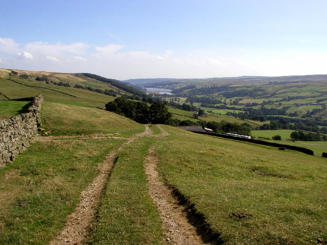
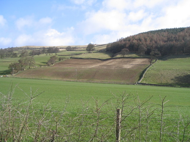
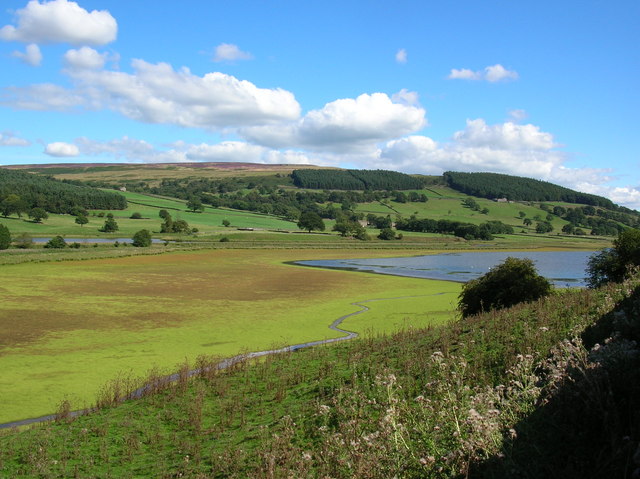
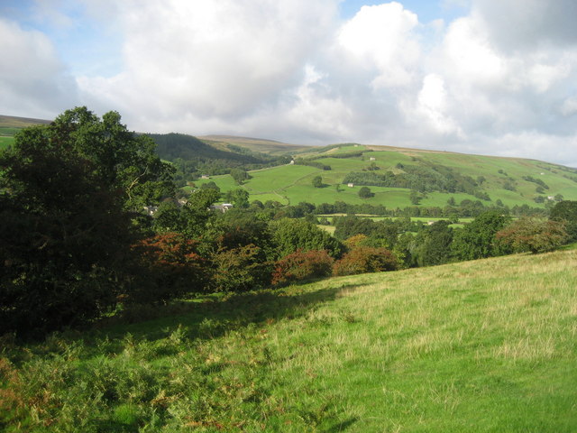
Arna Knab Wood is a picturesque woodland located in Yorkshire, England. Situated near the village of Arna, this forest is known for its natural beauty and diverse ecosystem. Covering an area of approximately 100 acres, the wood is primarily composed of deciduous trees such as oak, beech, and birch, creating a stunning display of colors during the autumn season.

The wood is home to a wide variety of wildlife, including deer, foxes, badgers, and a rich array of bird species. Birdwatchers often flock to Arna Knab Wood to catch a glimpse of rare species such as the Eurasian woodcock and the great spotted woodpecker. The forest also provides an ideal habitat for a host of insects and small mammals, contributing to its overall biodiversity.

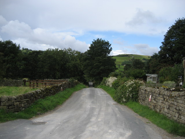
Visitors to Arna Knab Wood can enjoy a range of outdoor activities, including hiking, nature walks, and photography. The forest features well-maintained trails that wind through its enchanting scenery, allowing visitors to explore its hidden corners and discover its natural wonders. The wood is particularly popular during the spring and summer months, when the trees are in full bloom and the forest is teeming with life.

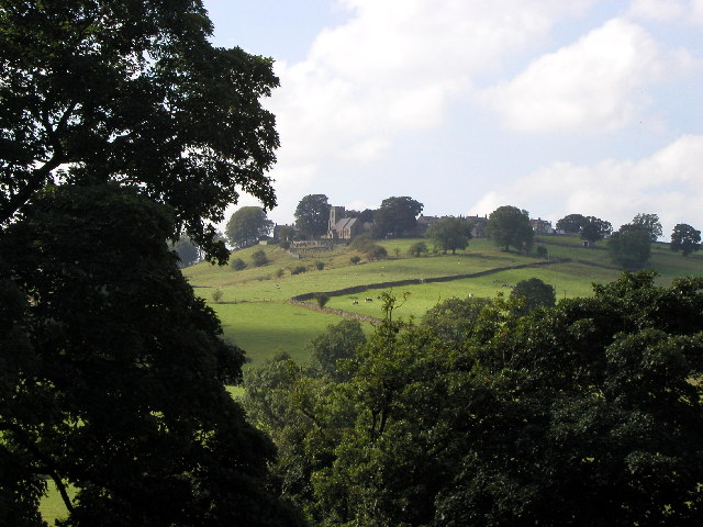
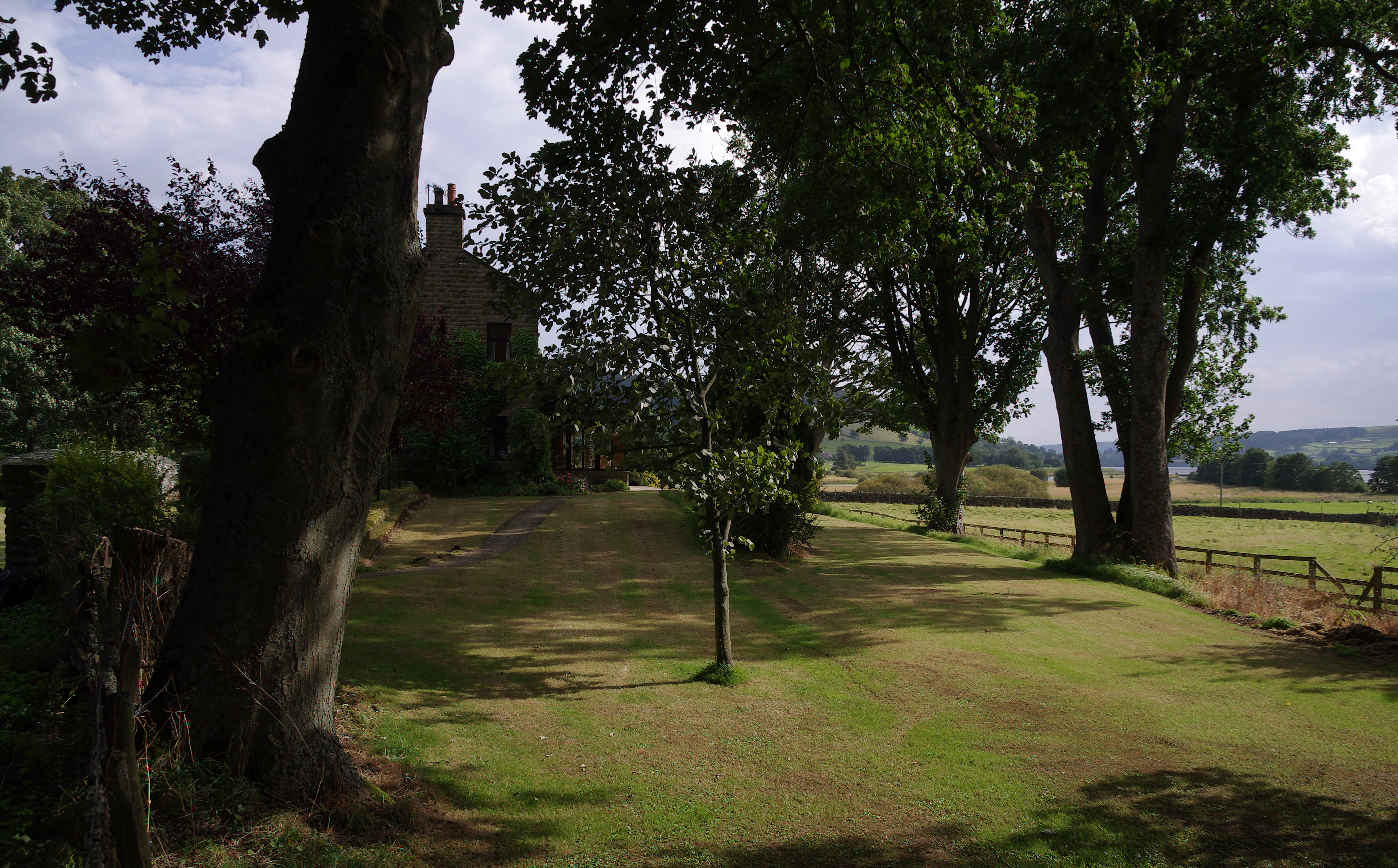
Arna Knab Wood offers a tranquil retreat from the hustle and bustle of urban life, with its peaceful atmosphere and stunning surroundings. It is a beloved destination for nature enthusiasts and families alike, providing an opportunity to connect with the natural world and appreciate the beauty of Yorkshire's landscape.

If you have any feedback on the listing, please let us know in the comments section below.

Arna Knab Wood Images

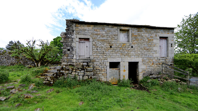
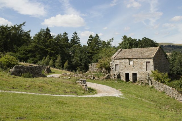
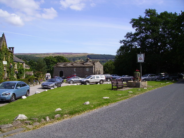
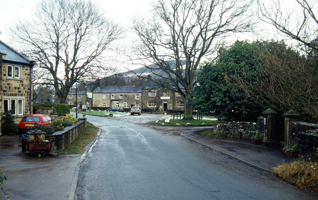
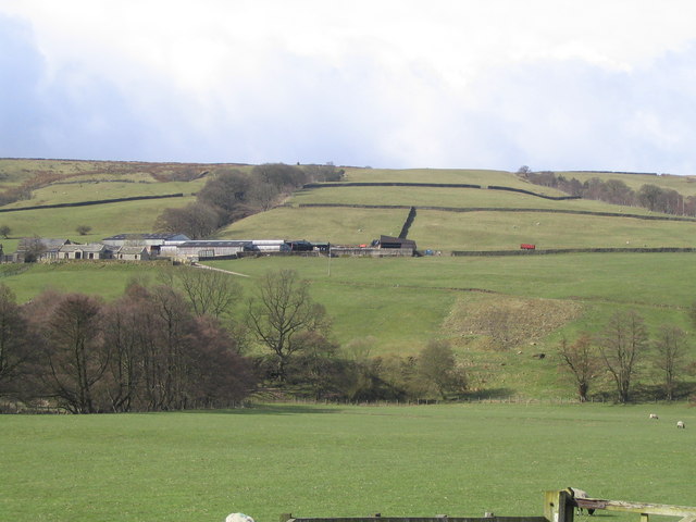
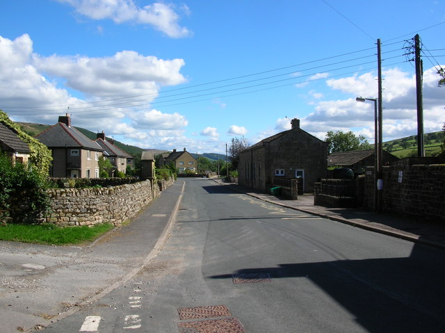
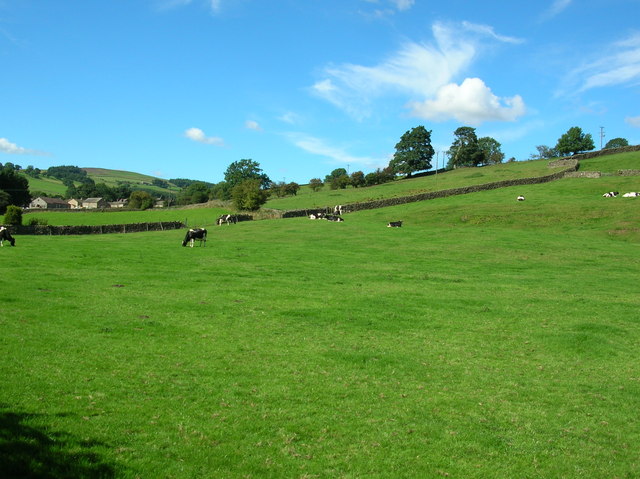
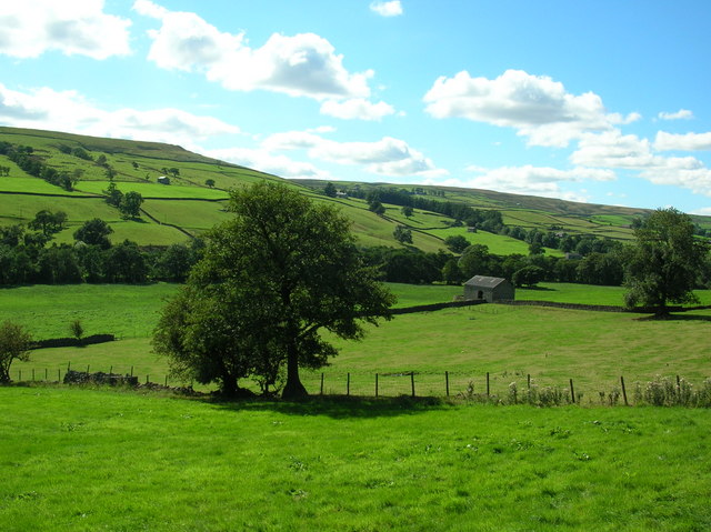
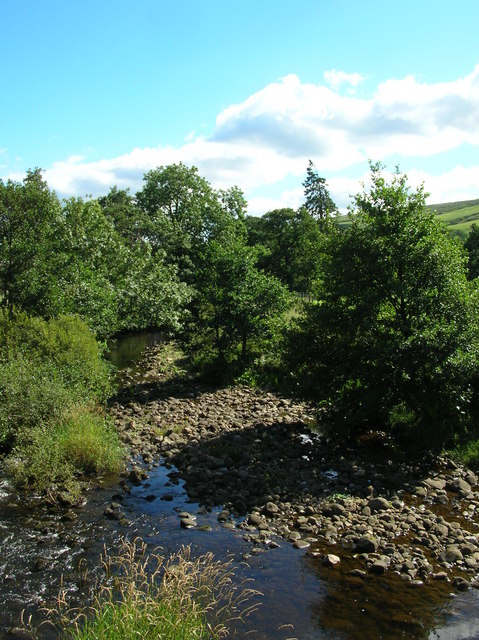
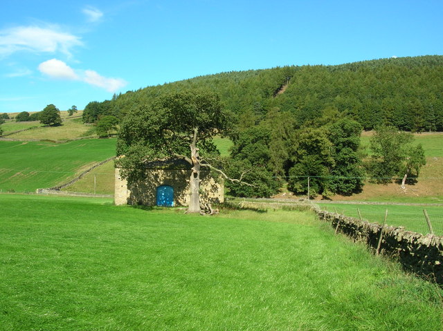
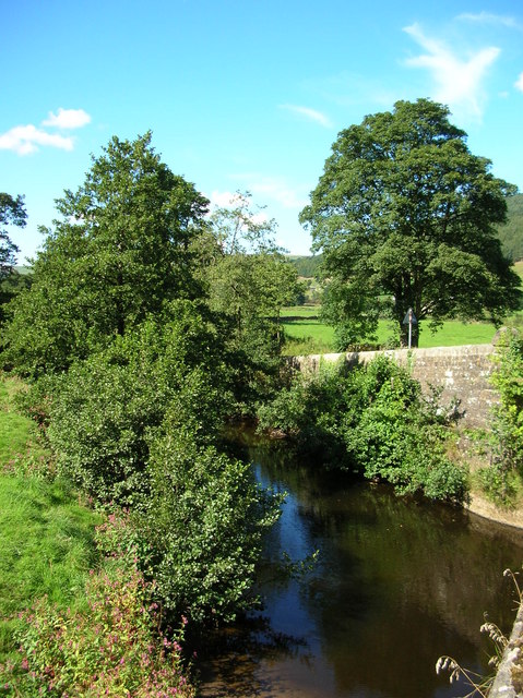
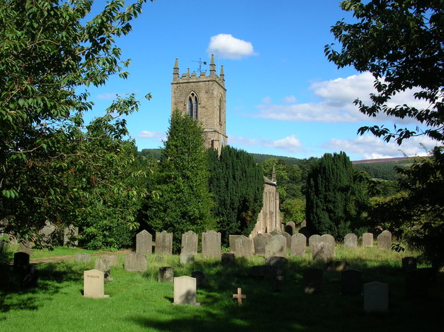
Images are sourced within 2km of 54.146799/-1.8202207 or Grid Reference SE1172. Thanks to Geograph Open Source API. All images are credited.

Decaying barn by the Nidderdale Way A track from High Blayshaw to the south joins the track followed by the Nidderdale Way (a public bridleway at this point) just in front of this old farmhouse repurposed as a barn, but now quietly decaying and becoming overgrown.
Decaying barn by the Nidderdale Way
A track from High Blayshaw to the south joins the track followed by the Nidderdale Way (a public bridleway at this point) just in front of this old farmhouse repurposed as a barn, but now quietly decaying and becoming overgrown.
Barn near Blayshaw Gill See here for another photograph taken in 2007: <a href="https://www.geograph.org.uk/photo/611675">SE0972 : Barn near Blayshaw Gill</a>.
Barn near Blayshaw Gill
See here for another photograph taken in 2007: SE0972 : Barn near Blayshaw Gill.
Ramsgill Right on the edge of the gridsquare. The Yorke Arms, Ramsgill.
Ramsgill
Right on the edge of the gridsquare. The Yorke Arms, Ramsgill.
Ramsgill Looking north into the centre of the village.
Ramsgill
Looking north into the centre of the village.
The view over to Gouthwaite Reservoir Picture looking southwards from MR: SE10737388 towards Gouthwaite Reservoir from the minor road.
The view over to Gouthwaite Reservoir
Picture looking southwards from MR: SE10737388 towards Gouthwaite Reservoir from the minor road.
Looking towards Middlesmoor Picture taken from MR: SE10137356 looking NWW towards Middlesmoor.
Looking towards Middlesmoor
Picture taken from MR: SE10137356 looking NWW towards Middlesmoor.
The head of Gouthwaite Reservoir A much depleted reservoir in July 2002.
The head of Gouthwaite Reservoir
A much depleted reservoir in July 2002.
Nidderdale Looking North East from road between Ramsgill and Lofthouse
Nidderdale
Looking North East from road between Ramsgill and Lofthouse
West House Farm Fields and Land belonging to the farm taken from entrance to farm
West House Farm
Fields and Land belonging to the farm taken from entrance to farm
Lofthouse The village of Lofthouse in the Nidd valley. This is taken from the road junction.
Lofthouse
The village of Lofthouse in the Nidd valley. This is taken from the road junction.
Cows near Lofthouse Looking back towards the village of Lofthouse.
Cows near Lofthouse
Looking back towards the village of Lofthouse.
Across Nidderdale Taken from the bend in the road, this is the view towards the Nidderdale way from between Lofthouse and Ramsgill.
Across Nidderdale
Taken from the bend in the road, this is the view towards the Nidderdale way from between Lofthouse and Ramsgill.
River Nidd Taken from next to the entrance to West House Farm. The Nidd runs from Scar House reservoir along the Nidd Valley through Patley Bridge and Knaresborough and joins with the River Ouse at Nun Monkton. The confluence is seen here: <a href="https://www.geograph.org.uk/photo/184550">SE5157 : Nun Monkton Priory</a>.
River Nidd
Taken from next to the entrance to West House Farm. The Nidd runs from Scar House reservoir along the Nidd Valley through Patley Bridge and Knaresborough and joins with the River Ouse at Nun Monkton. The confluence is seen here: SE5157 : Nun Monkton Priory.
Barn at Longside Halfway between Ramsgill and Lofthouse.
Barn at Longside
Halfway between Ramsgill and Lofthouse.
Nidd at Ramsgill From the road bridge over the Nidd.
Nidd at Ramsgill
From the road bridge over the Nidd.
Ramsgill Church Standing at the edge of Gouthwaite reservoir.
Ramsgill Church
Standing at the edge of Gouthwaite reservoir.
Marshland at Gouthwaite The amount of visible marsh varies a lot throughout the year with the reservoir. Taken in the middle of summer the reservoir at this end is fairly low, and much land is exposed.
Marshland at Gouthwaite
The amount of visible marsh varies a lot throughout the year with the reservoir. Taken in the middle of summer the reservoir at this end is fairly low, and much land is exposed.
Bouthwaite From the end of the cul-de-sac lane looking down its length towards Ramsgill
Bouthwaite
From the end of the cul-de-sac lane looking down its length towards Ramsgill
Show me another place!

Arna Knab Wood is located at Grid Ref: SE1172 (Lat: 54.146799, Lng: -1.8202207)

Division: West Riding

Administrative County: North Yorkshire

District: Harrogate

Police Authority: North Yorkshire

What 3 Words

///preoccupied.lunching.lawful. Near Pateley Bridge, North Yorkshire

Related Wikis

Ramsgill

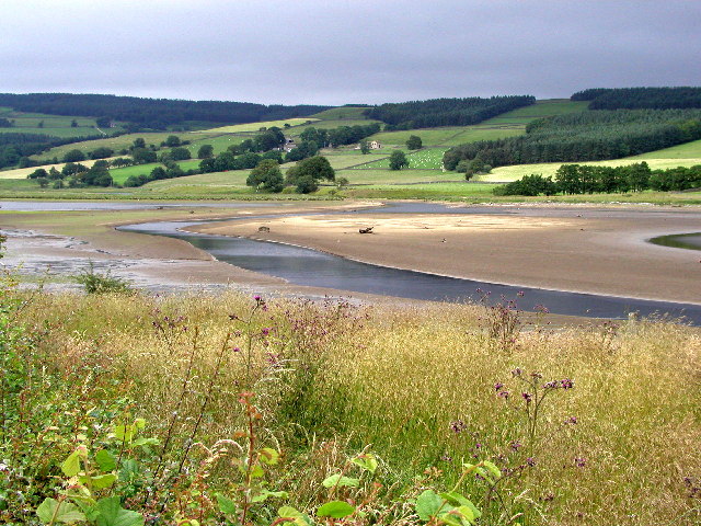
Ramsgill is a small village in Nidderdale, North Yorkshire, England, about 2 miles (3.2 km) south-east of Lofthouse, located near Gouthwaite Reservoir...

Ramsgill railway station

Ramsgill railway station was a station on the Nidd Valley Light Railway in Nidderdale in Yorkshire, England. It opened in 1907 and closed in 1930. It was...
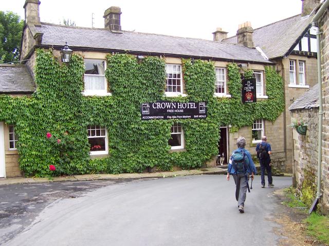
Yorke Arms

The Yorke Arms is a luxury events venue in Ramsgill, Nidderdale, in the Yorkshire Dales in northern England.The building began life as a shooting lodge...

Lofthouse-in-Nidderdale railway station

Lofthouse-in-Nidderdale railway station was the northernmost regular passenger terminus on the Nidd Valley Light Railway (NVLR), in Lofthouse, then in...

Skipton and Ripon (UK Parliament constituency)

Skipton and Ripon is a constituency in North Yorkshire represented in the House of Commons of the UK Parliament since 2010 by Julian Smith, a Conservative...

Lofthouse, North Yorkshire

Lofthouse is a small village in Nidderdale in the Harrogate district of North Yorkshire, England about a mile south of Middlesmoor. It is the principal...

Bouthwaite

Bouthwaite is a hamlet in the Harrogate district of North Yorkshire, England. It is situated in Nidderdale, to the north of Pateley Bridge, close to the...

How Stean Gorge

How Stean Gorge is a limestone gorge in Nidderdale in North Yorkshire, England. It forms a unit of the Upper Nidderdale Site of Special Scientific Interest...

Related Videos

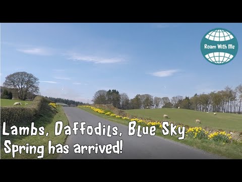
Driving Pateley Bridge to Lofthouse, with daffodils lambs and sparkling water.

Roadside daffodils in full bloom, lambs in the fields, a sparking stream and blue skies; it must be Spring time in Yorkshire.

Nearby Amenities

Located within 500m of 54.146799,-1.8202207
Longside House
Place: isolated_dwelling
Lat/Long: 54.1451241/-1.8236055
The data included in this document is from www.openstreetmap.org. The data is made available under ODbL.

Have you been to Arna Knab Wood?

Leave your review of Arna Knab Wood below (or comments, questions and feedback).