Longside Wood

Wood, Forest in Yorkshire Harrogate

England

Longside Wood

Decaying barn by the Nidderdale Way A track from High Blayshaw to the south joins the track followed by the Nidderdale Way (a public bridleway at this point) just in front of this old farmhouse repurposed as a barn, but now quietly decaying and becoming overgrown.
Decaying barn by the Nidderdale Way Credit: Andy Waddington

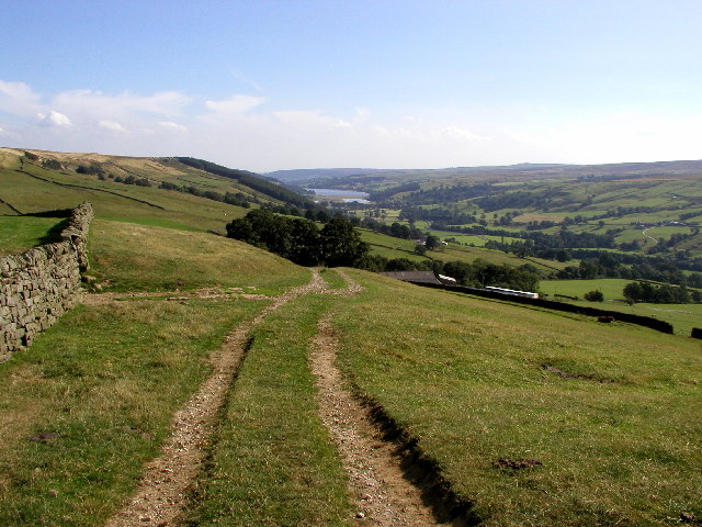
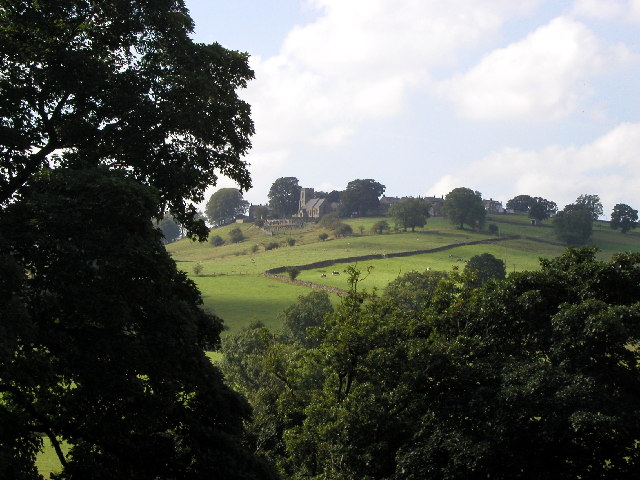
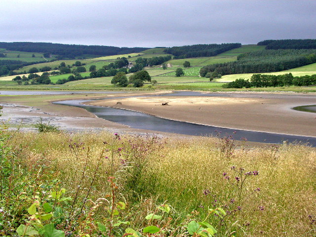
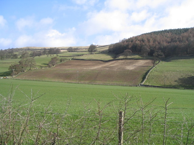
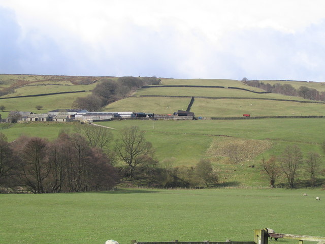
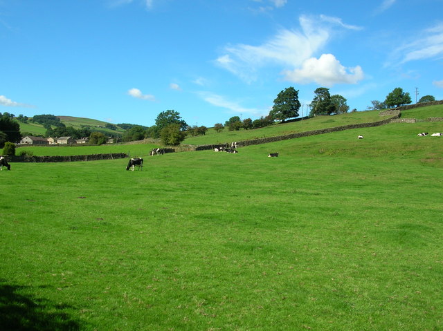
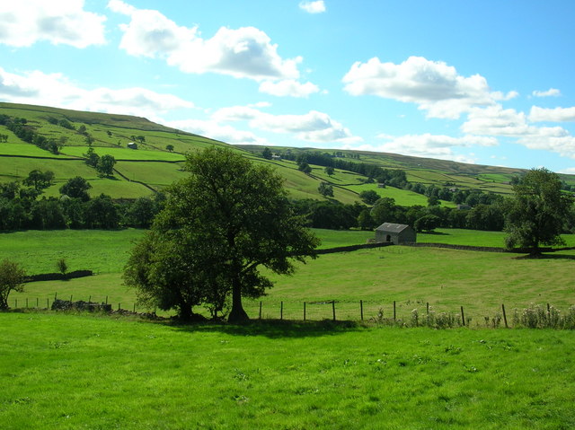
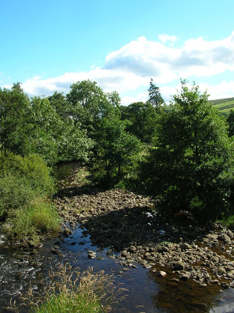
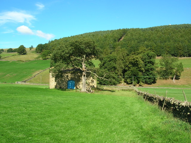
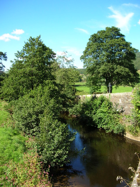
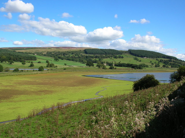
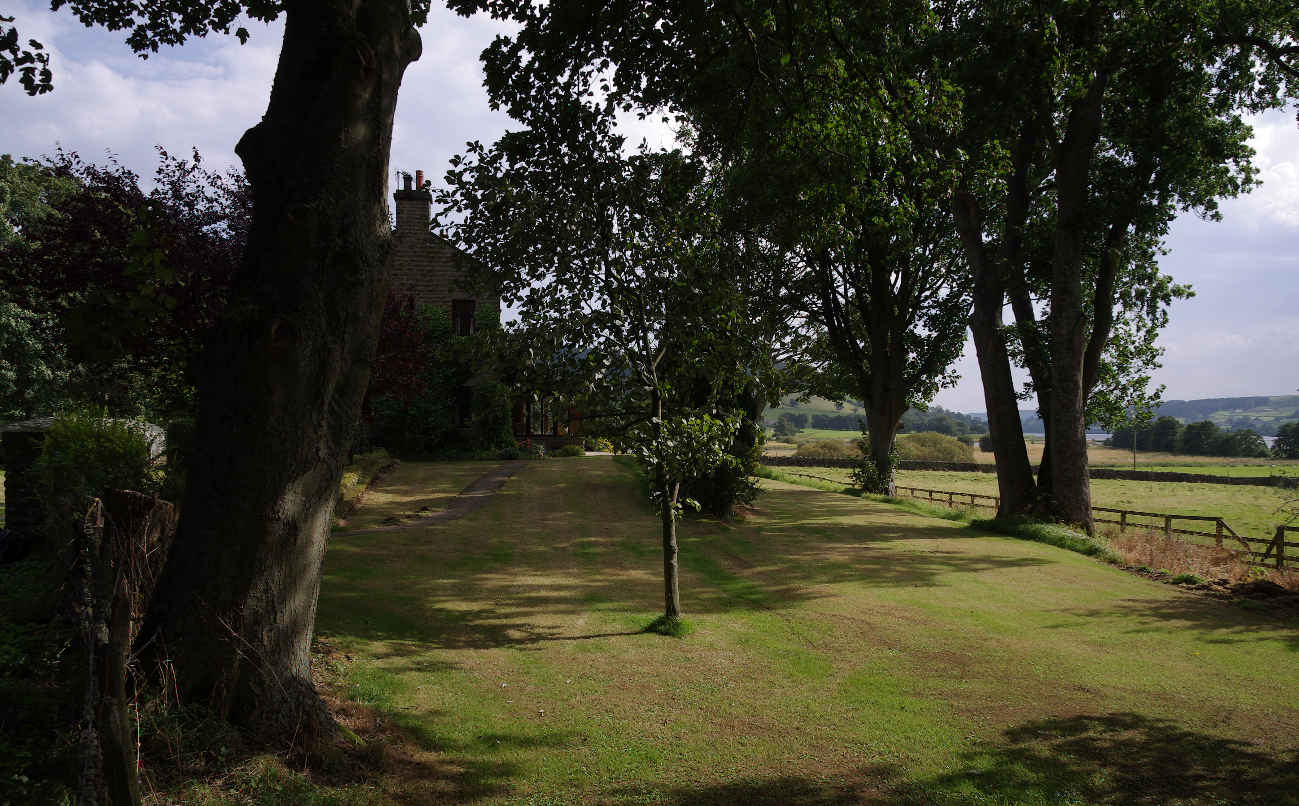
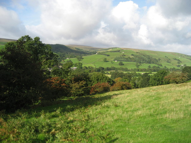
Longside Wood, located in Yorkshire, is a picturesque woodland area known for its natural beauty and diverse wildlife. Covering an expansive area, the wood is home to a rich variety of flora and fauna, making it an ideal destination for nature enthusiasts and wildlife lovers.

The wood is characterized by its dense canopy of trees, including oak, beech, and birch, which provide shelter and habitat for numerous species. Bluebells, wild garlic, and other wildflowers carpet the forest floor during the spring months, creating a stunning display of colors.

Longside Wood boasts a network of well-maintained walking trails that allow visitors to explore the area at their own pace. These trails offer breathtaking views of the surrounding countryside and are suitable for all ages and abilities. Birdwatchers will be delighted to spot a wide range of avian species, including woodpeckers, owls, and various songbirds.

The wood is managed by a dedicated team of conservationists who prioritize the preservation of the natural environment. They carefully maintain the trails, ensuring they remain accessible and safe for visitors, while also implementing sustainable practices to protect the delicate ecosystem.

Longside Wood is a popular destination for outdoor activities such as picnicking, photography, and nature walks. Its tranquil atmosphere and stunning vistas make it an idyllic spot for those seeking solace in nature. Whether it's the vibrant colors of spring or the golden hues of autumn, Longside Wood offers a captivating experience for all who venture into its enchanting realm.

If you have any feedback on the listing, please let us know in the comments section below.

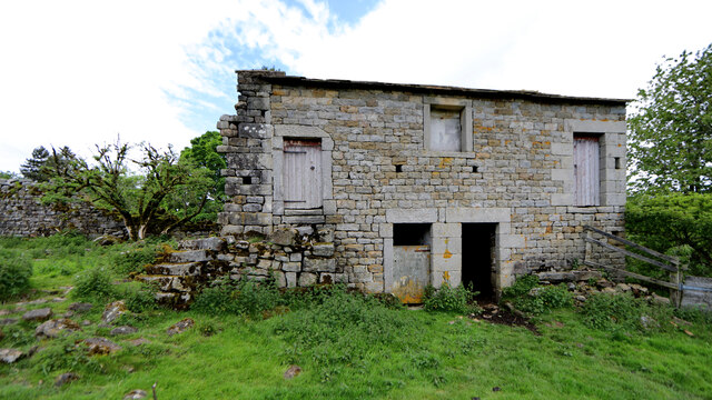
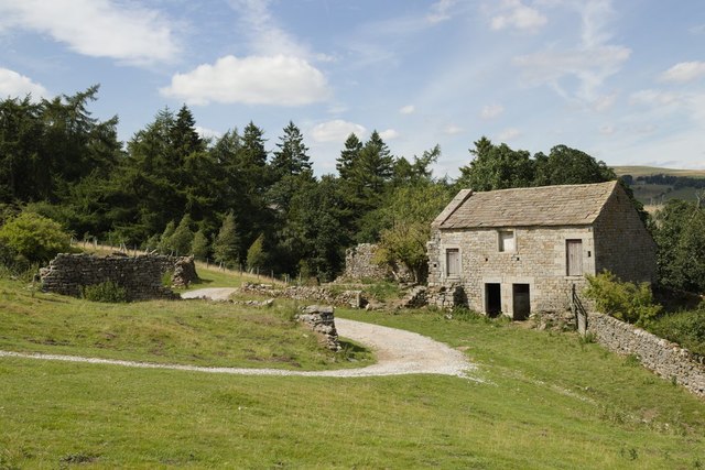
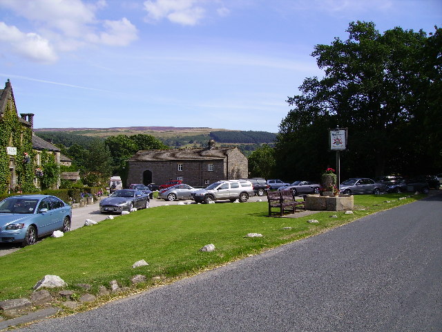
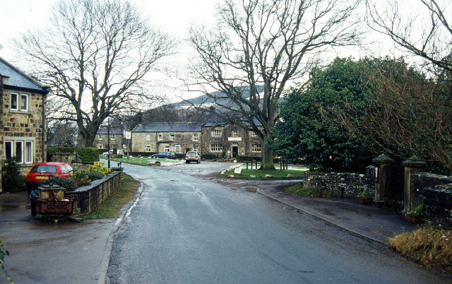
Longside Wood Images

Images are sourced within 2km of 54.145625/-1.8225221 or Grid Reference SE1172. Thanks to Geograph Open Source API. All images are credited.

Decaying barn by the Nidderdale Way A track from High Blayshaw to the south joins the track followed by the Nidderdale Way (a public bridleway at this point) just in front of this old farmhouse repurposed as a barn, but now quietly decaying and becoming overgrown.
Decaying barn by the Nidderdale Way
A track from High Blayshaw to the south joins the track followed by the Nidderdale Way (a public bridleway at this point) just in front of this old farmhouse repurposed as a barn, but now quietly decaying and becoming overgrown.
Blayshaw Lane
Blayshaw Lane
Barn near Blayshaw Gill See here for another photograph taken in 2007: <a href="https://www.geograph.org.uk/photo/611675">SE0972 : Barn near Blayshaw Gill</a>.
Barn near Blayshaw Gill
See here for another photograph taken in 2007: SE0972 : Barn near Blayshaw Gill.
Ramsgill Right on the edge of the gridsquare. The Yorke Arms, Ramsgill.
Ramsgill
Right on the edge of the gridsquare. The Yorke Arms, Ramsgill.
Ramsgill Looking north into the centre of the village.
Ramsgill
Looking north into the centre of the village.
The view over to Gouthwaite Reservoir Picture looking southwards from MR: SE10737388 towards Gouthwaite Reservoir from the minor road.
The view over to Gouthwaite Reservoir
Picture looking southwards from MR: SE10737388 towards Gouthwaite Reservoir from the minor road.
Looking towards Middlesmoor Picture taken from MR: SE10137356 looking NWW towards Middlesmoor.
Looking towards Middlesmoor
Picture taken from MR: SE10137356 looking NWW towards Middlesmoor.
The head of Gouthwaite Reservoir A much depleted reservoir in July 2002.
The head of Gouthwaite Reservoir
A much depleted reservoir in July 2002.
Nidderdale Looking North East from road between Ramsgill and Lofthouse
Nidderdale
Looking North East from road between Ramsgill and Lofthouse
West House Farm Fields and Land belonging to the farm taken from entrance to farm
West House Farm
Fields and Land belonging to the farm taken from entrance to farm
Lofthouse The village of Lofthouse in the Nidd valley. This is taken from the road junction.
Lofthouse
The village of Lofthouse in the Nidd valley. This is taken from the road junction.
Cows near Lofthouse Looking back towards the village of Lofthouse.
Cows near Lofthouse
Looking back towards the village of Lofthouse.
Across Nidderdale Taken from the bend in the road, this is the view towards the Nidderdale way from between Lofthouse and Ramsgill.
Across Nidderdale
Taken from the bend in the road, this is the view towards the Nidderdale way from between Lofthouse and Ramsgill.
River Nidd Taken from next to the entrance to West House Farm. The Nidd runs from Scar House reservoir along the Nidd Valley through Patley Bridge and Knaresborough and joins with the River Ouse at Nun Monkton. The confluence is seen here: <a href="https://www.geograph.org.uk/photo/184550">SE5157 : Nun Monkton Priory</a>.
River Nidd
Taken from next to the entrance to West House Farm. The Nidd runs from Scar House reservoir along the Nidd Valley through Patley Bridge and Knaresborough and joins with the River Ouse at Nun Monkton. The confluence is seen here: SE5157 : Nun Monkton Priory.
Barn at Longside Halfway between Ramsgill and Lofthouse.
Barn at Longside
Halfway between Ramsgill and Lofthouse.
Nidd at Ramsgill From the road bridge over the Nidd.
Nidd at Ramsgill
From the road bridge over the Nidd.
Ramsgill Church Standing at the edge of Gouthwaite reservoir.
Ramsgill Church
Standing at the edge of Gouthwaite reservoir.
Marshland at Gouthwaite The amount of visible marsh varies a lot throughout the year with the reservoir. Taken in the middle of summer the reservoir at this end is fairly low, and much land is exposed.
Marshland at Gouthwaite
The amount of visible marsh varies a lot throughout the year with the reservoir. Taken in the middle of summer the reservoir at this end is fairly low, and much land is exposed.
Show me another place!

Longside Wood is located at Grid Ref: SE1172 (Lat: 54.145625, Lng: -1.8225221)

Division: West Riding

Administrative County: North Yorkshire

District: Harrogate

Police Authority: North Yorkshire

What 3 Words

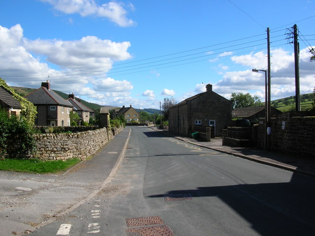
///sitting.wash.elbowing. Near Pateley Bridge, North Yorkshire

Related Wikis

Ramsgill

Ramsgill is a small village in Nidderdale, North Yorkshire, England, about 2 miles (3.2 km) south-east of Lofthouse, located near Gouthwaite Reservoir...

Ramsgill railway station

Ramsgill railway station was a station on the Nidd Valley Light Railway in Nidderdale in Yorkshire, England. It opened in 1907 and closed in 1930. It was...

Yorke Arms

The Yorke Arms is a luxury events venue in Ramsgill, Nidderdale, in the Yorkshire Dales in northern England.The building began life as a shooting lodge...

Lofthouse-in-Nidderdale railway station

Lofthouse-in-Nidderdale railway station was the northernmost regular passenger terminus on the Nidd Valley Light Railway (NVLR), in Lofthouse, then in...

Lofthouse, North Yorkshire

Lofthouse is a small village in Nidderdale in the Harrogate district of North Yorkshire, England about a mile south of Middlesmoor. It is the principal...

Bouthwaite

Bouthwaite is a hamlet in the Harrogate district of North Yorkshire, England. It is situated in Nidderdale, to the north of Pateley Bridge, close to the...

Skipton and Ripon (UK Parliament constituency)

Skipton and Ripon is a constituency in North Yorkshire represented in the House of Commons of the UK Parliament since 2010 by Julian Smith, a Conservative...

How Stean Gorge

How Stean Gorge is a limestone gorge in Nidderdale in North Yorkshire, England. It forms a unit of the Upper Nidderdale Site of Special Scientific Interest...

Nearby Amenities

Located within 500m of 54.145625,-1.8225221
Longside Farm
Place: farm
Lat/Long: 54.1419819/-1.8188607
Longside House
Place: isolated_dwelling
Lat/Long: 54.1451241/-1.8236055
Power: pole
Lat/Long: 54.1416997/-1.8211291
Power: pole
Lat/Long: 54.1421139/-1.8218964
Power: pole
Lat/Long: 54.1426386/-1.8225852
Power: pole
Lat/Long: 54.1431586/-1.823253
Power: pole
Lat/Long: 54.1436834/-1.8238972
Power: pole
Lat/Long: 54.1442232/-1.8245598
Power: pole
Lat/Long: 54.1447064/-1.825136
Power: pole
Lat/Long: 54.1452479/-1.8257986
Power: pole
Lat/Long: 54.1456452/-1.8264166
Power: pole
Lat/Long: 54.1460809/-1.8271106
Power: pole
Lat/Long: 54.1465196/-1.8278308
Power: pole
Lat/Long: 54.1469368/-1.8285222
Power: pole
Lat/Long: 54.1476608/-1.8292241
Power: pole
Lat/Long: 54.1414635/-1.8199035
Power: pole
Lat/Long: 54.141758/-1.8194216
Power: pole
Lat/Long: 54.1419789/-1.8190864
Power: pole
Lat/Long: 54.1440591/-1.8236432
Power: pole
Lat/Long: 54.1444549/-1.823363
Power: pole
Lat/Long: 54.144866/-1.8231116
The data included in this document is from www.openstreetmap.org. The data is made available under ODbL.

Have you been to Longside Wood?

Leave your review of Longside Wood below (or comments, questions and feedback).