West Park Wood

Wood, Forest in Hampshire New Forest

England

West Park Wood

Snowdrops in St Georges churchyard
Snowdrops in St Georges churchyard Credit: Clive Perrin

West Park Wood is a picturesque woodland located in Hampshire, England. Covering an area of approximately 50 acres, it is known for its diverse range of flora and fauna, making it an important ecological site. The wood is situated in a tranquil rural setting, providing an ideal escape from the hustle and bustle of everyday life.

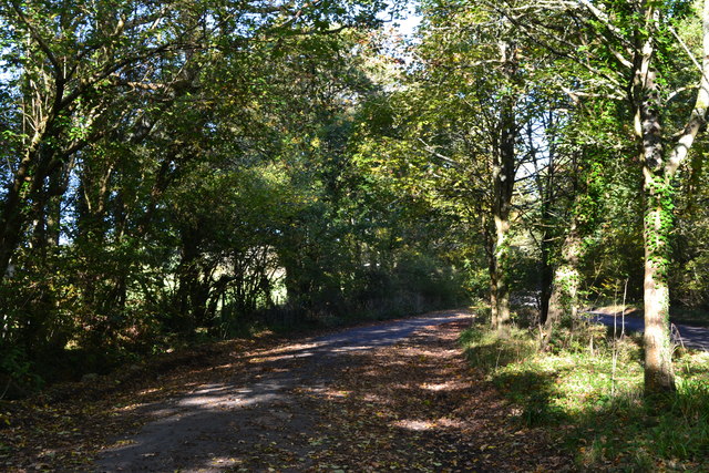
The wood is predominantly composed of broadleaf trees, including oak, beech, and ash, which create a dense canopy overhead, providing shade and shelter to the woodland floor. This creates a unique habitat for a variety of wildlife, such as deer, foxes, and numerous bird species. The wood is also home to a diverse range of plant species, including bluebells, primroses, and wood anemones, which create a colorful display during the spring months.

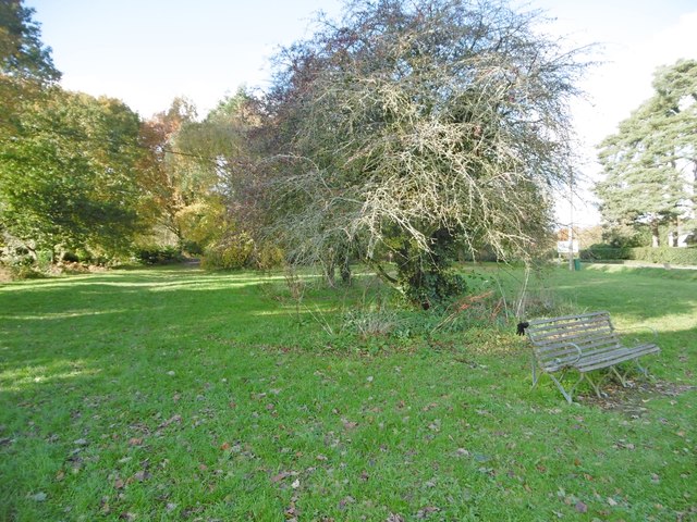
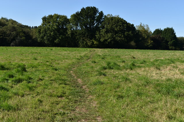
The wood features a network of well-maintained footpaths, allowing visitors to explore the natural beauty of the area. These paths wind through the wood, offering stunning views of the surrounding landscape. Many visitors enjoy walking, jogging, or simply relaxing in the peaceful ambiance of the wood.

West Park Wood is managed by the local authorities to ensure its conservation and protection. The wood is a designated Site of Special Scientific Interest (SSSI), recognizing its ecological significance. It is also enjoyed by local schools and educational institutions, who organize nature walks and field trips to teach students about the importance of preserving natural habitats.

Overall, West Park Wood is a cherished natural gem, offering a tranquil escape and an opportunity to immerse oneself in the beauty of nature.

If you have any feedback on the listing, please let us know in the comments section below.

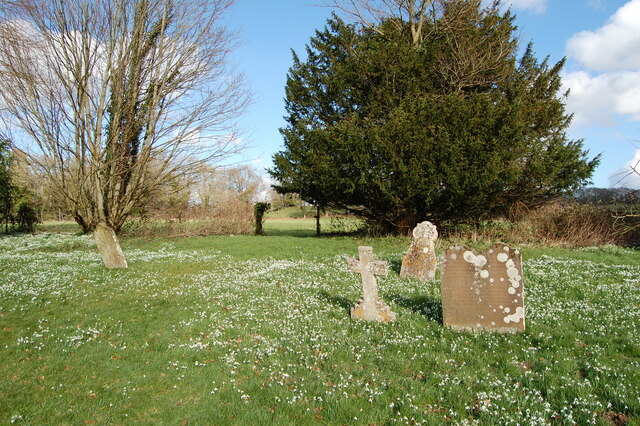
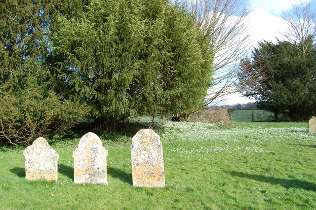
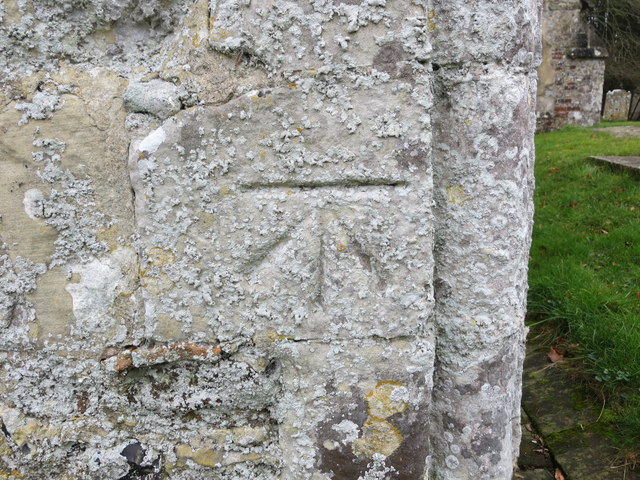
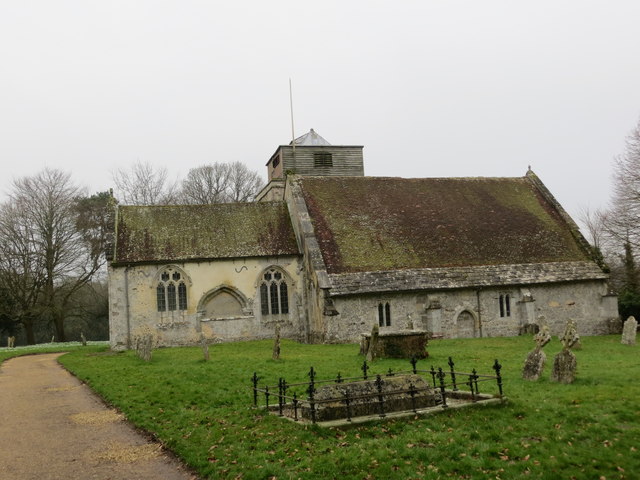
West Park Wood Images

Images are sourced within 2km of 50.947403/-1.8329191 or Grid Reference SU1116. Thanks to Geograph Open Source API. All images are credited.

Snowdrops in St Georges churchyard
St George's  church yard
St George's church yard
Rockbourne The centre of the village looking north with the sign of the Rose and Thistle pub just visible.
Rockbourne
The centre of the village looking north with the sign of the Rose and Thistle pub just visible.
Ordnance Survey Cut Mark This can be found on the wall of St George's Church at Damerham.
For more detail see : <span class="nowrap"><a title="http://www.bench-marks.org.uk/bm33542" rel="nofollow ugc noopener" href="http://www.bench-marks.org.uk/bm33542">Link</a><img style="margin-left:2px;" alt="External link" title="External link - shift click to open in new window" src="https://s1.geograph.org.uk/img/external.png" width="10" height="10"/></span>
Ordnance Survey Cut Mark
This can be found on the wall of St George's Church at Damerham. For more detail see : LinkExternal link
The Church of St George at Damerham Viewed from the north-east.
The Church of St George at Damerham
Viewed from the north-east.
Leafy lay-by near Sandleheath
Old Boundary Marker by Rockbourne Lane, Damerham Parish Parish Boundary Marker by the UC road, in parish of Damerham (New Forest District), Rockbourne Lane, edge of field next to hedge.

Surveyed

Milestone Society National ID: HA_DAMROC01pb.
Old Boundary Marker by Rockbourne Lane, Damerham Parish
Parish Boundary Marker by the UC road, in parish of Damerham (New Forest District), Rockbourne Lane, edge of field next to hedge. Surveyed Milestone Society National ID: HA_DAMROC01pb.
Sandleheath Village Stores Post office and stores on Main Road.
Sandleheath Village Stores
Post office and stores on Main Road.
Sandleheath, bus shelter On Main Road, next to the crossroads; offering infrequent services to Fordingbridge and Salisbury.
Sandleheath, bus shelter
On Main Road, next to the crossroads; offering infrequent services to Fordingbridge and Salisbury.
Sandleheath Common A narrow strip of access land, studded with trees; next to Damerham Road.
Sandleheath Common
A narrow strip of access land, studded with trees; next to Damerham Road.
Sandleheath Industrial Estate Units on Old Brickyard Road.
Sandleheath Industrial Estate
Units on Old Brickyard Road.
Direction Sign – Signpost Located on the southwest side of Whitsbury cross in Whitsbury parish. 4 arms and disc finial. See also <a title="https://www.geograph.org.uk/photo/2331232" href="https://www.geograph.org.uk/photo/2331232">Link</a> and <a title="https://www.geograph.org.uk/photo/1287344" href="https://www.geograph.org.uk/photo/1287344">Link</a>.

Milestone Society National ID: HA_SU1317
Direction Sign – Signpost
Located on the southwest side of Whitsbury cross in Whitsbury parish. 4 arms and disc finial. See also Link and Link. Milestone Society National ID: HA_SU1317
Bench seat and crossroads at Sandleheath
Path across field south of Lower Court Wood
Grassy path between fields
Footpath on track near South End
Footpath emerging onto Cornpits Lane
River Allen at Hawkhill Mill Farm
Show me another place!

West Park Wood is located at Grid Ref: SU1116 (Lat: 50.947403, Lng: -1.8329191)

Administrative County: Hampshire

District: New Forest

Police Authority: Hampshire

What 3 Words

///shackles.venue.nurse. Near Fordingbridge, Hampshire

Nearby Locations

West Park Wood West Park

Related Wikis

Rockbourne Roman Villa

Rockbourne Roman Villa is a Roman courtyard villa excavated and put on public display in the village of Rockbourne in the English county of Hampshire....

Damerham

Damerham is a rural village and civil parish in the New Forest district of Hampshire, England, near Fordingbridge. The area has notable Neolithic and Bronze...
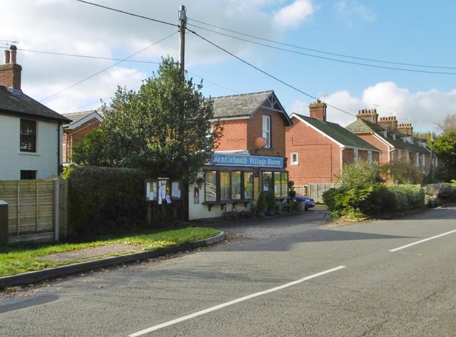
Sandleheath

Sandleheath is a village and civil parish about 1.8 miles (2.9 km) west of Fordingbridge in the New Forest District of Hampshire, England. It has a...

Rockbourne

Rockbourne is a village and civil parish in the English county of Hampshire, close to Fordingbridge. == Overview == Rockbourne is a village of thatched...

Nearby Amenities

Located within 500m of 50.947403,-1.8329191
Barrier: stile
Lat/Long: 50.9483102/-1.8264281
Sir Eyre Coote's Monument
Commemorates Wikidata: Q2613325
Historic: memorial
Lat/Long: 50.9463623/-1.8346337
The data included in this document is from www.openstreetmap.org. The data is made available under ODbL.

Have you been to West Park Wood?

Leave your review of West Park Wood below (or comments, questions and feedback).