West Broombank Wood
Wood, Forest in Durham
England
West Broombank Wood
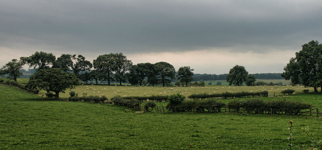
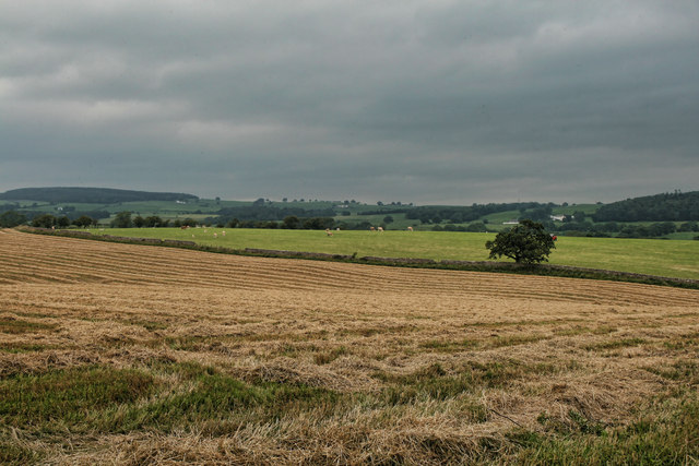
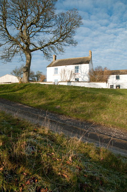
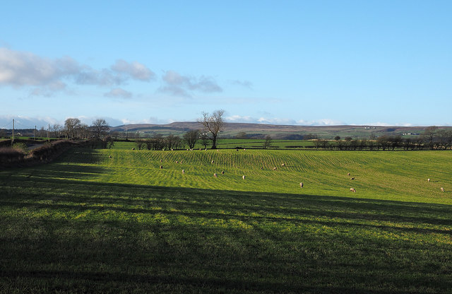
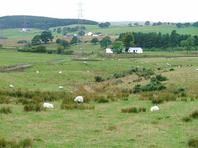
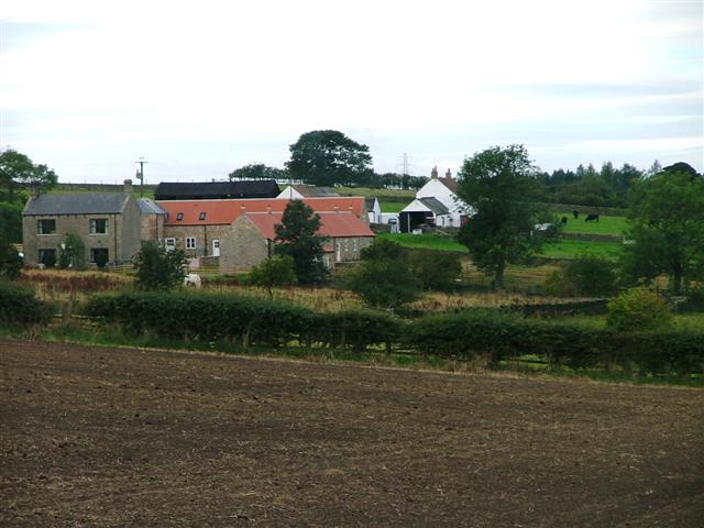
West Broombank Wood is a picturesque woodland located in Durham, England. Covering an area of approximately 30 acres, this serene forest is a popular destination for nature lovers and outdoor enthusiasts. The wood is situated near the village of Witton Gilbert, just a short distance from Durham city center.
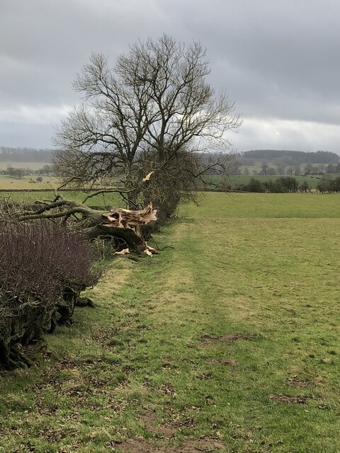
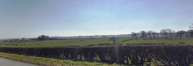
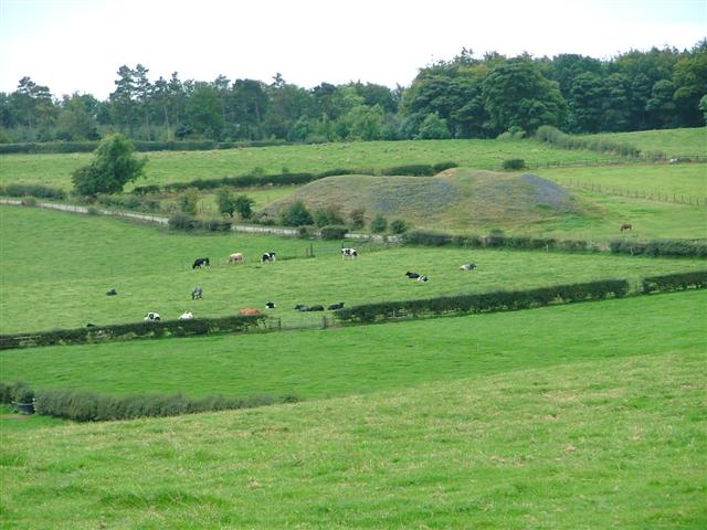
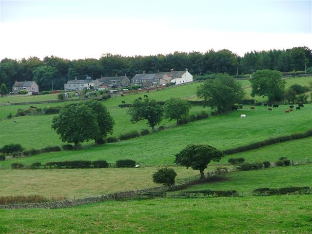
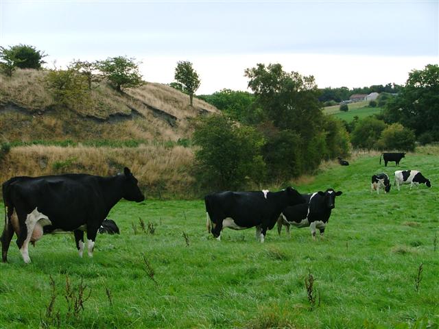
The woodland is primarily composed of broadleaf trees, including oak, ash, and beech, which create a dense and vibrant canopy. These trees provide a diverse habitat for a wide range of wildlife, including birds, insects, and small mammals. Nature enthusiasts can often spot species such as woodpeckers, deer, and squirrels, enhancing the overall experience of exploring the woodland.
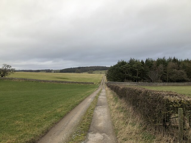
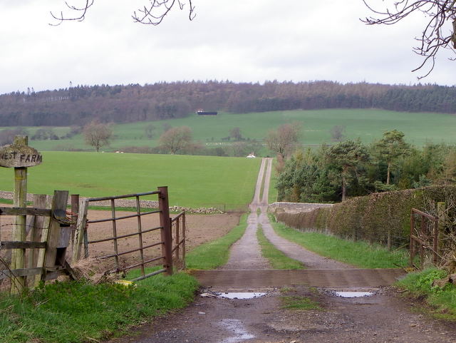
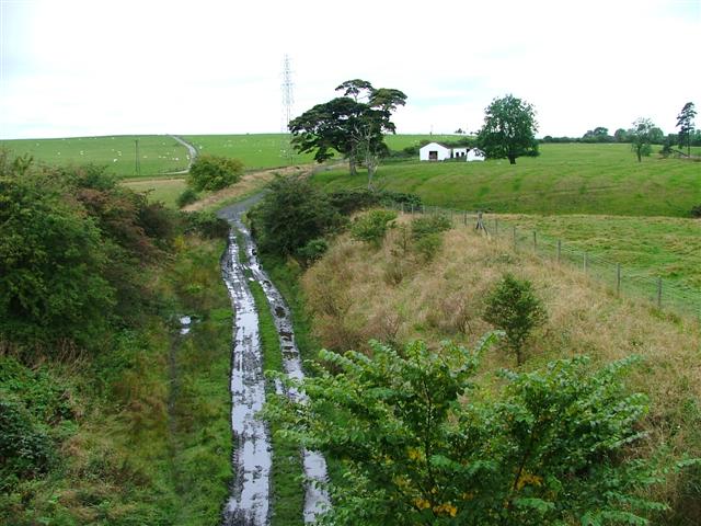
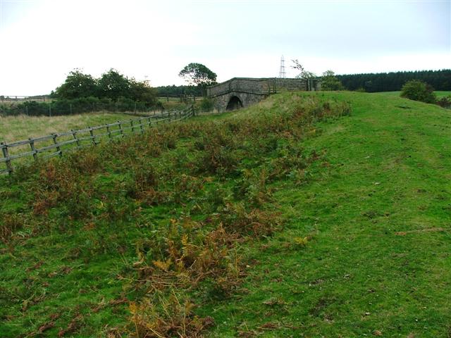
The forest offers a network of well-maintained footpaths, allowing visitors to immerse themselves in the natural beauty of the surroundings. The paths wind through the trees, guiding visitors to discover hidden clearings, babbling brooks, and scenic viewpoints. These trails are suitable for walkers of all abilities, making the wood accessible to people of all ages.
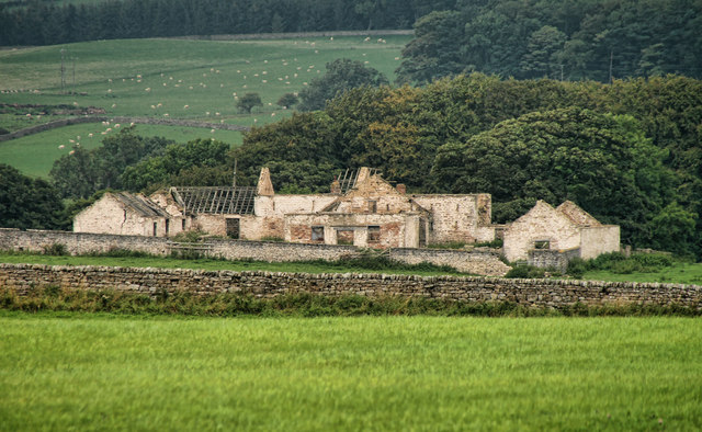
West Broombank Wood also boasts a rich history, with evidence of human activity dating back to the Bronze Age. Archaeological remains, such as earthworks and ancient burial mounds, can be found within the woodland, adding an extra layer of intrigue for history enthusiasts.
Overall, West Broombank Wood offers a tranquil escape from the hustle and bustle of city life, providing an opportunity to reconnect with nature and explore the rich natural and historical heritage of Durham.
If you have any feedback on the listing, please let us know in the comments section below.
West Broombank Wood Images
Images are sourced within 2km of 54.596667/-1.8331215 or Grid Reference NZ1022. Thanks to Geograph Open Source API. All images are credited.
West Broombank Wood is located at Grid Ref: NZ1022 (Lat: 54.596667, Lng: -1.8331215)
Unitary Authority: County Durham
Police Authority: Durham
What 3 Words
///chipper.should.marmalade. Near Cockfield, Co. Durham
Nearby Locations
Related Wikis
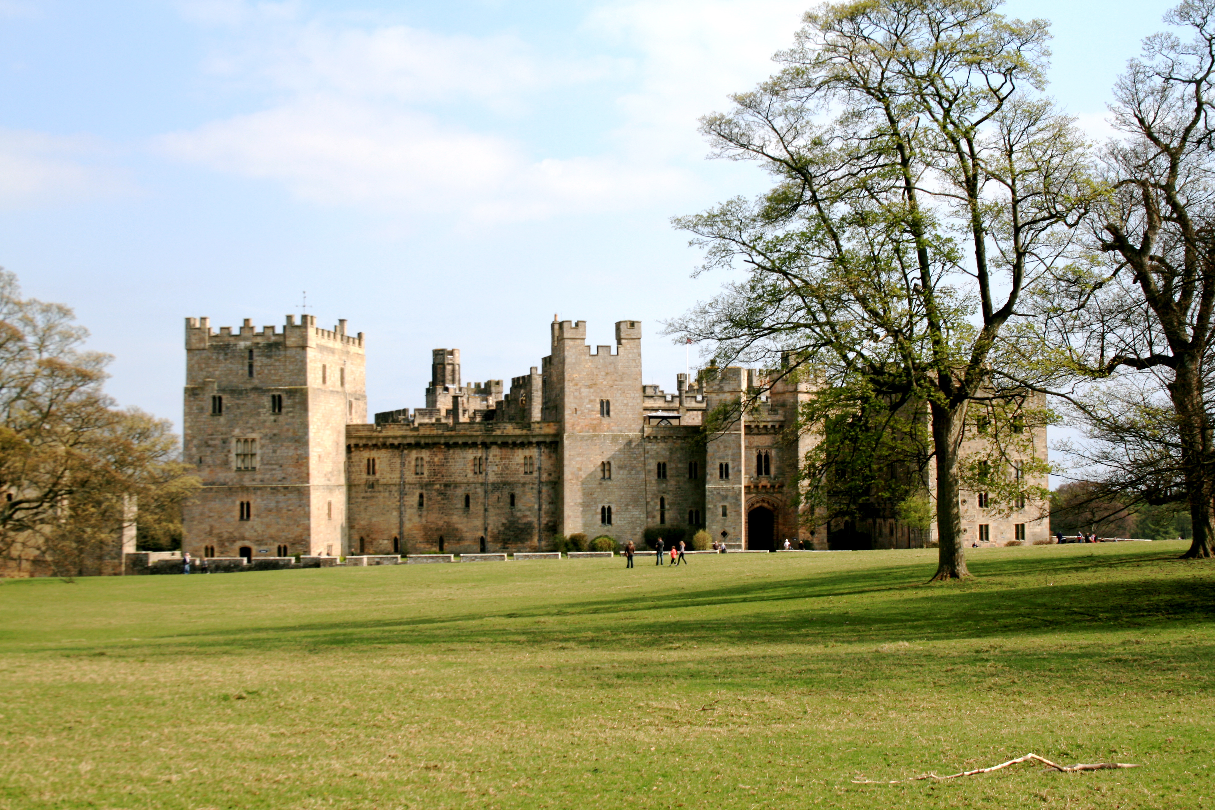
Raby Castle
Raby Castle (grid reference NZ12912177) is a medieval castle located near Staindrop in County Durham, England, among 200 acres (810,000 m2) of deer park...
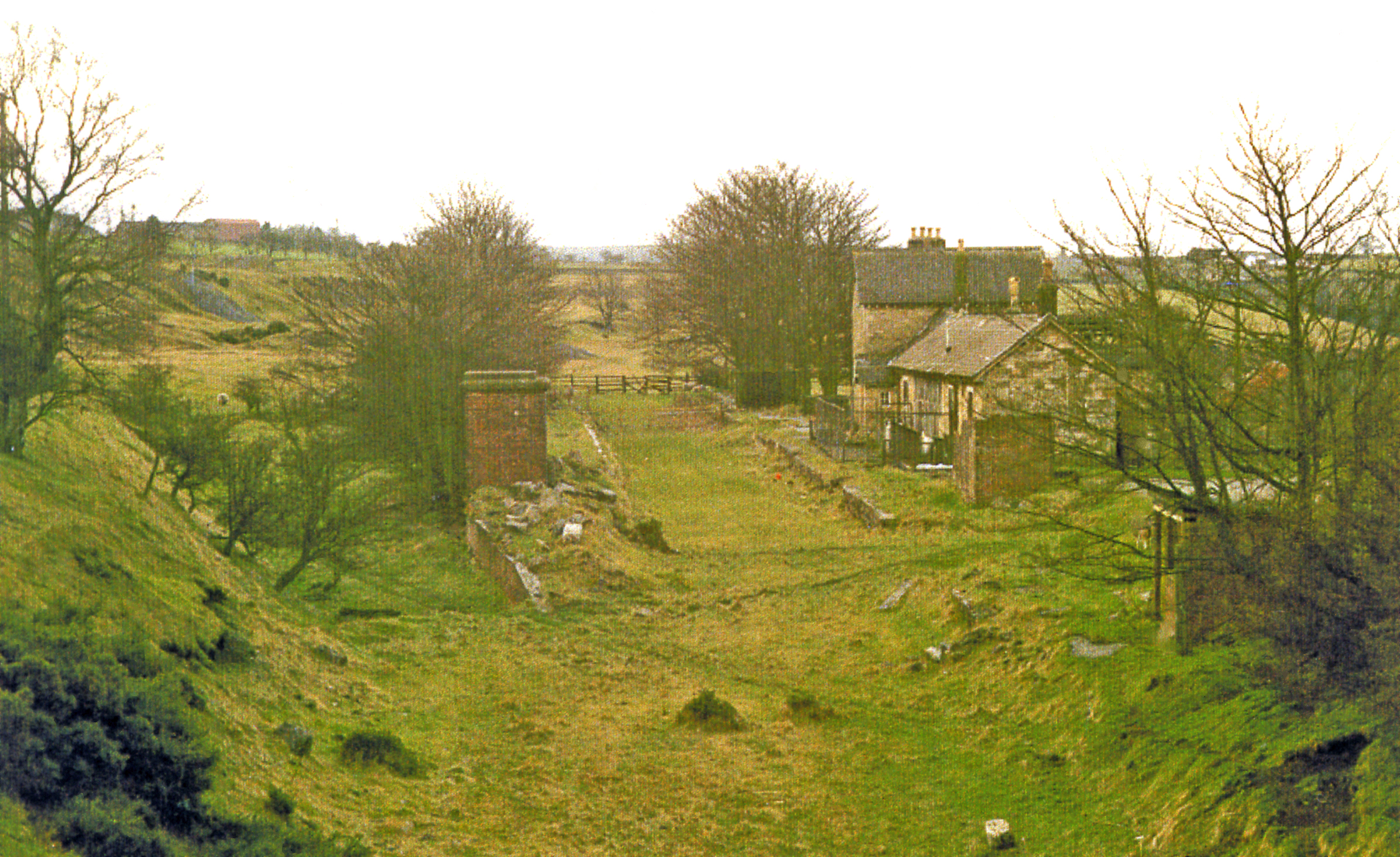
Cockfield Fell railway station
Cockfield Fell railway station was a railway station on the Bishop Auckland to Barnard Castle section of the South Durham and Lancashire Union Railway...

Cockfield, County Durham
Cockfield is a village on the edge of Teesdale, County Durham, England. It is situated 8 miles to the south-west of Bishop Auckland, 15 miles (24 km) north...

Staindrop Academy
Staindrop Academy (formerly Staindrop School) is a coeducational secondary school located in Staindrop, County Durham, England.Previously a community school...

Staindrop
Staindrop is a village and civil parish in County Durham, England. It is situated approximately 6 miles (9.7 km) north east of Barnard Castle, on the A688...
Haggerleases railway station
Haggerleases railway station, also known as Butterknowle railway station, served the village of Butterknowle, County Durham, England, in 1859 on the Haggerleases...
The Slack
The Slack is a village in County Durham, England. It is situated near to Butterknowle, to the west of Bishop Auckland. == References ==
Esperley Lane Ends
Esperley Lane Ends is a village in County Durham, in England. It is situated a few miles to the north west of Darlington, between Cockfield and Evenwood...
Nearby Amenities
Located within 500m of 54.596667,-1.8331215Have you been to West Broombank Wood?
Leave your review of West Broombank Wood below (or comments, questions and feedback).