Henderson's Wood
Wood, Forest in Durham
England
Henderson's Wood
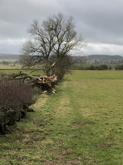
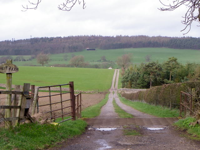
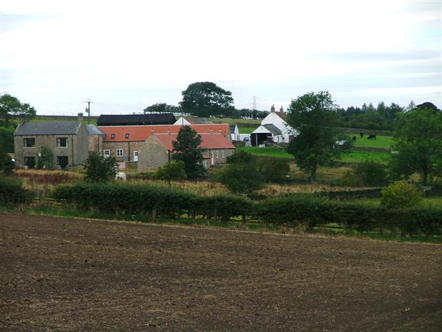
Henderson's Wood, located in Durham, is a captivating forest that offers an immersive natural experience for visitors. Spanning over a vast area, this wood is known for its dense vegetation and diverse wildlife. The wood is named after the Henderson family, who owned the land for several generations before it was gifted to the local community for conservation purposes.
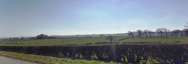
As visitors venture into Henderson's Wood, they are greeted by towering trees that create a serene and peaceful atmosphere. The wood is predominantly composed of deciduous trees, such as oak, beech, and birch, which provide a stunning display of colors during the autumn months. The forest floor is carpeted with a rich assortment of ferns, mosses, and wildflowers, adding to the wood's beauty and ecological significance.
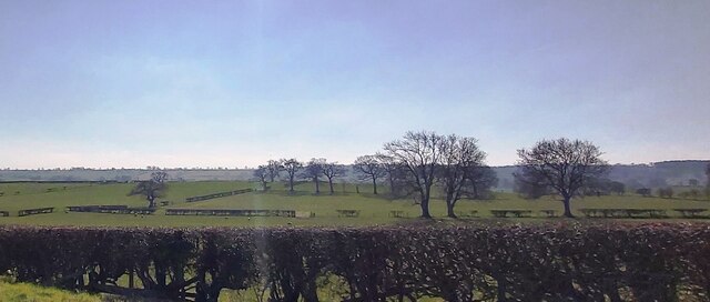
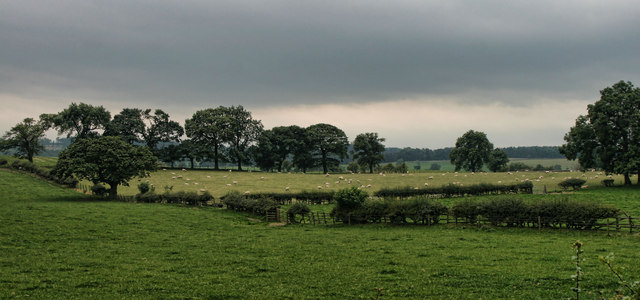
The wood is a haven for wildlife enthusiasts, offering opportunities for birdwatching and animal spotting. The variety of bird species found here is impressive, including woodpeckers, owls, and various songbirds. Additionally, mammals such as foxes, deer, and squirrels can often be observed as they navigate through the undergrowth.
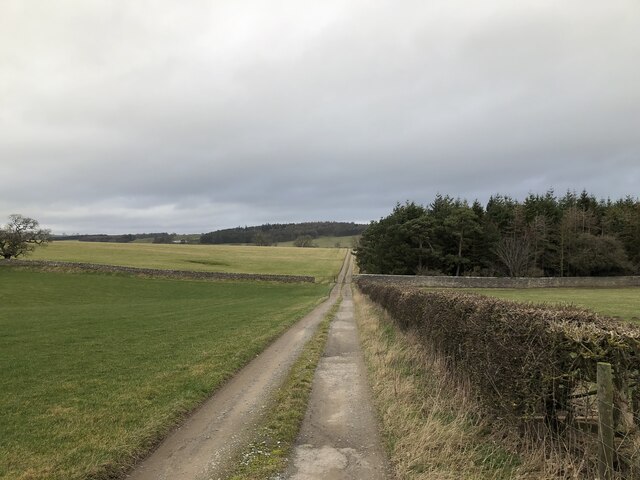
A network of well-maintained trails winds through Henderson's Wood, providing visitors with the chance to explore and appreciate the natural wonders it holds. These paths are suitable for leisurely walks, jogging, or even cycling, making the wood a popular destination for outdoor enthusiasts of all ages. Interpretative signs along the trails educate visitors about the wood's flora and fauna, as well as its historical and cultural significance.
Henderson's Wood is not only a valuable habitat for wildlife but also serves as a tranquil retreat for those seeking solace amidst nature's beauty. Its accessibility and abundant natural features make it a cherished resource for the local community and a must-visit destination for nature lovers in Durham.
If you have any feedback on the listing, please let us know in the comments section below.
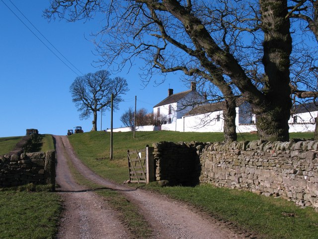
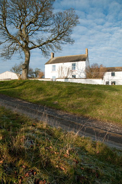
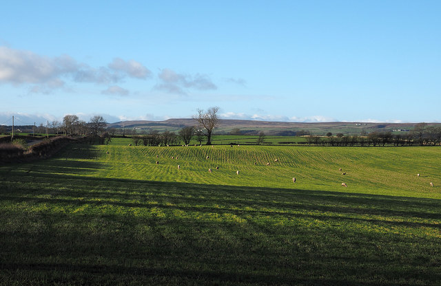
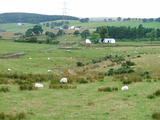
Henderson's Wood Images
Images are sourced within 2km of 54.600261/-1.8463256 or Grid Reference NZ1022. Thanks to Geograph Open Source API. All images are credited.


Henderson's Wood is located at Grid Ref: NZ1022 (Lat: 54.600261, Lng: -1.8463256)
Unitary Authority: County Durham
Police Authority: Durham
What 3 Words
///conjured.feasted.tangent. Near Cockfield, Co. Durham
Nearby Locations
Related Wikis
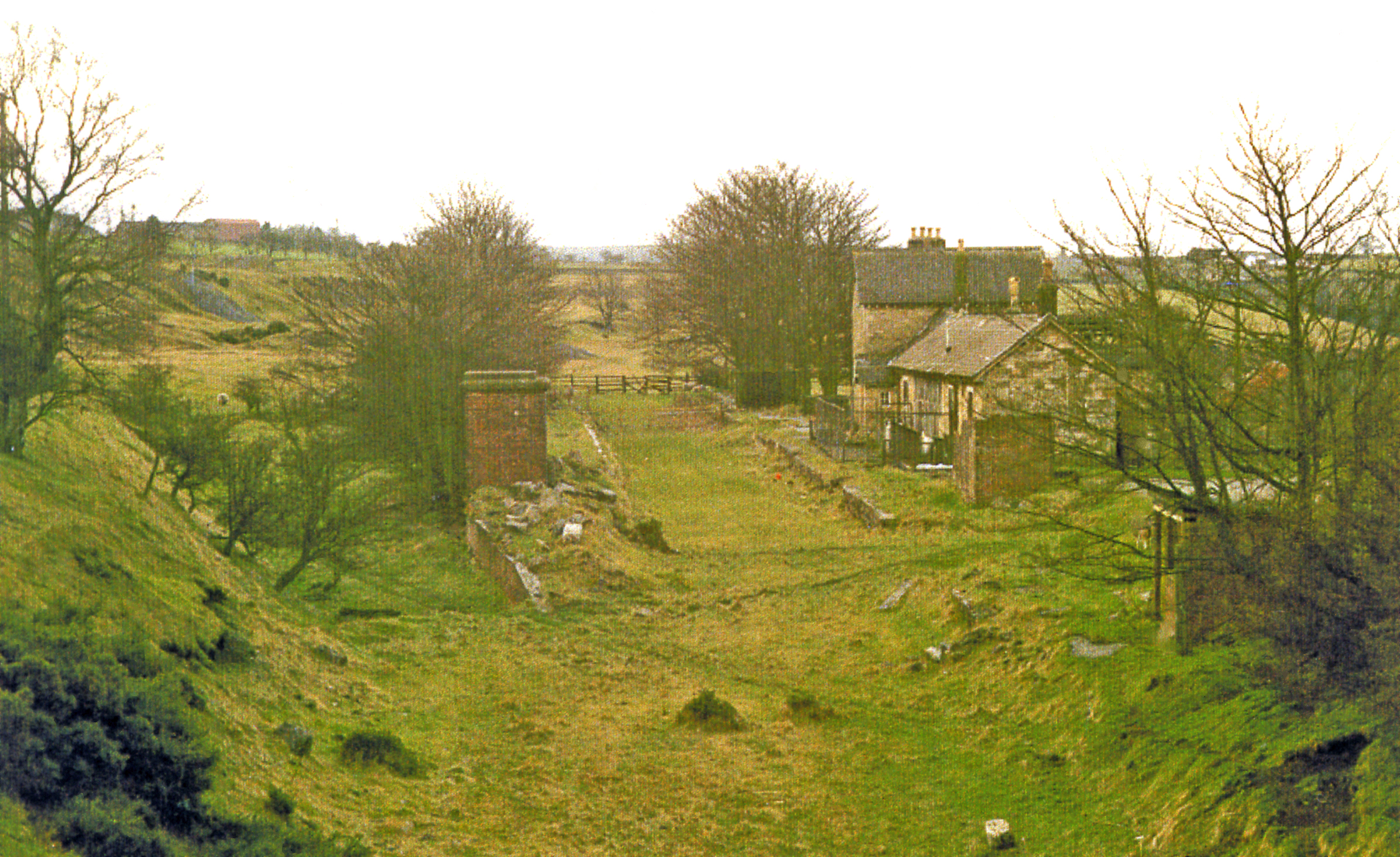
Cockfield Fell railway station
Cockfield Fell railway station was a railway station on the Bishop Auckland to Barnard Castle section of the South Durham and Lancashire Union Railway...
Copley, County Durham
Copley is a village of roughly 400 inhabitants in County Durham, England. It is situated 9 miles west of Bishop Auckland, and 6 miles from Barnard Castle...

Haggerleases railway station
Haggerleases railway station, also known as Butterknowle railway station, served the village of Butterknowle, County Durham, England, in 1859 on the Haggerleases...
The Slack
The Slack is a village in County Durham, England. It is situated near to Butterknowle, to the west of Bishop Auckland. == References ==

Cockfield, County Durham
Cockfield is a village on the edge of Teesdale, County Durham, England. It is situated 8 miles to the south-west of Bishop Auckland, 15 miles (24 km) north...

Butterknowle
Butterknowle is a village in Teesdale, County Durham, England. Butterknowle is situated between the market towns of Bishop Auckland (9 miles to the east...
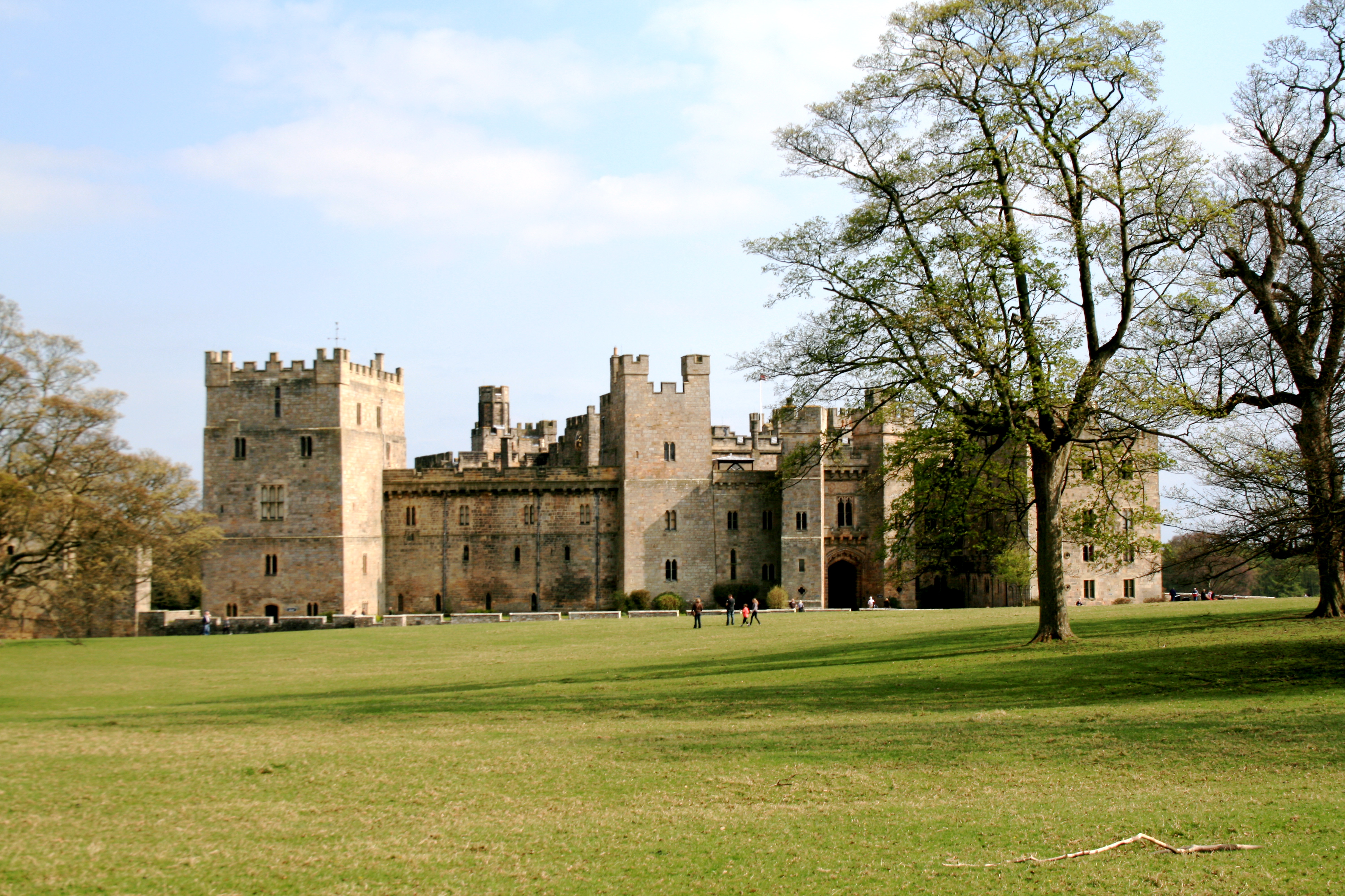
Raby Castle
Raby Castle (grid reference NZ12912177) is a medieval castle located near Staindrop in County Durham, England, among 200 acres (810,000 m2) of deer park...
Morley, County Durham
Morley is a village in County Durham, England. It is situated five miles to the west of Bishop Auckland (OS grid reference NZ 1127). Morley is first mentioned...
Nearby Amenities
Located within 500m of 54.600261,-1.8463256Have you been to Henderson's Wood?
Leave your review of Henderson's Wood below (or comments, questions and feedback).