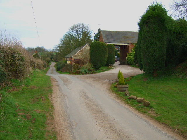
Banks Wood
Wood, Forest in Staffordshire East Staffordshire
England
Banks Wood
Banks Wood is a picturesque woodland located in Staffordshire, England. Covering an area of approximately 100 acres, it is a well-preserved forest that offers visitors a tranquil escape from the hustle and bustle of city life. The wood is managed by the Forestry Commission and is renowned for its diverse range of flora and fauna.
As visitors explore Banks Wood, they will be greeted by a mix of broadleaved and coniferous trees, including oak, birch, and pine. The vibrant colors of the changing seasons make this woodland particularly enchanting, with golden hues in autumn and fresh green foliage in spring. The forest floor is carpeted with a variety of wildflowers, adding to the overall beauty of the surroundings.
The woodland is crisscrossed with a network of well-maintained footpaths, making it an ideal location for walking, hiking, or simply enjoying a leisurely stroll. There are also designated picnic areas where visitors can relax and savor the natural surroundings.
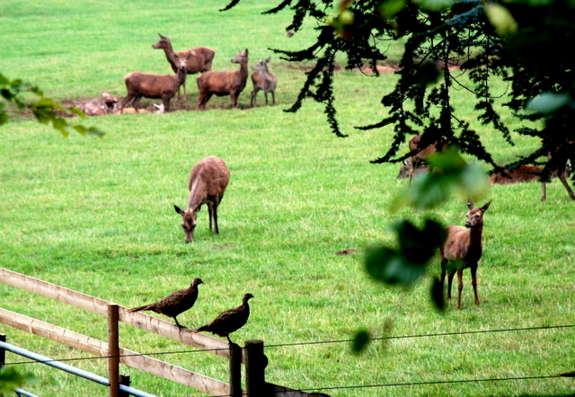
Banks Wood is not only a haven for nature enthusiasts but also a sanctuary for wildlife. The forest provides a habitat for a range of species, including deer, foxes, badgers, and numerous bird species. Birdwatchers can spot woodpeckers, owls, and a variety of songbirds throughout the year.
Overall, Banks Wood is a captivating destination that allows visitors to immerse themselves in the beauty of nature. Whether it is a peaceful walk, a picnic with loved ones, or a chance to observe wildlife, this woodland provides a serene and unforgettable experience for all who venture within its borders.
If you have any feedback on the listing, please let us know in the comments section below.
Banks Wood Images
Images are sourced within 2km of 52.998811/-1.8520169 or Grid Reference SK1044. Thanks to Geograph Open Source API. All images are credited.


Banks Wood is located at Grid Ref: SK1044 (Lat: 52.998811, Lng: -1.8520169)
Administrative County: Staffordshire
District: East Staffordshire
Police Authority: Staffordshire
What 3 Words
///enforced.gaps.meaty. Near Mayfield, Staffordshire
Nearby Locations
Related Wikis

Wootton, Staffordshire
Wootton is a village and civil parish in Staffordshire, England. The village is situated approximately 20 miles (30 km) east from Stoke-on-Trent and 20...
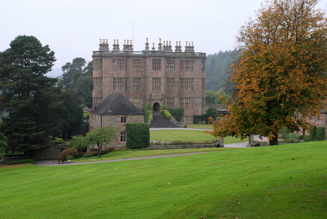
Wootton Lodge
Wootton Lodge is a privately owned 17th-century country house situated at Wootton near Ellastone, Staffordshire, England. It is a Grade I listed building...

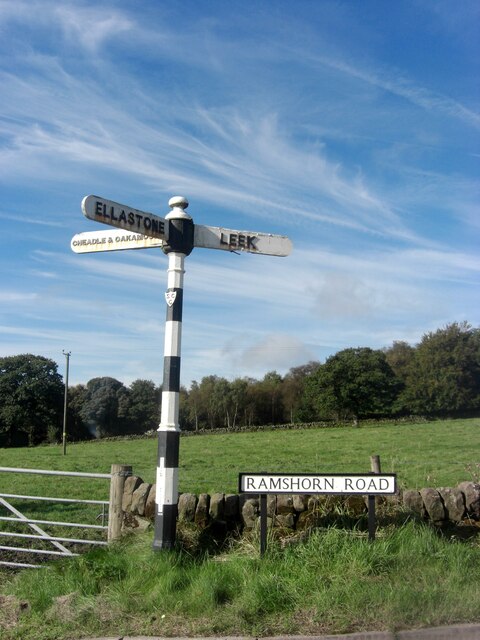
Ramshorn
The tiny hamlet of Ramsor (Methodist spelling) in North Staffordshire played a significant part in the origins of Primitive Methodism. Listed in the Domesday...
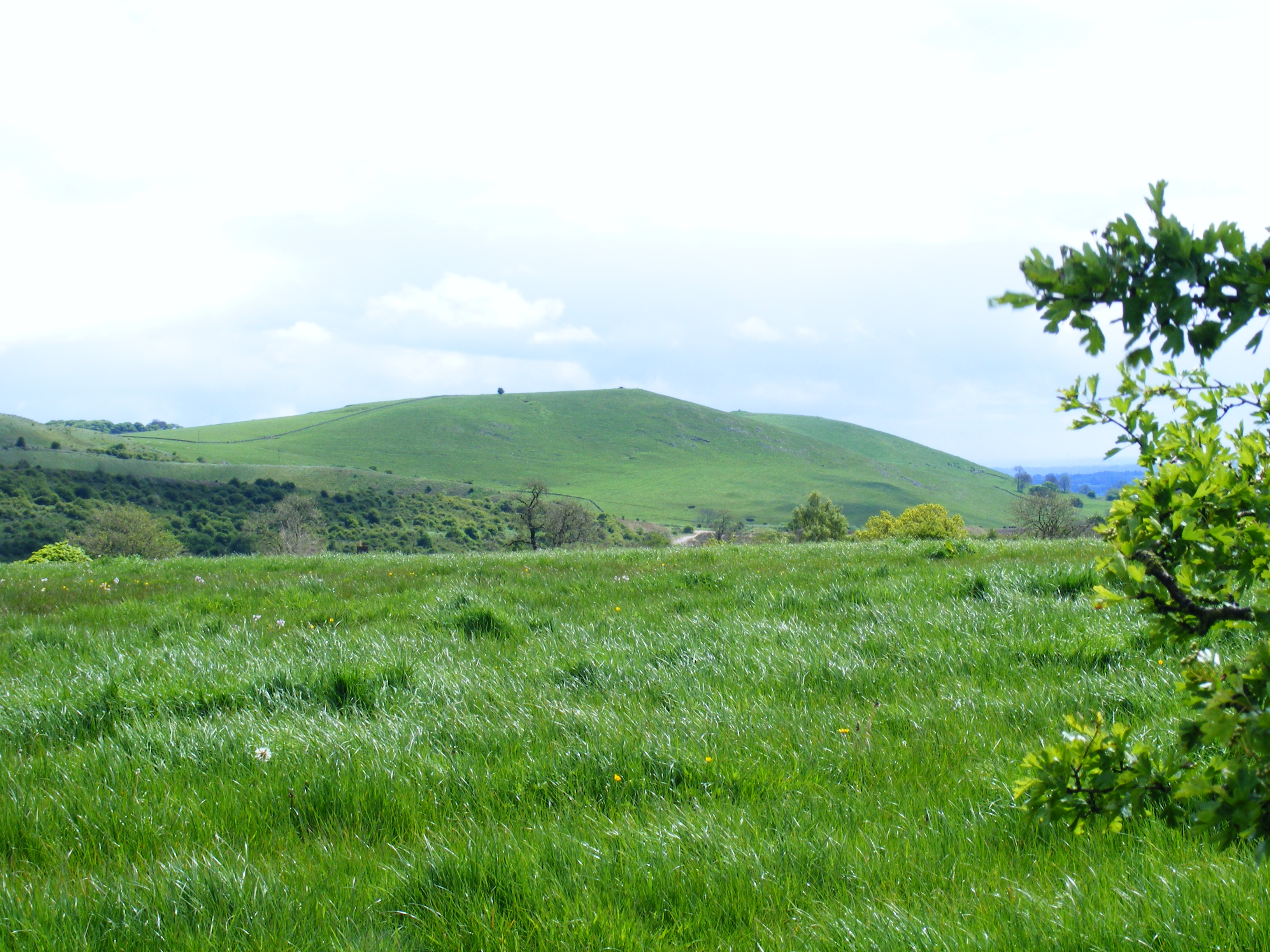
Weaver Hills
The Weaver Hills are a small range of hills in north east Staffordshire, England.The Weaver Hills are about 15 miles (24 km) east of Stoke-on-Trent and...
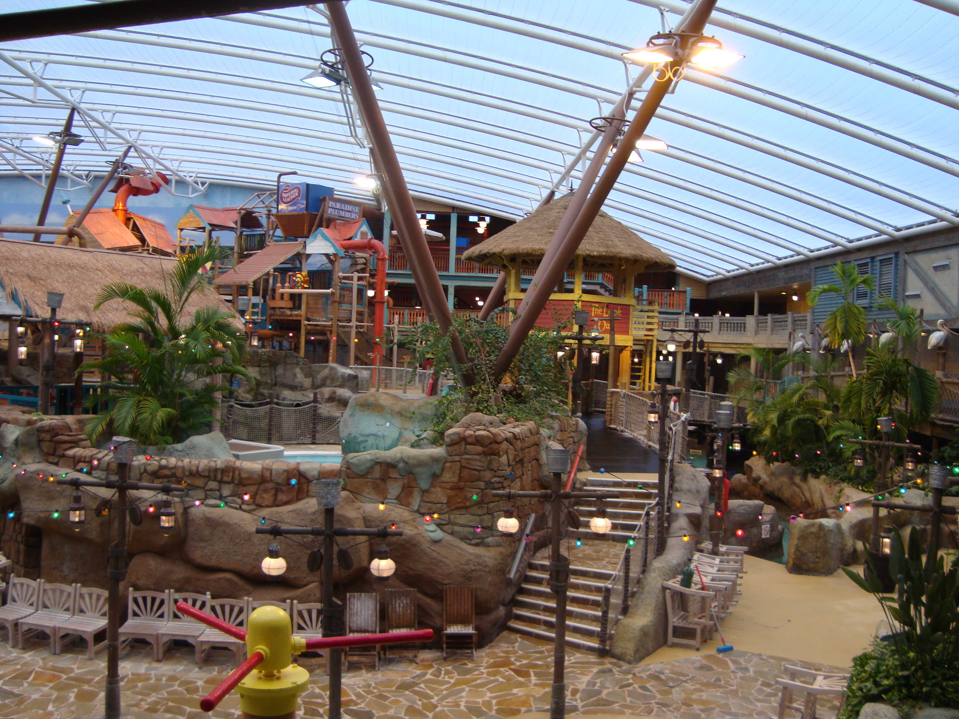
Alton Towers Waterpark
Alton Towers Waterpark, previously known as Cariba Creek, is a water park at Alton Towers Resort, in Staffordshire, England. It is themed to a tropical...
Ellastone
Ellastone is a village in the East Staffordshire borough of Staffordshire, in the West Midlands of England. It is on the Staffordshire side of the River...
Prestwood, East Staffordshire
Prestwood is a hamlet and former civil parish, now in the parish of Denstone, in the East Staffordshire district, in the county of Staffordshire, England...
Doom & Sons
Doom & Sons was a former attraction in the Talbot Street area of Alton Towers theme park, Staffordshire, England. The attraction was opened in 1981 and...
Nearby Amenities
Located within 500m of 52.998811,-1.8520169Have you been to Banks Wood?
Leave your review of Banks Wood below (or comments, questions and feedback).