Byerleyhouse Wood

Wood, Forest in Durham

England

Byerleyhouse Wood

The road from Salter's Gate to Satley
The road from Salter's Gate to Satley Credit: Oliver Dixon

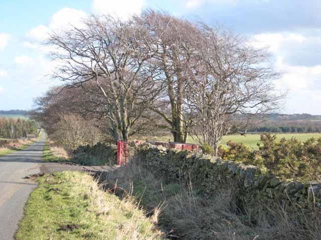
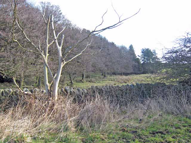
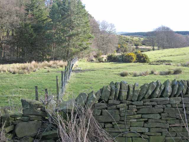
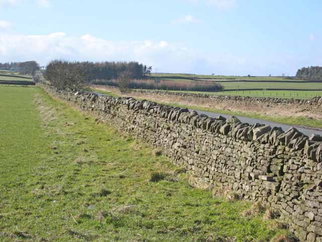
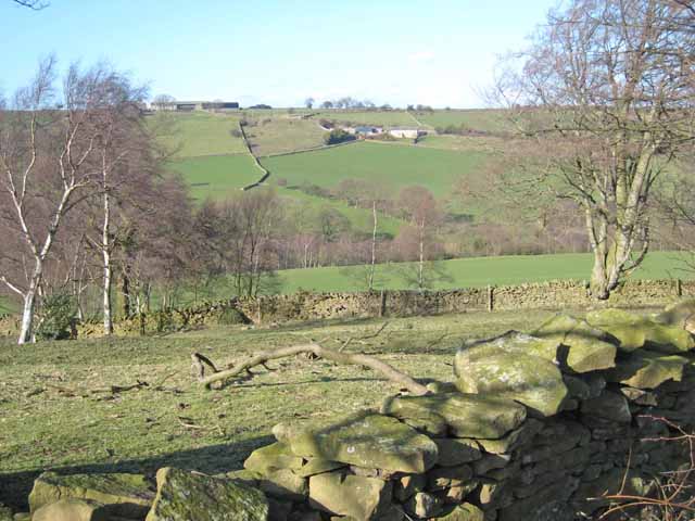
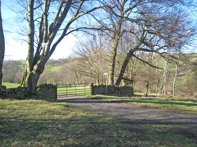
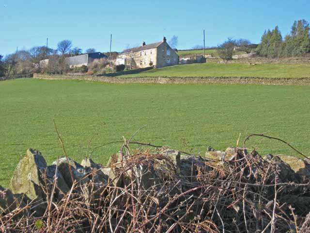
Byerleyhouse Wood is a charming woodland located in County Durham, North East England. This picturesque forest spans an area of approximately 50 acres and is a popular destination for nature lovers and outdoor enthusiasts alike.

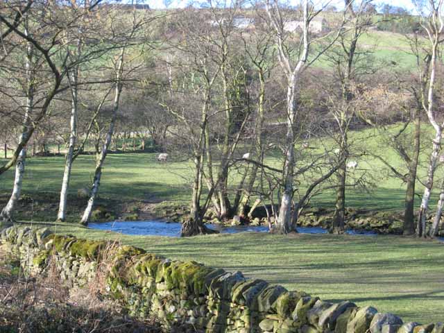
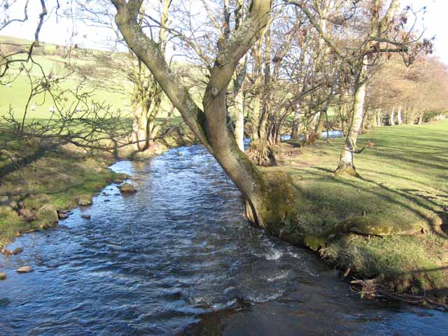
The wood is characterized by its diverse range of tree species, including oak, beech, and birch, which create a lush and vibrant canopy overhead. The forest floor is covered with a carpet of wildflowers, providing a beautiful and tranquil setting for visitors to explore and enjoy.

Byerleyhouse Wood is home to a variety of wildlife, making it a haven for nature enthusiasts. Birdwatchers can spot a wide range of avian species, including woodpeckers, owls, and various songbirds. Squirrels can be seen scurrying among the trees, and if lucky, visitors might catch a glimpse of a shy deer or fox.

The wood offers a network of well-maintained trails and paths, making it ideal for walking, jogging, and cycling. There are also designated picnic areas where visitors can relax and enjoy a meal amidst the peaceful surroundings.

Throughout the seasons, Byerleyhouse Wood offers a different experience. In spring, the forest comes alive with the vibrant colors of flowers and leaves. Summer brings a lush and verdant atmosphere, while autumn transforms the wood into a golden paradise with its stunning foliage. Even in winter, the wood retains its charm, with frost-covered branches and a peaceful stillness.

Byerleyhouse Wood is a true gem in the Durham countryside, offering a sanctuary of natural beauty and tranquility for all who visit.

If you have any feedback on the listing, please let us know in the comments section below.

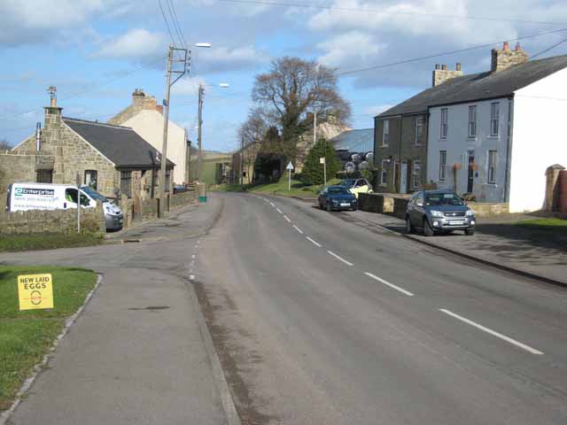
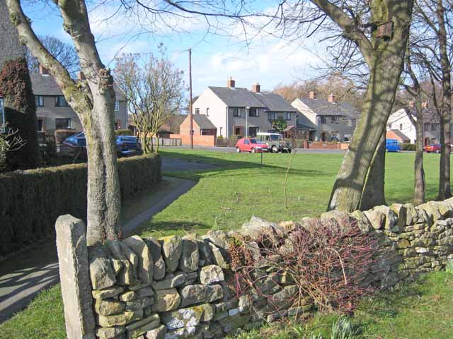
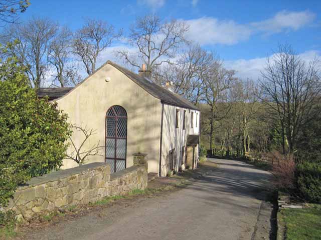
Byerleyhouse Wood Images

Images are sourced within 2km of 54.794614/-1.8323084 or Grid Reference NZ1044. Thanks to Geograph Open Source API. All images are credited.

The road from Salter's Gate to Satley
Byerley House
Byerley House
West Butsfield
West Butsfield
West Butsfield
West Butsfield
Valley at the head of the Rippon Burn Next to Broadmeadows.
Valley at the head of the Rippon Burn
Next to Broadmeadows.
Valley at the head of the Rippon Burn Next to Broadmeadows.
Valley at the head of the Rippon Burn
Next to Broadmeadows.
Trailers by the roadside West Butsfield <a href="https://www.geograph.org.uk/gridref/NZ1044">NZ1044</a> in the distance.
Trailers by the roadside
West Butsfield NZ1044 in the distance.
Droverhouse Lane Seen from the Satley end. Typical of the network of straight roads in this corner of County Durham.
Droverhouse Lane
Seen from the Satley end. Typical of the network of straight roads in this corner of County Durham.
Satley A remote village in western County Durham. <span class="nowrap"><a title="http://www.durham-pa.gov.uk/durhamcc/K2P.nsf/K2PDetail?readform&PRN=D6873" rel="nofollow ugc noopener" href="http://www.durham-pa.gov.uk/durhamcc/K2P.nsf/K2PDetail?readform&PRN=D6873">Link</a><img style="margin-left:2px;" alt="External link" title="External link - shift click to open in new window" src="https://s1.geograph.org.uk/img/external.png" width="10" height="10"/></span>
Satley
A remote village in western County Durham. LinkExternal link
Satley Modern housing is concentrated at the top end of the village.
Satley
Modern housing is concentrated at the top end of the village.
House near Satley Presumably a converted chapel. In the valley of the Steeley Burn, just below Satley.
House near Satley
Presumably a converted chapel. In the valley of the Steeley Burn, just below Satley.
Browney valley Looking north across the valley to Sunny Brow Cottage on the hillside and East Butsfield on the skyline <a href="https://www.geograph.org.uk/gridref/NZ1145">NZ1145</a>.
Browney valley
Looking north across the valley to Sunny Brow Cottage on the hillside and East Butsfield on the skyline NZ1145.
Beech trees in winter In the floor of the Browney valley.
Beech trees in winter
In the floor of the Browney valley.
The River Browney Sunny Brow Cottage <a href="https://www.geograph.org.uk/gridref/NZ1145">NZ1145</a> can be seen through the trees.
The River Browney
Sunny Brow Cottage NZ1145 can be seen through the trees.
The River Browney The tree-lined watercourse of the upper River Browney, near East Butsfield, looking downstream.
The River Browney
The tree-lined watercourse of the upper River Browney, near East Butsfield, looking downstream.
Sunny Brow Cottage Aptly named. On a steep south-facing bank overlooking the infant River Browney.
Sunny Brow Cottage
Aptly named. On a steep south-facing bank overlooking the infant River Browney.
East Butsfield
East Butsfield
Trees by the roadside at Satley By the B6296 Wolsingham to Lanchester road. Overlooking the valley of the Steeley Burn.
Trees by the roadside at Satley
By the B6296 Wolsingham to Lanchester road. Overlooking the valley of the Steeley Burn.
Show me another place!

Byerleyhouse Wood is located at Grid Ref: NZ1044 (Lat: 54.794614, Lng: -1.8323084)

Unitary Authority: County Durham

Police Authority: Durham

What 3 Words

///submerged.cookery.evaded. Near Castleside, Co. Durham

Related Wikis

Butsfield

Butsfield is a village in County Durham, England. It is situated a few miles to the south of Consett, near the village of Satley. Butsfield Burn Farm is...

Satley

Satley is a village and civil parish in County Durham, England, with a population of 292 in 2001, falling to 282 at the 2011 Census. It is situated six...

Hall Hill Farm

Hall Hill Farm is a tourist attraction located in County Durham, near Tow Law, England. == History == Ann Darlington is the current tourism manager at...

Murder of Harry Collinson

The murder of Harry Collinson, the planning officer for Derwentside District Council, occurred on 20 June 1991 at Butsfield, County Durham, England. At...

Nearby Amenities

Located within 500m of 54.794614,-1.8323084
Butsfield Burn
Place: isolated_dwelling
Source Name: OS OpenData StreetView
Lat/Long: 54.7966958/-1.8308491
Power: pole
Lat/Long: 54.7935607/-1.8258213
Power: pole
Lat/Long: 54.7945573/-1.8265548
Power: pole
Lat/Long: 54.7955639/-1.8273206
Power: pole
Lat/Long: 54.7965636/-1.8280394
Power: pole
Lat/Long: 54.7970537/-1.8297078
Power: pole
Lat/Long: 54.7975647/-1.8314619
Power: pole
Lat/Long: 54.7982257/-1.835095
Power: pole
Lat/Long: 54.7980665/-1.8331826
The data included in this document is from www.openstreetmap.org. The data is made available under ODbL.

Have you been to Byerleyhouse Wood?

Leave your review of Byerleyhouse Wood below (or comments, questions and feedback).