Butsfield, West

Settlement in Durham

England

Butsfield, West

Byerley House
Byerley House Credit: Oliver Dixon

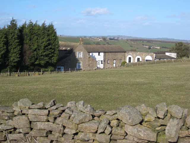
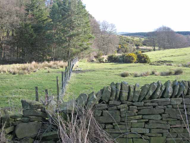
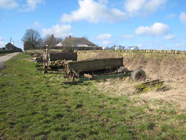
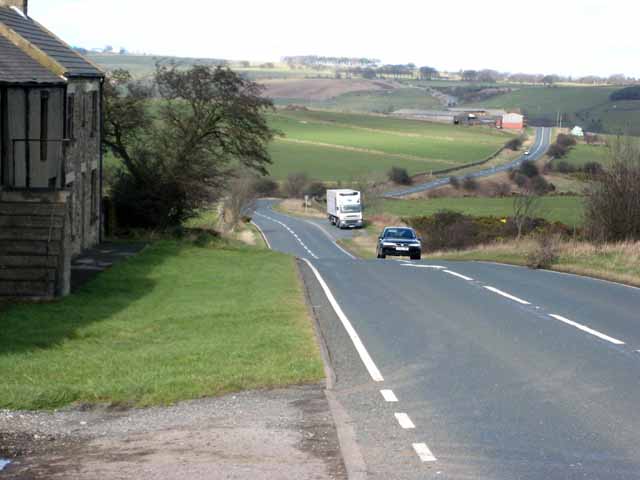
Butsfield is a small village located in the West Durham district of County Durham, England. Situated approximately 10 miles southwest of the city of Durham, Butsfield is surrounded by picturesque countryside and offers a tranquil setting for its residents.

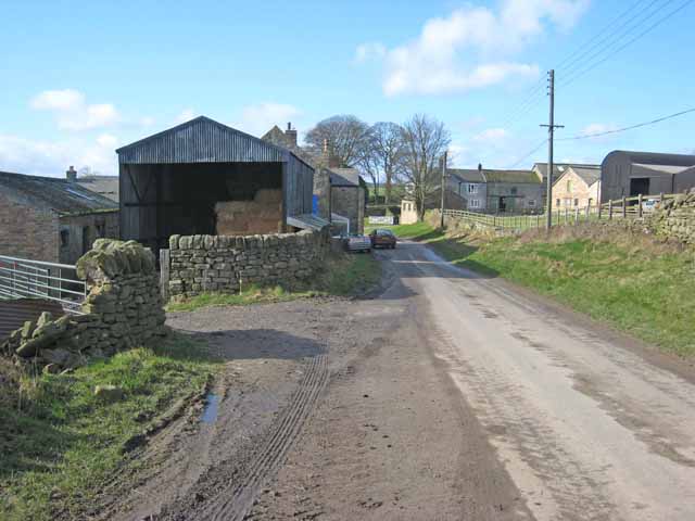
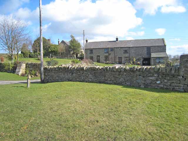
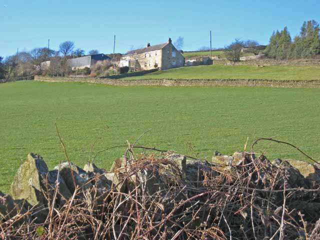
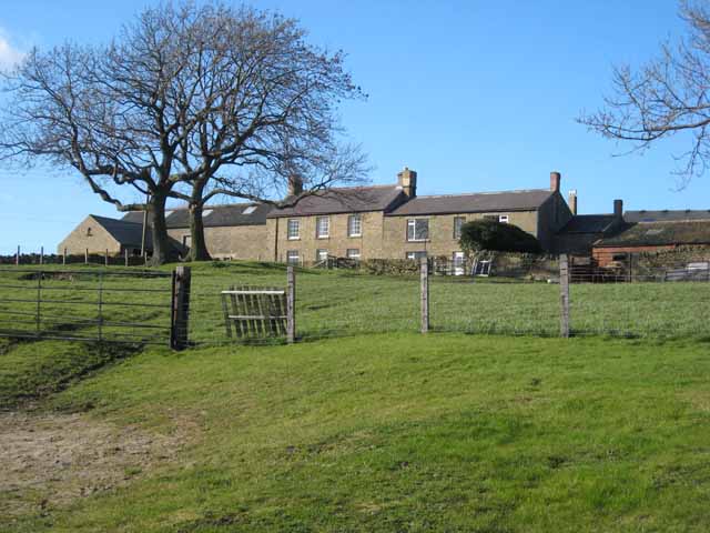
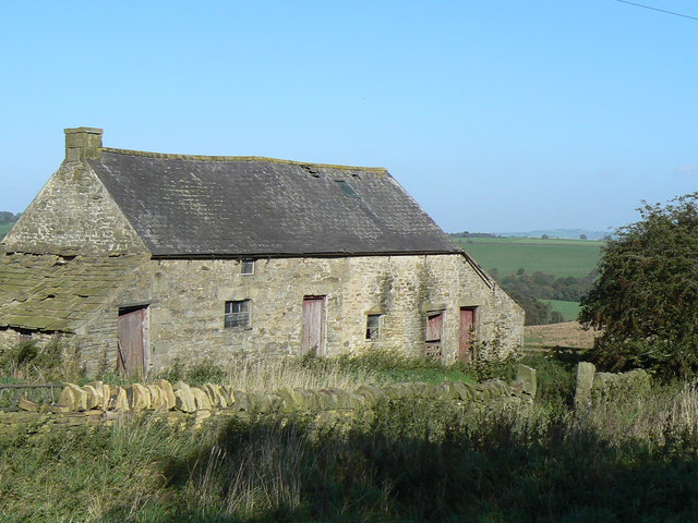
The village is known for its charming stone houses and cottages, which are predominantly made from locally sourced materials. The architecture in Butsfield reflects its historical roots, with some buildings dating back to the 18th century. This gives the village a traditional and timeless feel.

Butsfield is home to a close-knit community, with a population of around 300 residents. The village has a strong sense of community spirit, and various social events and activities are organized throughout the year. These events often take place at the village hall, which serves as a hub for community gatherings.

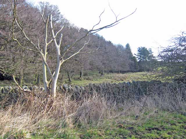
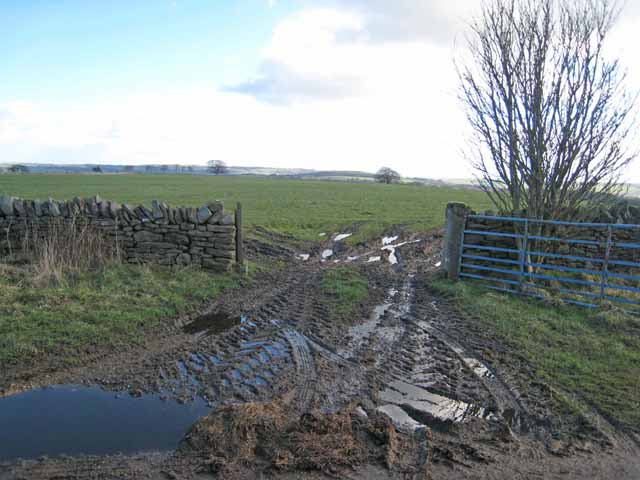
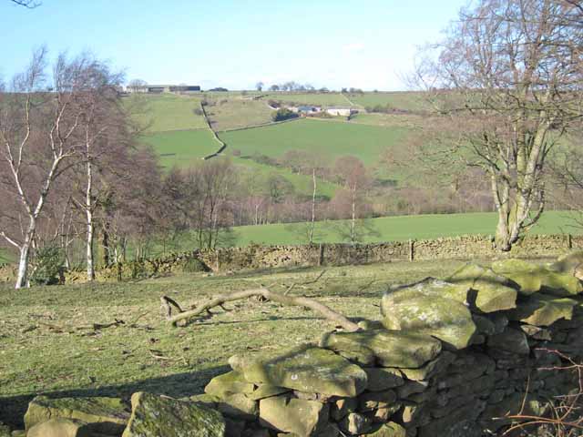
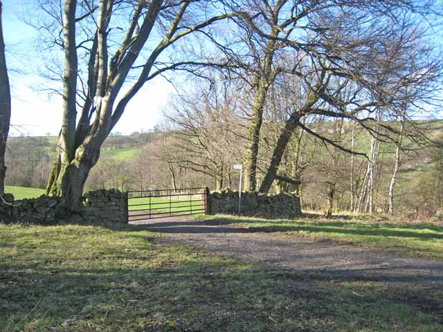
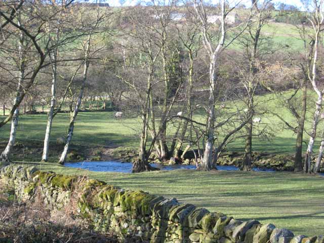
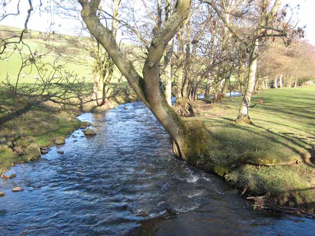
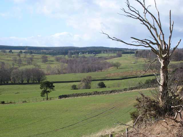
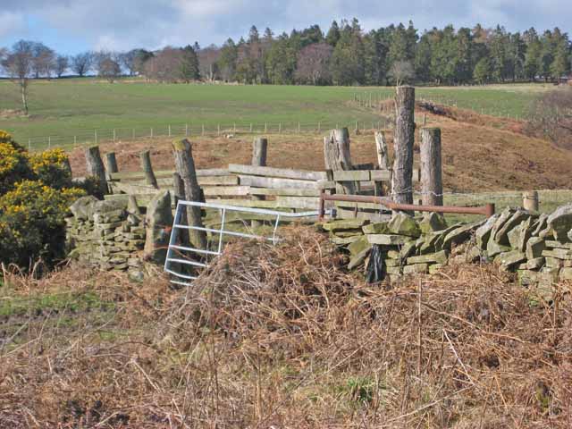
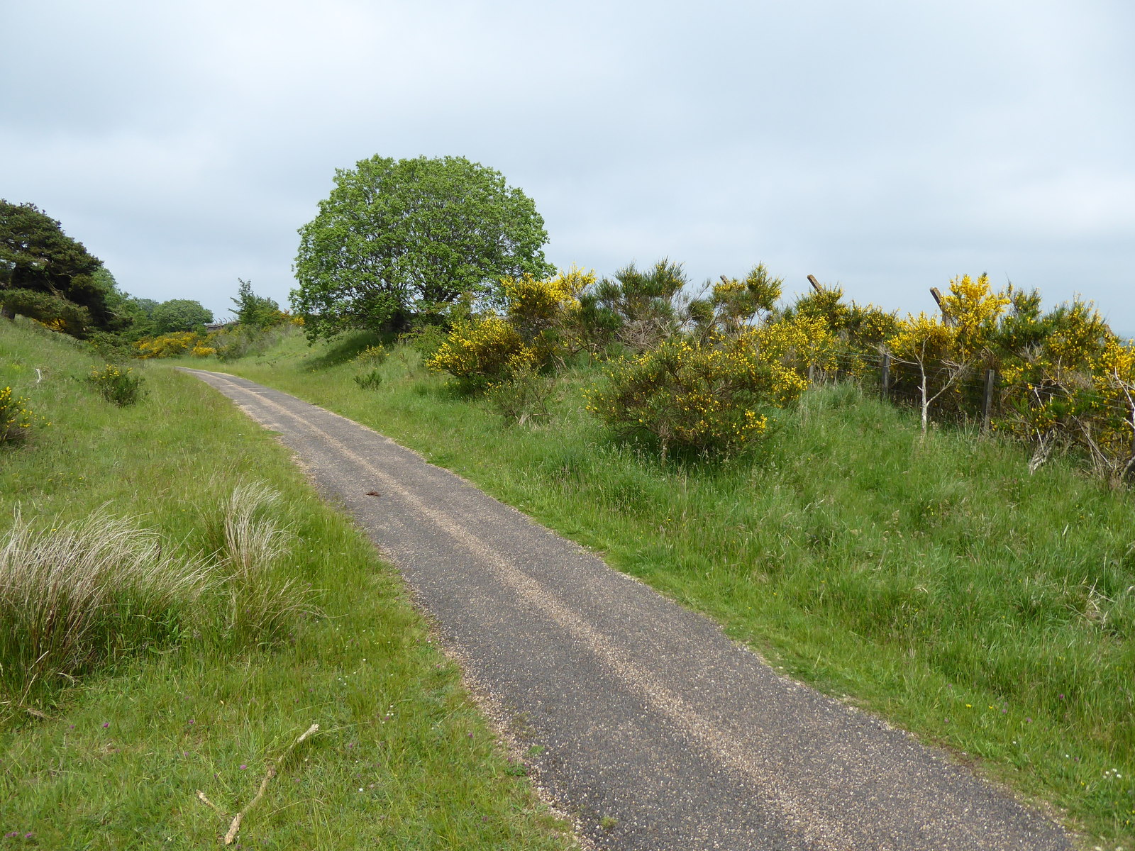
The surrounding countryside offers opportunities for outdoor activities, such as walking, hiking, and cycling. The beautiful landscape is dotted with rolling hills, meandering streams, and lush greenery, making it an ideal location for nature enthusiasts.

Although Butsfield is a small village, it benefits from its proximity to larger towns and cities. The city of Durham is easily accessible, providing residents with access to a range of amenities, including shops, restaurants, and entertainment options.

In conclusion, Butsfield is a charming village in West Durham, offering a peaceful and picturesque setting for its residents. With its historical architecture, strong community spirit, and beautiful countryside, Butsfield provides a delightful place to call home.

If you have any feedback on the listing, please let us know in the comments section below.

Butsfield, West Images

Images are sourced within 2km of 54.799007/-1.8443606 or Grid Reference NZ1044. Thanks to Geograph Open Source API. All images are credited.

Byerley House
Byerley House
West Butsfield
West Butsfield
West Butsfield
West Butsfield
Valley at the head of the Rippon Burn Next to Broadmeadows.
Valley at the head of the Rippon Burn
Next to Broadmeadows.
Valley at the head of the Rippon Burn Next to Broadmeadows.
Valley at the head of the Rippon Burn
Next to Broadmeadows.
Trailers by the roadside West Butsfield <a href="https://www.geograph.org.uk/gridref/NZ1044">NZ1044</a> in the distance.
Trailers by the roadside
West Butsfield NZ1044 in the distance.
Chapel View Green Burial Services It is not entirely clear what this premises is. There appears to be a chapel-of-rest under construction or reconstruction. The plot is either a country cemetery or the base from which green burials are carried out at other sites.
Chapel View Green Burial Services
It is not entirely clear what this premises is. There appears to be a chapel-of-rest under construction or reconstruction. The plot is either a country cemetery or the base from which green burials are carried out at other sites.
Muddy gateway Miller's Hill Lane, Rowley.
Muddy gateway
Miller's Hill Lane, Rowley.
Browney valley Looking north across the valley to Sunny Brow Cottage on the hillside and East Butsfield on the skyline <a href="https://www.geograph.org.uk/gridref/NZ1145">NZ1145</a>.
Browney valley
Looking north across the valley to Sunny Brow Cottage on the hillside and East Butsfield on the skyline NZ1145.
Beech trees in winter In the floor of the Browney valley.
Beech trees in winter
In the floor of the Browney valley.
The River Browney Sunny Brow Cottage <a href="https://www.geograph.org.uk/gridref/NZ1145">NZ1145</a> can be seen through the trees.
The River Browney
Sunny Brow Cottage NZ1145 can be seen through the trees.
The River Browney The tree-lined watercourse of the upper River Browney, near East Butsfield, looking downstream.
The River Browney
The tree-lined watercourse of the upper River Browney, near East Butsfield, looking downstream.
Sunny Brow Cottage Aptly named. On a steep south-facing bank overlooking the infant River Browney.
Sunny Brow Cottage
Aptly named. On a steep south-facing bank overlooking the infant River Browney.
East Butsfield
East Butsfield
Old farm building Building a little to the north of Springwell Farm.
Old farm building
Building a little to the north of Springwell Farm.
Head of the Browney valley Greenfield Farm <a href="https://www.geograph.org.uk/photo/357627">NZ0744 : Greenfield Farm</a> can be seen in the distance.
Head of the Browney valley
Greenfield Farm NZ0744 : Greenfield Farm can be seen in the distance.
Wall and stockade Above the valley of the Black Burn.
Wall and stockade
Above the valley of the Black Burn.
A68 at Low Hermitage Farm The A68 is a dramatic main road which runs from Darlington via Corbridge and the Scottish Border at Carter Bar as far as Dalkeith on the outskirts of Edinburgh. It is a high level route, with many long straight switchback sections across deep valleys.
<span class="nowrap"><a title="http://www.sabre-roads.org.uk/roadlists/f99/68.shtml" rel="nofollow ugc noopener" href="http://www.sabre-roads.org.uk/roadlists/f99/68.shtml">Link</a><img style="margin-left:2px;" alt="External link" title="External link - shift click to open in new window" src="https://s1.geograph.org.uk/img/external.png" width="10" height="10"/></span>
A68 at Low Hermitage Farm
The A68 is a dramatic main road which runs from Darlington via Corbridge and the Scottish Border at Carter Bar as far as Dalkeith on the outskirts of Edinburgh. It is a high level route, with many long straight switchback sections across deep valleys. LinkExternal link
Show me another place!

Butsfield, West is located at Grid Ref: NZ1044 (Lat: 54.799007, Lng: -1.8443606)

Unitary Authority: County Durham

Police Authority: Durham

What 3 Words

///wells.clinic.homecare. Near Castleside, Co. Durham

Related Wikis

Murder of Harry Collinson

The murder of Harry Collinson, the planning officer for Derwentside District Council, occurred on 20 June 1991 at Butsfield, County Durham, England. At...

Butsfield

Butsfield is a village in County Durham, England. It is situated a few miles to the south of Consett, near the village of Satley. Butsfield Burn Farm is...

Satley

Satley is a village and civil parish in County Durham, England, with a population of 292 in 2001, falling to 282 at the 2011 Census. It is situated six...

Hall Hill Farm

Hall Hill Farm is a tourist attraction located in County Durham, near Tow Law, England. == History == Ann Darlington is the current tourism manager at...

Rowley railway station (England)

Rowley railway station served the hamlet of Rowley and the village of Castleside in County Durham, England from 1845 to 1966 on the Derwent Railway....

Horsleyhope

Horsleyhope is a village in County Durham, England. It is situated a few miles to the south-west of Consett. == References ==

Burnhill railway station

Burnhill railway station served the village of Waskerley, County Durham, England, from 1859 to 1939 on the Stanhope and Tyne Railway. == History == The...

West Durham Wind Farm

West Durham Wind Farm is a wind farm near Tow Law, County Durham, England. == History == Developed by County Durham-based company the Banks Group, the...

Nearby Amenities

Located within 500m of 54.799007,-1.8443606
West Butsfield
Place: hamlet
Source: npe
Lat/Long: 54.7990466/-1.8432857
Bus Stop
West Butsfield
Naptan AtcoCode: 13001832C
Naptan Bearing: E
Naptan CommonName: West Butsfield
Naptan Indicator: east bound
Naptan Landmark: Landmark not known
Naptan NaptanCode: durajtdt
Naptan Notes: Glebe Farm- Butfield Lane- West Butsfield- Satley
Naptan Street: Butsfield Lane
Naptan Verified: no
Source: naptan_import
Lat/Long: 54.7995759/-1.8431722
Bus Stop
West Butsfield
Naptan AtcoCode: 13001832G
Naptan Bearing: W
Naptan CommonName: West Butsfield
Naptan Indicator: west bound
Naptan Landmark: Landmark not known
Naptan NaptanCode: durajtdw
Naptan Notes: Glebe Farm- Butfield Lane- West Butsfield- Satley
Naptan Street: Butsfield Lane
Naptan Verified: no
Source: naptan_import
Lat/Long: 54.7995219/-1.8431568
Power: pole
Lat/Long: 54.798981/-1.8438732
Power: pole
Lat/Long: 54.7989006/-1.8430102
Power: pole
Lat/Long: 54.7987217/-1.8409677
Power: pole
Lat/Long: 54.7986448/-1.8399283
Power: pole
Lat/Long: 54.7985481/-1.838889
Power: pole
Lat/Long: 54.7984059/-1.8370718
The data included in this document is from www.openstreetmap.org. The data is made available under ODbL.

Have you been to Butsfield, West?

Leave your review of Butsfield, West below (or comments, questions and feedback).