West Burton

Settlement in Sussex Chichester

England

West Burton

View NW towards Bignor Hill I took this from the South Downs Way.
View NW towards Bignor Hill Credit: Ian Cunliffe

West Burton is a small village located in the county of Sussex, England. Situated in the South Downs National Park, it offers a picturesque and tranquil setting for residents and visitors alike. The village is positioned about 6 miles north of the historic town of Arundel.

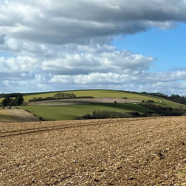
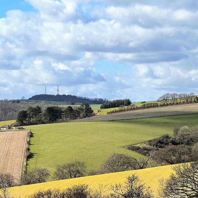
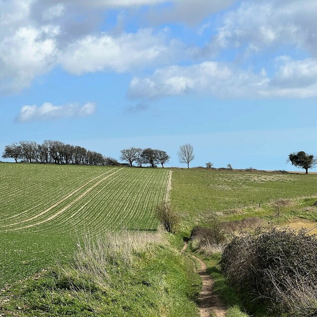
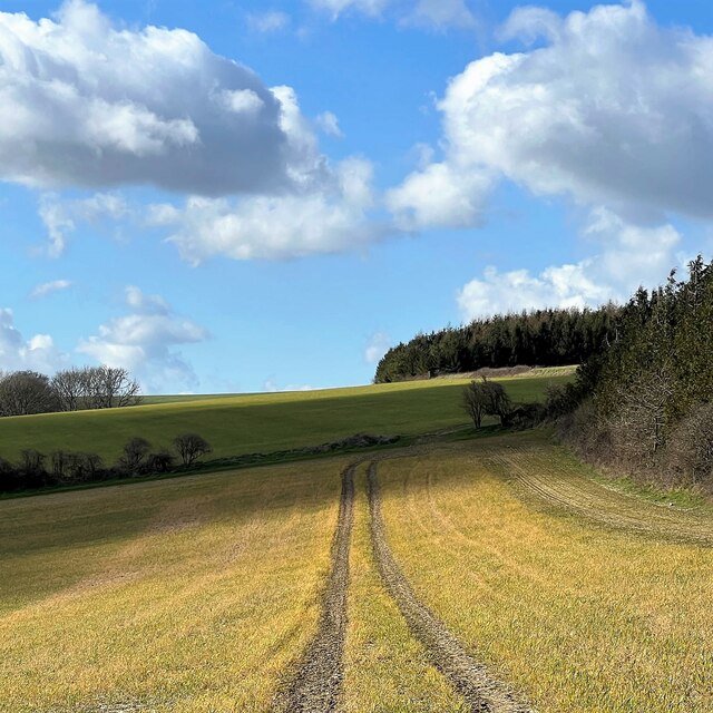
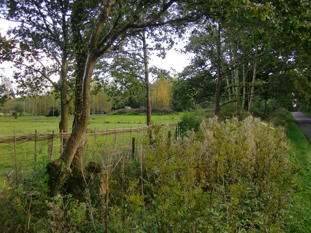
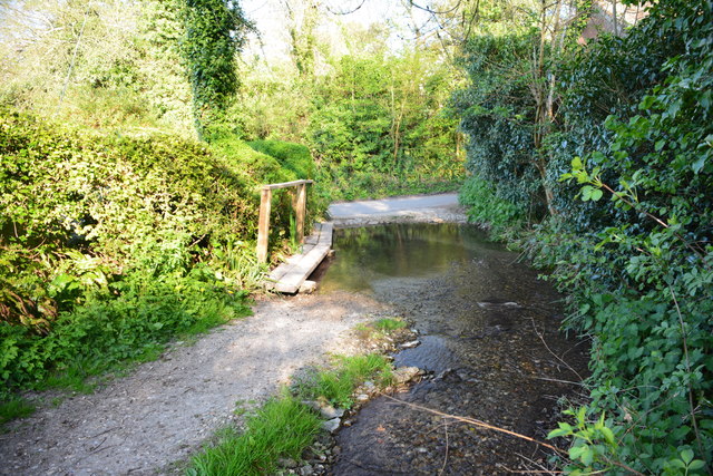
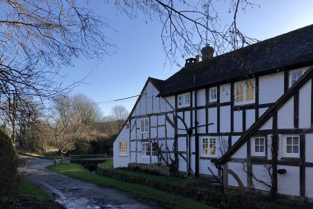
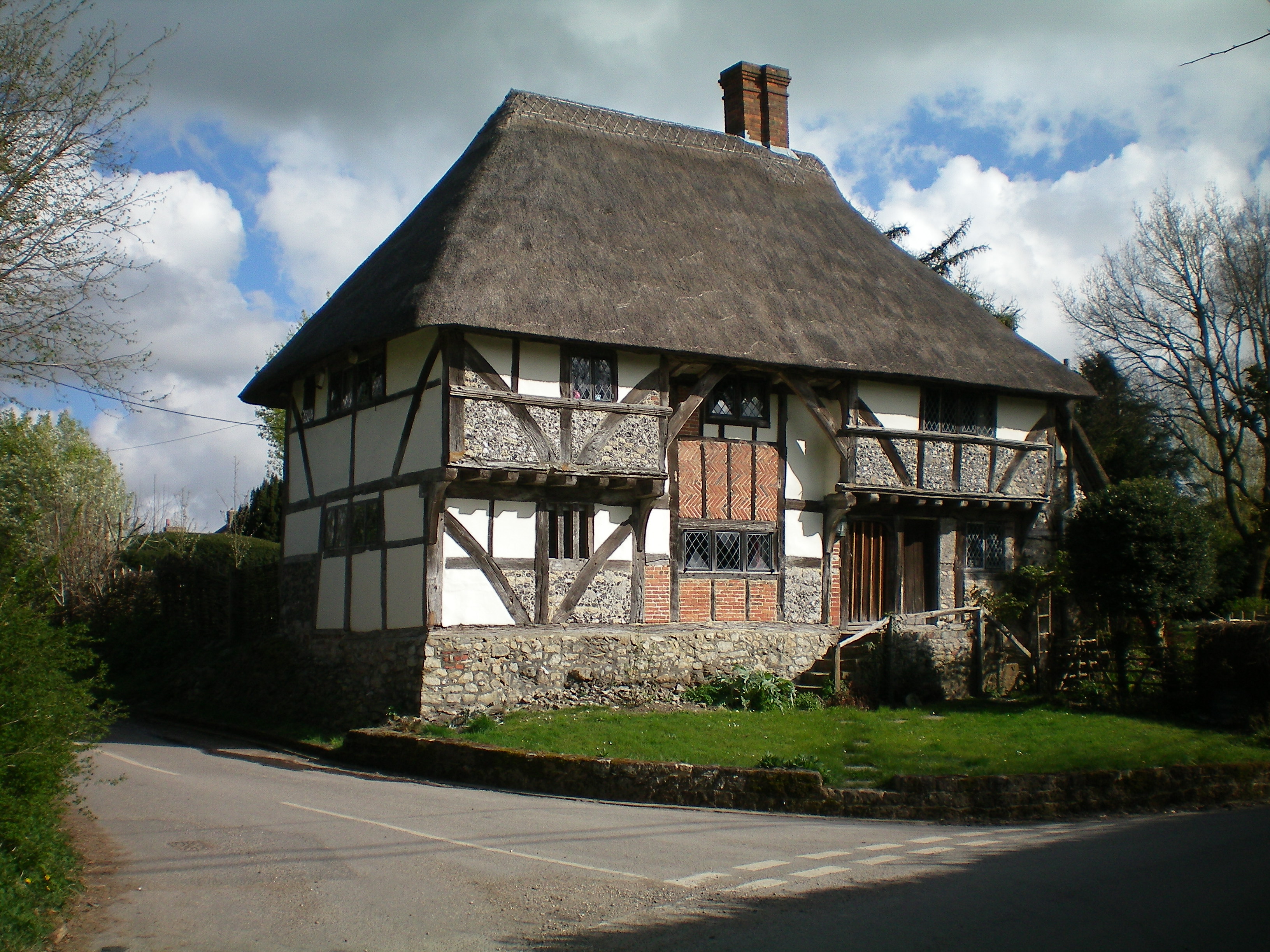
West Burton is characterized by its charming rural atmosphere, with a population of around 500 people. The surrounding landscape comprises rolling hills, lush meadows, and gentle streams, making it an ideal location for nature enthusiasts and hikers. The village itself is dotted with traditional cottages, some of which date back several centuries, giving it a timeless and idyllic feel.

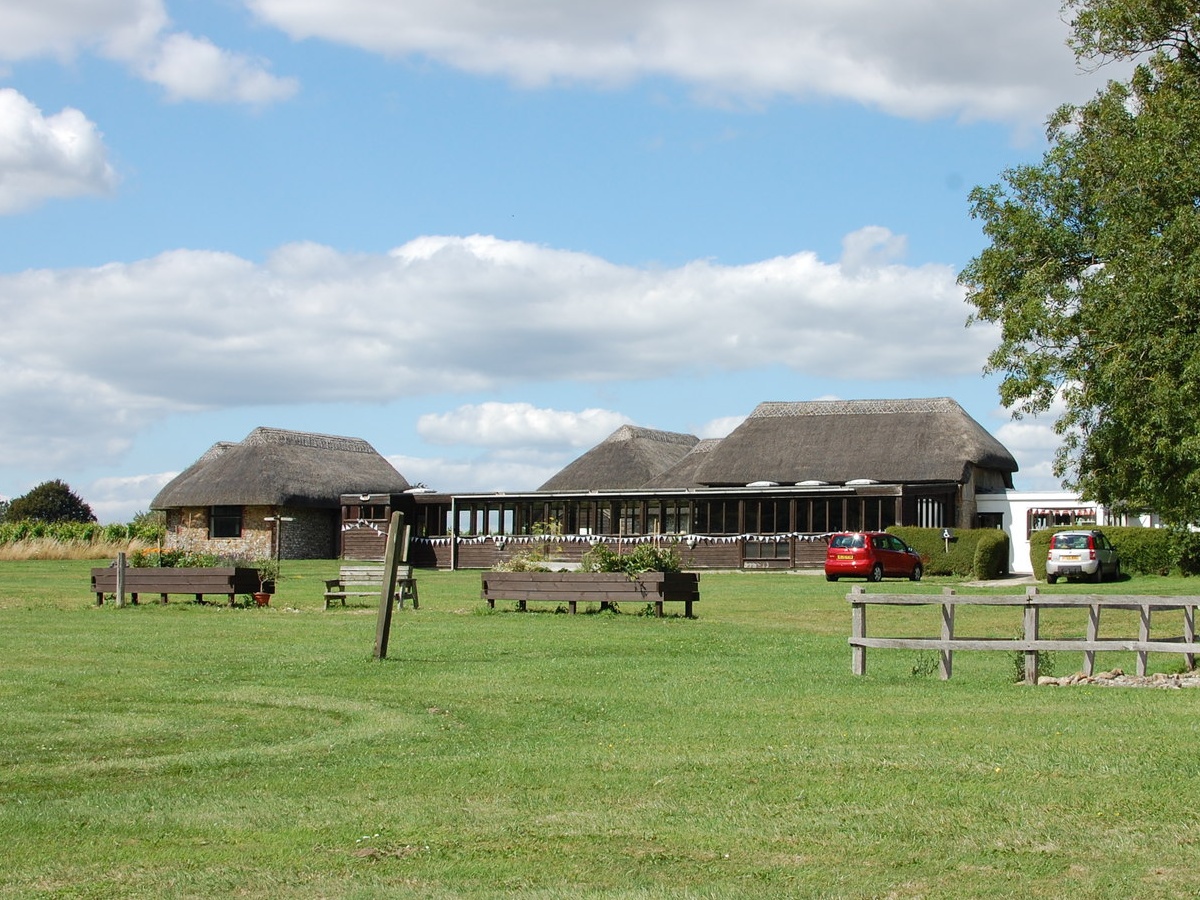
Although primarily a residential area, West Burton boasts a few amenities to cater to the needs of its inhabitants. These include a local village hall, a post office, and a small convenience store. The village also has a primary school, providing education for children in the area.

One of West Burton's notable attractions is the nearby West Burton CofE Church, a beautiful religious building with a rich history. The church is known for its exceptional stained glass windows and its Norman architecture, which attracts visitors from across the region.

Overall, West Burton offers a peaceful and picturesque escape from the hustle and bustle of city life. With its natural beauty and close-knit community, it provides a delightful place to call home or to explore for those seeking a taste of rural England.

If you have any feedback on the listing, please let us know in the comments section below.
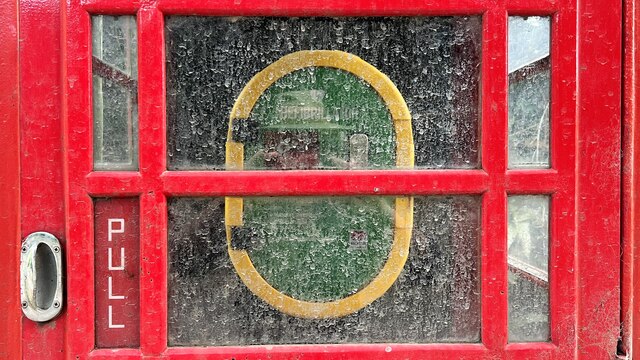
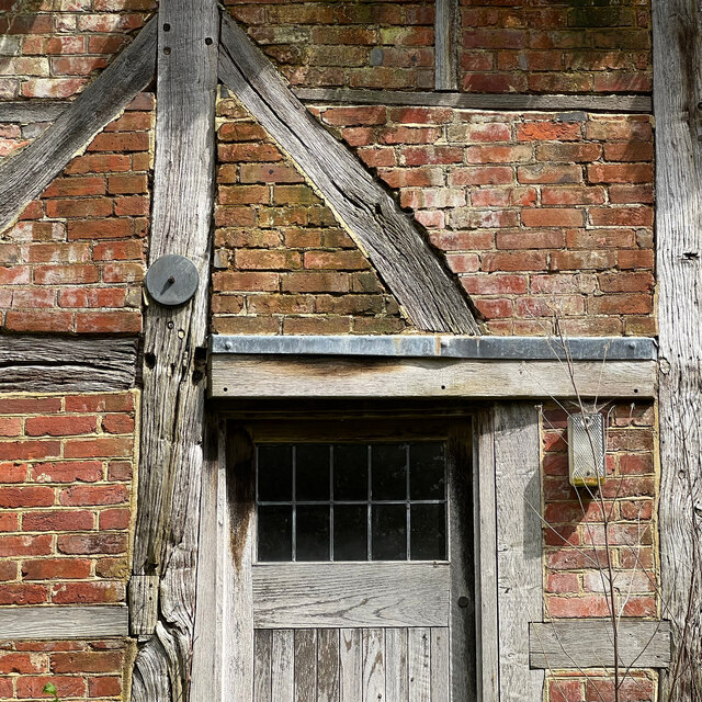
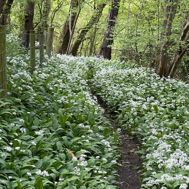
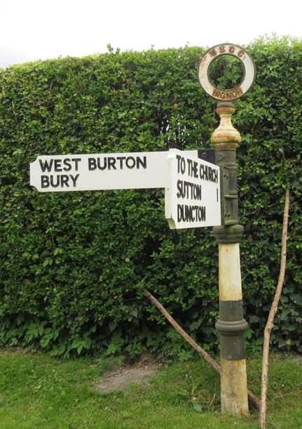
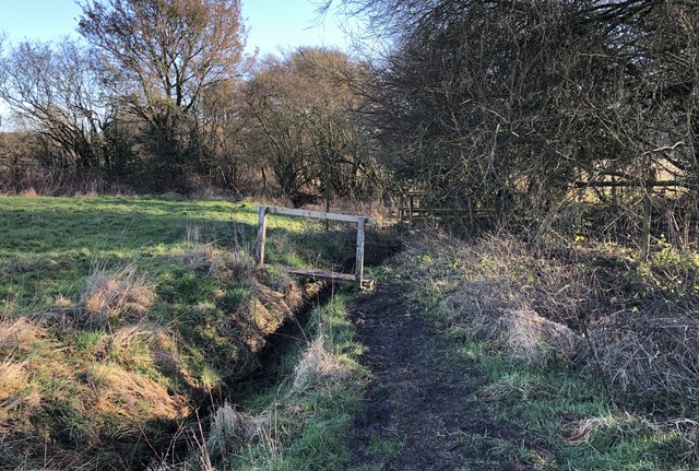
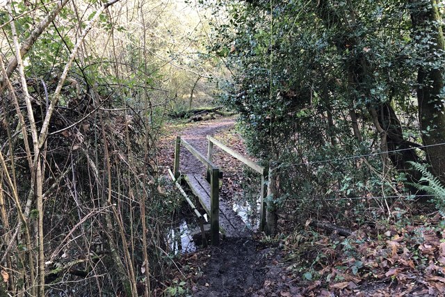
West Burton Images

Images are sourced within 2km of 50.916967/-0.582349 or Grid Reference SU9914. Thanks to Geograph Open Source API. All images are credited.

View NW towards Bignor Hill I took this from the South Downs Way.
View NW towards Bignor Hill
I took this from the South Downs Way.
View WNW towards Glatting Beacon You can see the communications masts on Glatting Beacon. I took this photo from the South Downs Way.
View WNW towards Glatting Beacon
You can see the communications masts on Glatting Beacon. I took this photo from the South Downs Way.
View ESE towards Bury Hill I took this from the South Downs Way.
View ESE towards Bury Hill
I took this from the South Downs Way.
View WNW from a point west of King's Buildings I was a little south of the marked bridleway when I took this photo. It's difficult to find and follow the bridleway. An obvious track cuts across the field to the south of it - so I followed that.
View WNW from a point west of King's Buildings
I was a little south of the marked bridleway when I took this photo. It's difficult to find and follow the bridleway. An obvious track cuts across the field to the south of it - so I followed that.
Sunflower head There was a field of immensely tall sunflowers to the north of the public footpath.
Sunflower head
There was a field of immensely tall sunflowers to the north of the public footpath.
Phone box with defibrillator inside
View SW towards Bignor Hill and Glatting Beacon
Old Boundary Marker on Bignor Hill Estate Boundary Marker beside a wooden fence and the South Downs Way close to Toby's Stone monument. F (vertical line) L in raised lettering on north face. On the boundary of Bignor and Bury parishes but reported as an estate boundary marker on the Slindon Estate by the National Trust. Not shown on OS maps before 1914. 

Milestone Society National ID: SX_BIGBUR01em
Old Boundary Marker on Bignor Hill
Estate Boundary Marker beside a wooden fence and the South Downs Way close to Toby's Stone monument. F (vertical line) L in raised lettering on north face. On the boundary of Bignor and Bury parishes but reported as an estate boundary marker on the Slindon Estate by the National Trust. Not shown on OS maps before 1914. Milestone Society National ID: SX_BIGBUR01em
Sydenham Cottage This cottage seemed unlived-in - which, I imagine, is unusual in a prosperous village like West Burton.
Sydenham Cottage
This cottage seemed unlived-in - which, I imagine, is unusual in a prosperous village like West Burton.
Wild garlic by the West Sussex Literary Trail There was an abundance of wild garlic (ramsons) hereabouts - though oddly you could hardly smell it. I guess the strength of the smell depends on the flowering stage that the plant has reached?
Wild garlic by the West Sussex Literary Trail
There was an abundance of wild garlic (ramsons) hereabouts - though oddly you could hardly smell it. I guess the strength of the smell depends on the flowering stage that the plant has reached?
Trees by a ditch I stopped to photograph the French-style plantation of young poplars (seen left) and only then realised that the rank vegetation in the foreground was growing along a roadside ditch - overgrown but still very wet.
Trees by a ditch
I stopped to photograph the French-style plantation of young poplars (seen left) and only then realised that the rank vegetation in the foreground was growing along a roadside ditch - overgrown but still very wet.
Bignor Ford This ford is found close to Jay's Farm at Bignor.
Bignor Ford
This ford is found close to Jay's Farm at Bignor.
Old Direction Sign - Signpost in Bignor village Disc finial - 2 arms; West Sussex badge disc by the UC road, in parish of Bignor (Chichester District), Bignor village, T-junction opposite the church.

To be surveyed

Milestone Society National ID: SX_SU9814
Old Direction Sign - Signpost in Bignor village
Disc finial - 2 arms; West Sussex badge disc by the UC road, in parish of Bignor (Chichester District), Bignor village, T-junction opposite the church. To be surveyed Milestone Society National ID: SX_SU9814
Old Direction Sign - Signpost in Sutton parish Annulus finial - 2 arms; WSCC parish halo by the UC road, in parish of Sutton (Chichester District), minor road East of Sutton, on verge at T-junction.

To be surveyed

Milestone Society National ID: SX_SU9815
Old Direction Sign - Signpost in Sutton parish
Annulus finial - 2 arms; WSCC parish halo by the UC road, in parish of Sutton (Chichester District), minor road East of Sutton, on verge at T-junction. To be surveyed Milestone Society National ID: SX_SU9815
Old Direction Sign - Signpost in Bignor village Annulus finial - 2 arms; WSCC parish halo by the UC road, in parish of Bignor (Chichester District), T-junction South of Bignor village, on verge by gate.

To be surveyed

Milestone Society National ID: SX_SU9814A
Old Direction Sign - Signpost in Bignor village
Annulus finial - 2 arms; WSCC parish halo by the UC road, in parish of Bignor (Chichester District), T-junction South of Bignor village, on verge by gate. To be surveyed Milestone Society National ID: SX_SU9814A
Footbridge over small stream The footbridge carries the West Sussex Literary Trail across a small stream on the way to West Burton.
Footbridge over small stream
The footbridge carries the West Sussex Literary Trail across a small stream on the way to West Burton.
Fogdens Cottage The cottage is a Grade II listed building. See <span class="nowrap"><a title="https://historicengland.org.uk/listing/the-list/list-entry/1026543" rel="nofollow ugc noopener" href="https://historicengland.org.uk/listing/the-list/list-entry/1026543">Link</a><img style="margin-left:2px;" alt="External link" title="External link - shift click to open in new window" src="https://s1.geograph.org.uk/img/external.png" width="10" height="10"/></span>
Fogdens Cottage
The cottage is a Grade II listed building. See LinkExternal link
Footbridge near Bignor Mill The footbridge crosses a stream that feeds the old mill pond of Bignor Mill.
Footbridge near Bignor Mill
The footbridge crosses a stream that feeds the old mill pond of Bignor Mill.
Show me another place!

West Burton is located at Grid Ref: SU9914 (Lat: 50.916967, Lng: -0.582349)

Administrative County: West Sussex

District: Chichester

Police Authority: Sussex

What 3 Words

///whimpered.birthing.chains. Near Pulborough, West Sussex

Related Wikis

West Burton, West Sussex

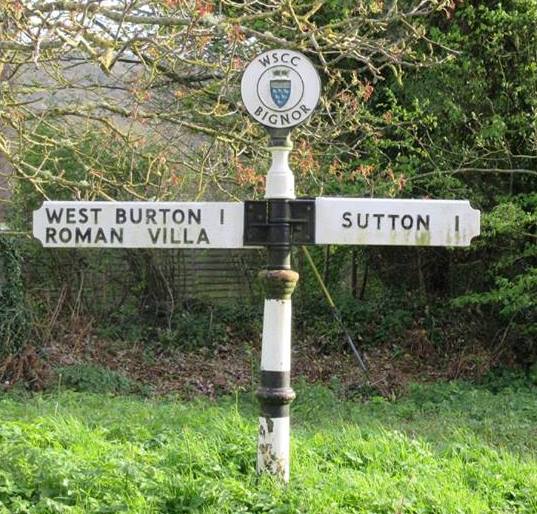
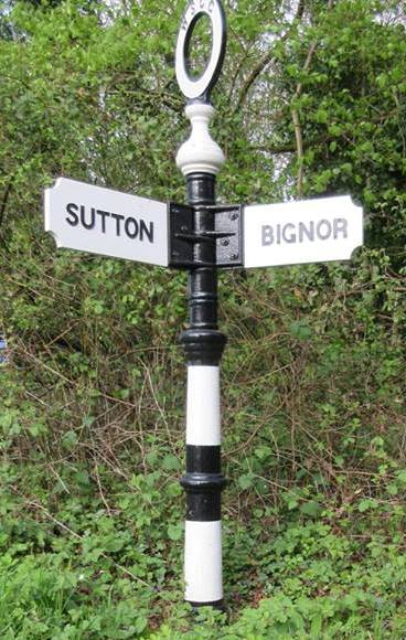
West Burton is a small hamlet in the Parish of Bury and the Chichester district of West Sussex, England. It lies between Bignor and Bury on the Lower Greensand...

Bignor Roman Villa

Bignor Roman Villa is a large Roman courtyard villa which has been excavated and put on public display on the Bignor estate in the English county of West...

Bignor

Bignor is a village and civil parish in the Chichester district of the English county of West Sussex, about six miles (9.7 km) north of Arundel. It is...

Bury Hill, Arundel

Bury Hill is an area of West Sussex, England, north of Arundel and southwest of Bury. In the 18th century, its name may have sometimes been spelled Berry...

Bury, West Sussex

Bury is a village and civil parish in the Chichester district of West Sussex, England. It is located on the A29 road, around 5 miles (8 km) south-west...

Bignor Park

Bignor Park is a privately owned country house and estate near the village of Bignor, in West Sussex, England, on the edge of the South Downs. The house...

Bignor Hill

Bignor Hill is a hill near Bignor in Sussex. The South Downs Way passes over the hill. Near the summit are the remains of a memorial to Toby Wentworth...

Dorset House School

Dorset House School is a co-educational preparatory school near Pulborough in West Sussex, England. == History == The school was founded in 1784 as Totteridge...

Nearby Amenities

Located within 500m of 50.916967,-0.582349
West Burton
Is In: West Sussex, England, UK
Place: village
Source: npe
Wikidata: Q7984622
Lat/Long: 50.9170393/-0.57785
Post Box
Collection Plate: CP1
Collection Times: Mo-Fr 16:45; Sa 08:30
Operator: Royal Mail
Post Box Type: wall
Ref: RH20 7
Royal Cypher: EIIR
Royal Cypher Wikidata: Q33102113
Lat/Long: 50.9171113/-0.5805147
Village
Naptan AtcoCode: 4400MO0347
Naptan Bearing: NE
Naptan BusStopType: CUS
Naptan CommonName: Village
Naptan Indicator: o/s The Lodge
Naptan Landmark: Upper House
Naptan NaptanCode: wsxdjpaw
Naptan Street: West Burton Road
Naptan Verified: no
Source: naptan_import
Lat/Long: 50.9170827/-0.5806738
Barrier: stile
Lat/Long: 50.9162921/-0.5763445
The data included in this document is from www.openstreetmap.org. The data is made available under ODbL.

Have you been to West Burton?

Leave your review of West Burton below (or comments, questions and feedback).