Grevatt Wood
Wood, Forest in Sussex Chichester
England
Grevatt Wood
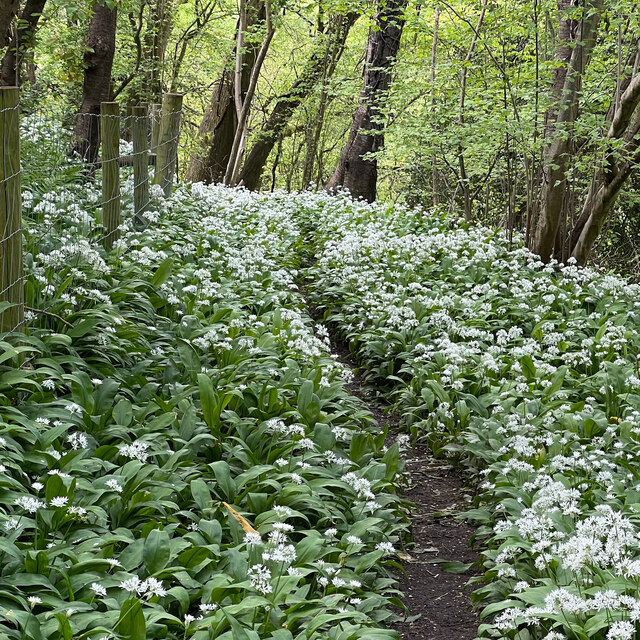
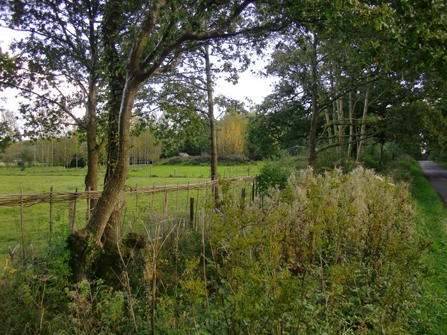
Grevatt Wood is a charming woodland area located in Sussex, England. Covering an area of approximately 100 acres, it is nestled within the picturesque South Downs National Park. The wood is characterized by its diverse range of tree species, including oak, beech, ash, and birch, creating a rich and vibrant ecosystem.
The woodland is a haven for wildlife, attracting a variety of species throughout the year. It is particularly known for its population of birds, such as woodpeckers, owls, and thrushes, which can be heard chirping and singing amongst the branches. Additionally, the wood is home to a variety of mammals, including foxes, badgers, and deer, which can occasionally be spotted roaming through the undergrowth.
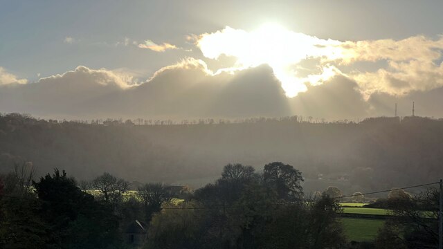
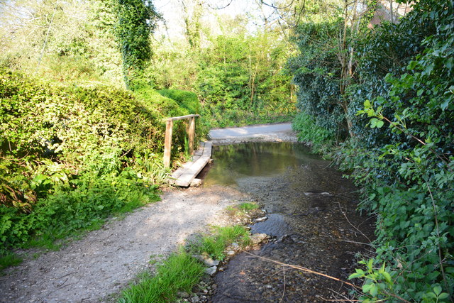
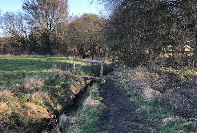
Grevatt Wood offers a peaceful and tranquil environment for visitors to explore. There are several well-maintained walking trails that wind through the wood, providing opportunities to admire the natural beauty and observe the wildlife. The wood also features a small stream that meanders through its heart, adding to the serene atmosphere.
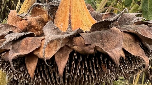
Throughout the seasons, Grevatt Wood showcases a breathtaking display of nature's wonders. In spring, the woodland floor is carpeted with bluebells and wildflowers, offering a stunning sight and a delightful floral fragrance. In autumn, the trees transform into a kaleidoscope of vibrant colors, creating a picturesque landscape.
Overall, Grevatt Wood is a captivating destination for nature lovers and those seeking a peaceful retreat. With its diverse flora and fauna, scenic trails, and beautiful seasonal displays, it offers an enchanting experience for visitors of all ages.
If you have any feedback on the listing, please let us know in the comments section below.
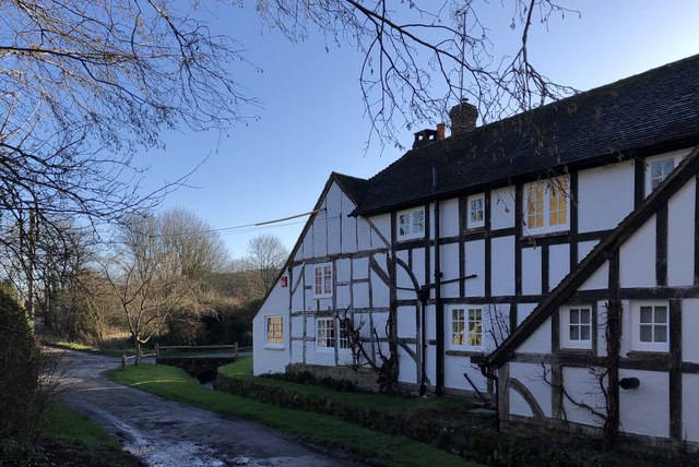
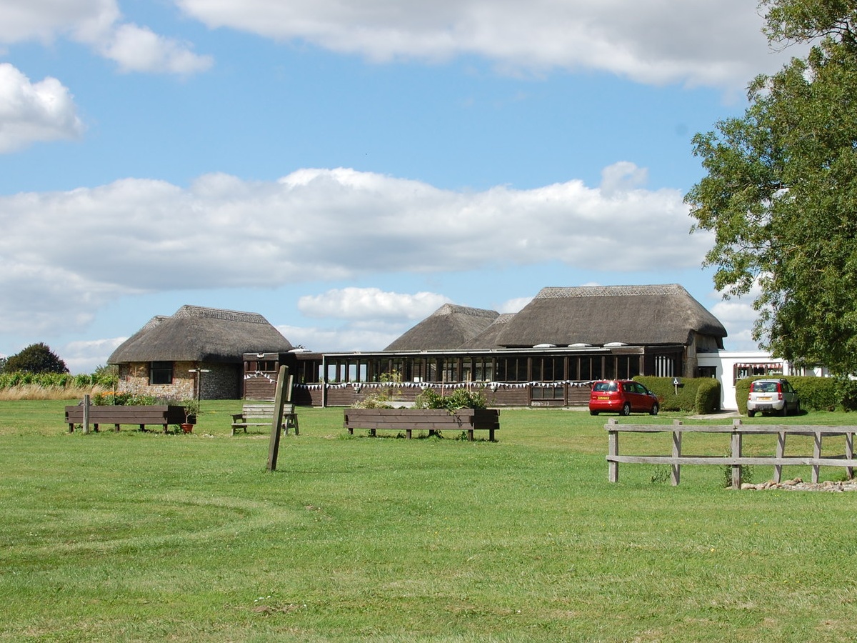
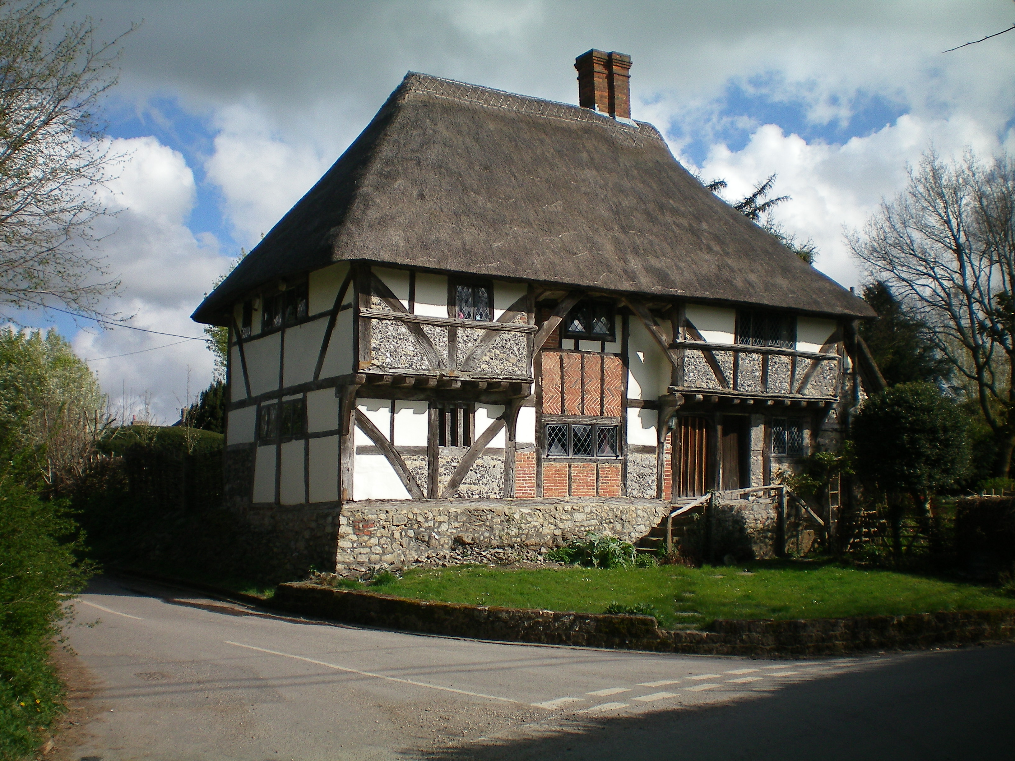
Grevatt Wood Images
Images are sourced within 2km of 50.92551/-0.58144455 or Grid Reference SU9914. Thanks to Geograph Open Source API. All images are credited.


Grevatt Wood is located at Grid Ref: SU9914 (Lat: 50.92551, Lng: -0.58144455)
Administrative County: West Sussex
District: Chichester
Police Authority: Sussex
What 3 Words
///reservoir.events.thickened. Near Pulborough, West Sussex
Nearby Locations
Related Wikis

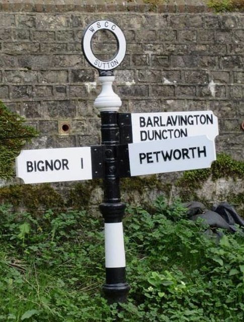
Bignor Park
Bignor Park is a privately owned country house and estate near the village of Bignor, in West Sussex, England, on the edge of the South Downs. The house...
Bignor Roman Villa
Bignor Roman Villa is a large Roman courtyard villa which has been excavated and put on public display on the Bignor estate in the English county of West...

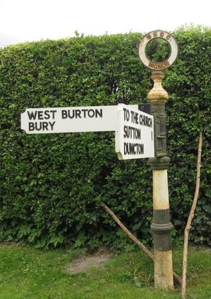
West Burton, West Sussex
West Burton is a small hamlet in the Parish of Bury and the Chichester district of West Sussex, England. It lies between Bignor and Bury on the Lower Greensand...
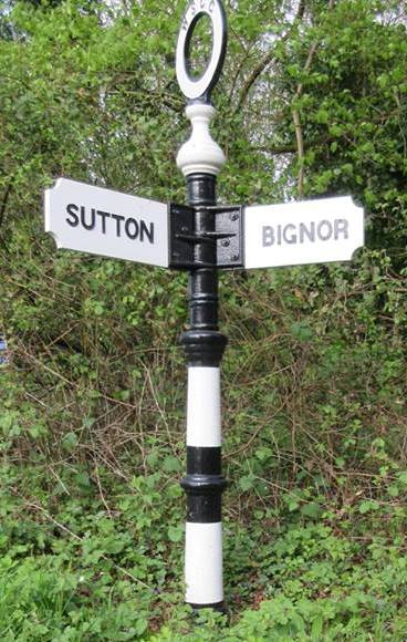
Bignor
Bignor is a village and civil parish in the Chichester district of the English county of West Sussex, about six miles (9.7 km) north of Arundel. It is...
Watersfield
Watersfield is a hamlet in the Horsham District of West Sussex, England. It lies on the A29 road 3.1 miles (5 km) southwest of Pulborough. At the 2011...

Sutton, West Sussex
Sutton is a village and civil parish in the District of Chichester in West Sussex, England, located six kilometres (4 miles) south of Petworth and east...

Bury, West Sussex
Bury is a village and civil parish in the Chichester district of West Sussex, England. It is located on the A29 road, around 5 miles (8 km) south-west...

Bignor Hill
Bignor Hill is a hill near Bignor in Sussex. The South Downs Way passes over the hill. Near the summit are the remains of a memorial to Toby Wentworth...
Nearby Amenities
Located within 500m of 50.92551,-0.58144455Have you been to Grevatt Wood?
Leave your review of Grevatt Wood below (or comments, questions and feedback).