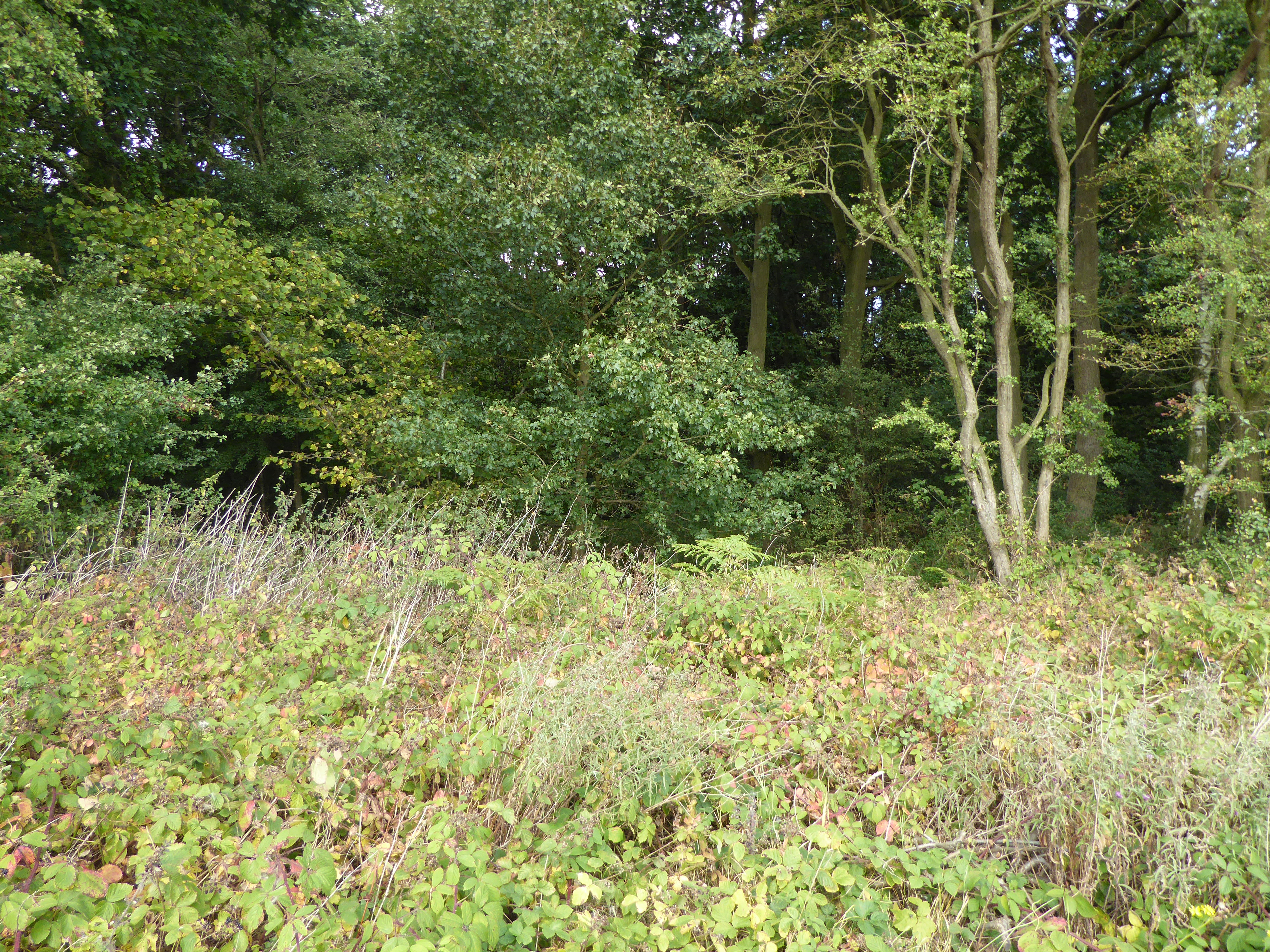
Howitt's Gorse

Wood, Forest in Lincolnshire South Kesteven

England

Howitt's Gorse

Tree and hedge enclosed road at Little Warren Wood Looking north-westward.
Tree and hedge enclosed road at Little Warren Wood Credit: Peter Wood

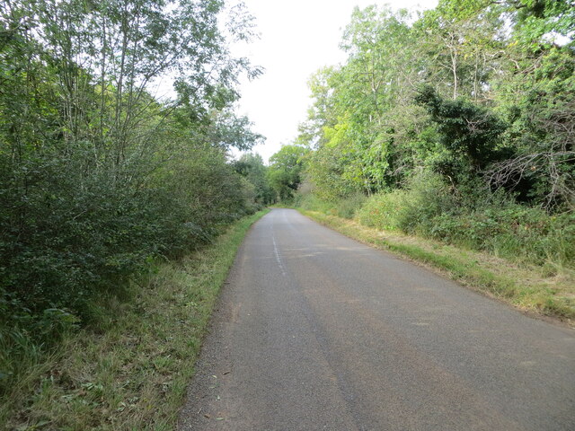
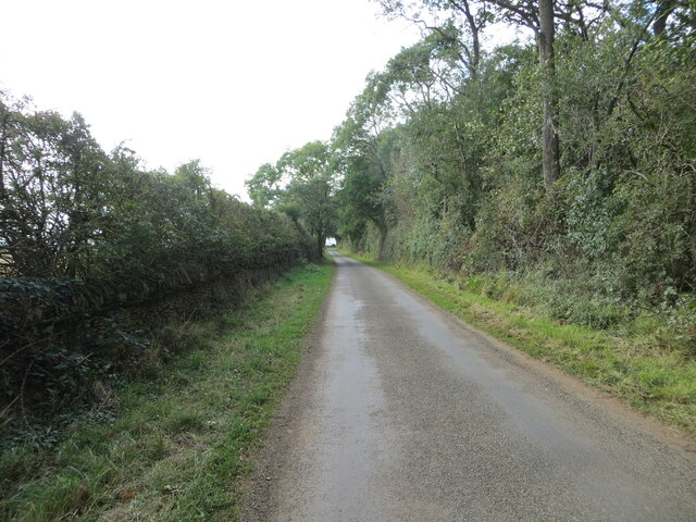
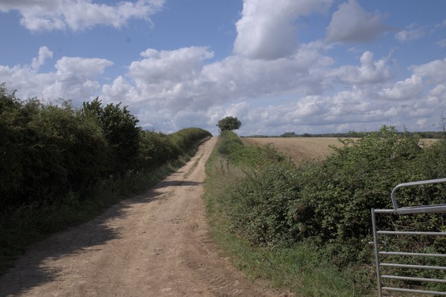
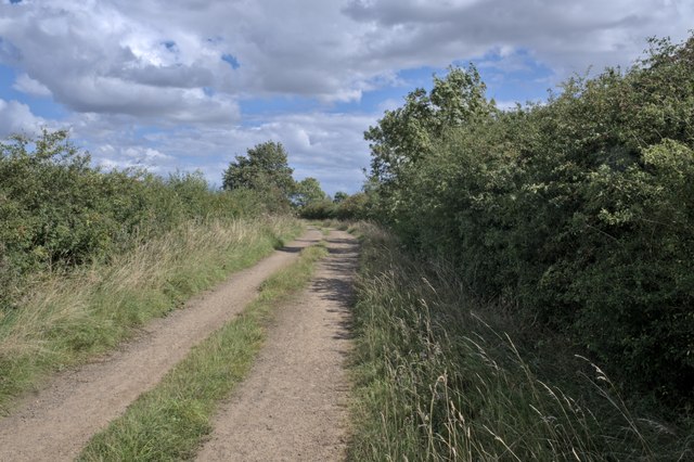
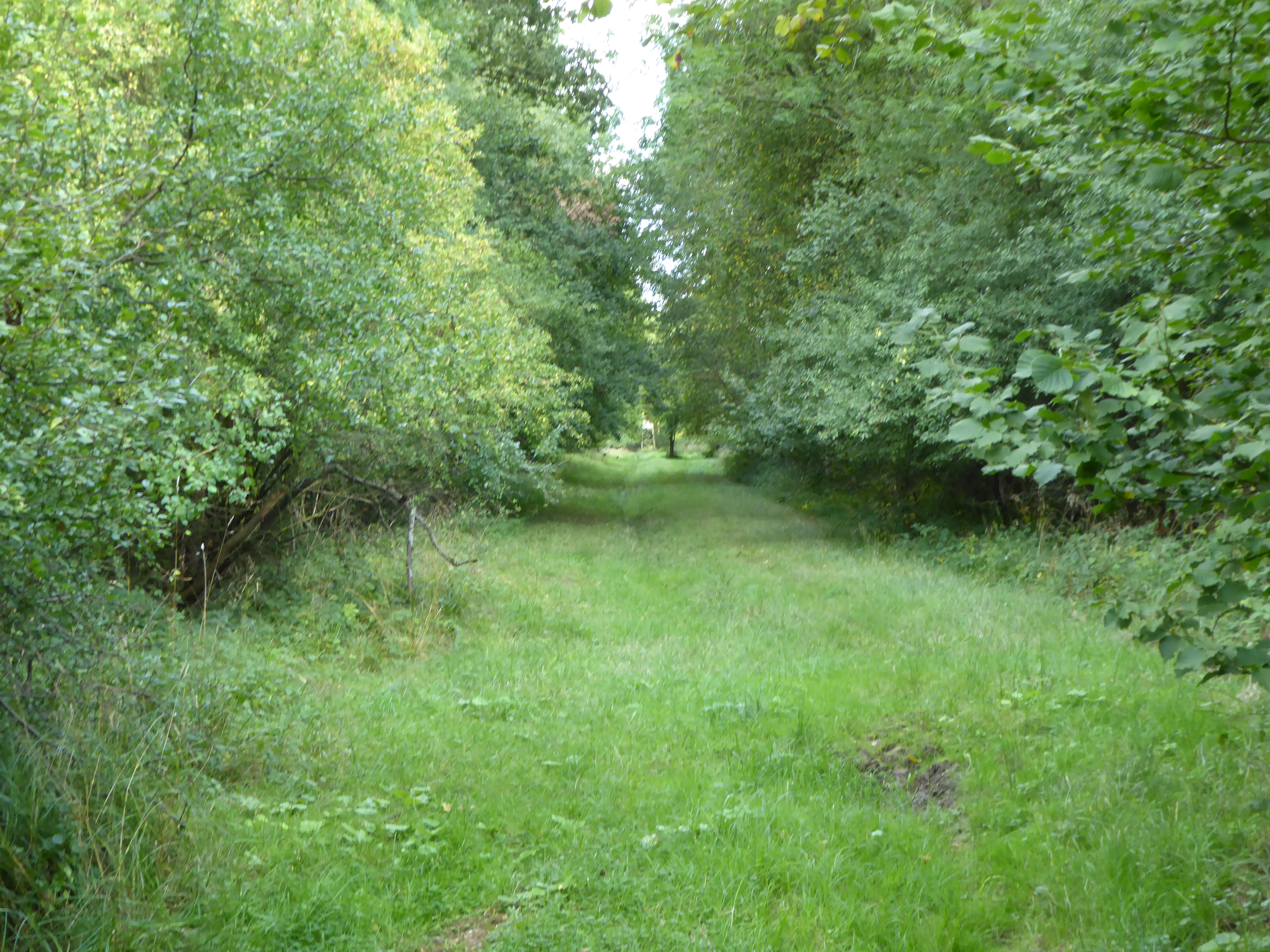
Howitt's Gorse is a woodland area located in Lincolnshire, England. Spread across an approximate area of several hectares, it is primarily composed of gorse, a spiny evergreen shrub native to Western Europe. The gorse bushes dominate the landscape, creating a dense and impenetrable thicket that provides a protective habitat for various wildlife species.

The gorse bushes in Howitt's Gorse typically reach a height of around 1-2 meters and are characterized by their bright yellow flowers that bloom from late winter to early spring. These flowers not only add a splash of vibrant color to the woodland but also emit a sweet scent, attracting bees and other pollinators.

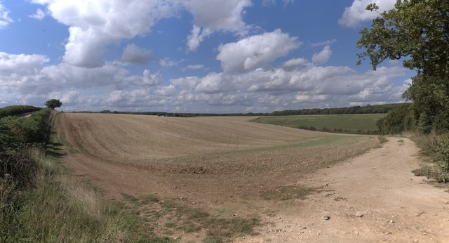
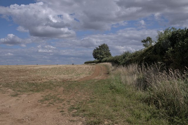
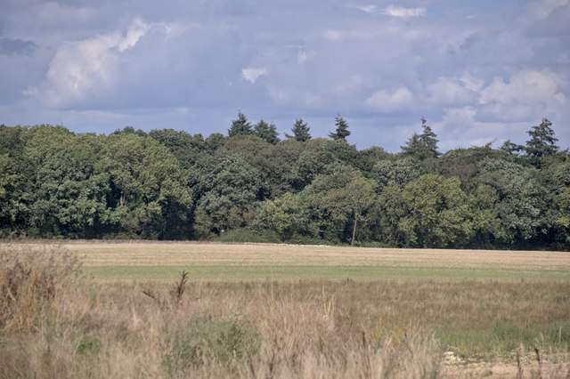
The woodland is home to a diverse range of flora and fauna. Common tree species found in Howitt's Gorse include oak, birch, and hawthorn. The undergrowth is rich in ferns, mosses, and wildflowers, creating a picturesque and ecologically important environment.

A variety of bird species can be spotted in the area, including thrushes, finches, and woodpeckers. Small mammals like rabbits, voles, and shrews also thrive in this woodland habitat. Additionally, reptiles such as adders and slow worms are known to inhabit the gorse thickets.

Howitt's Gorse is a popular destination for nature enthusiasts, hikers, and photographers, as it offers a peaceful and tranquil atmosphere. Visitors can explore the woodland through a network of well-maintained footpaths that wind their way through the gorse bushes and provide access to the stunning natural beauty of this Lincolnshire forest.

If you have any feedback on the listing, please let us know in the comments section below.

Howitt's Gorse Images

Images are sourced within 2km of 52.72365/-0.52378314 or Grid Reference SK9915. Thanks to Geograph Open Source API. All images are credited.

Tree and hedge enclosed road at Little Warren Wood Looking north-westward.
Tree and hedge enclosed road at Little Warren Wood
Looking north-westward.
Hedge and tree enclosed minor road at Castle Dyke Looking south-westward.
Hedge and tree enclosed minor road at Castle Dyke
Looking south-westward.
Hedge enclosed minor road approaching The Grange Looking north-westward.
Hedge enclosed minor road approaching The Grange
Looking north-westward.
All Saints Church and part of its burial ground, Pickworth Viewed from the southwest.
All Saints Church and part of its burial ground, Pickworth
Viewed from the southwest.
Country road near Clipsham (1)
Country road near Clipsham (2)
Ordnance Survey Cut Mark This mark can be found on the wall of All Saints Church, Pickworth.
The recorded details give a height of 71.4601 metres above sea level.
For more details see : <span class="nowrap"><a title="https://www.bench-marks.org.uk/bm37691" rel="nofollow ugc noopener" href="https://www.bench-marks.org.uk/bm37691">Link</a><img style="margin-left:2px;" alt="External link" title="External link - shift click to open in new window" src="https://s1.geograph.org.uk/img/external.png" width="10" height="10"/></span>
Ordnance Survey Cut Mark
This mark can be found on the wall of All Saints Church, Pickworth. The recorded details give a height of 71.4601 metres above sea level. For more details see : LinkExternal link
Gently rolling hills Rutland is a fractal surface - it's a bit more than 2 dimensional.  The tiny folds and ridges of the fields round here can be surprising steep, if short to climb.

This image is stitched from 6 others, giving a panorama some 90 degrees wide.
Gently rolling hills
Rutland is a fractal surface - it's a bit more than 2 dimensional. The tiny folds and ridges of the fields round here can be surprising steep, if short to climb. This image is stitched from 6 others, giving a panorama some 90 degrees wide.
A field in Rutland
A field in Rutland
The Drift An unmade road in Rutland.  We are here looking toward Pickworth.
The Drift
An unmade road in Rutland. We are here looking toward Pickworth.
Nature reserve verge There is one of these signs on each side of the drift.  The verges are full of butterflies
Nature reserve verge
There is one of these signs on each side of the drift. The verges are full of butterflies
Along the drift Looking along the track toward the East
Along the drift
Looking along the track toward the East
Looking toward Newell Wood
Turnpole wood A wood near the Pickworth Drift
Turnpole wood
A wood near the Pickworth Drift
Acer pseudoplatanus A Sycamore by the side of The Drift.  Whilst not a true native tree, the Sycamore has been planted at least as long ago as the 16th century, and may actually be a Roman introduction.
Acer pseudoplatanus
A Sycamore by the side of The Drift. Whilst not a true native tree, the Sycamore has been planted at least as long ago as the 16th century, and may actually be a Roman introduction.
Sycamore keys The fruits and leaves of <a href="https://www.geograph.org.uk/photo/7573654">TF0013 : Acer pseudoplatanus</a>.  The winged fruit of a Sycamore are an example of what botanists call a Samara.
Sycamore keys
The fruits and leaves of TF0013 : Acer pseudoplatanus. The winged fruit of a Sycamore are an example of what botanists call a Samara.
Always look up The upper branches and canopy of <a href="https://www.geograph.org.uk/photo/7573654">TF0013 : Acer pseudoplatanus</a>, the roadside Sycamore
Always look up
The upper branches and canopy of TF0013 : Acer pseudoplatanus, the roadside Sycamore
Ivy covered trunk This is the trunk of the tree in <a href="https://www.geograph.org.uk/photo/7573654">TF0013 : Acer pseudoplatanus</a>, barely visible in its cladding of Common Ivy (Hedera helix ssp. helix).
Ivy covered trunk
This is the trunk of the tree in TF0013 : Acer pseudoplatanus, barely visible in its cladding of Common Ivy (Hedera helix ssp. helix).
Show me another place!

Howitt's Gorse is located at Grid Ref: SK9915 (Lat: 52.72365, Lng: -0.52378314)

Administrative County: Lincolnshire

District: South Kesteven

Police Authority: Lincolnshire
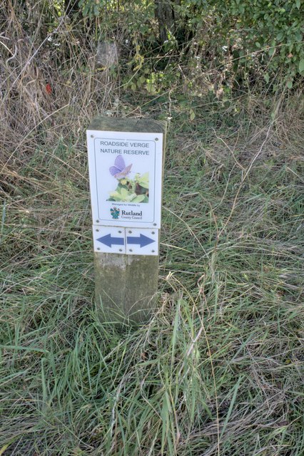
What 3 Words

///chapels.relocated.bystander. Near Pickworth, Rutland

Related Wikis

Lincolnshire Gate

Lincolnshire Gate is the name given to a corner in the road between Holywell, Lincolnshire and Pickworth, Rutland to the south-west of Castle Bytham, in...

Newell Wood

Newell Wood is a 33.3-hectare (82-acre) biological Site of Special Scientific Interest east of Pickworth in Rutland, adjacent to Lincolnshire Gate. This...

Holywell Hall, Lincolnshire

Holywell Hall is a building of historical significance in Lincolnshire and is listed on the English Heritage Register. The house is in the civil parish...

Holywell, Lincolnshire

Holywell is a tiny settlement in the civil parish of Careby Aunby and Holywell, in the South Kesteven district of Lincolnshire, England. It lies 5.5 miles...

Pickworth, Rutland

Pickworth is a civil parish and small village in the county of Rutland. The population of the civil parish at the 2001 census was 81. This remained less...

All Saints' Church, Pickworth

All Saints' Church is the Church of England parish church in Pickworth, Rutland. Built in 1821, it is a Grade II listed building. == History == The current...

Clipsham Old Quarry and Pickworth Great Wood

Clipsham Old Quarry and Pickworth Great Wood is a 111.2-hectare (275-acre) biological and geological Site of Special Scientific Interest in Rutland. It...

Careby Aunby and Holywell

Careby Aunby and Holywell is a civil parish in the district of South Kesteven, south-west Lincolnshire, in England. It stretches from the county border...

Nearby Amenities

Located within 500m of 52.72365,-0.52378314
Created By: Merkaartor 0.12
Lat/Long: 52.72114/-0.5221938
Howitt's Gorse
Place: farm
Source: Bing
Lat/Long: 52.7235632/-0.5239533
Lincolnshire Gate
Place: farm
Source: Bing
Lat/Long: 52.7210995/-0.5221826
Pettywood Farm
Place: farm
Source: Bing
Lat/Long: 52.7260472/-0.5269886
Robert's Field
Place: farm
Source: Bing
Lat/Long: 52.723312/-0.5190082
The data included in this document is from www.openstreetmap.org. The data is made available under ODbL.

Have you been to Howitt's Gorse?

Leave your review of Howitt's Gorse below (or comments, questions and feedback).