Infield Holt

Wood, Forest in Lincolnshire South Kesteven

England

Infield Holt

Hedge and tree enclosed minor road at Castle Dyke Looking south-westward.
Hedge and tree enclosed minor road at Castle Dyke Credit: Peter Wood

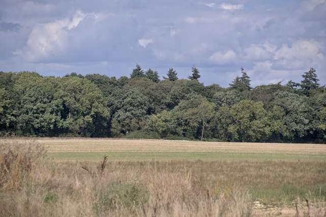
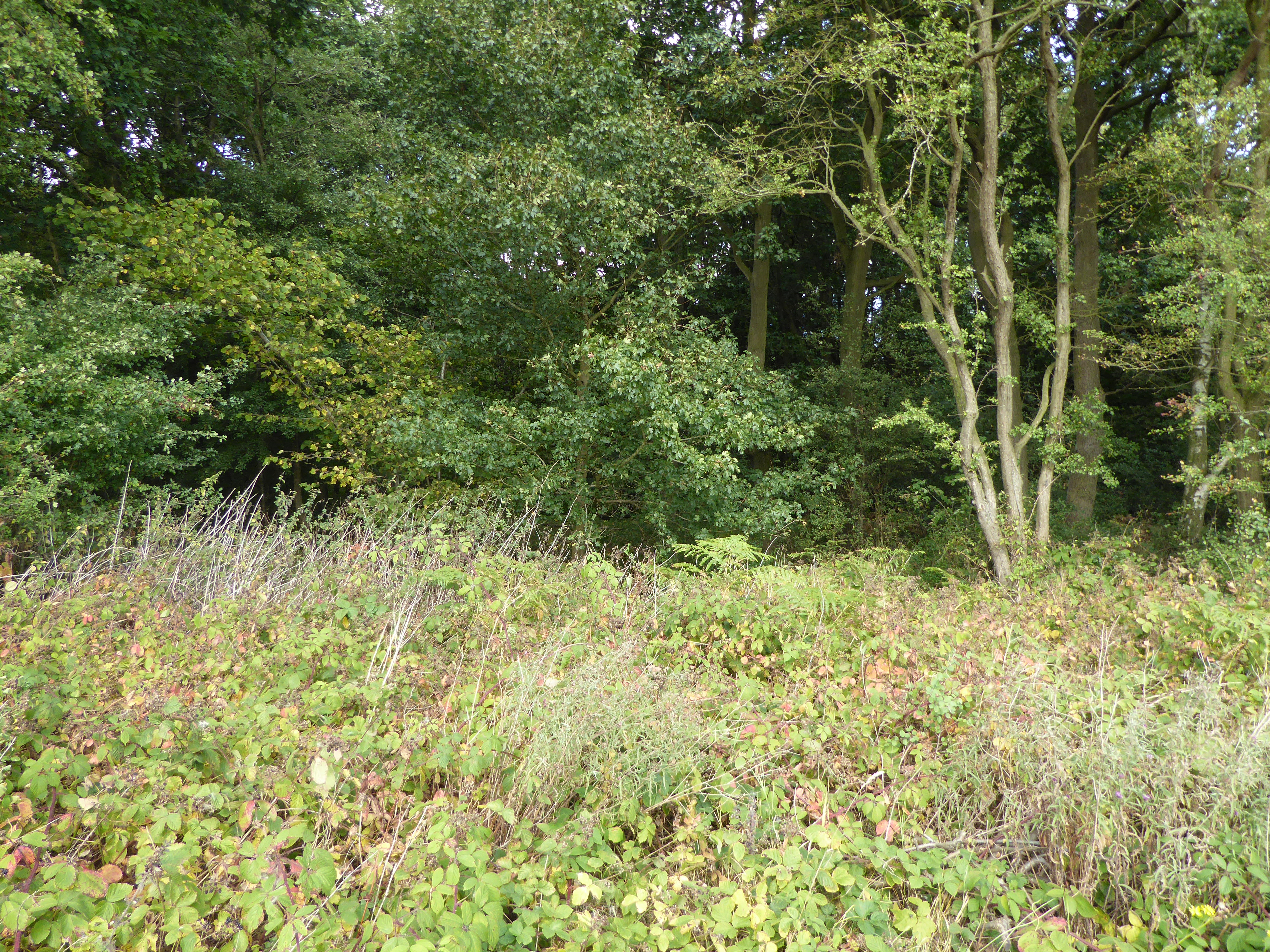
Infield Holt is a picturesque woodland located in the county of Lincolnshire, England. Spanning across a vast area, it is known for its dense forest and captivating natural beauty. The woodland is situated in close proximity to the town of Wood, which adds to its accessibility and popularity among locals and tourists alike.

The forest is characterized by a variety of indigenous tree species, such as oak, beech, and birch, which create a diverse and thriving ecosystem. The abundance of flora and fauna in Infield Holt makes it an ideal habitat for numerous wildlife species, including deer, foxes, rabbits, and a myriad of bird species. Nature enthusiasts and birdwatchers often flock to the area to observe and appreciate the rich biodiversity.

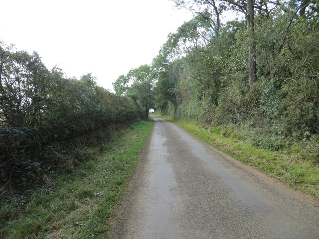
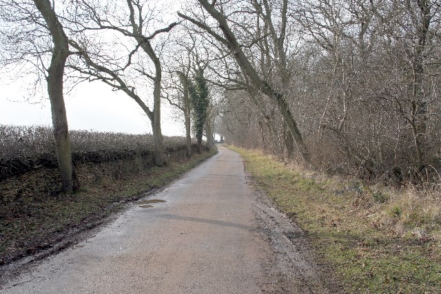
Visitors to Infield Holt can explore the forest through a network of walking trails that wind their way through the woodland. These trails offer a chance to immerse oneself in the tranquility of nature and enjoy the serenity that the forest provides. Additionally, the forest is equipped with picnic areas, allowing visitors to relax and enjoy a meal amidst the natural surroundings.

The management of Infield Holt is overseen by the local authorities, who ensure the preservation of the woodland and its inhabitants. Conservation efforts are in place to protect the delicate balance of the ecosystem and maintain the natural beauty for future generations to enjoy. Infield Holt is truly a hidden gem of Lincolnshire, offering a peaceful escape from the hustle and bustle of everyday life.

If you have any feedback on the listing, please let us know in the comments section below.

Infield Holt Images

Images are sourced within 2km of 52.728637/-0.52355548 or Grid Reference SK9915. Thanks to Geograph Open Source API. All images are credited.

Hedge and tree enclosed minor road at Castle Dyke Looking south-westward.
Hedge and tree enclosed minor road at Castle Dyke
Looking south-westward.
Hedge enclosed minor road approaching The Grange Looking north-westward.
Hedge enclosed minor road approaching The Grange
Looking north-westward.
All Saints Church and part of its burial ground, Pickworth Viewed from the southwest.
All Saints Church and part of its burial ground, Pickworth
Viewed from the southwest.
Country road near Clipsham (1)
Country road near Clipsham (2)
Holywell Road near Castle Bytham
Ordnance Survey Cut Mark This mark can be found on the wall of All Saints Church, Pickworth.
The recorded details give a height of 71.4601 metres above sea level.
For more details see : <span class="nowrap"><a title="https://www.bench-marks.org.uk/bm37691" rel="nofollow ugc noopener" href="https://www.bench-marks.org.uk/bm37691">Link</a><img style="margin-left:2px;" alt="External link" title="External link - shift click to open in new window" src="https://s1.geograph.org.uk/img/external.png" width="10" height="10"/></span>
Ordnance Survey Cut Mark
This mark can be found on the wall of All Saints Church, Pickworth. The recorded details give a height of 71.4601 metres above sea level. For more details see : LinkExternal link
Looking toward Newell Wood
All Saints Church, Pickworth
Country lane by Newell Wood
Footpath to Aunby This footpath links Holywell Hall with Aunby.
Footpath to Aunby
This footpath links Holywell Hall with Aunby.
Bridleway NW past Hollow Cottages The bridleway continues along the left edge of the wood towards Lodge Farm
Bridleway NW past Hollow Cottages
The bridleway continues along the left edge of the wood towards Lodge Farm
Track running NE to Lodge Farm
Bridleway at Lodge Barn
View across wheat field to corner of Docksight Wood From the bridleway running SE to Aunby. Docksight Wood was classified as 'Ancient Woodland' in the English Nature 2005 Survey <span class="nowrap"><a title="http://www.english-nature.org.uk/pubs/publication/PDF/653Appendices.pdf" rel="nofollow ugc noopener" href="http://www.english-nature.org.uk/pubs/publication/PDF/653Appendices.pdf">Link</a><img style="margin-left:2px;" alt="External link" title="External link - shift click to open in new window" src="https://s1.geograph.org.uk/img/external.png" width="10" height="10"/></span>
View across wheat field to corner of Docksight Wood
From the bridleway running SE to Aunby. Docksight Wood was classified as 'Ancient Woodland' in the English Nature 2005 Survey LinkExternal link
Bridleway running SE towards Aunby Wheat and corner of The Heath woodland on right. Very desiccated oilseed rape to left.
Bridleway running SE towards Aunby
Wheat and corner of The Heath woodland on right. Very desiccated oilseed rape to left.
Lane near Newell Wood in the Summer The woodland on the right is called Castle Dyke Wood, part of the Newell Wood complex which almost covers this square. This is in Lincolnshire while <a href="https://www.geograph.org.uk/photo/127556">TF0014 : Country lane by Newell Wood</a> is in Rutland.
Lane near Newell Wood in the Summer
The woodland on the right is called Castle Dyke Wood, part of the Newell Wood complex which almost covers this square. This is in Lincolnshire while TF0014 : Country lane by Newell Wood is in Rutland.
Farmland near Castledyke Wood The woodland on the horizon is The Heath in <a href="https://www.geograph.org.uk/gridref/TF0114">TF0114</a>
Farmland near Castledyke Wood
The woodland on the horizon is The Heath in TF0114
Show me another place!

Infield Holt is located at Grid Ref: SK9915 (Lat: 52.728637, Lng: -0.52355548)

Administrative County: Lincolnshire

District: South Kesteven

Police Authority: Lincolnshire

What 3 Words

///quirky.units.mysteries. Near Pickworth, Rutland

Related Wikis

Holywell Hall, Lincolnshire

Holywell Hall is a building of historical significance in Lincolnshire and is listed on the English Heritage Register. The house is in the civil parish...

Holywell, Lincolnshire

Holywell is a tiny settlement in the civil parish of Careby Aunby and Holywell, in the South Kesteven district of Lincolnshire, England. It lies 5.5 miles...

Lincolnshire Gate

Lincolnshire Gate is the name given to a corner in the road between Holywell, Lincolnshire and Pickworth, Rutland to the south-west of Castle Bytham, in...

Newell Wood

Newell Wood is a 33.3-hectare (82-acre) biological Site of Special Scientific Interest east of Pickworth in Rutland, adjacent to Lincolnshire Gate. This...

Nearby Amenities

Located within 500m of 52.728637,-0.52355548
Pettywood Farm
Place: farm
Source: Bing
Lat/Long: 52.7260472/-0.5269886
The data included in this document is from www.openstreetmap.org. The data is made available under ODbL.

Have you been to Infield Holt?

Leave your review of Infield Holt below (or comments, questions and feedback).