Shull Bank Wood

Wood, Forest in Durham

England

Shull Bank Wood

Bracken Hill Plantation bounded by dry stone wall The wall bounds the southern side of the Bracken Hill Plantation with mainly birch trees on its far side. The purpose of the crudely made concrete blocks in the foreground is unknown.
Note Added 26 March 2018: - The concrete blocks have gone - no sign of them on a visit made 24 March 2018.
Bracken Hill Plantation bounded by dry stone wall Credit: Trevor Littlewood

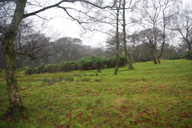
Shull Bank Wood is a picturesque woodland located in Durham, England. Covering an area of approximately 20 acres, it is a popular destination for nature lovers and outdoor enthusiasts alike. The wood is situated on a gently sloping hillside, offering visitors stunning views of the surrounding countryside.

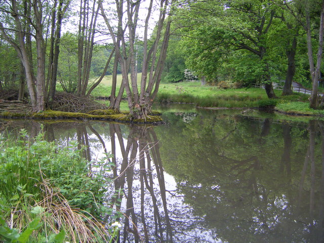
The woodland is primarily made up of native tree species such as oak, beech, and birch, creating a diverse and vibrant habitat for a range of plant and animal species. The forest floor is adorned with a carpet of bluebells in the spring, creating a breathtaking display of color.

Shull Bank Wood is crisscrossed by a network of well-maintained footpaths, making it easily accessible for walkers and hikers of all levels of experience. These paths lead visitors through the heart of the woodland, allowing them to immerse themselves in the tranquil atmosphere and enjoy the sights and sounds of nature. Along the way, there are several benches strategically placed, providing opportunities for rest and contemplation.

Birdwatchers will find Shull Bank Wood to be a haven, as it is home to a wide variety of avian species. Visitors may spot woodpeckers, nuthatches, and treecreepers among the branches, while owls and other birds of prey can occasionally be seen swooping through the canopy.

Overall, Shull Bank Wood offers a serene and enchanting escape from the hustle and bustle of everyday life. Whether it be for a leisurely stroll, birdwatching, or simply enjoying the beauty of nature, this woodland provides a delightful experience for all who venture within its borders.

If you have any feedback on the listing, please let us know in the comments section below.

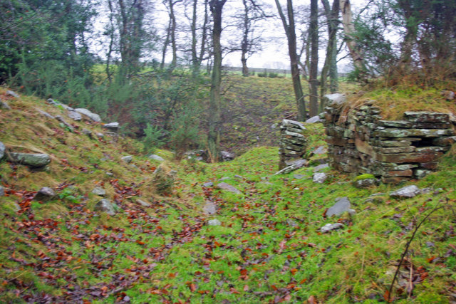
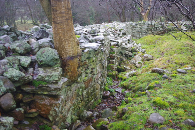
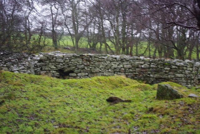
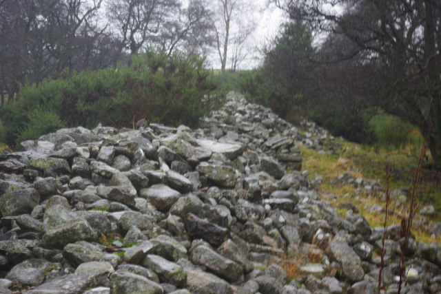
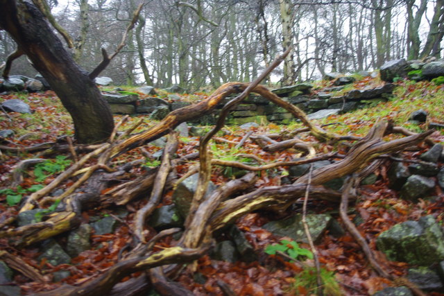
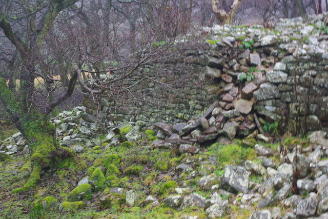
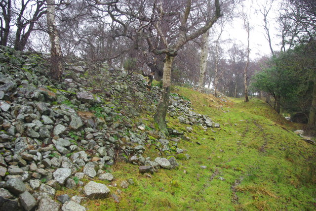
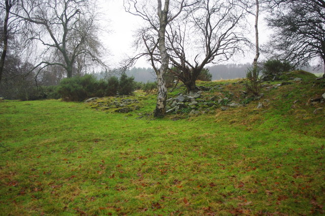
Shull Bank Wood Images

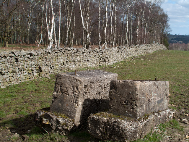
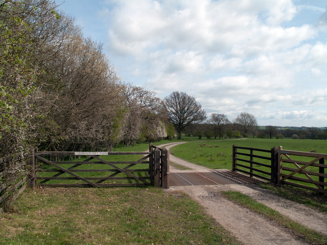
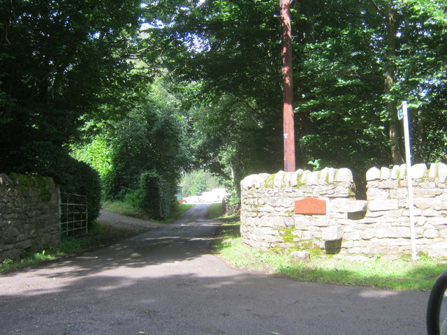
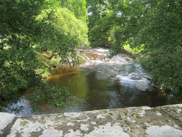
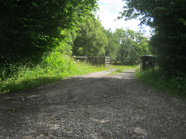
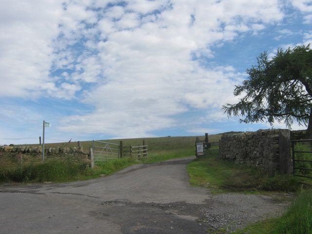
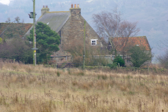
Images are sourced within 2km of 54.692159/-1.8538601 or Grid Reference NZ0933. Thanks to Geograph Open Source API. All images are credited.

Bracken Hill Plantation bounded by dry stone wall The wall bounds the southern side of the Bracken Hill Plantation with mainly birch trees on its far side. The purpose of the crudely made concrete blocks in the foreground is unknown.
Note Added 26 March 2018: - The concrete blocks have gone - no sign of them on a visit made 24 March 2018.
Bracken Hill Plantation bounded by dry stone wall
The wall bounds the southern side of the Bracken Hill Plantation with mainly birch trees on its far side. The purpose of the crudely made concrete blocks in the foreground is unknown. Note Added 26 March 2018: - The concrete blocks have gone - no sign of them on a visit made 24 March 2018.
West Shipley Farm West Shipley Farm lies over 200m above sea level standing on land named by the OS at the 1:25 000 scale as West Shipley Wood. The ground in view not far beyond is classed as access land.
West Shipley Farm
West Shipley Farm lies over 200m above sea level standing on land named by the OS at the 1:25 000 scale as West Shipley Wood. The ground in view not far beyond is classed as access land.
Access road for Carrwood Hill Farm The access road for Carrwood Hill Farm leaves a minor road, Howlea Lane, above the valley of Harthope Beck.
Access road for Carrwood Hill Farm
The access road for Carrwood Hill Farm leaves a minor road, Howlea Lane, above the valley of Harthope Beck.
Bedburn mill pond
Bedburn mill pond
Entrance to New Hall Caravan Park from Howlea Lane
Bedburn Beck east of Howlea Bridge
Entrance to Carrwood Hill Farm from Howlea Lane
Entrance to drive to High Shipley Farm from Howlea Lane
High Burnlea Farm
High Burnlea Farm
The Gateway Stone fort in county Durham near Hamsterley.
The Castles is a massive rectangular dry stone enclosure 75 metres by 90 metres. No one knows whether it is an Iron Age fort or a Roman penal colony.
The Gateway
Stone fort in county Durham near Hamsterley. The Castles is a massive rectangular dry stone enclosure 75 metres by 90 metres. No one knows whether it is an Iron Age fort or a Roman penal colony.
The Castles The north wall
The Castles
The north wall
The Castles East wall of The Castles
The Castles
East wall of The Castles
The Castles The south wall of The Castles
The Castles
The south wall of The Castles
The Castles The west wall of The Castles
The Castles
The west wall of The Castles
The Castles The north wall
The Castles
The north wall
The Castles A view of the north wall outside of The Castles
The Castles
A view of the north wall outside of The Castles
The Castles A view of the inside of The Castles
The Castles
A view of the inside of The Castles
The Castles A view of the inside of The Castles
The Castles
A view of the inside of The Castles
Show me another place!

Shull Bank Wood is located at Grid Ref: NZ0933 (Lat: 54.692159, Lng: -1.8538601)

Unitary Authority: County Durham

Police Authority: Durham

What 3 Words

///dislodge.grace.locked. Near Hamsterley, Co. Durham

Related Wikis

Bedburn

Bedburn is a village in County Durham, in England. It is in the civil parish of South Bedburn, near Hamsterley, and Hamsterley Forest. The Bedburn Beck...

South Bedburn

South Bedburn is a civil parish in County Durham, England. The population of the civil parish at the 2011 census was 171. == References == == External... ==

Hamsterley Forest

Hamsterley Forest is a commercial forest in County Durham owned and managed by Forestry England. It is the largest forest in County Durham and covers...

Low Redford Meadows

Low Redford Meadows is a Site of Special Scientific Interest in the Teesdale district of County Durham, England. It consists of two separate areas of meadows...

Nearby Amenities

Located within 500m of 54.692159,-1.8538601
Power: pole
Lat/Long: 54.6881028/-1.8522715
Power: pole
Lat/Long: 54.6887498/-1.853283
Power: pole
Lat/Long: 54.6893994/-1.8542945
Power: pole
Lat/Long: 54.690049/-1.8553239
Power: pole
Lat/Long: 54.690761/-1.8555172
Power: pole
Lat/Long: 54.6914888/-1.8557269
Power: pole
Lat/Long: 54.6924792/-1.8559855
Power: pole
Lat/Long: 54.6934947/-1.8562579
Power: pole
Lat/Long: 54.6944843/-1.8567796
Power: pole
Lat/Long: 54.6954215/-1.8572718
The data included in this document is from www.openstreetmap.org. The data is made available under ODbL.

Have you been to Shull Bank Wood?

Leave your review of Shull Bank Wood below (or comments, questions and feedback).