Knitsley Plantation
Wood, Forest in Durham
England
Knitsley Plantation
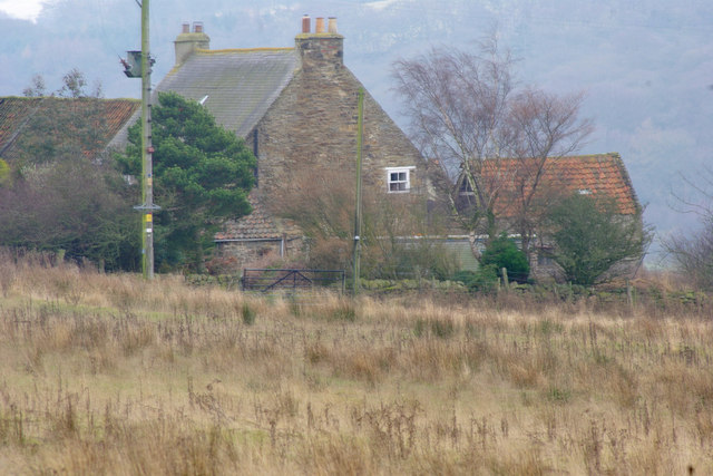
Knitsley Plantation is a picturesque woodland area located in Durham, England. Situated near the small village of Knitsley, this plantation spans over a vast expanse of approximately 500 acres. The area is primarily characterized by dense woodlands, lush forests, and rolling hills, making it a popular destination for nature enthusiasts and outdoor lovers.
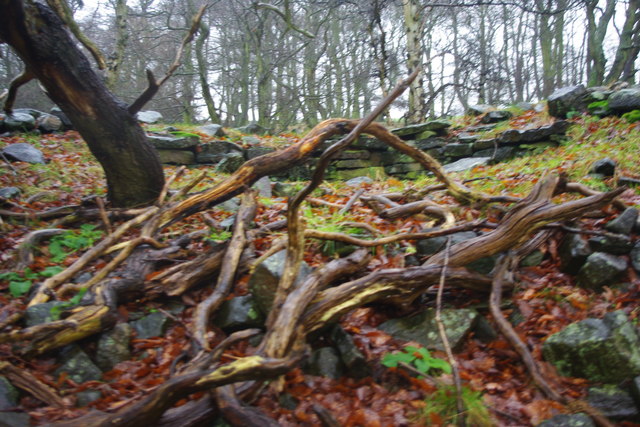
The plantation is home to a diverse range of flora and fauna, including a variety of native tree species such as oak, beech, and birch. These trees provide a habitat for numerous bird species, making it an ideal spot for birdwatching enthusiasts. Additionally, the woodland is also home to various mammals, including deer, rabbits, and squirrels.
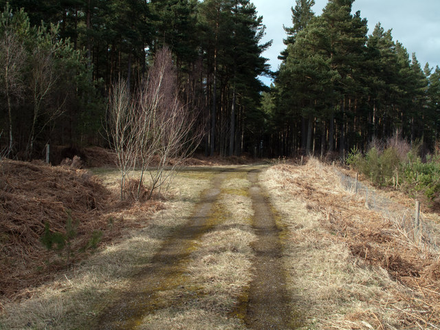
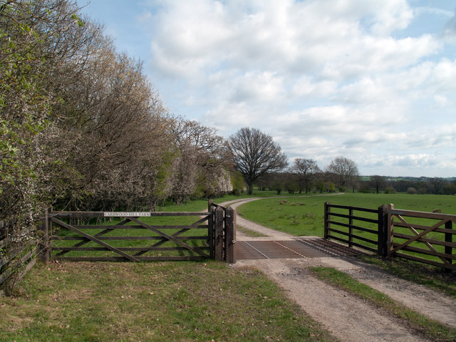
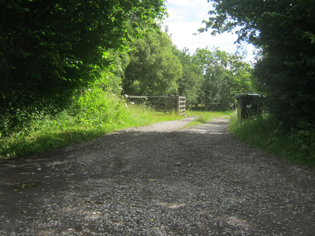
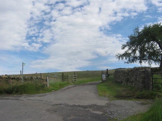
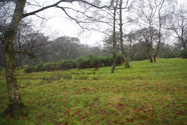
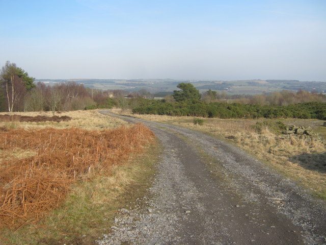
One of the standout features of Knitsley Plantation is its network of well-maintained walking trails. These paths wind through the plantation, offering visitors the opportunity to explore the area and take in its natural beauty. The trails vary in difficulty, catering to both casual walkers and more experienced hikers.
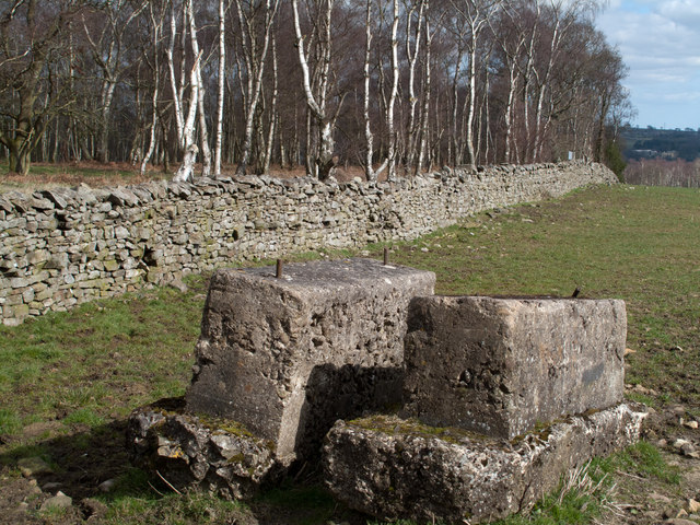
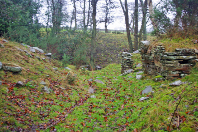
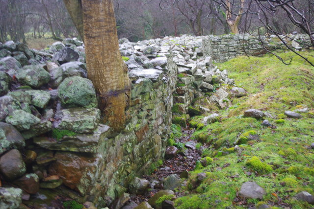
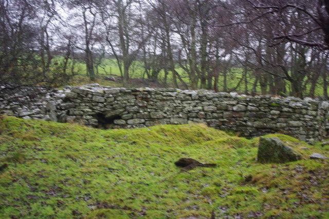
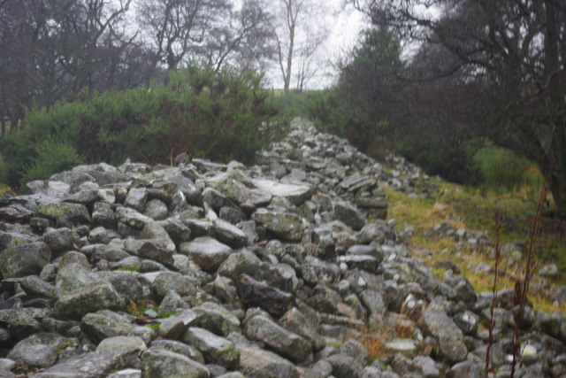
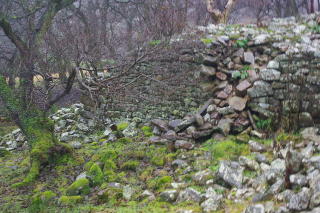
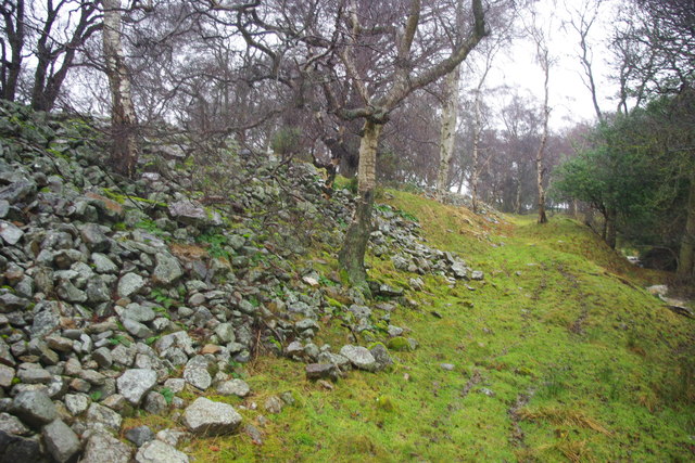
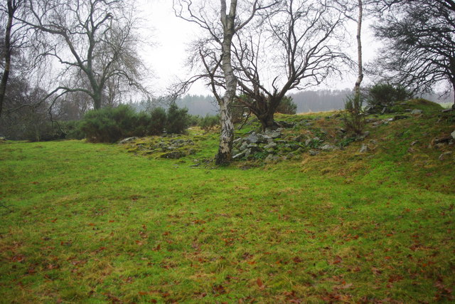
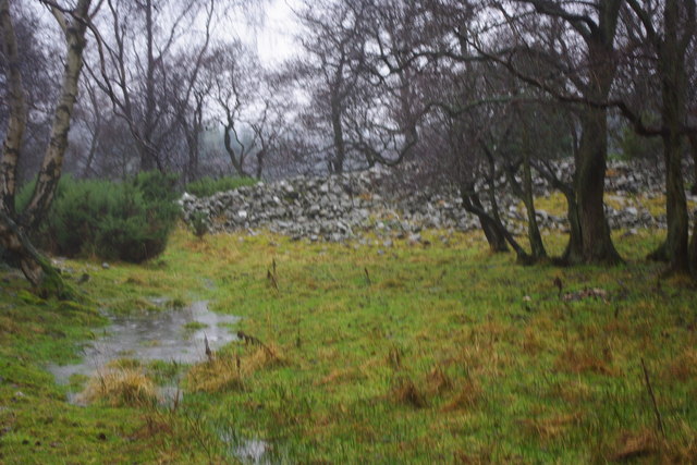
In addition to its natural beauty, Knitsley Plantation also boasts a rich history. The site has been used for centuries for timber production, and remnants of old sawmills can still be seen in certain areas. The plantation is also known for its historical associations with local industries, including coal mining and quarrying.
Overall, Knitsley Plantation is a serene and captivating destination, offering visitors the chance to immerse themselves in the beauty of nature and connect with the history of the Durham region. Whether it be for a leisurely stroll or to delve into the area's historical past, this woodland retreat offers something for everyone.
If you have any feedback on the listing, please let us know in the comments section below.
Knitsley Plantation Images
Images are sourced within 2km of 54.698155/-1.8549713 or Grid Reference NZ0933. Thanks to Geograph Open Source API. All images are credited.

Knitsley Plantation is located at Grid Ref: NZ0933 (Lat: 54.698155, Lng: -1.8549713)
Unitary Authority: County Durham
Police Authority: Durham
What 3 Words
///croaking.hush.nuance. Near Hamsterley, Co. Durham
Nearby Locations
Related Wikis

Bedburn
Bedburn is a village in County Durham, in England. It is in the civil parish of South Bedburn, near Hamsterley, and Hamsterley Forest. The Bedburn Beck...

South Bedburn
South Bedburn is a civil parish in County Durham, England. The population of the civil parish at the 2011 census was 171. == References == == External... ==
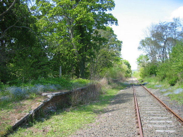
Harperley railway station
Harperley railway station served the Harperley Hall Estate and the nearby hamlet of Low Harperley, close to the village of Fir Tree in County Durham, North...
Hamsterley Forest
Hamsterley Forest is a commercial forest in County Durham owned and managed by Forestry England. It is the largest forest in County Durham and covers...
Nearby Amenities
Located within 500m of 54.698155,-1.8549713Have you been to Knitsley Plantation?
Leave your review of Knitsley Plantation below (or comments, questions and feedback).