Cordilleras Wood

Wood, Forest in Yorkshire Richmondshire

England

Cordilleras Wood

Track towards Waitgate Barn Feldom Range on a Sunday is rarely in use for those purposes defined in the Feldom Byelaws which justify the exclusion of the public (indicated by the flying of red flags or lighting of red lights). This makes it the ideal time to exploit the much-needed "presumption of public access" made clear on the MoD estates website. This track leads generally northwards from the Cordilleras road to connect up with a public right of way (still within the range area) about 1.5 kilometres ahead. Sheep graze peacefully, unconcerned that military debris "might explode and kill them" despite the fact that they are not remotely sticking to the tracks which might be expected to be rather safer.
Track towards Waitgate Barn Credit: Andy Waddington

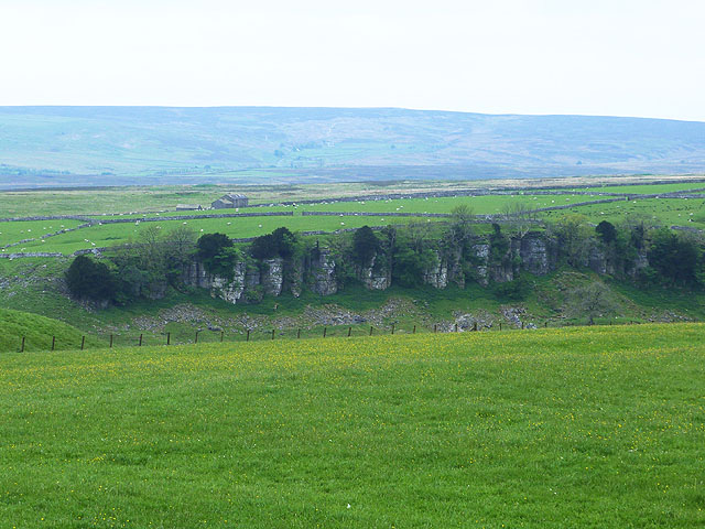
Cordilleras Wood is a picturesque woodland located in the county of Yorkshire, England. Spread across a sprawling area, this forest is known for its breathtaking beauty and rich biodiversity.

The wood is situated in the heart of the Cordilleras Valley, a region renowned for its lush green landscapes and natural wonders. The forest is primarily composed of deciduous trees such as oak, beech, and birch, which create a stunning tapestry of vibrant colors during the autumn season. The dense canopy of foliage provides a peaceful and tranquil ambiance, making it an ideal retreat for nature lovers and enthusiasts.

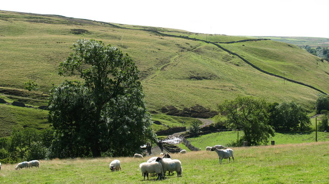
Cordilleras Wood is home to a diverse range of wildlife, including several endangered and rare species. The forest provides a habitat to numerous birds, such as owls, woodpeckers, and various songbirds. It is also inhabited by mammals like deer, foxes, and badgers, adding to the thriving ecosystem.

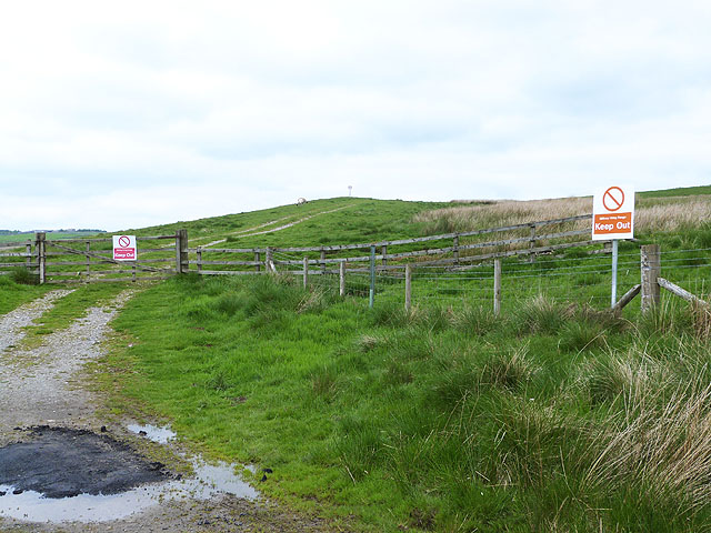
The wood offers a network of well-maintained walking trails, allowing visitors to explore its natural wonders at their own pace. These trails provide opportunities for outdoor activities like hiking, bird-watching, and photography. There are also designated picnic areas where families and friends can enjoy a day out surrounded by the beauty of nature.

Cordilleras Wood is not only a haven for flora and fauna but also holds historical significance. It is believed to have been used as a hunting ground by ancient civilizations, as evidenced by the presence of archaeological remains and artifacts found in the area.

Overall, Cordilleras Wood in Yorkshire is a captivating destination that offers a unique blend of natural beauty, wildlife, and historical significance, making it a must-visit for nature enthusiasts and those seeking tranquility amidst the wonders of the great outdoors.

If you have any feedback on the listing, please let us know in the comments section below.

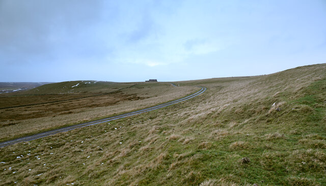
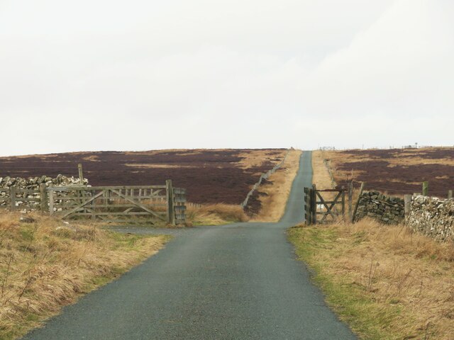
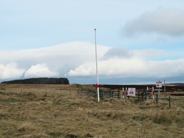
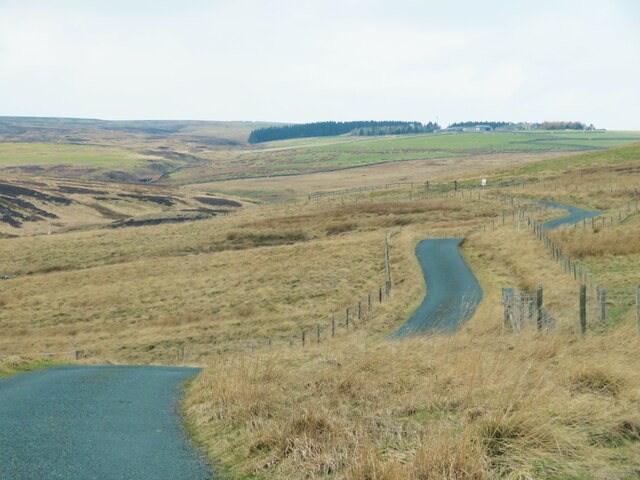
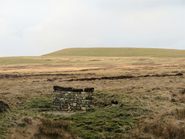
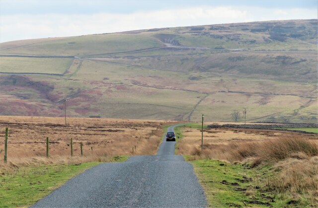
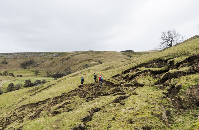
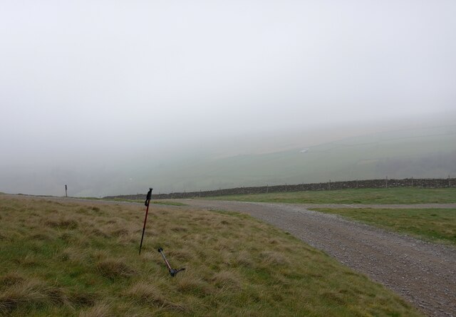
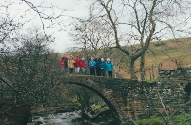
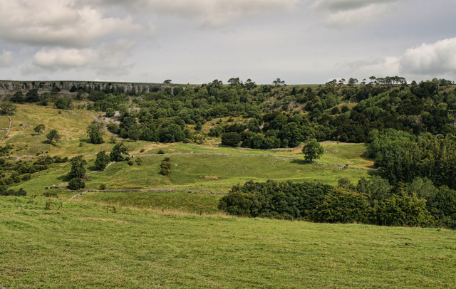
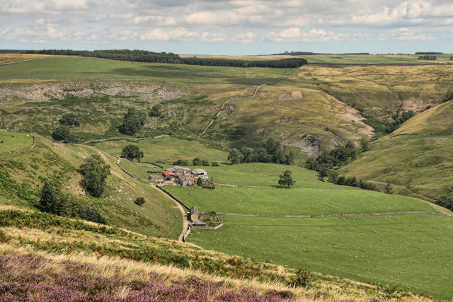
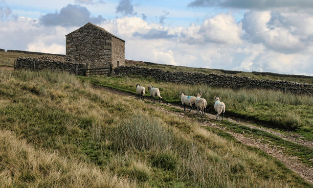
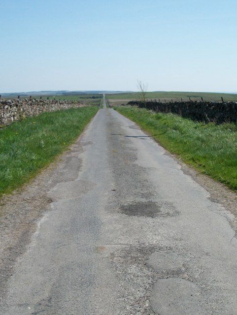
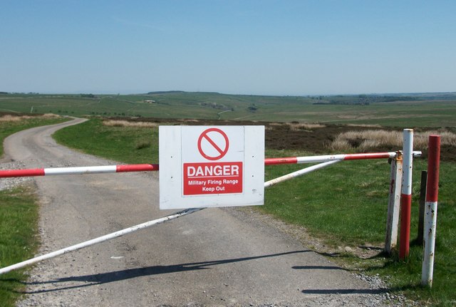
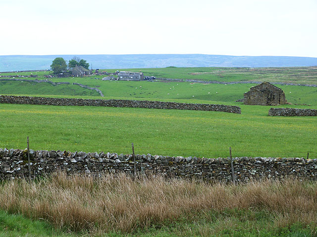
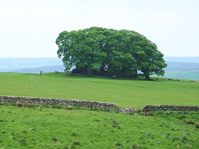
Cordilleras Wood Images

Images are sourced within 2km of 54.429738/-1.8558574 or Grid Reference NZ0903. Thanks to Geograph Open Source API. All images are credited.

Track towards Waitgate Barn Feldom Range on a Sunday is rarely in use for those purposes defined in the Feldom Byelaws which justify the exclusion of the public (indicated by the flying of red flags or lighting of red lights). This makes it the ideal time to exploit the much-needed "presumption of public access" made clear on the MoD estates website. This track leads generally northwards from the Cordilleras road to connect up with a public right of way (still within the range area) about 1.5 kilometres ahead. Sheep graze peacefully, unconcerned that military debris "might explode and kill them" despite the fact that they are not remotely sticking to the tracks which might be expected to be rather safer.
Track towards Waitgate Barn
Feldom Range on a Sunday is rarely in use for those purposes defined in the Feldom Byelaws which justify the exclusion of the public (indicated by the flying of red flags or lighting of red lights). This makes it the ideal time to exploit the much-needed "presumption of public access" made clear on the MoD estates website. This track leads generally northwards from the Cordilleras road to connect up with a public right of way (still within the range area) about 1.5 kilometres ahead. Sheep graze peacefully, unconcerned that military debris "might explode and kill them" despite the fact that they are not remotely sticking to the tracks which might be expected to be rather safer.
Cordilleras Lane Long straight road across the moor with MOD land to either side.
Cordilleras Lane
Long straight road across the moor with MOD land to either side.
Military ranges Entrance to the ranges on the east side of the Cordilleras road. Unnamed block of conifers on a nearby ridge.
Military ranges
Entrance to the ranges on the east side of the Cordilleras road. Unnamed block of conifers on a nearby ridge.
Road towards Rake Gate The photo would suggest that the road is heading towards Long Green Farm which can be seen in the distance, but this little road must follow a serpentine course down into the valley bottom before heading back to the south west. The distant farm is still more than 3 miles away by road.
Road towards Rake Gate
The photo would suggest that the road is heading towards Long Green Farm which can be seen in the distance, but this little road must follow a serpentine course down into the valley bottom before heading back to the south west. The distant farm is still more than 3 miles away by road.
Grouse butt on the moor The moorland and rough grassland here has that 'miles from anywhere' feel. This is Holgate Pasture where there are lines of grouse butts, this one looking rather new.
Grouse butt on the moor
The moorland and rough grassland here has that 'miles from anywhere' feel. This is Holgate Pasture where there are lines of grouse butts, this one looking rather new.
Heading for Helwith A lonely road across the moor to the tiny community of Helwith which is tucked into the valley bottom. Vehicles can go no further, but the other side of the valley is in more familiar territory being easily accessed from Marske or Hurst. I suspect that Helwith is a corruption of 'Helwath' as wath is a local name for a ford.
Heading for Helwith
A lonely road across the moor to the tiny community of Helwith which is tucked into the valley bottom. Vehicles can go no further, but the other side of the valley is in more familiar territory being easily accessed from Marske or Hurst. I suspect that Helwith is a corruption of 'Helwath' as wath is a local name for a ford.
Landslip in valley of Marske Beck The walking party is threading its way through blocks of broken ground on what was a clear path.
Landslip in valley of Marske Beck
The walking party is threading its way through blocks of broken ground on what was a clear path.
Skelton Moor, Munn End Gate According to the 1913 OS map, at this location there was a benchmark, likely cut into a stone or rock. Nothing was found.
Skelton Moor, Munn End Gate
According to the 1913 OS map, at this location there was a benchmark, likely cut into a stone or rock. Nothing was found.
Pack Horse bridge over Marske Beck
Clints Scar View looking across Marske Beck to Clints Scar.
Clints Scar
View looking across Marske Beck to Clints Scar.
Telfit Farm View of Telfit Farm in the valley of Marske Beck seen from Telfit Bank.
Telfit Farm
View of Telfit Farm in the valley of Marske Beck seen from Telfit Bank.
Helwith Barn above Helwith.
Helwith
Barn above Helwith.
Cordilleras Lane Running from Cordilleras Farm over Marske Moor.
Cordilleras Lane
Running from Cordilleras Farm over Marske Moor.
Keep Out Entrance to Feldom Ranges.
Keep Out
Entrance to Feldom Ranges.
Fields on either side of Waitgate Gill Kersey Green Farm can be seen on the far side of the deeply incised valley of Waitgate Gill. A ruined barn stands in the foreground.
Fields on either side of Waitgate Gill
Kersey Green Farm can be seen on the far side of the deeply incised valley of Waitgate Gill. A ruined barn stands in the foreground.
Shepherd's Hall Ruined farmhouse in a clump of trees.
Shepherd's Hall
Ruined farmhouse in a clump of trees.
Kersey Green Scar Cliffs overlooking the steeply incised valley of the Waitgate Gill.
Kersey Green Scar
Cliffs overlooking the steeply incised valley of the Waitgate Gill.
Entry to Feldom Ranges One of a number of entrances to the extensive Feldom Ranges.
Entry to Feldom Ranges
One of a number of entrances to the extensive Feldom Ranges.
Show me another place!

Cordilleras Wood is located at Grid Ref: NZ0903 (Lat: 54.429738, Lng: -1.8558574)

Division: North Riding

Administrative County: North Yorkshire

District: Richmondshire

Police Authority: North Yorkshire

What 3 Words

///retail.nips.takeovers. Near Barningham, Co. Durham

Nearby Locations

Cordilleras Wood

Related Wikis

Helwith

Helwith is a hamlet and farm in North Yorkshire, England about 6 miles north-west of Richmond. It lies in the valley of Marske Beck, a tributary of the...

Skelton, west North Yorkshire

Skelton is a small hamlet in the Richmondshire district of North Yorkshire, England. It is within the Yorkshire Dales National Park near the larger village...

New Forest, North Yorkshire

New Forest is a civil parish in the Richmondshire district of North Yorkshire, England. It lies 6 miles (10 km) west of Richmond. There is no village...

Marske, west North Yorkshire

Marske is a village and civil parish in the Richmondshire district of North Yorkshire, England, situated in lower Swaledale on the boundary of the Yorkshire...

Scott Trial

The Scott Trial is a British motorcycle trials competition dating from 1914 run over an off-road course of approximately 70 miles. One of the most challenging...

Applegarth, North Yorkshire

Applegarth is a historic settlement located north of the River Swale in Yorkshire, England. It lies about three-quarters of a mile north-east of the village...

Gayles, North Yorkshire

Gayles is a village and civil parish in the Richmondshire district of North Yorkshire, England. Gayles is established in the district ward of Gilling West...

Dalton, west North Yorkshire

Dalton is a village and civil parish in North Yorkshire in England. Dalton is situated about six miles north-west of Richmond and about five miles south...

Nearby Amenities

Located within 500m of 54.429738,-1.8558574
Cordilleras
Place: farm
Lat/Long: 54.428824/-1.8538531
Access: yes
Barrier: cattle_grid
Lat/Long: 54.4328071/-1.8567485
The data included in this document is from www.openstreetmap.org. The data is made available under ODbL.

Have you been to Cordilleras Wood?

Leave your review of Cordilleras Wood below (or comments, questions and feedback).