Shull Wood
Wood, Forest in Durham
England
Shull Wood

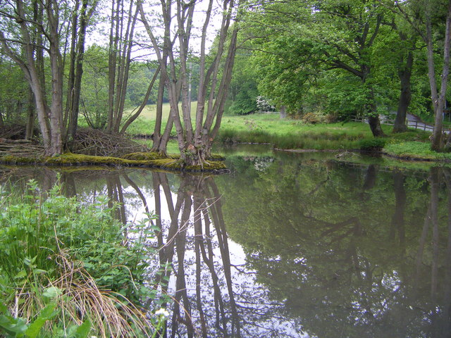
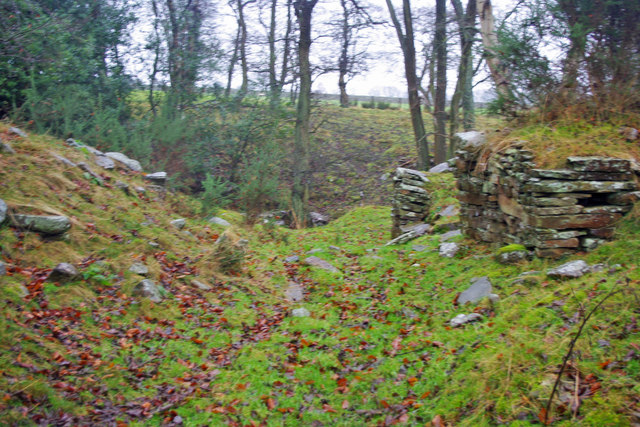
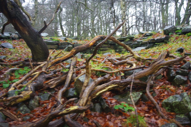
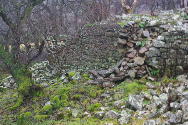
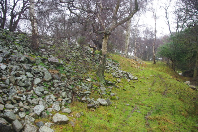
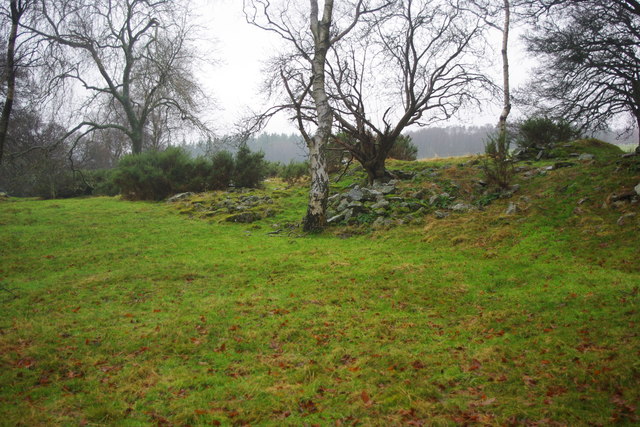
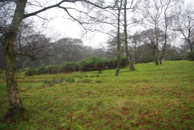
Shull Wood, located in Durham, is a picturesque forest that covers a vast area of land. It is a popular destination for nature enthusiasts, hikers, and birdwatchers due to its diverse flora and fauna. The wood is situated in close proximity to the city, making it easily accessible to visitors.
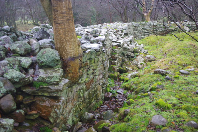
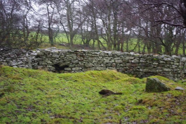
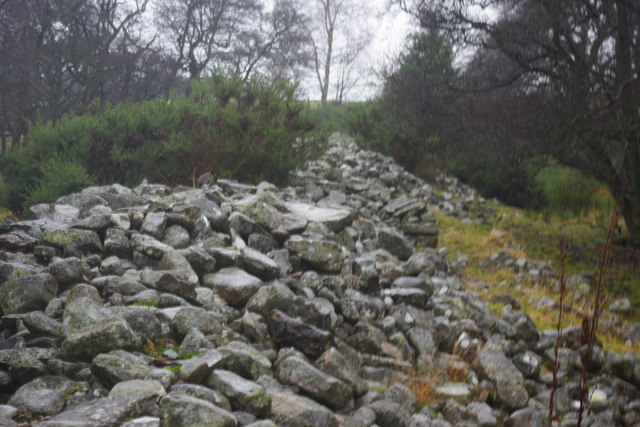
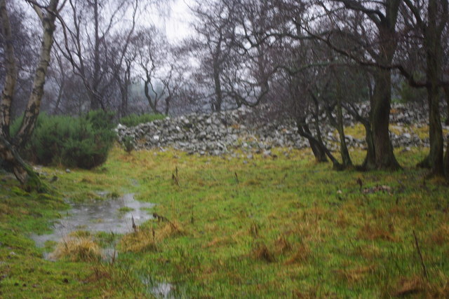
The forest is known for its dense vegetation, consisting of various species of trees such as oak, beech, and birch. These trees create a vibrant canopy, providing shade and shelter for a wide range of wildlife. Shull Wood is home to numerous bird species, including woodpeckers, owls, and songbirds, making it a haven for birdwatchers who can spot and identify different species.
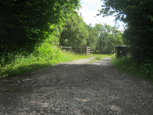
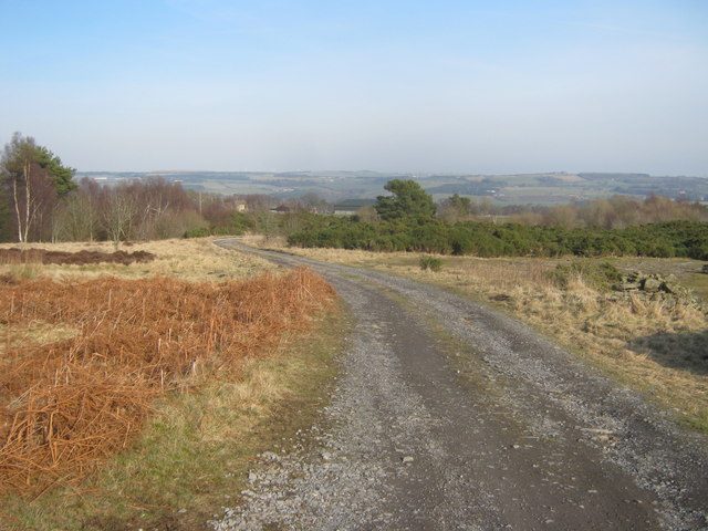
The wood is crisscrossed by several well-maintained trails, which allow visitors to explore the forest and immerse themselves in its natural beauty. These trails offer opportunities for hiking, jogging, or simply enjoying a peaceful walk amidst the tranquil surroundings. The forest also features a small picnic area where visitors can relax and enjoy a meal amidst nature.
Shull Wood is not only a recreational space but also serves as an important ecological habitat. The forest plays a crucial role in maintaining the local ecosystem, supporting a variety of plant and animal life. It is also a valuable carbon sink, contributing to the reduction of greenhouse gases and mitigating the effects of climate change.
Overall, Shull Wood in Durham offers a serene and scenic escape from city life, providing a perfect setting for outdoor activities and nature appreciation.
If you have any feedback on the listing, please let us know in the comments section below.
Shull Wood Images
Images are sourced within 2km of 54.694944/-1.8600405 or Grid Reference NZ0933. Thanks to Geograph Open Source API. All images are credited.


Shull Wood is located at Grid Ref: NZ0933 (Lat: 54.694944, Lng: -1.8600405)
Unitary Authority: County Durham
Police Authority: Durham
What 3 Words
///sparkle.nurture.ambushes. Near Hamsterley, Co. Durham
Nearby Locations
Related Wikis

Bedburn
Bedburn is a village in County Durham, in England. It is in the civil parish of South Bedburn, near Hamsterley, and Hamsterley Forest. The Bedburn Beck...

South Bedburn
South Bedburn is a civil parish in County Durham, England. The population of the civil parish at the 2011 census was 171. == References == == External... ==
Hamsterley Forest
Hamsterley Forest is a commercial forest in County Durham owned and managed by Forestry England. It is the largest forest in County Durham and covers...
Low Redford Meadows
Low Redford Meadows is a Site of Special Scientific Interest in the Teesdale district of County Durham, England. It consists of two separate areas of meadows...
Harperley railway station
Harperley railway station served the Harperley Hall Estate and the nearby hamlet of Low Harperley, close to the village of Fir Tree in County Durham, North...

County Durham
County Durham, officially simply Durham (/ˈdʌrəm/), is a ceremonial county in North East England. The county borders Northumberland and Tyne and Wear to...
Frog Wood Bog
Frog Wood Bog is a Site of Special Scientific Interest in the Teesdale district of County Durham, England. It lies alongside Bedburn Beck, approximately...
Hamsterley, Bishop Auckland
Hamsterley is a village in County Durham, England. It is situated a few miles west of Bishop Auckland. The village lies on a rise above the upper reaches...
Nearby Amenities
Located within 500m of 54.694944,-1.8600405Have you been to Shull Wood?
Leave your review of Shull Wood below (or comments, questions and feedback).