Grevy Field
Wood, Forest in Staffordshire East Staffordshire
England
Grevy Field

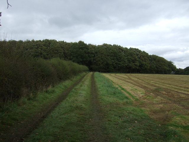
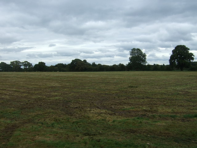
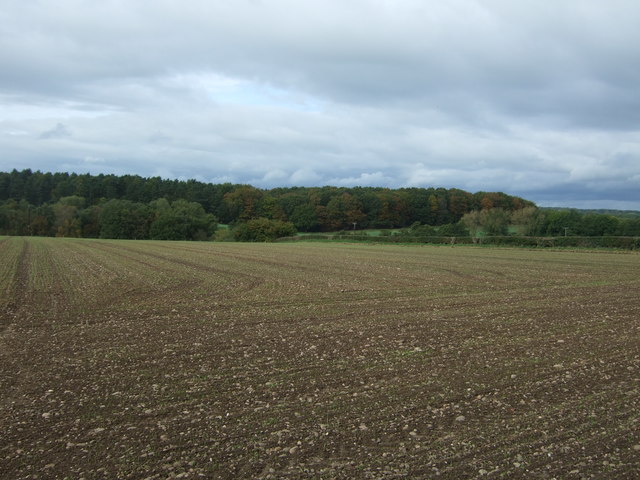
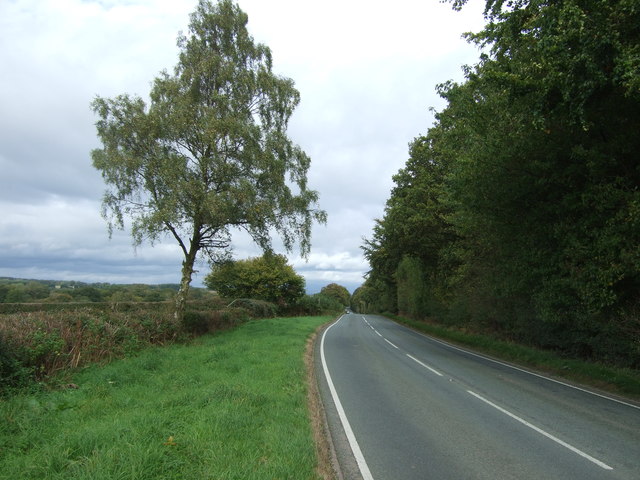
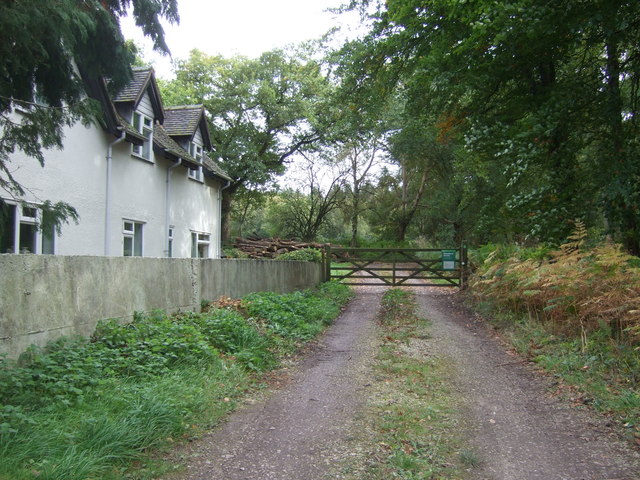
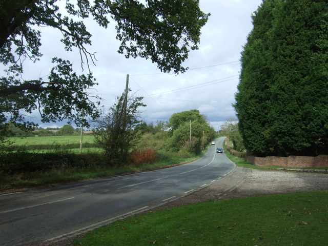
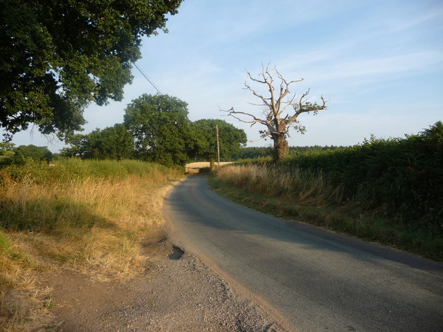
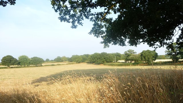
Grevy Field is a picturesque wooded area located in the county of Staffordshire, England. It is situated within the larger Staffordshire Woodland, a vast forest that covers several thousand acres of land. Grevy Field is known for its natural beauty and tranquil surroundings, making it a popular destination for nature lovers and outdoor enthusiasts.
The woodland in Grevy Field is characterized by a diverse range of trees, including oak, beech, and birch, which create a dense canopy overhead. This provides a unique habitat for a variety of wildlife, including deer, foxes, and a wide array of bird species. The forest floor is covered in a thick layer of moss and ferns, creating an enchanting and peaceful atmosphere.
Visitors to Grevy Field can enjoy a number of activities, such as hiking, birdwatching, and photography. There are several well-marked trails that wind through the woodland, offering different levels of difficulty to suit all abilities. These trails provide stunning views of the surrounding landscape, including rolling hills and meandering streams.
The area is also home to a number of historical landmarks, including ancient burial mounds and remnants of old settlements. These archaeological sites add an extra layer of intrigue to the natural beauty of Grevy Field.
Overall, Grevy Field in Staffordshire offers a serene and idyllic escape from the hustle and bustle of everyday life. With its stunning woodland scenery, abundant wildlife, and rich history, it is a destination that is sure to captivate and inspire all who visit.
If you have any feedback on the listing, please let us know in the comments section below.
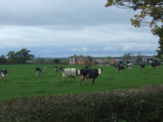
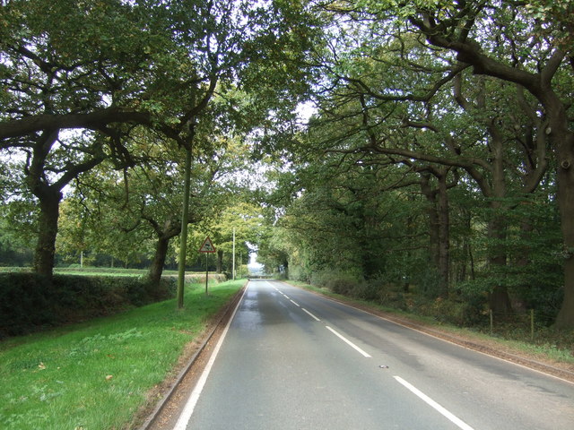
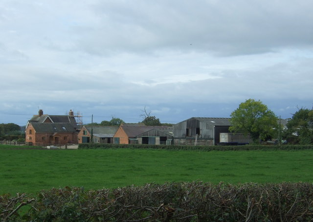
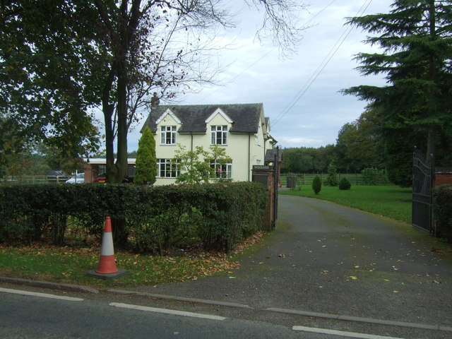
Grevy Field Images
Images are sourced within 2km of 52.848433/-1.8889511 or Grid Reference SK0727. Thanks to Geograph Open Source API. All images are credited.


Grevy Field is located at Grid Ref: SK0727 (Lat: 52.848433, Lng: -1.8889511)
Administrative County: Staffordshire
District: East Staffordshire
Police Authority: Staffordshire
What 3 Words
///senders.agree.brimmed. Near Abbots Bromley, Staffordshire
Nearby Locations
Related Wikis

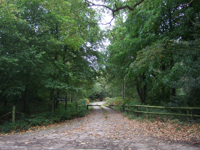
Bagot's Wood
Bagot's Wood is the largest extant piece of the ancient Needwood Forest, located near to Abbots Bromley, in Staffordshire, England. The forest derives...

Kingstone, Staffordshire
Kingstone is a village and civil parish within the English county of Staffordshire. == Population == The 2011 census recorded a population of 629 in 249...

RAF Abbots Bromley
RAF Abbots Bromley is a former Royal Air Force Relief Landing Ground (RLG) located 0.7 miles (1.1 km) north-west of the village of Abbots Bromley, Staffordshire...

Abbots Bromley
Abbots Bromley is a village and civil parish in the East Staffordshire district of Staffordshire and lies approximately 9.8 miles (15.8 km) east of Stafford...

Abbots Bromley School
Abbots Bromley School (previously the School of S. Mary and S. Anne, Abbots Bromley before becoming Abbots Bromley School for Girls) was a coeducational...
St John's Church, Marchington Woodlands
St. John's Church, Marchington Woodlands is a parish church in Marchington Woodlands, Staffordshire, United Kingdom. Built in 1859, this small country...

Grindley railway station
Grindley railway station was a former British railway station to serve the village of Grindley in Staffordshire. It was opened by the Stafford and Uttoxeter...

Marchington Woodlands
Marchington Woodlands is a village and former civil parish, now in the parish of Marchington, in the East Staffordshire district, in the county of Staffordshire...
Have you been to Grevy Field?
Leave your review of Grevy Field below (or comments, questions and feedback).