Bagot Forest

Wood, Forest in Staffordshire East Staffordshire

England

Bagot Forest

Ordnance Survey Flush Bracket G3872 This can be found on the wall of a private dwelling at Bagot's Bromley Cottages.
For more detail see : <span class="nowrap"><a title="http://www.bench-marks.org.uk/bm10782" rel="nofollow ugc noopener" href="http://www.bench-marks.org.uk/bm10782">Link</a><img style="margin-left:2px;" alt="External link" title="External link - shift click to open in new window" src="https://s1.geograph.org.uk/img/external.png" width="10" height="10"/></span>
Ordnance Survey Flush Bracket G3872 Credit: Peter Wood

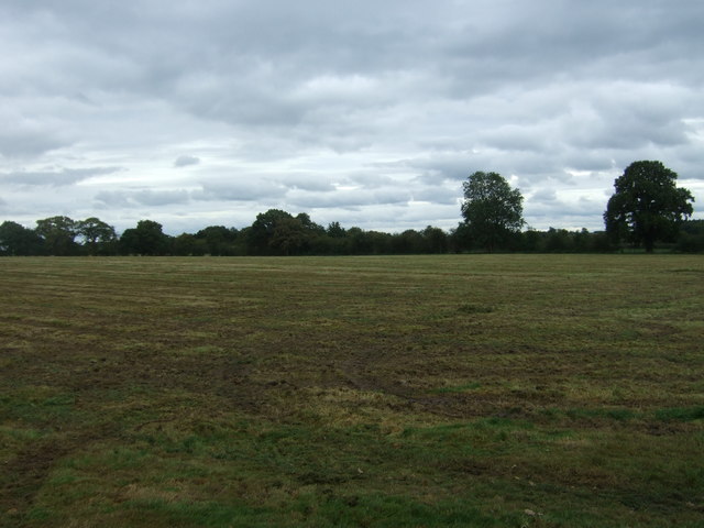
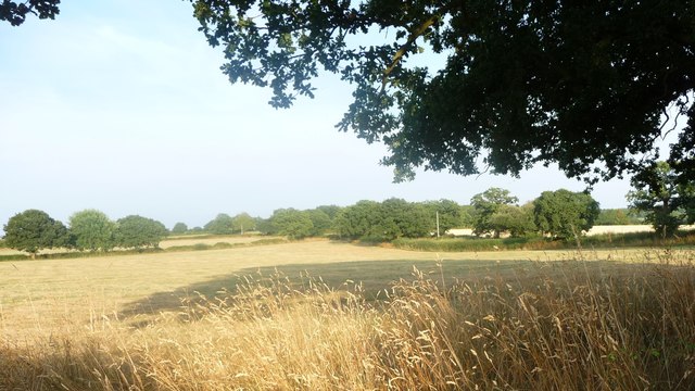
Bagot Forest is a woodland located in the county of Staffordshire, England. It covers an area of approximately 200 hectares and is situated near the village of Abbots Bromley. The forest is predominantly composed of deciduous trees, with oak, beech, and birch being the most common species found within its boundaries.

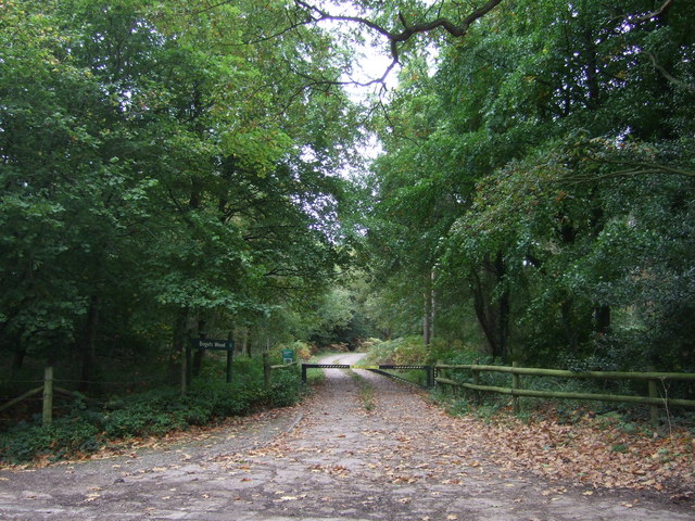
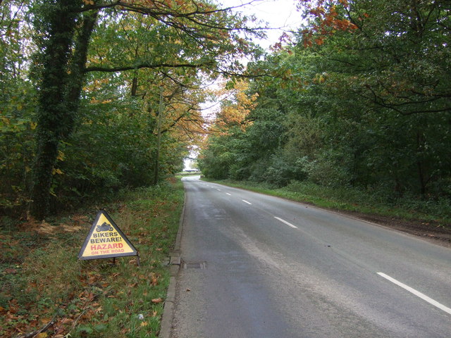
Bagot Forest has a rich history, with records dating back to the 12th century when it was once part of the Bagot Estate. The forest was traditionally used as a hunting ground by the Bagot family, who owned the land for several centuries. Today, it is managed by the Forestry Commission and is open to the public for recreational activities such as walking, cycling, and horseback riding.

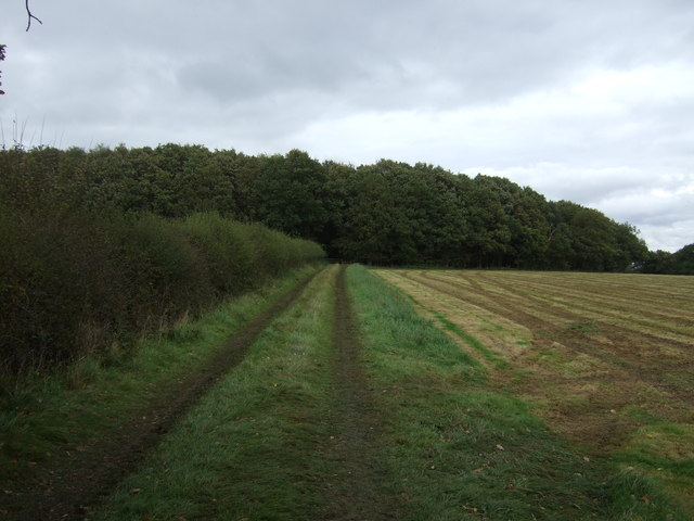
The woodland is home to a diverse range of wildlife, including deer, squirrels, and various bird species. It provides a habitat for many rare and protected species, making it an important site for conservation. The forest also features several walking trails that allow visitors to explore its natural beauty and immerse themselves in the tranquility of the surroundings.

Bagot Forest is known for its scenic beauty, with picturesque views of rolling hills and meandering streams. It offers a peaceful retreat for nature lovers and outdoor enthusiasts, providing an opportunity to escape the hustle and bustle of everyday life. Whether it's a leisurely stroll through the woods or a more adventurous hike, Bagot Forest offers something for everyone to enjoy.

If you have any feedback on the listing, please let us know in the comments section below.
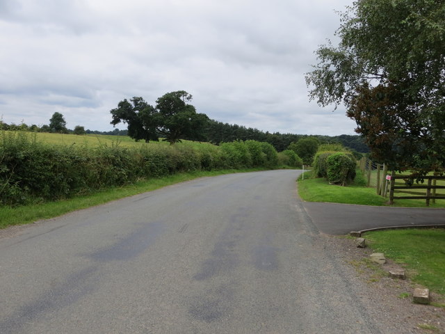
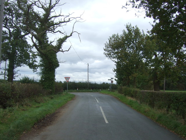
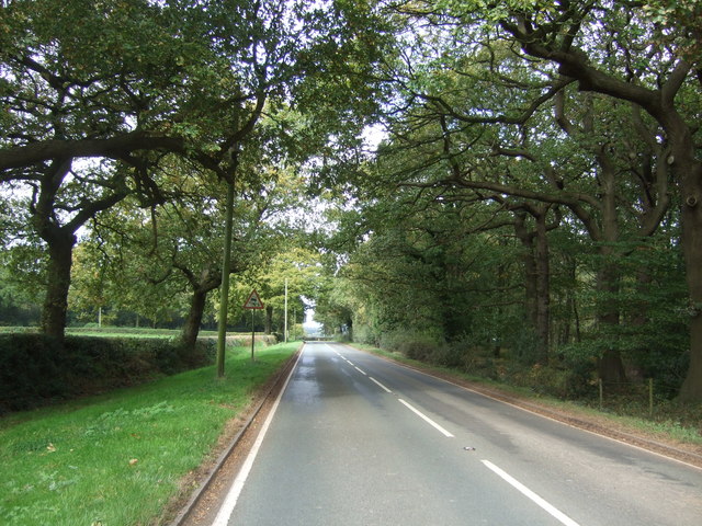
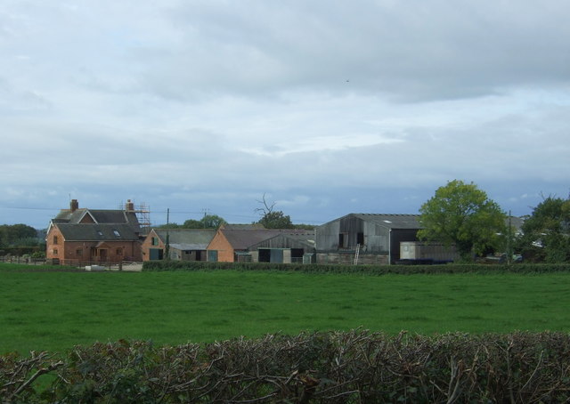
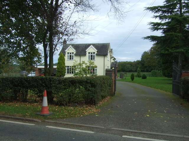
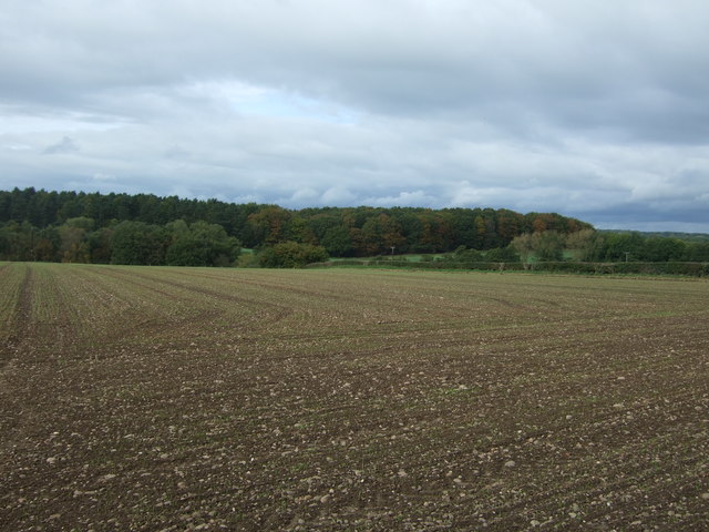
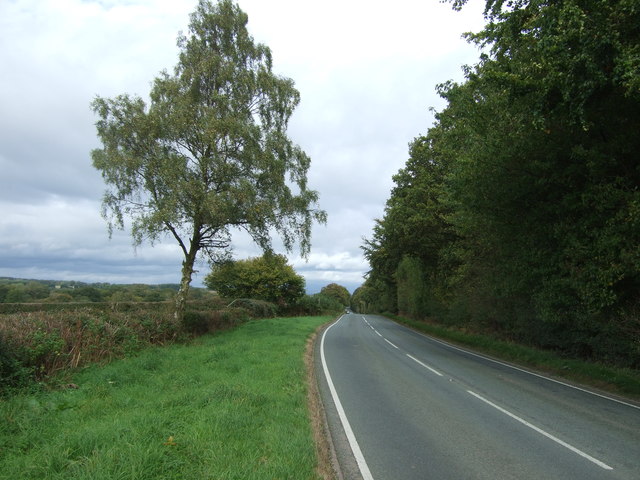
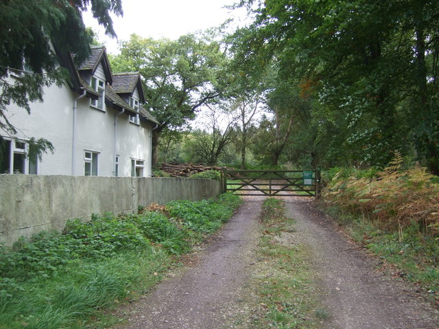
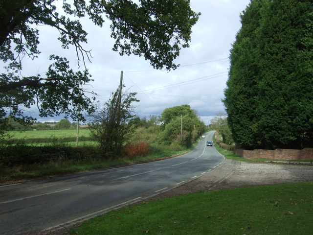
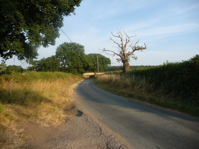
Bagot Forest Images

Images are sourced within 2km of 52.843158/-1.8900632 or Grid Reference SK0727. Thanks to Geograph Open Source API. All images are credited.

Ordnance Survey Flush Bracket G3872 This can be found on the wall of a private dwelling at Bagot's Bromley Cottages.
For more detail see : <span class="nowrap"><a title="http://www.bench-marks.org.uk/bm10782" rel="nofollow ugc noopener" href="http://www.bench-marks.org.uk/bm10782">Link</a><img style="margin-left:2px;" alt="External link" title="External link - shift click to open in new window" src="https://s1.geograph.org.uk/img/external.png" width="10" height="10"/></span>
Ordnance Survey Flush Bracket G3872
This can be found on the wall of a private dwelling at Bagot's Bromley Cottages. For more detail see : LinkExternal link
Newton Hurst Lane at Bagot's Bromley Cottages Looking westward.
Newton Hurst Lane at Bagot's Bromley Cottages
Looking westward.
Field and Woodland View at Bagots Park Triangulation Pillar Looking eastward.
Field and Woodland View at Bagots Park Triangulation Pillar
Looking eastward.
Junction of Newton Hurst Lane with the B5013 Looking south east.
Junction of Newton Hurst Lane with the B5013
Looking south east.
Track towards Cook's Coppice
Field near Cook's Coppice Off the B5013.
Field near Cook's Coppice
Off the B5013.
Track into Bagots Wood Off the B5013.
Track into Bagots Wood
Off the B5013.
B5013 towards Uttoxeter Looking north west beside Bagots Wood.
B5013 towards Uttoxeter
Looking north west beside Bagots Wood.
Cattle towards Heatley Bank Farm Off the B5013.
Cattle towards Heatley Bank Farm
Off the B5013.
B5013 towards Uttoxeter  Looking north west beside woodland.
B5013 towards Uttoxeter
Looking north west beside woodland.
Heatley Bank Farm
Heatley Bank Farm
Woodside House on the B5013.
Woodside
House on the B5013.
Large field off the B5013 Towards a distant Kingstone Wood.
Large field off the B5013
Towards a distant Kingstone Wood.
B5013 towards Uttoxeter Looking north east beside the Bagot Forest.
B5013 towards Uttoxeter
Looking north east beside the Bagot Forest.
Track into the Bagot Forest Off the B5013.
Track into the Bagot Forest
Off the B5013.
B5013 towards Uttoxeter  Looking north.
B5013 towards Uttoxeter
Looking north.
Hobb Lane, heading eastwards from the B5013 Compare with <a href="https://www.geograph.org.uk/photo/2537079">SK0729 : View down Hobb Lane</a> to see the difference a hot, dry July makes. A civil parish boundary runs down the middle of the lane.
Hobb Lane, heading eastwards from the B5013
Compare with SK0729 : View down Hobb Lane to see the difference a hot, dry July makes. A civil parish boundary runs down the middle of the lane.
Evening tree shadow, north of Hobb Lane Hobb Lane runs between the doube hedgerow on the right.
Evening tree shadow, north of Hobb Lane
Hobb Lane runs between the doube hedgerow on the right.
Show me another place!

Bagot Forest is located at Grid Ref: SK0727 (Lat: 52.843158, Lng: -1.8900632)

Administrative County: Staffordshire

District: East Staffordshire

Police Authority: Staffordshire

What 3 Words

///servers.today.brilliant. Near Abbots Bromley, Staffordshire

Related Wikis

Have you been to Bagot Forest?

Leave your review of Bagot Forest below (or comments, questions and feedback).