Peas' Field
Wood, Forest in Staffordshire East Staffordshire
England
Peas' Field
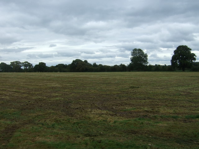
Peas' Field is a picturesque woodland situated in Staffordshire, England. Covering an area of approximately 50 acres, this enchanting forest is a haven for nature enthusiasts and outdoor adventurers alike.
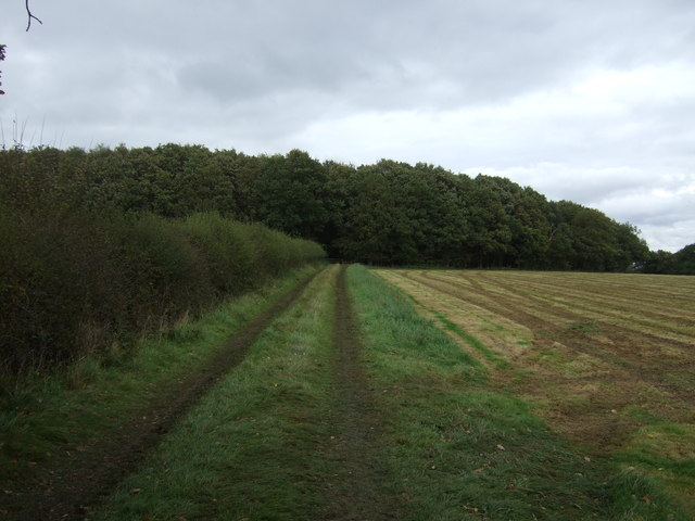
The woodland is characterized by its dense canopy of towering trees, predominantly consisting of oak, beech, and birch. The foliage creates a captivating green canopy that offers a sense of tranquility and seclusion. The forest floor is adorned with a carpet of vibrant wildflowers, ferns, and mosses, creating a rich tapestry of colors and textures.
Peas' Field is home to a diverse range of wildlife, making it a popular destination for birdwatchers and nature photographers. Visitors may spot various species of birds, including woodpeckers, owls, and thrushes, as well as small mammals like foxes, rabbits, and squirrels.
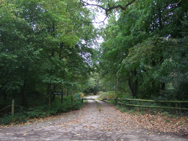
The woodland offers a network of well-maintained trails, making it ideal for hiking, jogging, or simply strolling amidst nature. These paths wind their way through the forest, meandering past bubbling brooks, small ponds, and hidden clearings. Along the way, visitors can also discover charming wooden bridges, adding to the rustic charm of Peas' Field.
Peas' Field is a haven for those seeking respite from the busyness of modern life. Its serene atmosphere and breathtaking beauty make it a perfect destination for those looking to reconnect with nature and enjoy the tranquility of the Staffordshire countryside.
If you have any feedback on the listing, please let us know in the comments section below.
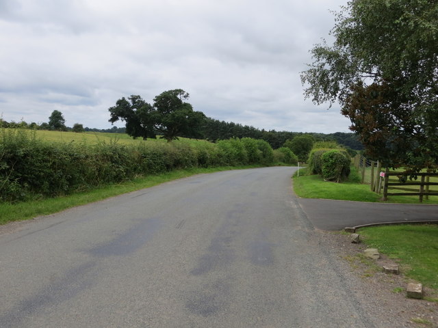
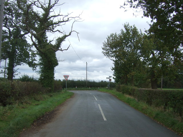
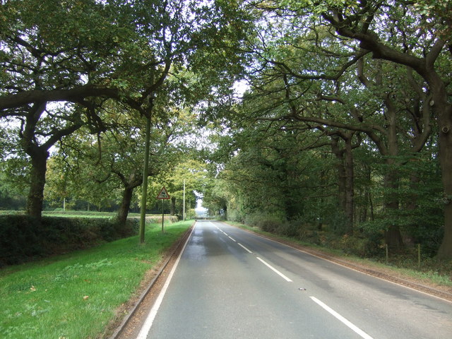
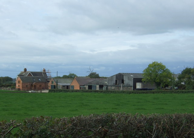
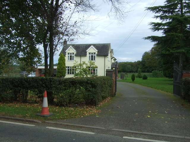
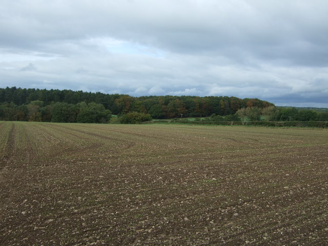
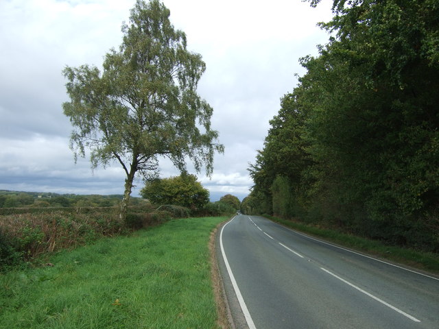
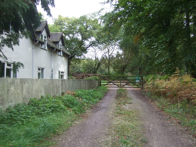
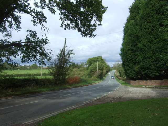
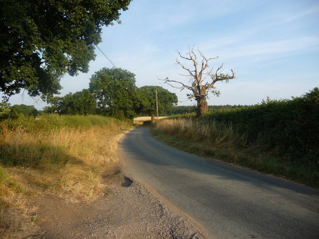
Peas' Field Images
Images are sourced within 2km of 52.84603/-1.8955793 or Grid Reference SK0727. Thanks to Geograph Open Source API. All images are credited.


Peas' Field is located at Grid Ref: SK0727 (Lat: 52.84603, Lng: -1.8955793)
Administrative County: Staffordshire
District: East Staffordshire
Police Authority: Staffordshire
What 3 Words
///handfuls.skirt.shapes. Near Abbots Bromley, Staffordshire
Related Wikis

Bagot's Wood
Bagot's Wood is the largest extant piece of the ancient Needwood Forest, located near to Abbots Bromley, in Staffordshire, England. The forest derives...

Kingstone, Staffordshire
Kingstone is a village and civil parish within the English county of Staffordshire. == Population == The 2011 census recorded a population of 629 in 249...

RAF Abbots Bromley
RAF Abbots Bromley is a former Royal Air Force Relief Landing Ground (RLG) located 0.7 miles (1.1 km) north-west of the village of Abbots Bromley, Staffordshire...

Abbots Bromley
Abbots Bromley is a village and civil parish in the East Staffordshire district of Staffordshire and lies approximately 9.8 miles (15.8 km) east of Stafford...

Abbots Bromley School
Abbots Bromley School (previously the School of S. Mary and S. Anne, Abbots Bromley before becoming Abbots Bromley School for Girls) was a coeducational...

Grindley railway station
Grindley railway station was a former British railway station to serve the village of Grindley in Staffordshire. It was opened by the Stafford and Uttoxeter...
St John's Church, Marchington Woodlands
St. John's Church, Marchington Woodlands is a parish church in Marchington Woodlands, Staffordshire, United Kingdom. Built in 1859, this small country...

Blithfield Reservoir
Blithfield Reservoir is a large raw water reservoir in Staffordshire, England, owned by South Staffordshire Water. Some 800 acres (324 hectares) of reservoir...
Nearby Amenities
Located within 500m of 52.84603,-1.8955793Have you been to Peas' Field?
Leave your review of Peas' Field below (or comments, questions and feedback).