Little Grevy Field
Wood, Forest in Staffordshire East Staffordshire
England
Little Grevy Field
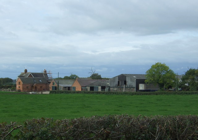
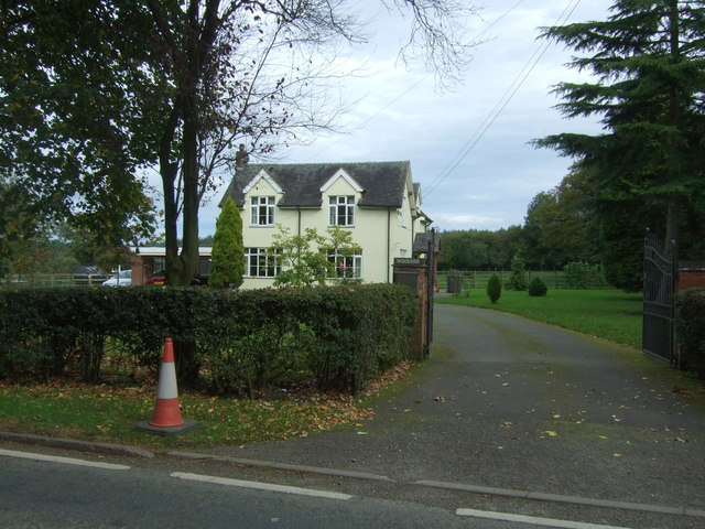
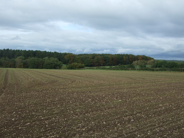
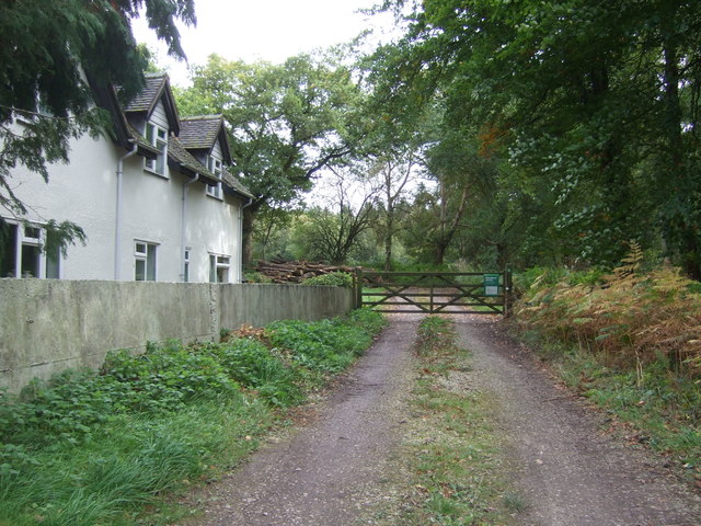
Little Grevy Field is a small wooded area located in Staffordshire, England. Situated within the larger Staffordshire Forest, this idyllic spot is known for its lush greenery and serene atmosphere. The field is named after the Grevy oak tree, which can be found in abundance throughout the area.
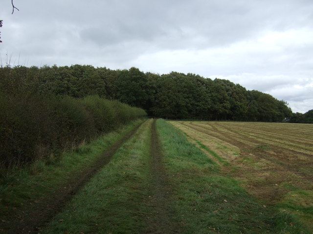
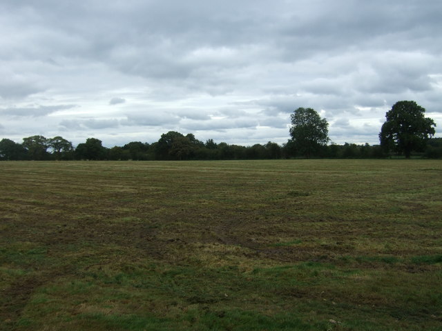
Covering an area of approximately 10 acres, Little Grevy Field is home to a diverse range of flora and fauna. The woodland is characterized by its dense canopy of oak, beech, and birch trees, which provide ample shade and a habitat for various bird species. The forest floor is carpeted with a rich layer of mosses, ferns, and wildflowers, adding to the area's natural charm.
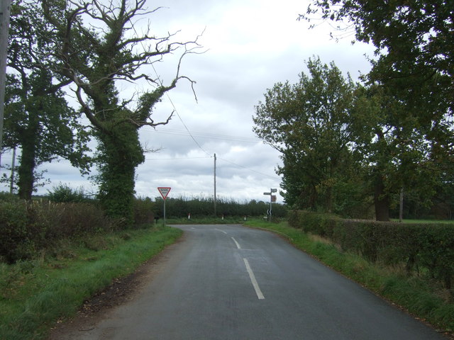
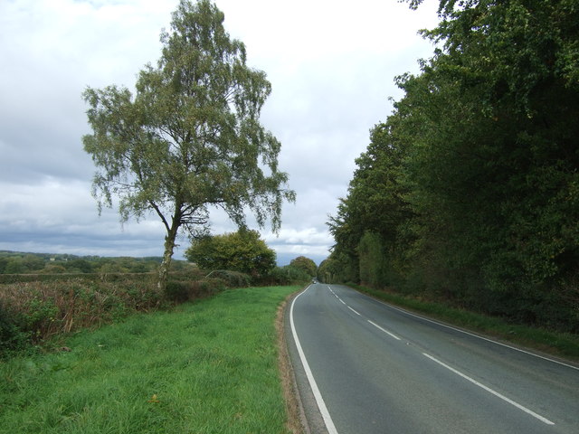
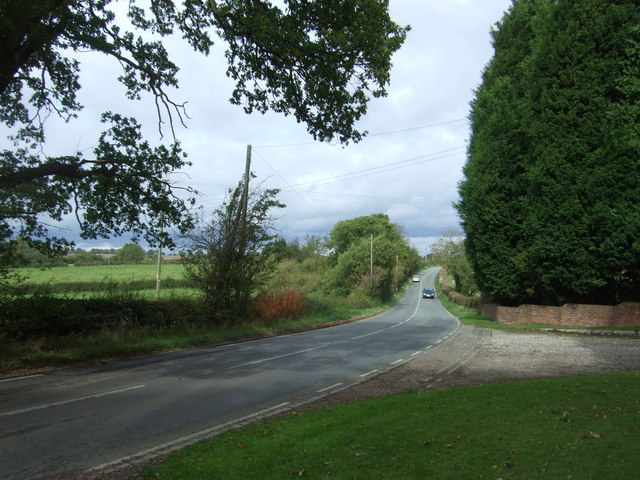
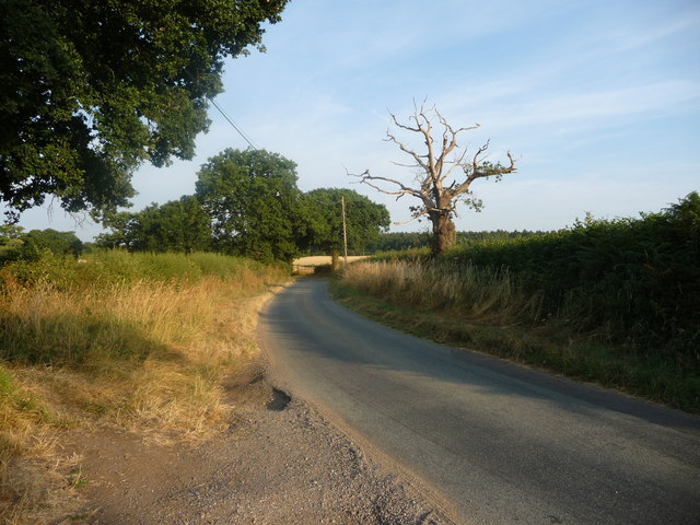
The field is a popular destination for nature enthusiasts and walkers, who can enjoy the tranquil surroundings and take in the beauty of the woodland. Several walking trails crisscross the area, allowing visitors to explore the forest at their own pace. Along these trails, one can encounter wildlife such as squirrels, rabbits, and a variety of bird species.
Little Grevy Field is also home to a small pond, which serves as a watering hole for local wildlife. The pond is teeming with aquatic plants and is a haven for frogs, newts, and dragonflies. Visitors can sit by the pond and observe these creatures in their natural habitat.
Overall, Little Grevy Field is a hidden gem in Staffordshire, providing a peaceful retreat for those seeking solace in nature. Its picturesque woodland, diverse wildlife, and tranquil ambiance make it a must-visit destination for nature lovers and those looking to escape the hustle and bustle of everyday life.
If you have any feedback on the listing, please let us know in the comments section below.
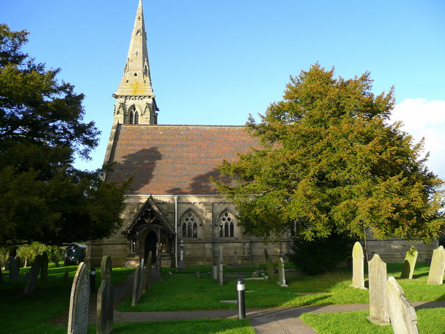
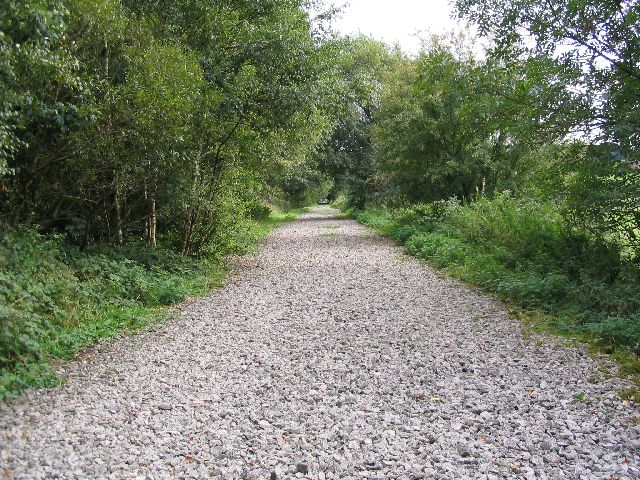
Little Grevy Field Images
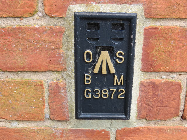
Images are sourced within 2km of 52.843701/-1.8847021 or Grid Reference SK0727. Thanks to Geograph Open Source API. All images are credited.


Little Grevy Field is located at Grid Ref: SK0727 (Lat: 52.843701, Lng: -1.8847021)
Administrative County: Staffordshire
District: East Staffordshire
Police Authority: Staffordshire
What 3 Words
///decays.rosier.cluttered. Near Abbots Bromley, Staffordshire
Related Wikis

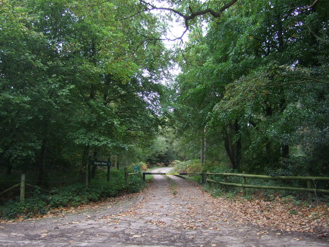
Bagot's Wood
Bagot's Wood is the largest extant piece of the ancient Needwood Forest, located near to Abbots Bromley, in Staffordshire, England. The forest derives...

RAF Abbots Bromley
RAF Abbots Bromley is a former Royal Air Force Relief Landing Ground (RLG) located 0.7 miles (1.1 km) north-west of the village of Abbots Bromley, Staffordshire...

Kingstone, Staffordshire
Kingstone is a village and civil parish within the English county of Staffordshire. == Population == The 2011 census recorded a population of 629 in 249...

Abbots Bromley
Abbots Bromley is a village and civil parish in the East Staffordshire district of Staffordshire and lies approximately 9.8 miles (15.8 km) east of Stafford...

Abbots Bromley School
Abbots Bromley School (previously the School of S. Mary and S. Anne, Abbots Bromley before becoming Abbots Bromley School for Girls) was a coeducational...
St John's Church, Marchington Woodlands
St. John's Church, Marchington Woodlands is a parish church in Marchington Woodlands, Staffordshire, United Kingdom. Built in 1859, this small country...

Marchington Woodlands
Marchington Woodlands is a village and former civil parish, now in the parish of Marchington, in the East Staffordshire district, in the county of Staffordshire...
Staffordshire Way
The Staffordshire Way is a long-distance walk in Staffordshire, England. The path links with the Cheshire Gritstone Trail, the Heart of England Way and...
Related Videos

Day 9 The Macmillan Cross Britain Way HS2 Railway Hiking Coast to Coast Overgrown route Wild camping
Filmed on the 23/08/2017 since then my video skills and equipment has improved alot :) Locations on this episode Braken Hurst ...

Abbots Bromley 5.5 mile walk
Country Walking Route 8 from June 2018 (linnk Below) a 5.5 mile circular route around Abbots Bromley in Staffordshire. This is an ...

Jon's Time Travel Sky 74 Sunrise to Sunset on Water - Blithfield Reservoir
Hello and Welcome This is a Time Lapse of the Sun rising to the Sun setting on 13/01/23. I went back to Blithfield Reservoir in ...
Abbots Bromley airfield by Robin DR401 155CDI
Abbots Bromley airfield in Staffordshire is one of the gems of general aviation in England. There is smooth grass, quiet lanes and ...
Have you been to Little Grevy Field?
Leave your review of Little Grevy Field below (or comments, questions and feedback).