Jordan's Croft
Wood, Forest in Staffordshire East Staffordshire
England
Jordan's Croft
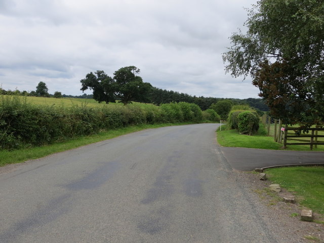
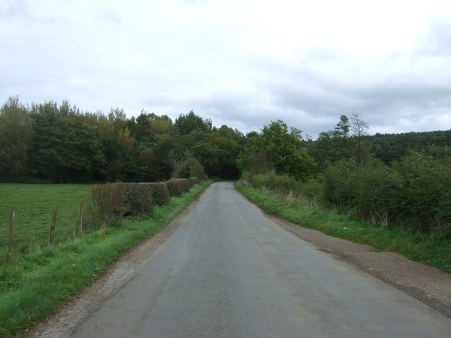
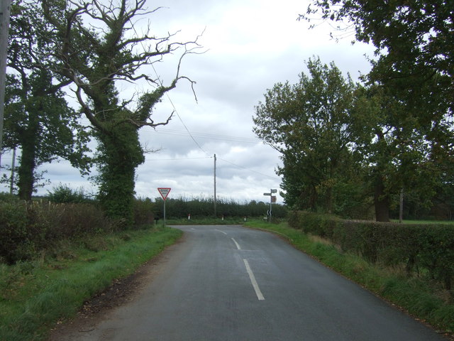
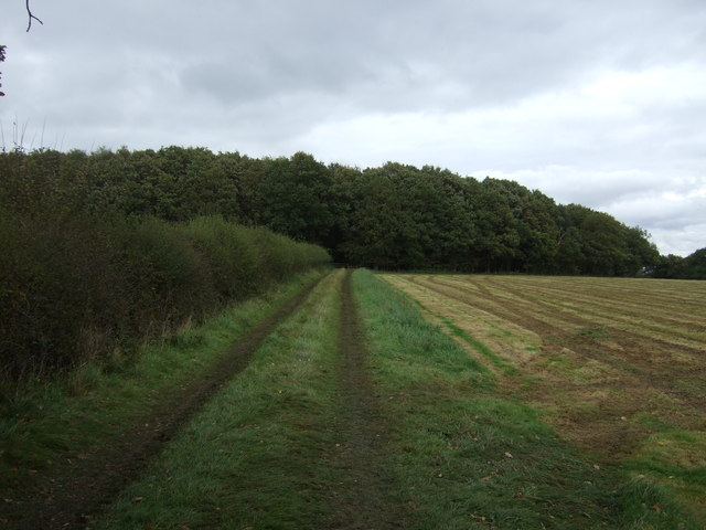
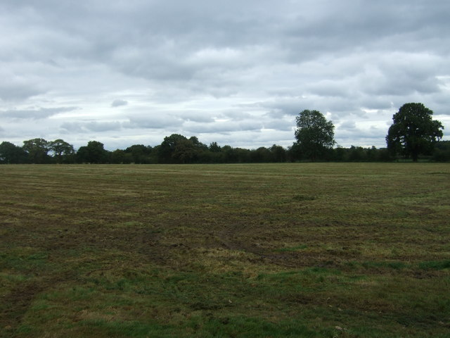
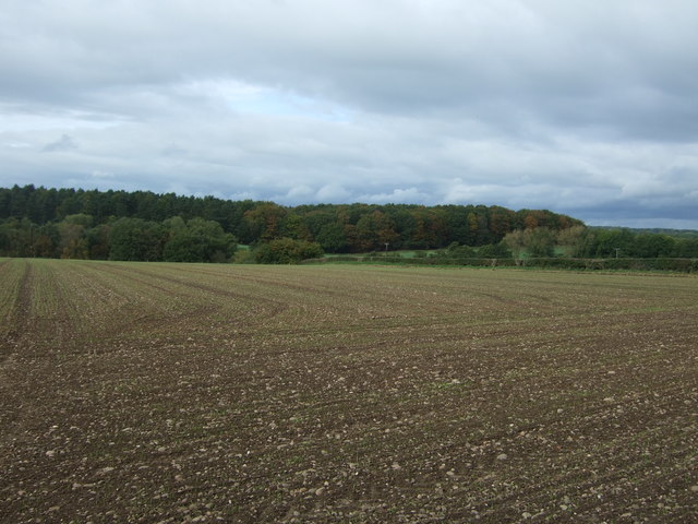
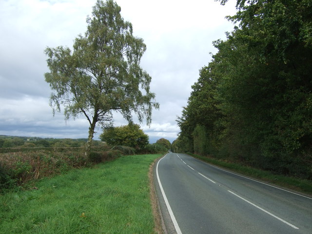
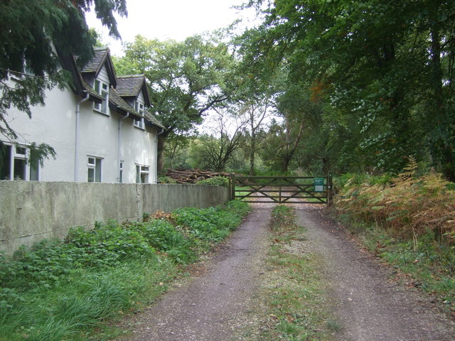
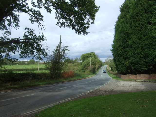
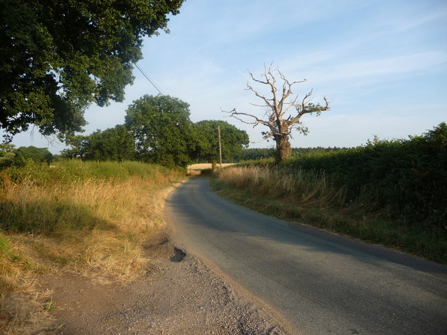
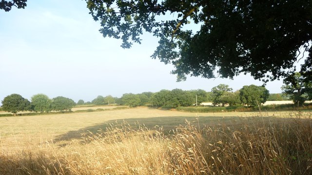
Jordan's Croft is a picturesque woodland located in Staffordshire, England. It is situated in the heart of the county, near the town of Stafford, and covers an area of approximately 50 acres. The woodland is part of the wider Cannock Chase Forest, a designated Area of Outstanding Natural Beauty.
Jordan's Croft is characterized by its diverse and thriving ecosystem. The woodland is predominantly composed of mixed broadleaf trees, including oak, birch, and beech, which create a dense canopy that provides shade and shelter for a wide range of flora and fauna. The forest floor is carpeted with an array of wildflowers, such as bluebells and primroses, adding bursts of color to the landscape.
The woodland is a haven for wildlife, with a number of species calling it home. Bird enthusiasts can spot a variety of feathered friends, including woodpeckers, owls, and thrushes. Mammals like foxes, badgers, and deer can also be found roaming the forest, adding to the area's natural beauty.
For nature enthusiasts, Jordan's Croft offers a tranquil and serene environment perfect for walking, hiking, or simply taking in the peaceful surroundings. There are several well-marked trails that wind through the woodland, allowing visitors to explore its hidden gems. The forest also features picnic areas and benches, providing the perfect spot for a leisurely lunch amidst nature.
Overall, Jordan's Croft in Staffordshire is a captivating woodland that offers a delightful escape from the hustle and bustle of everyday life. Its natural beauty, diverse wildlife, and peaceful ambiance make it a must-visit destination for nature lovers and outdoor enthusiasts alike.
If you have any feedback on the listing, please let us know in the comments section below.
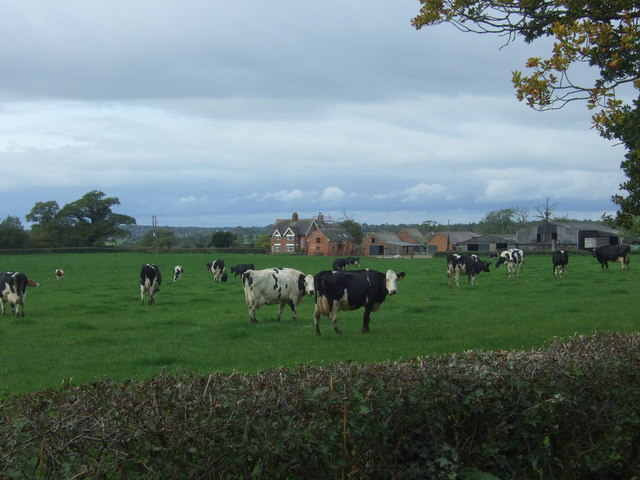
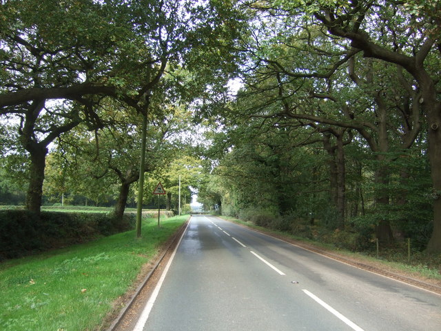
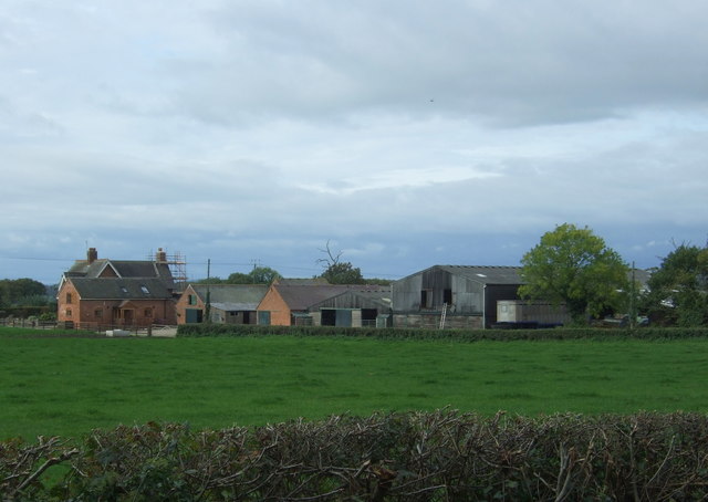
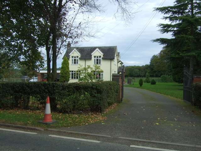
Jordan's Croft Images
Images are sourced within 2km of 52.843879/-1.8930307 or Grid Reference SK0727. Thanks to Geograph Open Source API. All images are credited.
Jordan's Croft is located at Grid Ref: SK0727 (Lat: 52.843879, Lng: -1.8930307)
Administrative County: Staffordshire
District: East Staffordshire
Police Authority: Staffordshire
What 3 Words
///cassettes.plans.skirting. Near Abbots Bromley, Staffordshire
Nearby Locations
Related Wikis

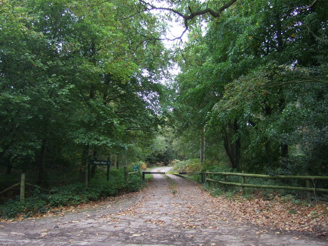
Bagot's Wood
Bagot's Wood is the largest extant piece of the ancient Needwood Forest, located near to Abbots Bromley, in Staffordshire, England. The forest derives...

RAF Abbots Bromley
RAF Abbots Bromley is a former Royal Air Force Relief Landing Ground (RLG) located 0.7 miles (1.1 km) north-west of the village of Abbots Bromley, Staffordshire...

Kingstone, Staffordshire
Kingstone is a village and civil parish within the English county of Staffordshire. == Population == The 2011 census recorded a population of 629 in 249...

Abbots Bromley
Abbots Bromley is a village and civil parish in the East Staffordshire district of Staffordshire and lies approximately 9.8 miles (15.8 km) east of Stafford...

Abbots Bromley School
Abbots Bromley School (previously the School of S. Mary and S. Anne, Abbots Bromley before becoming Abbots Bromley School for Girls) was a coeducational...

Grindley railway station
Grindley railway station was a former British railway station to serve the village of Grindley in Staffordshire. It was opened by the Stafford and Uttoxeter...

Blithfield Reservoir
Blithfield Reservoir is a large raw water reservoir in Staffordshire, England, owned by South Staffordshire Water. Some 800 acres (324 hectares) of reservoir...
St John's Church, Marchington Woodlands
St. John's Church, Marchington Woodlands is a parish church in Marchington Woodlands, Staffordshire, United Kingdom. Built in 1859, this small country...
Nearby Amenities
Located within 500m of 52.843879,-1.8930307Have you been to Jordan's Croft?
Leave your review of Jordan's Croft below (or comments, questions and feedback).