Great Rhymes Copse

Wood, Forest in Dorset

England

Great Rhymes Copse

River Crane spilling into the road
River Crane spilling into the road Credit: Clive Perrin

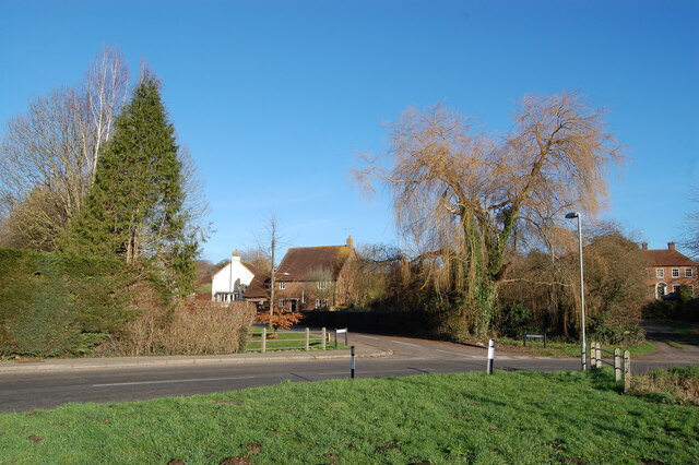
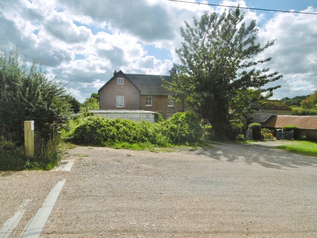
Great Rhymes Copse is a picturesque woodland located in the county of Dorset, England. Covering an area of approximately 50 acres, this enchanting copse is situated near the small village of Winterborne Zelston, just a few miles northwest of the bustling town of Wareham.

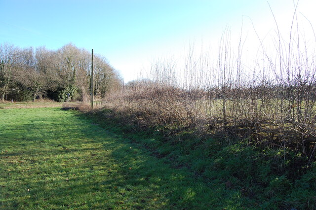
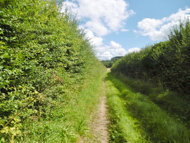
The copse is known for its diverse range of flora and fauna, making it a popular destination for nature enthusiasts and wildlife lovers. The woodland is dominated by a mixture of broadleaf trees, including oak, beech, and ash, which create a stunning canopy overhead. This dense foliage provides a tranquil and shady environment, perfect for leisurely walks and picnics.

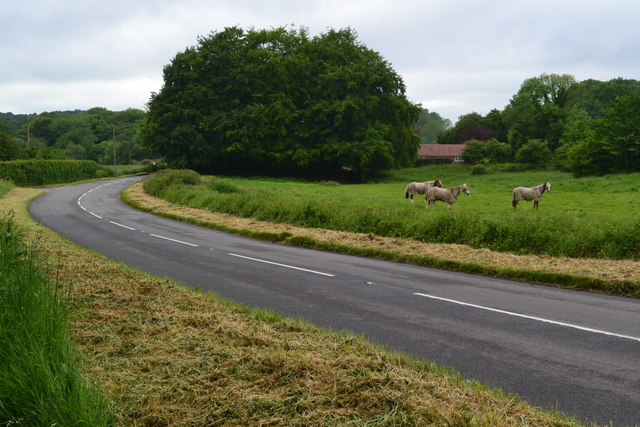
Great Rhymes Copse is also home to a variety of wildlife species. Birdwatchers can spot a range of avian creatures, such as woodpeckers, nuthatches, and jays, while lucky visitors might even catch a glimpse of elusive mammals like badgers and deer. The copse is also teeming with insect life, with butterflies and dragonflies flitting around the sun-dappled pathways.

A network of well-maintained footpaths and trails crisscross the copse, allowing visitors to explore its beauty at their own pace. These paths lead visitors through different sections of the woodland, revealing hidden clearings, babbling brooks, and small ponds along the way. Interpretive signs and information boards are scattered throughout the copse, providing educational insights into the local ecology and history.

Great Rhymes Copse offers a peaceful and rejuvenating escape from the hustle and bustle of everyday life. Its natural beauty and tranquility make it a must-visit destination for anyone seeking to immerse themselves in the wonders of nature.

If you have any feedback on the listing, please let us know in the comments section below.

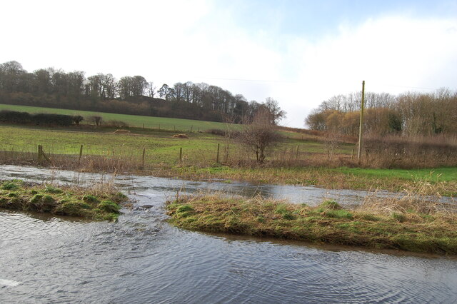
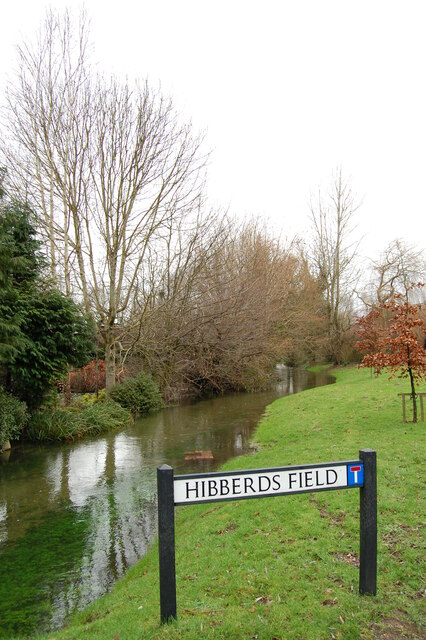
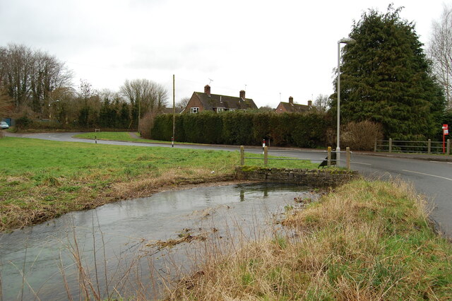
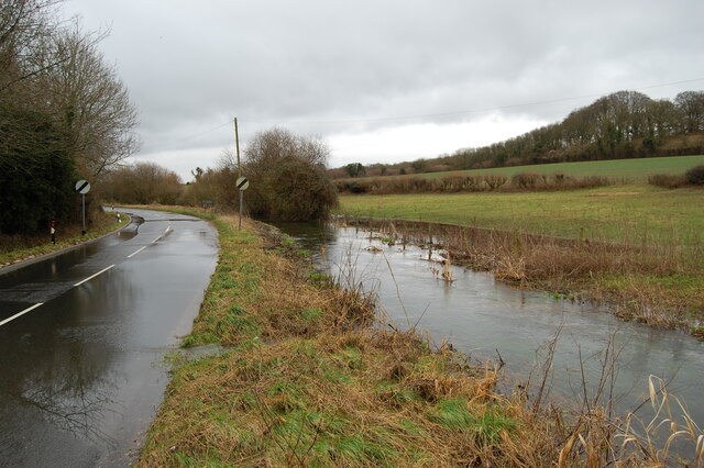
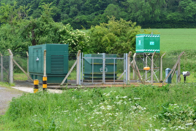
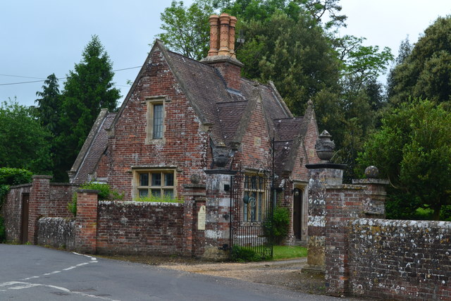
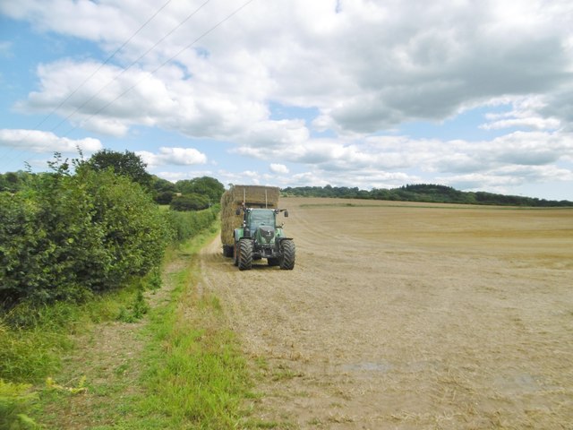
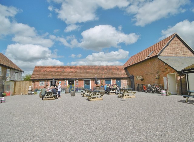
Great Rhymes Copse Images

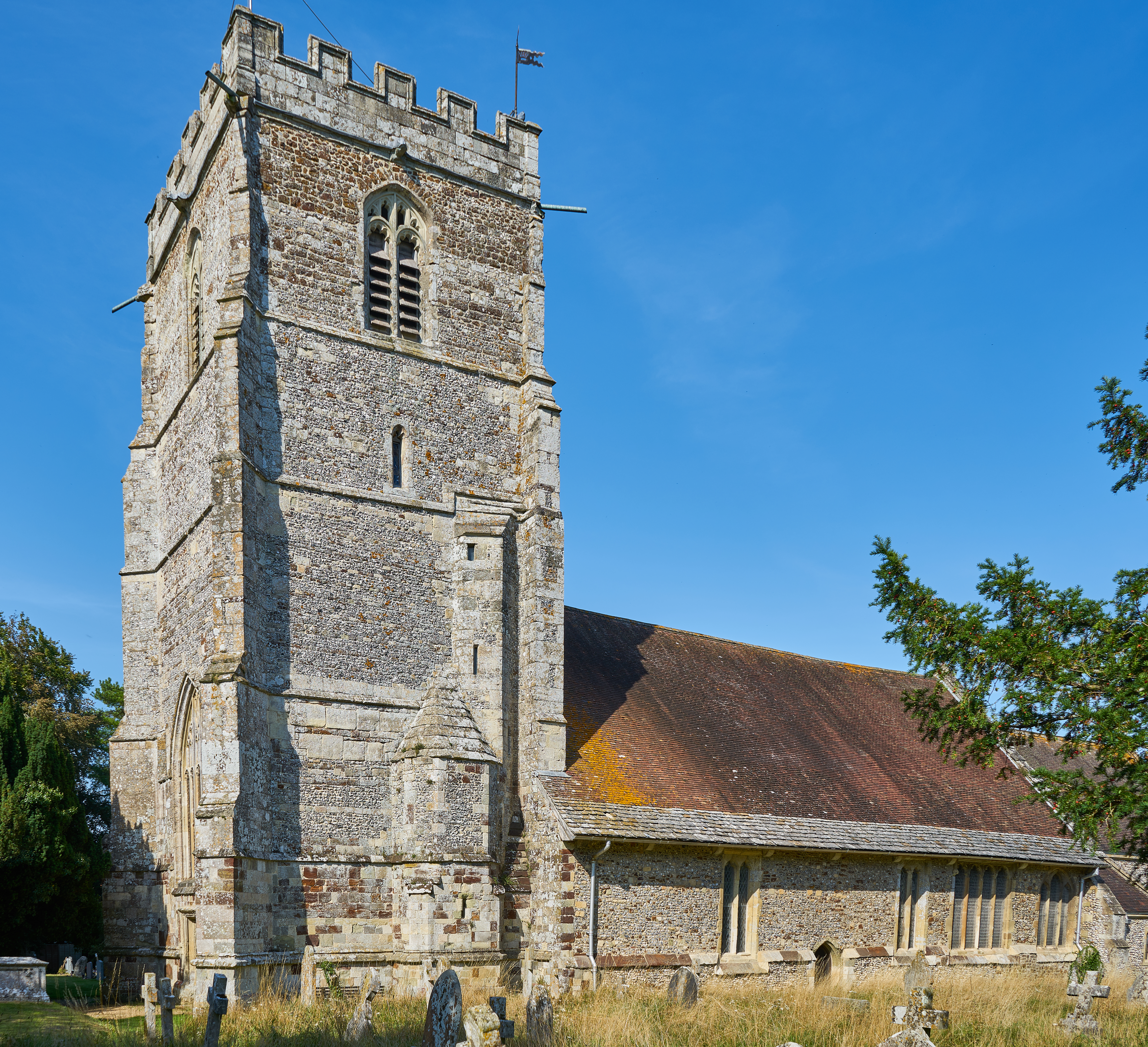
Images are sourced within 2km of 50.907839/-1.8975459 or Grid Reference SU0712. Thanks to Geograph Open Source API. All images are credited.

River Crane spilling into the road
River Crane Cranborne
River Crane in spate
Willow and mole hills The River Crane flows under the road here.
Willow and mole hills
The River Crane flows under the road here.
Laid hedge showing vigorous new growth
Ford at Lower Holwell This ford on the River Crane is found just below Mill Farm at Lower Holwell. A video of the ford can be seen at:
<span class="nowrap"><a title="https://youtu.be/FNo6zIFcZ1k" rel="nofollow ugc noopener" href="https://youtu.be/FNo6zIFcZ1k">Link</a><img style="margin-left:2px;" alt="External link" title="External link - shift click to open in new window" src="https://s1.geograph.org.uk/img/external.png" width="10" height="10"/></span>
Ford at Lower Holwell
This ford on the River Crane is found just below Mill Farm at Lower Holwell. A video of the ford can be seen at: LinkExternal link
Horses beside Hare Lane
Hare Lane
Hare Lane
B3078 near Cranborne
Cranbone sewage works
Lodge at Edmondsham House
Holwell, tractor Harvest home; a tractor and trailer laden with bales to take back to the farm.
Holwell, tractor
Harvest home; a tractor and trailer laden with bales to take back to the farm.
Holwell, Sixpenny Tap Bar and taproom of the Sixpenny Brewery, in a converted building at Holwell Farm. Back bar, drinking area to front; the room is festooned with hops, and there are a vintage jukebox, darts board and exposed brick walls. The brewery is to the right, formerly at Sixpenny Handley: <a href="https://www.geograph.org.uk/photo/1934011">ST9916 : Sixpenny Handley, brewery</a>. <span class="nowrap"><a title="http://www.sixpennybrewery.co.uk/about-us/our-history/" rel="nofollow ugc noopener" href="http://www.sixpennybrewery.co.uk/about-us/our-history/">Link</a><img style="margin-left:2px;" alt="External link" title="External link - shift click to open in new window" src="https://s1.geograph.org.uk/img/external.png" width="10" height="10"/></span>
Holwell, Sixpenny Tap
Bar and taproom of the Sixpenny Brewery, in a converted building at Holwell Farm. Back bar, drinking area to front; the room is festooned with hops, and there are a vintage jukebox, darts board and exposed brick walls. The brewery is to the right, formerly at Sixpenny Handley: ST9916 : Sixpenny Handley, brewery. LinkExternal link
Holwell Farmhouse Cereal farm, judging from the surrounding fields; the farm has diversified into letting out buildings to craft industries, including bakery, brewery and woodturner.
Holwell Farmhouse
Cereal farm, judging from the surrounding fields; the farm has diversified into letting out buildings to craft industries, including bakery, brewery and woodturner.
Holwell, footpath Footpath and farm track between fields, from Cranborne to Jordan Hill.
Holwell, footpath
Footpath and farm track between fields, from Cranborne to Jordan Hill.
Holwell, stubble field Harvest home!
Holwell, stubble field
Harvest home!
Holwell, track Farm track and footpath between fields from Cranborne to Jordan Hill, via Holwell.
Holwell, track
Farm track and footpath between fields from Cranborne to Jordan Hill, via Holwell.
Show me another place!

Great Rhymes Copse is located at Grid Ref: SU0712 (Lat: 50.907839, Lng: -1.8975459)

Unitary Authority: Dorset

Police Authority: Dorset

What 3 Words

///joys.diggers.embers. Near Verwood, Dorset

Related Wikis

Edmondsham House

Edmondsham House is a Tudor home with Georgian additions in Edmondsham near Wimborne Minster in Dorset, England. It is a Grade II* listed building. �...

Edmondsham

Edmondsham is a village in the county of Dorset in southern England. It is situated two miles north west of Verwood and ten miles north of Bournemouth...

Boveridge

Boveridge is a hamlet in Dorset, England about 1 mile (1.6 km) north of Cranborne, 12 miles (19 km) south-west of Salisbury, Wiltshire, and 10 miles (16...

Crendell

Crendell is a hamlet in the civil parish of Alderholt in the East Dorset district of Dorset, England. The hamlet is close to the Dorset-Hampshire border...

Cripplestyle

Cripplestyle is a hamlet in the civil parish of Alderholt in the county of Dorset, England. It lies close to the Dorset-Hampshire border. The nearest town...

Cranborne

Cranborne is a village in East Dorset, England. At the 2011 census, the parish had a population of 779, remaining unchanged from 2001. The appropriate...

Monkton Up Wimborne Hundred

Monkton Up Wimborne Hundred or Up Wimborne Hundred was a hundred in the county of Dorset, England, containing the following parishes: Chettle Cranborne...

Cranborne Hundred

Cranborne Hundred was a hundred in the county of Dorset, England, containing the following parishes: Ashmore Belchalwell (divided between Okeford Fitzpaine...

Nearby Amenities

Located within 500m of 50.907839,-1.8975459
Barrier: stile
Lat/Long: 50.9067407/-1.893303
Material: wood
Power: pole
Source: bing
Lat/Long: 50.9069266/-1.9037141
Material: wood
Poles: bipole
Power: pole
Source: bing
Transformer: distribution
Lat/Long: 50.9073748/-1.9026976
Ford: yes
Lat/Long: 50.9092139/-1.8932178
The data included in this document is from www.openstreetmap.org. The data is made available under ODbL.

Have you been to Great Rhymes Copse?

Leave your review of Great Rhymes Copse below (or comments, questions and feedback).