Hitchcocks Rough
Wood, Forest in Staffordshire East Staffordshire
England
Hitchcocks Rough
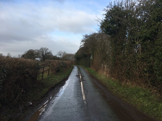
Hitchcocks Rough is a picturesque woodland located in the county of Staffordshire, England. Spanning over an area of approximately 100 acres, this enchanting forest is a haven for nature enthusiasts and hikers alike. The woodland is situated in close proximity to the village of Wood, and its tranquil atmosphere draws visitors from both nearby towns and distant cities.
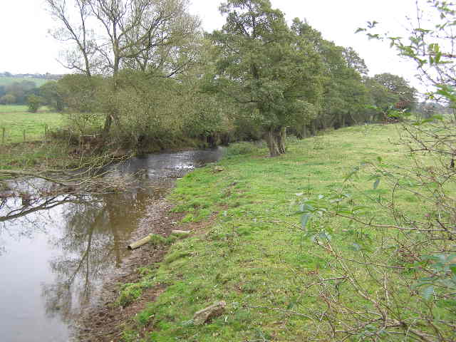
Hitchcocks Rough is known for its diverse range of flora and fauna. The forest boasts an impressive variety of trees, including oak, beech, and birch, which provide a lush canopy and a vibrant display of colors throughout the seasons. The forest floor is adorned with a carpet of wildflowers, adding to the natural beauty of the landscape.
This woodland is not only visually appealing but is also home to a plethora of wildlife. Birdwatchers can spot a wide range of avian species, such as woodpeckers, owls, and various songbirds. Small mammals like foxes, badgers, and squirrels can also be observed in their natural habitat, making it an ideal location for wildlife enthusiasts and photographers.
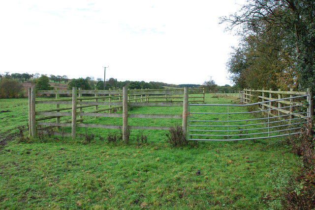
Hitchcocks Rough offers a network of well-maintained walking trails, allowing visitors to explore the forest at their own pace. These trails cater to all levels of fitness, from leisurely strolls to more challenging hikes. The woodland also features several picnic areas and benches, providing opportunities for visitors to relax and soak in the tranquility of the surroundings.
Overall, Hitchcocks Rough in Staffordshire offers an idyllic escape from the hustle and bustle of everyday life. With its breathtaking scenery, diverse wildlife, and well-maintained trails, it is a must-visit destination for nature lovers and those seeking a peaceful retreat amidst the beauty of the English countryside.
If you have any feedback on the listing, please let us know in the comments section below.
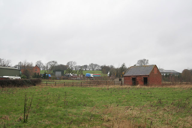
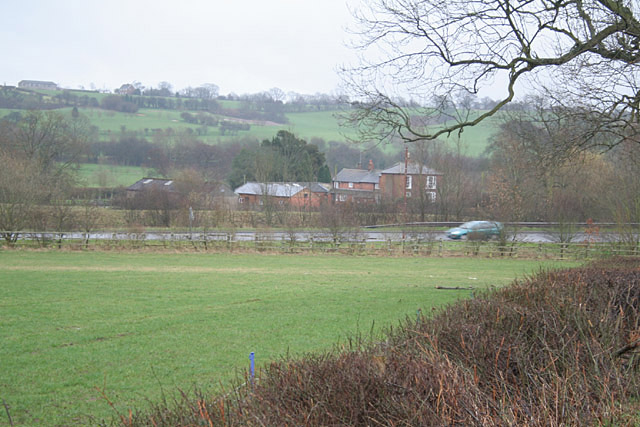
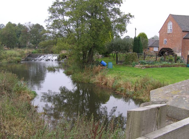
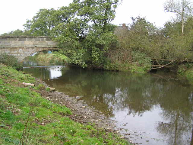
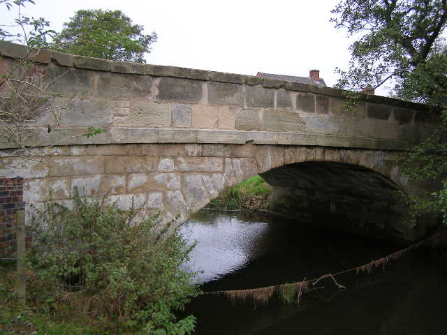
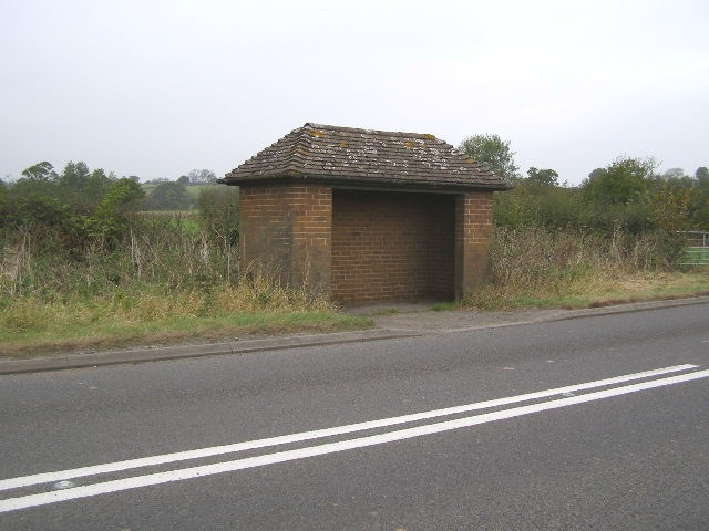
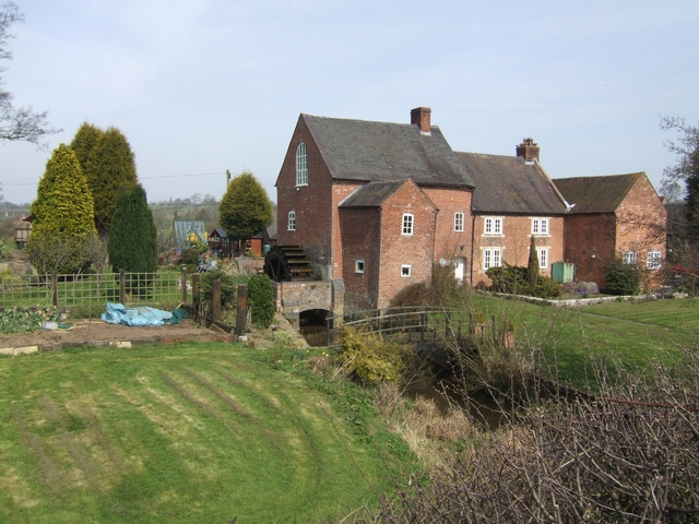
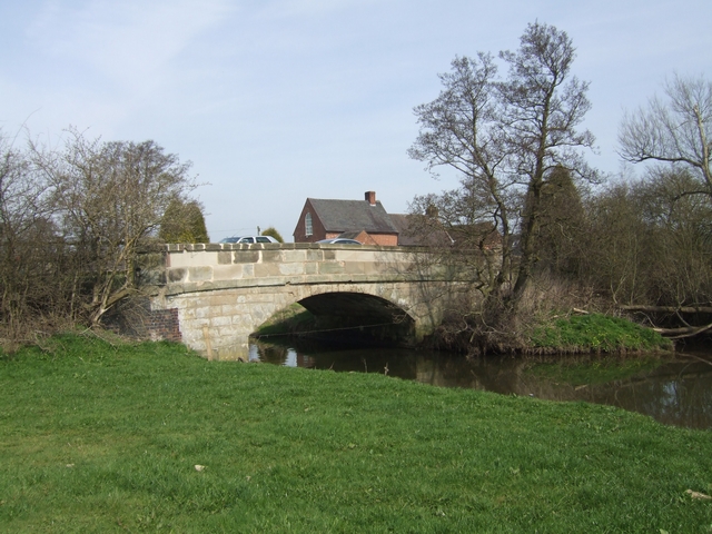
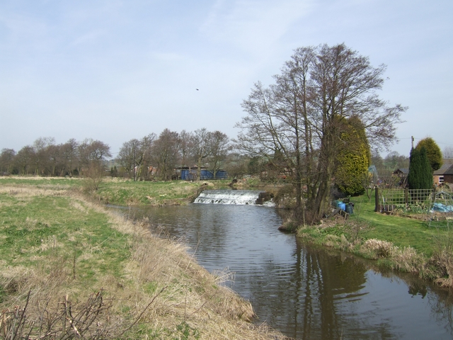
Hitchcocks Rough Images
Images are sourced within 2km of 52.867777/-1.9203648 or Grid Reference SK0530. Thanks to Geograph Open Source API. All images are credited.
Hitchcocks Rough is located at Grid Ref: SK0530 (Lat: 52.867777, Lng: -1.9203648)
Administrative County: Staffordshire
District: East Staffordshire
Police Authority: Staffordshire
What 3 Words
///merely.villas.voted. Near Uttoxeter, Staffordshire
Nearby Locations
Related Wikis

Kingstone, Staffordshire
Kingstone is a village and civil parish within the English county of Staffordshire. == Population == The 2011 census recorded a population of 629 in 249...

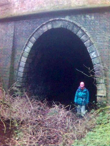
Grindley railway station
Grindley railway station was a former British railway station to serve the village of Grindley in Staffordshire. It was opened by the Stafford and Uttoxeter...
Loxley Hall
Loxley Hall is an early-19th-century country house near Uttoxeter, Staffordshire, now occupied by a Staffordshire County Council special school for boys...

Gratwich
Gratwich is a village and former civil parish, now in the parish of Kingstone, in the East Staffordshire district, in the county of Staffordshire, England...

Bromshall railway station
Bromshall railway station was a short lived railway station in Staffordshire, England. The railway line between Stoke-on-Trent and Uttoxeter was opened...

Chartley Moss
Chartley Moss is a 105.80 hectare biological Site of Special Scientific Interest in Staffordshire, notified in 1987. The area has been designated as an...

Bramshall
Bramshall is a village and former civil parish, now in the parish of Uttoxeter Rural, in the East Staffordshire district, in the county of Staffordshire...

Bagot's Wood
Bagot's Wood is the largest extant piece of the ancient Needwood Forest, located near to Abbots Bromley, in Staffordshire, England. The forest derives...
Nearby Amenities
Located within 500m of 52.867777,-1.9203648Have you been to Hitchcocks Rough?
Leave your review of Hitchcocks Rough below (or comments, questions and feedback).