Square Copse
Wood, Forest in Wiltshire
England
Square Copse
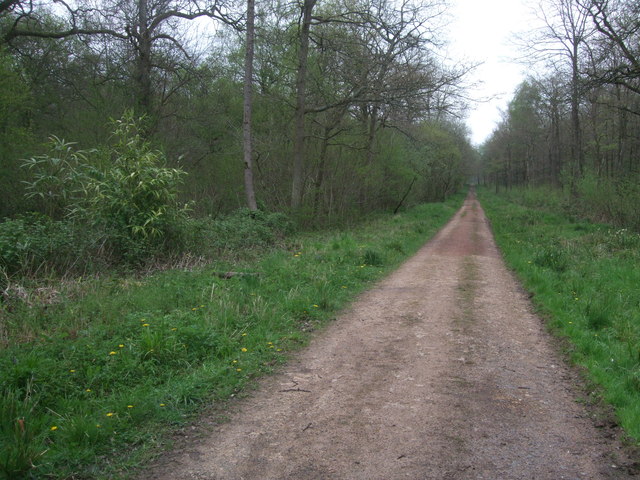
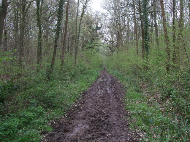
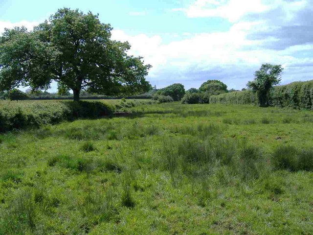
Square Copse is a small woodland located in Wiltshire, England. Situated near the village of Lacock, it covers an area of approximately 10 acres. The copse is characterized by its dense and diverse vegetation, consisting mainly of oak, beech, and ash trees. It is surrounded by open fields and farmland, creating a stark contrast between the lush woodland and the rural landscape.
The terrain in Square Copse is relatively flat, with a few gentle slopes. A network of well-maintained paths and trails allows visitors to explore the woodland and enjoy leisurely walks. The forest floor is covered with a thick layer of fallen leaves, creating a peaceful and picturesque atmosphere.
The copse provides habitat for a variety of wildlife species. Birdwatchers can spot common woodland birds such as robins, blackbirds, and blue tits, as well as the occasional woodpecker or owl. Squirrels and rabbits are commonly seen scurrying through the undergrowth.
Square Copse is a popular destination for nature enthusiasts and photographers, particularly during the autumn months when the leaves change color, creating a stunning display of reds, oranges, and yellows. The woodland also offers a tranquil retreat for those seeking a break from the hustle and bustle of daily life.
Overall, Square Copse in Wiltshire is a charming and peaceful woodland, offering visitors a chance to immerse themselves in nature and enjoy the beauty of the English countryside.
If you have any feedback on the listing, please let us know in the comments section below.
Square Copse Images
Images are sourced within 2km of 51.602137/-1.9224752 or Grid Reference SU0589. Thanks to Geograph Open Source API. All images are credited.


Square Copse is located at Grid Ref: SU0589 (Lat: 51.602137, Lng: -1.9224752)
Unitary Authority: Wiltshire
Police Authority: Wiltshire
What 3 Words
///folders.vaccines.commuting. Near Leigh, Wiltshire
Nearby Locations
Related Wikis

Braydon
Braydon is a civil parish in north Wiltshire, England, about 6 miles (10 km) northwest of Swindon, between Purton and Minety. A thinly-populated farming...
Stoke Common Meadows
Stoke Common Meadows (grid reference SU064904) is a biological Site of Special Scientific Interest in north Wiltshire, England. The 10.2 hectare site is...

Distillery Farm Meadows
Distillery Farm Meadows (grid reference SU032898) is an 18.7 hectare biological Site of Special Scientific Interest in Wiltshire, notified in 1988. The...

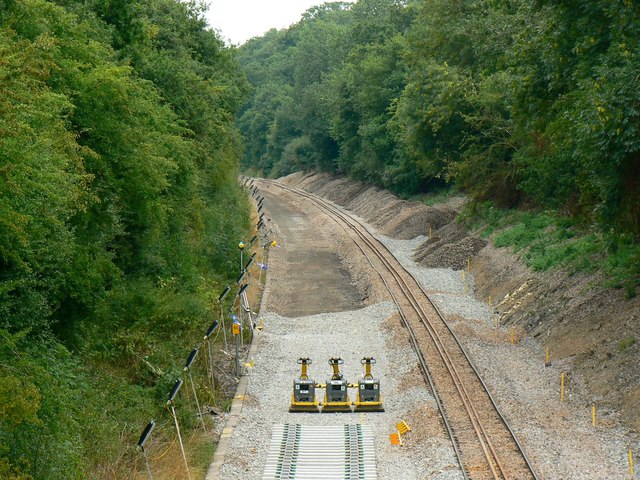
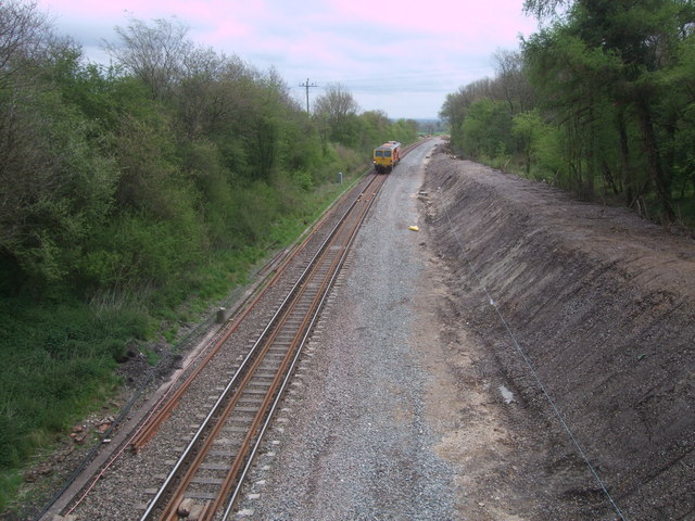
Minety and Ashton Keynes railway station
Minety and Ashton Keynes railway station serving the village of Minety in Wiltshire, England, was opened in 1841 on the former Cheltenham and Great Western...

Leigh, Wiltshire
Leigh is a village and civil parish in north Wiltshire, England, 1.5 miles (2.4 km) southeast of Ashton Keynes and 2.5 miles (4 km) west of Cricklade....
All Saints Church, Leigh
All Saints Church was built around 1250 at Leigh, north Wiltshire, England, and was originally on a site half a mile to the north of its current location...

Ringsbury Camp
Ringsbury Camp is an Iron Age hill fort, thought to date from approximately the year 50BC, in the civil parish of Purton in Wiltshire, England. The site...
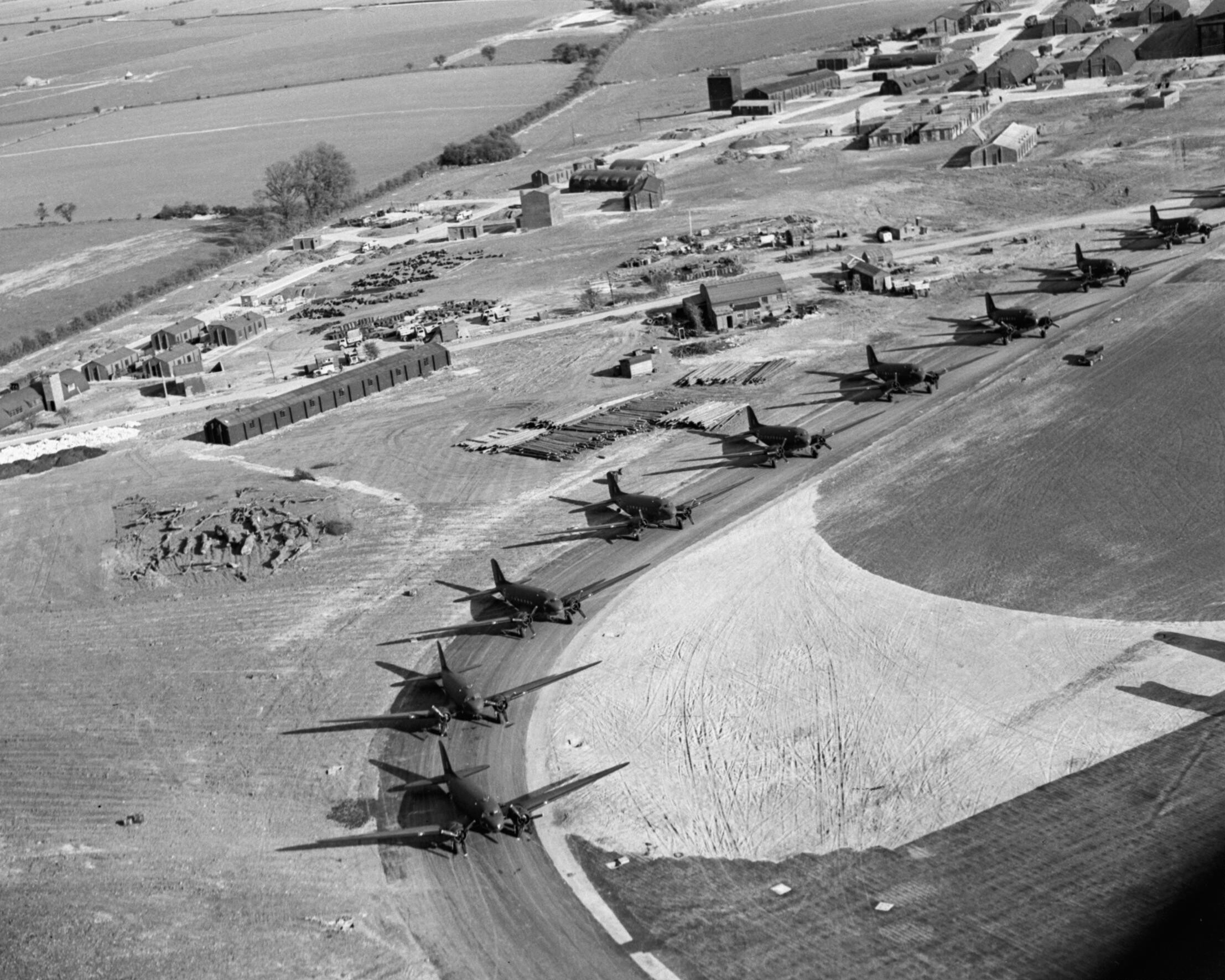
RAF Blakehill Farm
Royal Air Force Blakehill Farm or more simply RAF Blakehill Farm is a former Royal Air Force station southwest of Cricklade in Wiltshire, England, operational...
Nearby Amenities
Located within 500m of 51.602137,-1.9224752Have you been to Square Copse?
Leave your review of Square Copse below (or comments, questions and feedback).