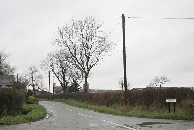
Leese Hill

Settlement in Staffordshire East Staffordshire

England

Leese Hill

Disused tunnel, Nr Bramshall, North Staffs This is the south portal of a tunnel on the Uttoxeter - Stafford branch, an isolated outpost of the Great Northern Railway. Whilst the village to the north is called Bramshall the GNR named the tunnel and the nearby junction Bromshall. The line lost its passenger service in 1939.
Disused tunnel, Nr Bramshall, North Staffs Credit: Ralph Rawlinson

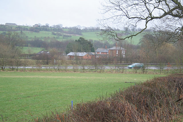
Leese Hill is a small village located in the county of Staffordshire, England. Situated in the West Midlands region, it is part of the Staffordshire Moorlands district. The village is situated on a gentle slope, offering beautiful panoramic views of the surrounding countryside.

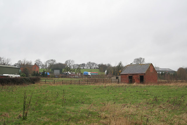
Leese Hill has a population of approximately 400 residents, making it a tight-knit and close community. The village primarily consists of traditional English cottages, giving it a charming and picturesque feel. Many of these cottages date back several centuries, adding to the village's historical character.

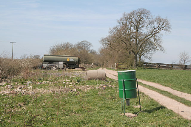
One of the notable features of Leese Hill is its proximity to the Peak District National Park. The village is surrounded by rolling hills, verdant meadows, and picturesque woodlands, making it an ideal location for outdoor enthusiasts and nature lovers. The nearby park offers ample opportunities for activities such as hiking, cycling, and wildlife spotting.

Leese Hill has a small primary school, providing education to the local children. The village also has a community center, where residents can gather for various events and activities. Additionally, there is a local pub that serves as a social hub for both residents and visitors.

In terms of amenities, Leese Hill does not have its own shops or post office. However, there are several nearby villages and towns where residents can access these services. The village is well-connected by road, with easy access to major towns and cities in the region.

Overall, Leese Hill offers a tranquil and idyllic setting, perfect for those seeking a peaceful rural lifestyle within easy reach of the stunning natural beauty of the Peak District.

If you have any feedback on the listing, please let us know in the comments section below.
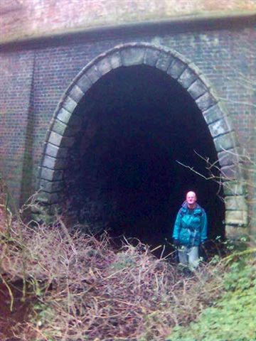
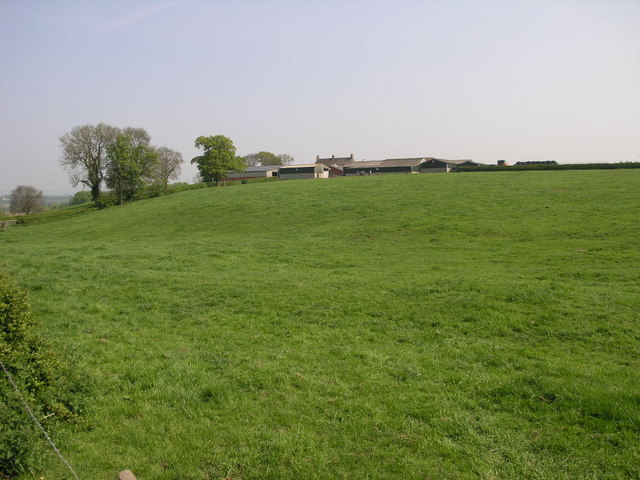
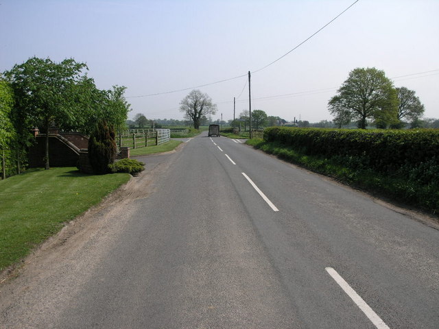
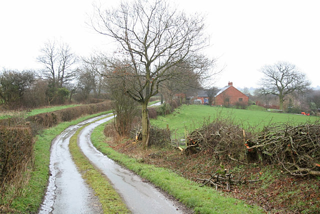
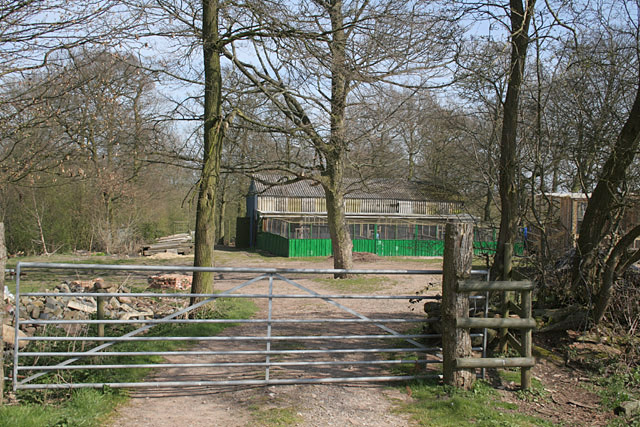
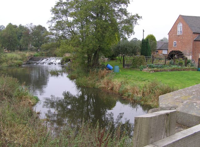
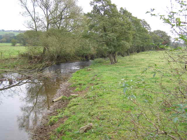
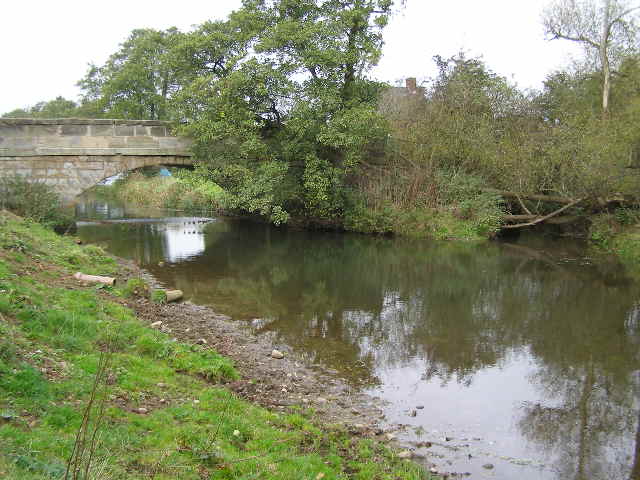
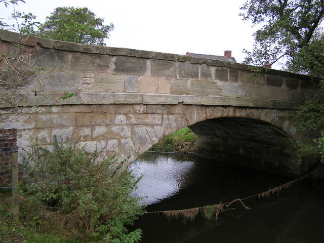
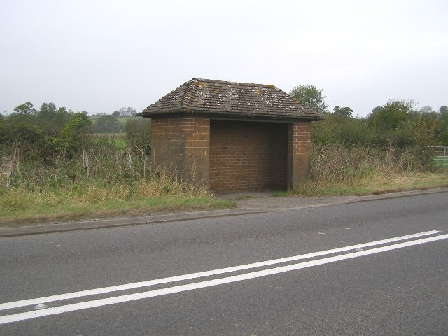
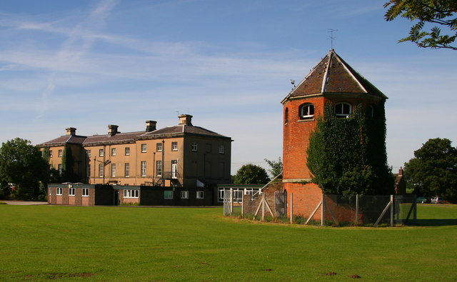
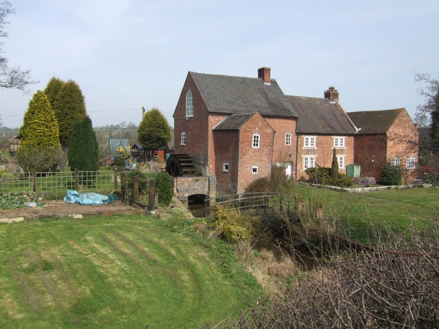
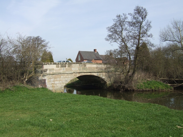
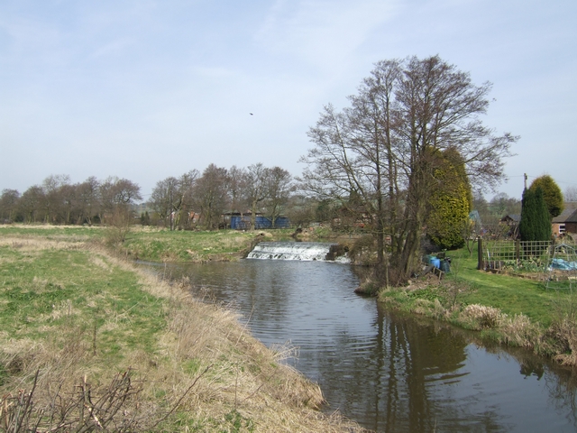
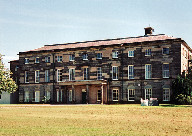
Leese Hill Images

Images are sourced within 2km of 52.871582/-1.9252456 or Grid Reference SK0530. Thanks to Geograph Open Source API. All images are credited.

Disused tunnel, Nr Bramshall, North Staffs This is the south portal of a tunnel on the Uttoxeter - Stafford branch, an isolated outpost of the Great Northern Railway. Whilst the village to the north is called Bramshall the GNR named the tunnel and the nearby junction Bromshall. The line lost its passenger service in 1939.
Disused tunnel, Nr Bramshall, North Staffs
This is the south portal of a tunnel on the Uttoxeter - Stafford branch, an isolated outpost of the Great Northern Railway. Whilst the village to the north is called Bramshall the GNR named the tunnel and the nearby junction Bromshall. The line lost its passenger service in 1939.
Farm on a Hill Loxley Bank farm sits on top of this green hill.
Farm on a Hill
Loxley Bank farm sits on top of this green hill.
Crossroads and Trailer Crossroads at Loxley Green. The trailer is not technically being driven on the wrong side of the road but had just turned at the crossroads and needed the space to turn.
Crossroads and Trailer
Crossroads at Loxley Green. The trailer is not technically being driven on the wrong side of the road but had just turned at the crossroads and needed the space to turn.
Common Lane, Gratwich My favourite type of dual carriageway! Note also the traditional hedging being carried out on the right hand side.
Common Lane, Gratwich
My favourite type of dual carriageway! Note also the traditional hedging being carried out on the right hand side.
Leese Hill The OS map accords the name to the location not just the road
Leese Hill
The OS map accords the name to the location not just the road
Park View Farm near Lower Loxley, Uttoxeter
In the Blithe Valley. The A518 is the main road from Uttoxeter to Stafford
In the Blithe Valley.
The A518 is the main road from Uttoxeter to Stafford
Pheasant feeder and fuel tanker, above Caverswall Game rearing is clearly a significant feature of this estate to the west of Uttoxeter as these feeders can be found the full length of the bridleway.
Pheasant feeder and fuel tanker, above Caverswall
Game rearing is clearly a significant feature of this estate to the west of Uttoxeter as these feeders can be found the full length of the bridleway.
Game rearing sheds in Round Wood near Caverswall
Burndhurst Mill, near Gratwich This view of Burndhurst Mill, from the A518 road bridge over the River Blithe, shows the water wheel and the weir.
Burndhurst Mill, near Gratwich
This view of Burndhurst Mill, from the A518 road bridge over the River Blithe, shows the water wheel and the weir.
River Blithe scene This meandering mature river appears to be following the 110-115m contour, at least in this vicinity. This view is facing south along the river bank and the water level is not a lot different to the height of the fields.
River Blithe scene
This meandering mature river appears to be following the 110-115m contour, at least in this vicinity. This view is facing south along the river bank and the water level is not a lot different to the height of the fields.
River Blithe This view from the bank of River Blithe shows the road bridge carrying the A518. On the right hand side is the tail-race stream from the mill, which is a short distance beyond and just to the right of the bridge.
River Blithe
This view from the bank of River Blithe shows the road bridge carrying the A518. On the right hand side is the tail-race stream from the mill, which is a short distance beyond and just to the right of the bridge.
Road Bridge on Stafford Road, Gratwich This is a close-up of the bridge.
Road Bridge on Stafford Road, Gratwich
This is a close-up of the bridge.
Bus-shelter near Burndhurst Mill This bus shelter is on the route from Stafford to Uttoxeter.
Bus-shelter near Burndhurst Mill
This bus shelter is on the route from Stafford to Uttoxeter.
Loxley Hall Currently a Staffordshire County Council school on Stafford Road, west of Uttoxeter.
Loxley Hall
Currently a Staffordshire County Council school on Stafford Road, west of Uttoxeter.
Burndhurst Mill on the River Blithe Watermill with undershot wheel.
Burndhurst Mill on the River Blithe
Watermill with undershot wheel.
River Blithe bridge at Burndhurst Mill The mill race enters the river from the right.
River Blithe bridge at Burndhurst Mill
The mill race enters the river from the right.
Mill leat overflow weir at Burndhurst Mill Water returns to the River Blithe upstream of Burndhurst Mill.
Mill leat overflow weir at Burndhurst Mill
Water returns to the River Blithe upstream of Burndhurst Mill.
Show me another place!

Leese Hill is located at Grid Ref: SK0530 (Lat: 52.871582, Lng: -1.9252456)

Administrative County: Staffordshire

District: East Staffordshire

Police Authority: Staffordshire

What 3 Words

///wept.acoustics.spearing. Near Uttoxeter, Staffordshire

Related Wikis

Kingstone, Staffordshire

Kingstone is a village and civil parish within the English county of Staffordshire. == Population == The 2011 census recorded a population of 629 in 249...

Grindley railway station

Grindley railway station was a former British railway station to serve the village of Grindley in Staffordshire. It was opened by the Stafford and Uttoxeter...

Loxley Hall

Loxley Hall is an early-19th-century country house near Uttoxeter, Staffordshire, now occupied by a Staffordshire County Council special school for boys...

Gratwich

Gratwich is a village and former civil parish, now in the parish of Kingstone, in the East Staffordshire district, in the county of Staffordshire, England...

Bromshall railway station

Bromshall railway station was a short lived railway station in Staffordshire, England. The railway line between Stoke-on-Trent and Uttoxeter was opened...

Bramshall

Bramshall is a village and former civil parish, now in the parish of Uttoxeter Rural, in the East Staffordshire district, in the county of Staffordshire...

Chartley Moss

Chartley Moss is a 105.80 hectare biological Site of Special Scientific Interest in Staffordshire, notified in 1987. The area has been designated as an...

Uttoxeter Rural

Uttoxeter Rural is a civil parish in the borough of East Staffordshire, Staffordshire, England, comprising the villages of Stramshall and Bramshall. It...

Nearby Amenities

Located within 500m of 52.871582,-1.9252456
Leese Hill
Place: hamlet
Lat/Long: 52.8734181/-1.9264466
The data included in this document is from www.openstreetmap.org. The data is made available under ODbL.

Have you been to Leese Hill?

Leave your review of Leese Hill below (or comments, questions and feedback).