Ashen Copse

Wood, Forest in Wiltshire

England

Ashen Copse

2011 : Road surfacing machine parked in a field With crew.
One of three such machines parked in the vicinity waiting for orders.
This is a New Holland, the smallest of the three.
2011 : Road surfacing machine parked in a field Credit: Maurice Pullin

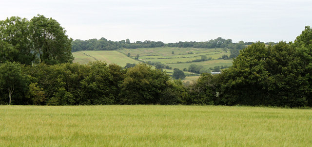
Ashen Copse is a picturesque woodland located in Wiltshire, England. Covering an area of approximately 200 acres, it is a stunning example of a traditional English forest. The copse is comprised primarily of deciduous trees such as oak, beech, and ash, which create a dense canopy that filters the sunlight and casts a beautiful dappled effect on the forest floor.

The woodland is home to a rich variety of flora and fauna. In spring, the forest bursts into life with colorful wildflowers, including bluebells, primroses, and wood anemones. This vibrant display attracts a multitude of insects, butterflies, and birds, making it a haven for wildlife enthusiasts and birdwatchers.

Ashen Copse offers a network of well-maintained footpaths, making it a popular destination for hikers and nature lovers. The trails wind through the woods, offering peaceful and secluded spots for picnics or simply enjoying the tranquility of the surroundings. The forest is also intersected by a small stream, adding to its charm and providing a refreshing backdrop to the sounds of nature.

The copse is managed by the local authorities, ensuring its preservation for future generations. While the woodland is predominantly natural, there are also areas where conservation efforts have been made to restore native species and encourage biodiversity.

Ashen Copse is a hidden gem in the heart of Wiltshire, offering a serene escape from the hustle and bustle of everyday life. Whether you are seeking a peaceful walk, a chance to observe wildlife, or simply a place to reconnect with nature, this enchanting woodland provides a truly memorable experience.

If you have any feedback on the listing, please let us know in the comments section below.
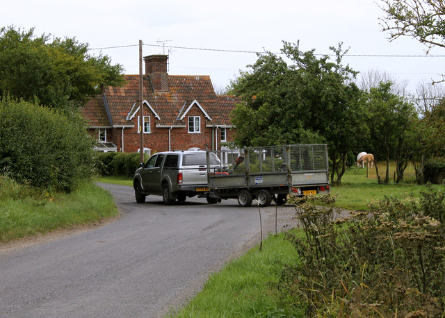
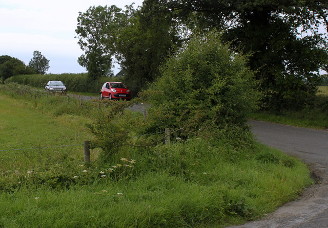
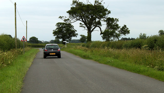
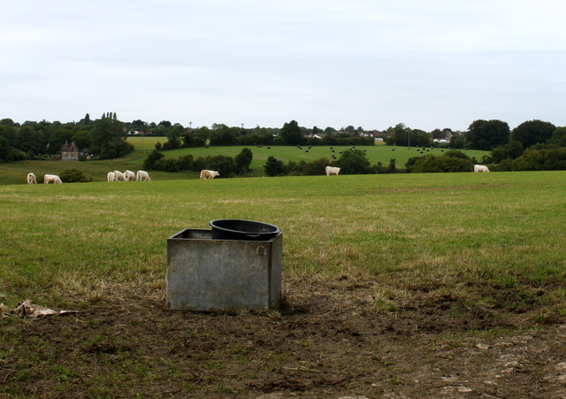
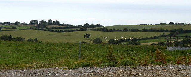
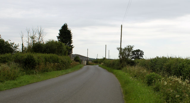
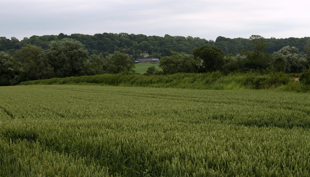
Ashen Copse Images

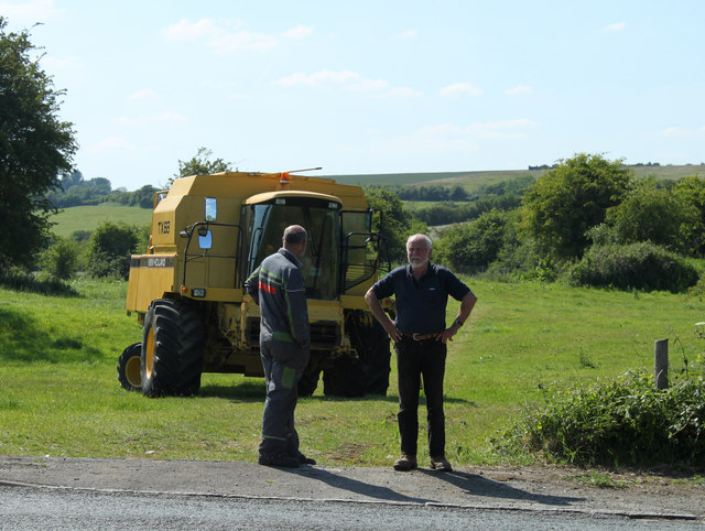
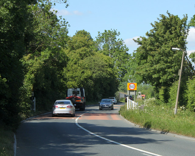
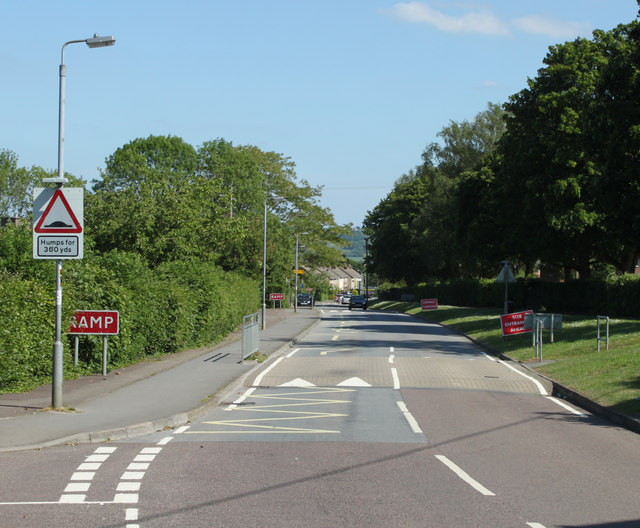
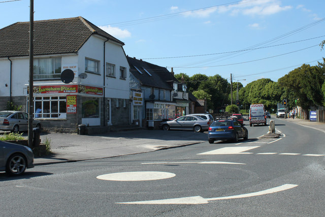
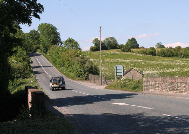
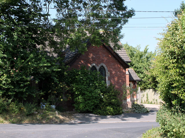
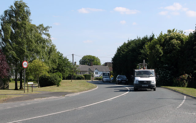
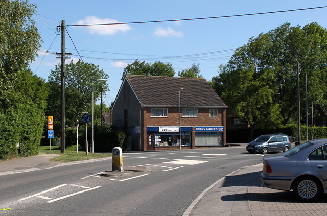
Images are sourced within 2km of 51.49468/-1.9558161 or Grid Reference SU0377. Thanks to Geograph Open Source API. All images are credited.

2011 : Road surfacing machine parked in a field With crew.
One of three such machines parked in the vicinity waiting for orders.
This is a New Holland, the smallest of the three.
2011 : Road surfacing machine parked in a field
With crew. One of three such machines parked in the vicinity waiting for orders. This is a New Holland, the smallest of the three.
2011 : A3102 leaving Goatacre Heading north for Lyneham, about one mile away.
2011 : A3102 leaving Goatacre
Heading north for Lyneham, about one mile away.
2011 : Preston Lane, Lyneham The road to Preston, Bushton and Clyffe Pypard.
2011 : Preston Lane, Lyneham
The road to Preston, Bushton and Clyffe Pypard.
2011 : A3102 Calne Road, Lyneham Mini roundabout at the junction with Preston Road and shops.
<a href="https://www.geograph.org.uk/photo/301305">SU0278 : Takeaway options at Lyneham</a> shows the same scene in December 2006.
2011 : A3102 Calne Road, Lyneham
Mini roundabout at the junction with Preston Road and shops. SU0278 : Takeaway options at Lyneham shows the same scene in December 2006.
2011 : A3102 between Hilmarton and Goatacre Heading north toward Lyneham and Wootton Bassett.
2011 : A3102 between Hilmarton and Goatacre
Heading north toward Lyneham and Wootton Bassett.
2011 : Chapel in the trees on the road to New Zealand Seen from Quakers Walk, Goatacre.
The A3102 passes a few yards to the right.
2011 : Chapel in the trees on the road to New Zealand
Seen from Quakers Walk, Goatacre. The A3102 passes a few yards to the right.
2011 : A3102 at Goatacre Heading south to Hilmarton and Calne.
2011 : A3102 at Goatacre
Heading south to Hilmarton and Calne.
2011 : A3102 Calne Road, Lyneham Mini roundabout at Church End, Preston Lane leaves the roundabout to the left.
The Ark Charity Shop and Brians Barber Shop are on the far corner.
2011 : A3102 Calne Road, Lyneham
Mini roundabout at Church End, Preston Lane leaves the roundabout to the left. The Ark Charity Shop and Brians Barber Shop are on the far corner.
2011 : Minor  road approaching Spillman's Farm
2011 : Minor road approaching Spillman's Farm
2011 : Minor road to Hilmarton Passing Whitcombe Farm and Spillman's Farm on the way.
2011 : Minor road to Hilmarton
Passing Whitcombe Farm and Spillman's Farm on the way.
2011 : Crossroads on the road to Bushton Left to Littlecott right to Corton Manor Farm, straight on to Wootton Bassett.
2011 : Crossroads on the road to Bushton
Left to Littlecott right to Corton Manor Farm, straight on to Wootton Bassett.
2011 : North near Spillman's Farm Over a field of mowing grass about ready for cutting.
2011 : North near Spillman's Farm
Over a field of mowing grass about ready for cutting.
2011 : Cattle pasture near Spillman's Farm Looking north toward Goatacre.
2011 : Cattle pasture near Spillman's Farm
Looking north toward Goatacre.
2011 : From the minor road passing Spillman's Farm
2011 : The road to Hilmarton passes Marsh Farm Part of a useful rush hour route via the back roads between Wootton Bassett and the A3102.
2011 : The road to Hilmarton passes Marsh Farm
Part of a useful rush hour route via the back roads between Wootton Bassett and the A3102.
2011 : Wheat field near Marsh Farm Ripening well, will need rain soon or the yield will be down. May be too late already. No fun being a farmer, either too much rain or too little, too much sun or too little, but look on the bright side, if everything were perfect there would be nothing to moan about.

P.S. Shouldn't be rude about farmers, on the whole they are pleasant, helpful and fairly happy.
2011 : Wheat field near Marsh Farm
Ripening well, will need rain soon or the yield will be down. May be too late already. No fun being a farmer, either too much rain or too little, too much sun or too little, but look on the bright side, if everything were perfect there would be nothing to moan about. P.S. Shouldn't be rude about farmers, on the whole they are pleasant, helpful and fairly happy.
The Mallard
The Mallard
A3102 to the east of Lynham Airfield Evidence of the RAF Transport Command airfield is the presence of security fencing.
A3102 to the east of Lynham Airfield
Evidence of the RAF Transport Command airfield is the presence of security fencing.
Show me another place!

Ashen Copse is located at Grid Ref: SU0377 (Lat: 51.49468, Lng: -1.9558161)

Unitary Authority: Wiltshire

Police Authority: Wiltshire

What 3 Words

///flamenco.tides.gratuity. Near Lyneham, Wiltshire

Nearby Locations

Ashen Copse Littlecott

Related Wikis

Goatacre

Goatacre is a village in the English county of Wiltshire, about 4 miles (6 km) north of Calne and 1 mile (1.6 km) south of Lyneham on the A3102 road. It...

REME Museum

The REME Museum is within the MoD Lyneham site, in Lyneham, Wiltshire, England, about 9 miles (14 km) southwest of Swindon. The museum holds collections...

Lyneham, Wiltshire

Lyneham is a large village in north Wiltshire, England, within the civil parish of Lyneham and Bradenstoke, and situated 4 miles (6.4 km) southwest of...

New Zealand, Wiltshire

New Zealand is a hamlet in the civil parish of Hilmarton in Wiltshire, England. Nearby villages are Goatacre, Hilmarton and Lyneham; the nearest town is...

Nearby Amenities

Located within 500m of 51.49468,-1.9558161
Littlecott
Place: hamlet
Source: NPE
Source Name: NPE
Lat/Long: 51.4919373/-1.953249
The data included in this document is from www.openstreetmap.org. The data is made available under ODbL.

Have you been to Ashen Copse?

Leave your review of Ashen Copse below (or comments, questions and feedback).