Littlecott

Settlement in Wiltshire

England

Littlecott

2011 : Road surfacing machine parked in a field With crew.
One of three such machines parked in the vicinity waiting for orders.
This is a New Holland, the smallest of the three.
2011 : Road surfacing machine parked in a field Credit: Maurice Pullin

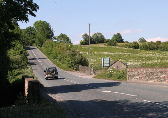
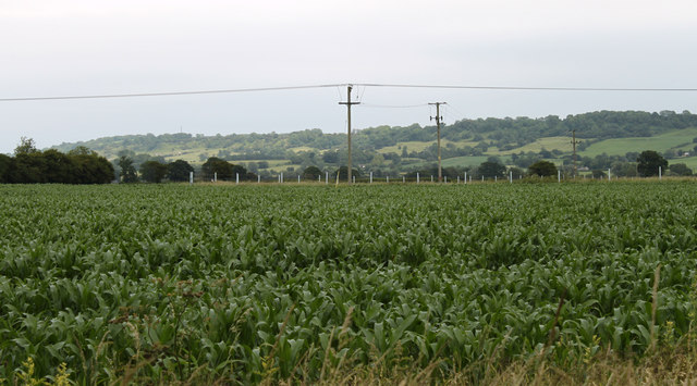
Littlecott is a small village located in the county of Wiltshire, England. Situated approximately 5 miles southeast of Marlborough, it is nestled amidst the picturesque landscape of the Marlborough Downs. The village is part of the civil parish of Ogbourne St Andrew and falls within the local government district of Wiltshire.

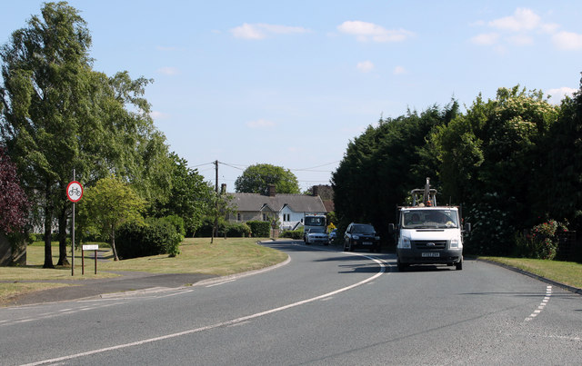
With a population of around 200 residents, Littlecott boasts a tight-knit community that thrives on its rural charm and tranquility. The village is primarily a residential area, characterized by a mix of traditional stone cottages and more modern housing developments. As a result of its idyllic setting, the village attracts those seeking a peaceful countryside lifestyle.

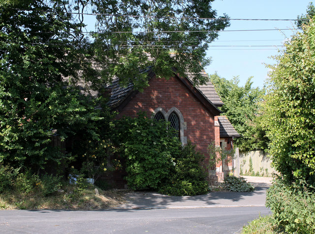
Despite its small size, Littlecott offers several amenities to its residents. These include a village hall which serves as a focal point for community gatherings and events. The village also benefits from a nearby primary school and a church, providing essential services for local families.

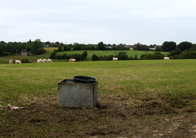
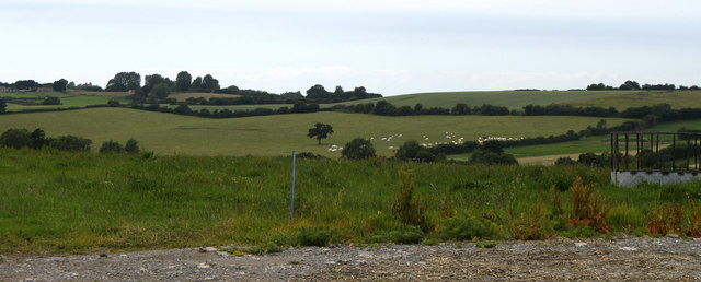
The surrounding countryside provides ample opportunities for outdoor activities, such as hiking, cycling, and horseback riding, with numerous footpaths and bridleways crisscrossing the area. Additionally, the village is within close proximity to the ancient Ridgeway, a popular long-distance trail that attracts walkers from far and wide.

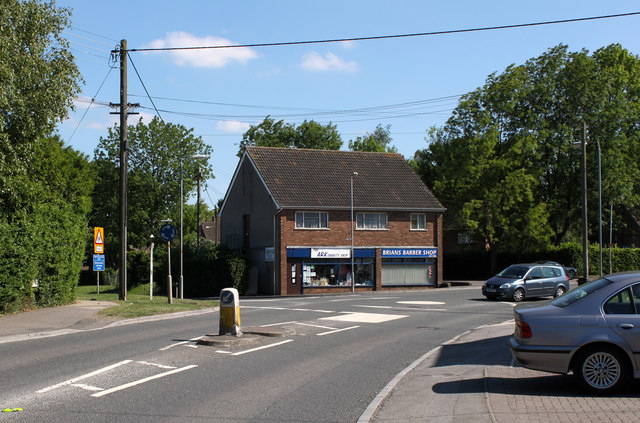
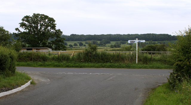
Littlecott's location offers convenient access to nearby towns and cities. Marlborough, with its vibrant high street and historic market, provides a range of shops, restaurants, and leisure facilities. The larger towns of Swindon and Newbury are also easily reachable, providing further amenities and employment opportunities.

In conclusion, Littlecott is a charming village that epitomizes the beauty and tranquility of rural Wiltshire. With its tight-knit community, picturesque surroundings, and convenient location, it offers an appealing lifestyle choice for those seeking a peaceful and idyllic countryside living.

If you have any feedback on the listing, please let us know in the comments section below.
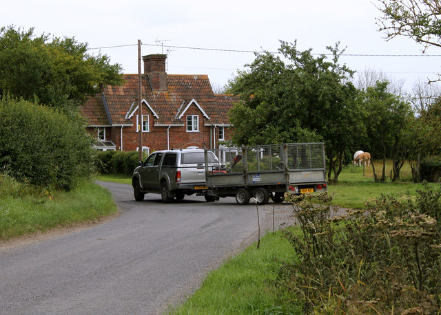
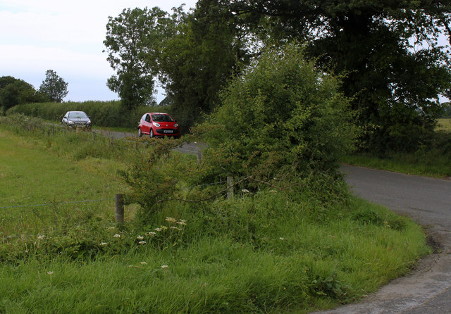
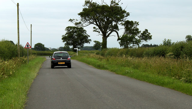
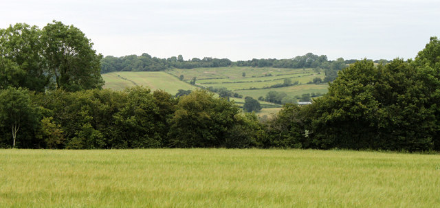
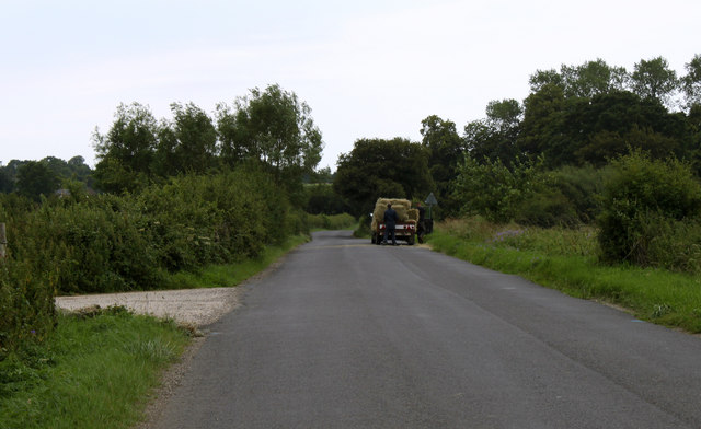
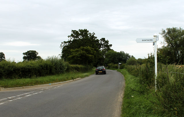
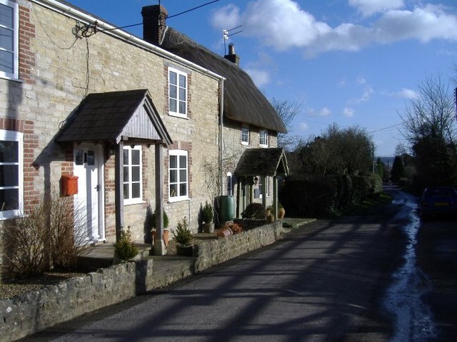
Littlecott Images

Images are sourced within 2km of 51.492144/-1.956121 or Grid Reference SU0377. Thanks to Geograph Open Source API. All images are credited.

2011 : Road surfacing machine parked in a field With crew.
One of three such machines parked in the vicinity waiting for orders.
This is a New Holland, the smallest of the three.
2011 : Road surfacing machine parked in a field
With crew. One of three such machines parked in the vicinity waiting for orders. This is a New Holland, the smallest of the three.
2011 : A3102 leaving Goatacre Heading north for Lyneham, about one mile away.
2011 : A3102 leaving Goatacre
Heading north for Lyneham, about one mile away.
2011 : Preston Lane, Lyneham The road to Preston, Bushton and Clyffe Pypard.
2011 : Preston Lane, Lyneham
The road to Preston, Bushton and Clyffe Pypard.
2011 : A3102 Calne Road, Lyneham Mini roundabout at the junction with Preston Road and shops.
<a href="https://www.geograph.org.uk/photo/301305">SU0278 : Takeaway options at Lyneham</a> shows the same scene in December 2006.
2011 : A3102 Calne Road, Lyneham
Mini roundabout at the junction with Preston Road and shops. SU0278 : Takeaway options at Lyneham shows the same scene in December 2006.
2011 : A3102 between Hilmarton and Goatacre Heading north toward Lyneham and Wootton Bassett.
2011 : A3102 between Hilmarton and Goatacre
Heading north toward Lyneham and Wootton Bassett.
2011 : Chapel in the trees on the road to New Zealand Seen from Quakers Walk, Goatacre.
The A3102 passes a few yards to the right.
2011 : Chapel in the trees on the road to New Zealand
Seen from Quakers Walk, Goatacre. The A3102 passes a few yards to the right.
2011 : A3102 at Goatacre Heading south to Hilmarton and Calne.
2011 : A3102 at Goatacre
Heading south to Hilmarton and Calne.
2011 : A3102 Calne Road, Lyneham Mini roundabout at Church End, Preston Lane leaves the roundabout to the left.
The Ark Charity Shop and Brians Barber Shop are on the far corner.
2011 : A3102 Calne Road, Lyneham
Mini roundabout at Church End, Preston Lane leaves the roundabout to the left. The Ark Charity Shop and Brians Barber Shop are on the far corner.
2011 : Minor  road approaching Spillman's Farm
2011 : Minor road approaching Spillman's Farm
2011 : Minor road to Hilmarton Passing Whitcombe Farm and Spillman's Farm on the way.
2011 : Minor road to Hilmarton
Passing Whitcombe Farm and Spillman's Farm on the way.
2011 : Crossroads on the road to Bushton Left to Littlecott right to Corton Manor Farm, straight on to Wootton Bassett.
2011 : Crossroads on the road to Bushton
Left to Littlecott right to Corton Manor Farm, straight on to Wootton Bassett.
2011 : North near Spillman's Farm Over a field of mowing grass about ready for cutting.
2011 : North near Spillman's Farm
Over a field of mowing grass about ready for cutting.
2011 : Cattle pasture near Spillman's Farm Looking north toward Goatacre.
2011 : Cattle pasture near Spillman's Farm
Looking north toward Goatacre.
2011 : From the minor road passing Spillman's Farm
2011 : Maize east of Hilmarton Well grown for end of June, should be over head height by end of August.
2011 : Maize east of Hilmarton
Well grown for end of June, should be over head height by end of August.
2011 : Sign on a minor road Hilmarton to the right, Bushton and Wootton Bassett to the left.
A Youth Hostel and a cycleway are also signed.
2011 : Sign on a minor road
Hilmarton to the right, Bushton and Wootton Bassett to the left. A Youth Hostel and a cycleway are also signed.
2011 : On the minor road to Hilmarton Seems to be unloading bales of straw from a farm trailer.
2011 : On the minor road to Hilmarton
Seems to be unloading bales of straw from a farm trailer.
2011 : Two signposts on the road to Bushton The first is to Goatacre, the second to Highway.
2011 : Two signposts on the road to Bushton
The first is to Goatacre, the second to Highway.
Show me another place!

Littlecott is located at Grid Ref: SU0377 (Lat: 51.492144, Lng: -1.956121)

Unitary Authority: Wiltshire

Police Authority: Wiltshire

What 3 Words

///enjoyable.dreamers.from. Near Lyneham, Wiltshire

Nearby Locations

Ashen Copse Littlecott

Related Wikis

Goatacre

Goatacre is a village in the English county of Wiltshire, about 4 miles (6 km) north of Calne and 1 mile (1.6 km) south of Lyneham on the A3102 road. It...

REME Museum

The REME Museum is within the MoD Lyneham site, in Lyneham, Wiltshire, England, about 9 miles (14 km) southwest of Swindon. The museum holds collections...

Lyneham, Wiltshire

Lyneham is a large village in north Wiltshire, England, within the civil parish of Lyneham and Bradenstoke, and situated 4 miles (6.4 km) southwest of...

New Zealand, Wiltshire

New Zealand is a hamlet in the civil parish of Hilmarton in Wiltshire, England. Nearby villages are Goatacre, Hilmarton and Lyneham; the nearest town is...

Nearby Amenities

Located within 500m of 51.492144,-1.956121
Littlecott
Place: hamlet
Source: NPE
Source Name: NPE
Lat/Long: 51.4919373/-1.953249
The data included in this document is from www.openstreetmap.org. The data is made available under ODbL.

Have you been to Littlecott?

Leave your review of Littlecott below (or comments, questions and feedback).