Holt Wood

Wood, Forest in Dorset

England

Holt Wood

Lodge Road Heading towards Gaunt's Common.
Lodge Road Credit: Robin Webster

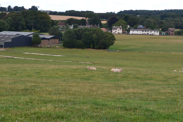
Holt Wood is a captivating woodland located in the county of Dorset, England. Covering an area of approximately 50 acres, this enchanting forest is nestled within the picturesque countryside, offering visitors a peaceful and serene escape from the hustle and bustle of everyday life.

The wood is predominantly composed of native broadleaf trees, with a diverse range of species including oak, ash, beech, and hazel. These majestic trees create a dense canopy that filters the sunlight, casting beautiful patterns of light and shadow on the forest floor. The woodland is also adorned with an array of vibrant wildflowers, adding bursts of color to the landscape during the spring and summer months.

Holt Wood is a haven for wildlife, providing a safe habitat for many species to thrive. Visitors may catch a glimpse of deer gracefully roaming through the trees, or hear the melodic songs of various bird species such as the blackbird and the great tit. The wood is also home to a variety of small mammals, including badgers, foxes, and squirrels.

The wood is open to the public, offering a network of well-maintained footpaths that meander through the forest, allowing visitors to explore its hidden nooks and crannies. There are also picnic areas where visitors can relax and enjoy a meal surrounded by nature's beauty.

Holt Wood is a true gem in Dorset's natural landscape, providing a sanctuary for both nature enthusiasts and those seeking tranquility. With its diverse tree species, vibrant wildflowers, and abundant wildlife, this woodland offers a unique and captivating experience for all who venture within its boundaries.

If you have any feedback on the listing, please let us know in the comments section below.
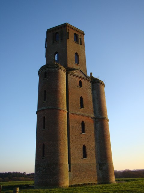
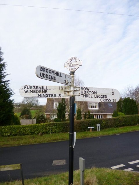
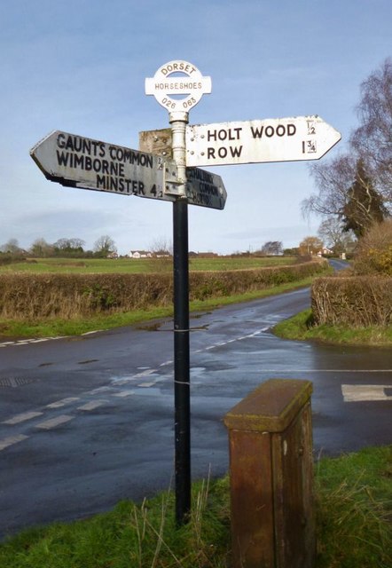
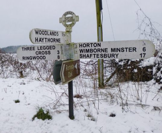
Holt Wood Images

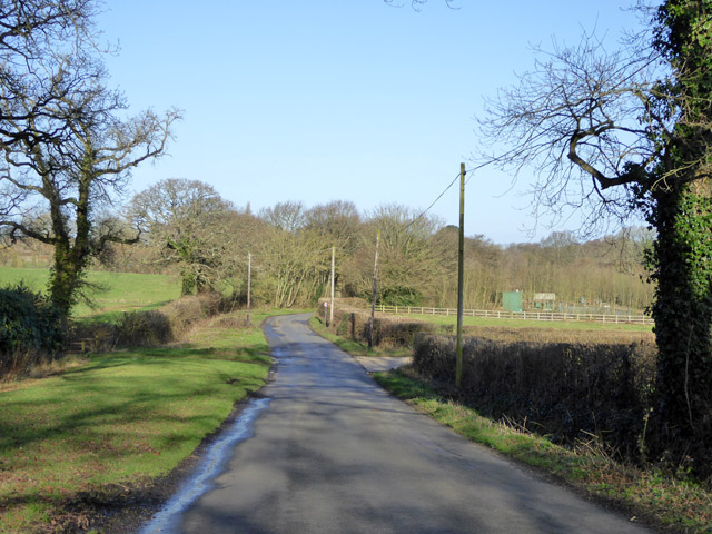
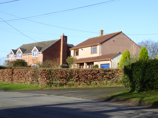
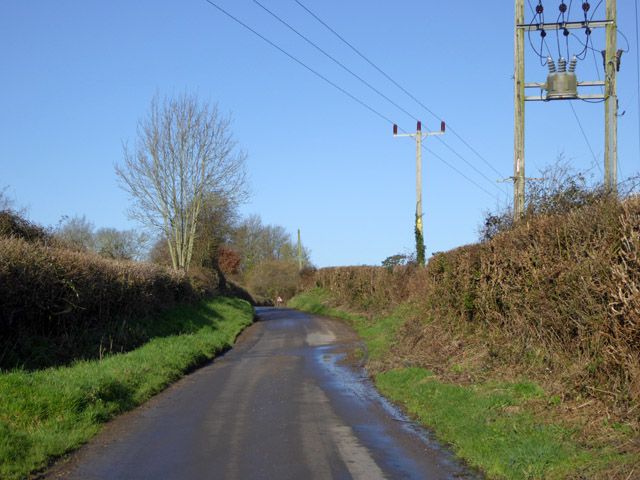
Images are sourced within 2km of 50.851278/-1.9565367 or Grid Reference SU0305. Thanks to Geograph Open Source API. All images are credited.

Lodge Road Heading towards Gaunt's Common.
Lodge Road
Heading towards Gaunt's Common.
Houses on Petersham Lane, Gaunt's Common The last houses going south.
Houses on Petersham Lane, Gaunt's Common
The last houses going south.
Woodcutts Lane Heading towards Witchampton.
Woodcutts Lane
Heading towards Witchampton.
Hinton Martell, St John the Evangelist
Horton Tower, and surrounding woodland
Old Direction Sign - Signpost in Holt, East Dorset Annulus & bar finial - 3 arms; Dorset halo with NGR by the UC road, in parish of Holt (East Dorset District), Holt, North corner of village green opposite village hall. Holt Lane junction with Hart's Lane.

Surveyed

Milestone Society National ID: DO_SU0203.
Old Direction Sign - Signpost in Holt, East Dorset
Annulus & bar finial - 3 arms; Dorset halo with NGR by the UC road, in parish of Holt (East Dorset District), Holt, North corner of village green opposite village hall. Holt Lane junction with Hart's Lane. Surveyed Milestone Society National ID: DO_SU0203.
Old Direction Sign - Signpost in Horton village Annulus and bar finial - 3 arms; Dorset halo with NGR by the UC road, in parish of Horton (East Dorset District), Horton, junction with UC road to Chalbury Common.

Surveyed

Milestone Society National ID: DO_SU0207
Old Direction Sign - Signpost in Horton village
Annulus and bar finial - 3 arms; Dorset halo with NGR by the UC road, in parish of Horton (East Dorset District), Horton, junction with UC road to Chalbury Common. Surveyed Milestone Society National ID: DO_SU0207
Old Direction Sign - Signpost by Hell Corner, Chalbury Common Annulus and bar finial - 3 arms; Dorset halo with NGR by the UC road, in parish of Holt (East Dorset District), Chalbury Common, junction with UC road to Chalbury.

Surveyed

Milestone Society National ID: DO_SU0206B
Old Direction Sign - Signpost by Hell Corner, Chalbury Common
Annulus and bar finial - 3 arms; Dorset halo with NGR by the UC road, in parish of Holt (East Dorset District), Chalbury Common, junction with UC road to Chalbury. Surveyed Milestone Society National ID: DO_SU0206B
Old Direction Sign - Signpost at Horseshoes, Holt parish Annulus and bar finial - 4 arms; Dorset halo with NGR by the UC road, in parish of Holt (East Dorset District), Horseshoes, Uppington, at crossroads UC road to Uppington and Holt.

Surveyed

Milestone Society National ID: DO_SU0206A
Old Direction Sign - Signpost at Horseshoes, Holt parish
Annulus and bar finial - 4 arms; Dorset halo with NGR by the UC road, in parish of Holt (East Dorset District), Horseshoes, Uppington, at crossroads UC road to Uppington and Holt. Surveyed Milestone Society National ID: DO_SU0206A
Old Direction Sign - Signpost by Horton Road, Horton Annulus and bar finial - 4 arms; Dorset halo with NGR by the UC road, in parish of Horton (East Dorset District), T-junction of Horton Road with UC road to Haythorne and Woodlands.

Surveyed

Milestone Society National ID: DO_SU0307
Old Direction Sign - Signpost by Horton Road, Horton
Annulus and bar finial - 4 arms; Dorset halo with NGR by the UC road, in parish of Horton (East Dorset District), T-junction of Horton Road with UC road to Haythorne and Woodlands. Surveyed Milestone Society National ID: DO_SU0307
Road junction at Horton
View across field towards Horton
Church of Wolfrida, Horton
Horton Tower
Horton Tower
Path from Horton Tower
Church of St John the Evangelist, Hinton Martell
Fountain, Hinton Martell
Hinton Martell, stile At the beginning of a path from Woodcutts Lane across farmland to Gaunt's Common.
Hinton Martell, stile
At the beginning of a path from Woodcutts Lane across farmland to Gaunt's Common.
Show me another place!

Holt Wood is located at Grid Ref: SU0305 (Lat: 50.851278, Lng: -1.9565367)

Unitary Authority: Dorset

Police Authority: Dorset

What 3 Words

///sides.boast.prance. Near Three Legged Cross, Dorset

Related Wikis

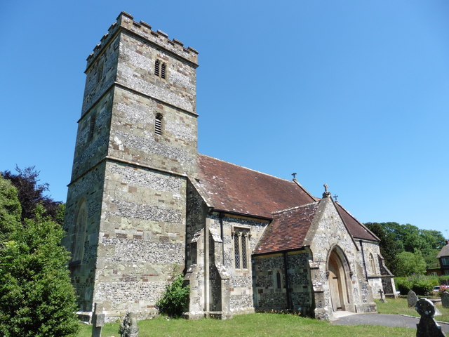
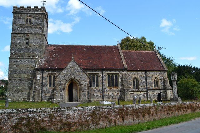
All Saints' Church, Chalbury

All Saints' Church is a Church of England church in Chalbury, Dorset, England. It has 13th-century origins, with later alterations and additions, and many...

Chalbury

Chalbury is a village in the English county of Dorset. It lies on the southern edge of Cranborne Chase within the East Dorset administrative district of...

Horton Priory

Horton Priory was a priory at Horton in Dorset, England. It was founded as a Benedictine abbey around 970 by Ordgar, Earl of Devon, or his son, Ordulph...

Horton, Dorset

Horton is a village in East Dorset, England, situated on the boundary between the chalk downland of Cranborne Chase and the Dorset Heaths, and ten miles...

Nearby Amenities

Located within 500m of 50.851278,-1.9565367
Holt Wood
Alt Name: Holtwood
Place: village
Source: NPE + local knowledge
Lat/Long: 50.8550621/-1.9603116
Booth: K6
Covered: booth
Note: I don't recall seeing it when I surveyed the post box etc.
Removed Amenity: telephone
Lat/Long: 50.8535855/-1.9567859
Post Box
Collection Times: Mo-Fr 10:30; Sa 09:00
Operator: Royal Mail
Post Box Type: lamp
Ref: BH21 20
Ref GB Uprn: 10015472134
Royal Cypher: EIIR
Royal Cypher Wikidata: Q33102113
Source: survey
Lat/Long: 50.8535733/-1.9567723
Holt Parish Council
Board Type: notice
Information: board
Tourism: information
Lat/Long: 50.8535599/-1.9567443
Fire Hydrant
Emergency: fire_hydrant
Fire Hydrant Diameter: 125
Fire Hydrant Type: underground
Ref: 13657
Source: survey
Lat/Long: 50.846864/-1.955362
Fire Hydrant
Emergency: fire_hydrant
Fire Hydrant Diameter: 125
Fire Hydrant Type: underground
Ref: 12553
Source: survey
Lat/Long: 50.849244/-1.955098
Power: pole
Source: bing
Lat/Long: 50.8519473/-1.955179
Power: pole
Source: bing
Lat/Long: 50.8515269/-1.9551892
Power: pole
Source: bing
Lat/Long: 50.8476344/-1.9564395
Power: pole
Source: bing
Lat/Long: 50.8483962/-1.9566945
Power: pole
Source: bing
Lat/Long: 50.8491064/-1.9559557
Power: pole
Source: bing
Lat/Long: 50.8511313/-1.955195
Power: pole
Source: bing
Lat/Long: 50.8504809/-1.9520782
Power: pole
Source: bing
Lat/Long: 50.8504975/-1.9526363
Power: pole
Source: bing
Lat/Long: 50.8505297/-1.9536694
Fuse: yes
Material: wood
Power: pole
Rating: 25 Amp
Ref Fuse: ASL 1718
Source: survey;bing
Lat/Long: 50.8505421/-1.9548592
Material: wood
Power: pole
Source: survey;bing
Lat/Long: 50.8505605/-1.9552074
Man Made: utility_pole
Material: wood
Operator: BT OpenReach
Power: pole
Ref: 825439;DP 87
Source: survey
Utility: telecom
Lat/Long: 50.8535576/-1.9567622
Addr Housename: Silvan
Lat/Long: 50.8550534/-1.9599898
The data included in this document is from www.openstreetmap.org. The data is made available under ODbL.

Have you been to Holt Wood?

Leave your review of Holt Wood below (or comments, questions and feedback).