Hell Clough

Wood, Forest in Staffordshire East Staffordshire

England

Hell Clough

Leigh Level Crossing The station has disappeared, but a signalbox <a title="https://www.geograph.org.uk/photo/3748106" href="https://www.geograph.org.uk/photo/3748106">Link</a> has been (?re-)built on adjacent premises.
Leigh Level Crossing Credit: Alan Murray-Rust

Hell Clough is a woodland area located in Staffordshire, England. Nestled within the picturesque countryside, the clough covers an approximate area of 200 acres. The name "Hell Clough" derives from the Old English word "helle," meaning a hidden or secluded place, combined with the term "clough," which refers to a steep-sided valley or ravine. The dense forest that characterizes the area adds an air of mystery and allure to its name.

The woodland boasts an impressive variety of tree species including oak, beech, ash, and birch, creating a rich and diverse ecosystem. The forest floor is adorned with a vibrant carpet of bluebells during the spring season, enhancing the natural beauty of the surroundings. A multitude of bird species call Hell Clough their home, making it an ideal destination for birdwatchers, nature enthusiasts, and photographers.

Several walking trails wind through the clough, providing visitors with an opportunity to explore the enchanting woodland. The tranquil atmosphere and lush greenery make Hell Clough a popular spot for relaxation and contemplation, offering an escape from the hustle and bustle of everyday life.

Hell Clough's proximity to nearby villages and towns allows for easy access, making it a cherished destination for both locals and tourists alike. Whether it be for a peaceful stroll, wildlife observation, or simply immersing oneself in nature's beauty, Hell Clough promises an unforgettable experience for all who venture into its verdant embrace.

If you have any feedback on the listing, please let us know in the comments section below.

Hell Clough Images

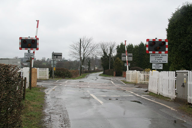
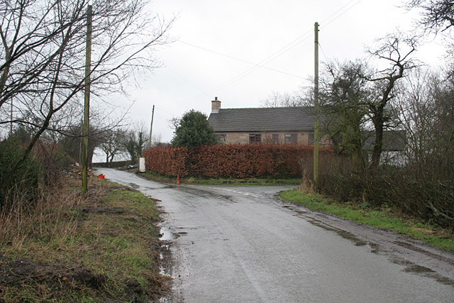
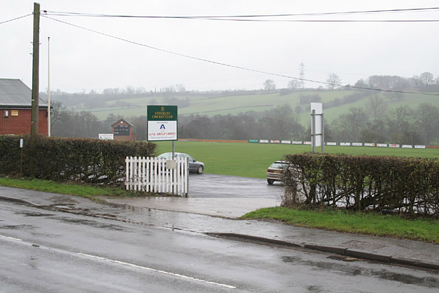
Images are sourced within 2km of 52.928077/-1.9542753 or Grid Reference SK0336. Thanks to Geograph Open Source API. All images are credited.

Leigh Level Crossing The station has disappeared, but a signalbox <a title="https://www.geograph.org.uk/photo/3748106" href="https://www.geograph.org.uk/photo/3748106">Link</a> has been (?re-)built on adjacent premises.
Leigh Level Crossing
The station has disappeared, but a signalbox Link has been (?re-)built on adjacent premises.
The lane to Upper Leigh The building on the right appears to have been an alehouse. It carries a stone with the following inscription:
"Walk in my friend and Drink with me
Heres ALE as good as e'er you see
Refresh yourself it is no CRIME
Stay not too long to Spend your time
Francis Sherratt 1751"
Update (via an external correspondent) - until the 1960s this was the Railway Tavern serving Bass products. (Clearly not the original name as there was no railway in 1751!)
The lane to Upper Leigh
The building on the right appears to have been an alehouse. It carries a stone with the following inscription: "Walk in my friend and Drink with me Heres ALE as good as e'er you see Refresh yourself it is no CRIME Stay not too long to Spend your time Francis Sherratt 1751" Update (via an external correspondent) - until the 1960s this was the Railway Tavern serving Bass products. (Clearly not the original name as there was no railway in 1751!)
Steep hill at Leigh Bank This is the valley of the River Tean, a Staffordshire tributary of the River Dove
Steep hill at Leigh Bank
This is the valley of the River Tean, a Staffordshire tributary of the River Dove
The Derby to Stoke railway at Bent's Farm Bridge
The Star Inn at Church Leigh Church Leigh, Lower Leigh, Upper Leigh and Dods Leigh share one church!
The Star Inn at Church Leigh
Church Leigh, Lower Leigh, Upper Leigh and Dods Leigh share one church!
Farm buildings at Park Hall. Clearly there has been a settlement here for a long time; the OS map indicates the presence of an ancient moat.
Farm buildings at Park Hall.
Clearly there has been a settlement here for a long time; the OS map indicates the presence of an ancient moat.
Checkley Village
Checkley Village
Checkley Cricket Club . . . with a rain-obscured view across the valley of the River Tean
Checkley Cricket Club
. . . with a rain-obscured view across the valley of the River Tean
Farmers Arms at Withington The half-timbered construction is genuine!
Farmers Arms at Withington
The half-timbered construction is genuine!
Farmland near Withington The woodland on the horizon carries the name Hell Clough
Farmland near Withington
The woodland on the horizon carries the name Hell Clough
A522 at Deadman's Green This was the old A50 from Leicester to the Potteries. Before the opening of the new dual carriageway A50, there was a constant stream of traffic along here.
A522 at Deadman's Green
This was the old A50 from Leicester to the Potteries. Before the opening of the new dual carriageway A50, there was a constant stream of traffic along here.
Upper Nobut Nobbut a little place - a hall, a farm an half-a-dozen cottages
Upper Nobut
Nobbut a little place - a hall, a farm an half-a-dozen cottages
Buildings at Fole Farm This is an old established farm from at least the mid-18th century, improved with new building around 1846.
I am indebted to a former resident of this farm for the information and dates.
Buildings at Fole Farm
This is an old established farm from at least the mid-18th century, improved with new building around 1846. I am indebted to a former resident of this farm for the information and dates.
Fole Bridge - where to next? In practice the main road makes a sharp turn to the left on the other side of the bridge.
Fole Bridge - where to next?
In practice the main road makes a sharp turn to the left on the other side of the bridge.
Field of Dandelions All Saints church and Church Leigh village above a field of dandelions.
Field of Dandelions
All Saints church and Church Leigh village above a field of dandelions.
Field pond, Checkley
Fields above Checkley
New Houses The village of Church Leigh Is expanding.
New Houses
The village of Church Leigh Is expanding.
Show me another place!

Hell Clough is located at Grid Ref: SK0336 (Lat: 52.928077, Lng: -1.9542753)

Administrative County: Staffordshire

District: East Staffordshire

Police Authority: Staffordshire

What 3 Words

///budget.trinkets.manifests. Near Cheadle, Staffordshire

Nearby Locations

Hell Clough Hell Clough

Related Wikis

Leigh, Staffordshire

Leigh is a civil parish in the English county of Staffordshire. The parish includes the village of Church Leigh, together with the settlements of Withington...

St Mary's and All Saints' Church, Checkley

St Mary's and All Saints' Church is an Anglican church in the village of Checkley, Staffordshire, England. It is a Grade I listed building. The oldest...

Checkley

Checkley is a village and civil parish in the district of Staffordshire Moorlands in the English county of Staffordshire. == Location == The village is...

Uttoxeter Road

Uttoxeter Road (also known as Four Trees) is a cricket ground located along the Uttoxeter Road between the villages of Lower Tean and Checkley in Staffordshire...

Nearby Amenities

Located within 500m of 52.928077,-1.9542753
Power: tower
Source: Bing
Lat/Long: 52.9311025/-1.9521544
Power: tower
Source: Bing
Lat/Long: 52.9293693/-1.9481204
Phone
Emergency: phone
Source: survey
Lat/Long: 52.9321111/-1.95675
Parking
Access: yes
Fee: no
Parking: layby
Source: survey
Lat/Long: 52.9321789/-1.9569706
Parking
Fee: no
Parking: layby
Source: survey
Lat/Long: 52.9289427/-1.9493035
Parking
Fee: no
Parking: layby
Source: survey
Lat/Long: 52.9292386/-1.9492427
The data included in this document is from www.openstreetmap.org. The data is made available under ODbL.

Have you been to Hell Clough?

Leave your review of Hell Clough below (or comments, questions and feedback).