Bank's Covert

Wood, Forest in Staffordshire Stafford

England

Bank's Covert

View to Millennium Green, Hixon, Staffordshire The view is taken from the car park. The Bank House public house is immediately behind the camera. The Hixon Millennium Green was opened on January 1st 2000 as part of a nationwide series of Millennium Greens in England each managed by trustees.
View to Millennium Green, Hixon, Staffordshire Credit: Rod Grealish

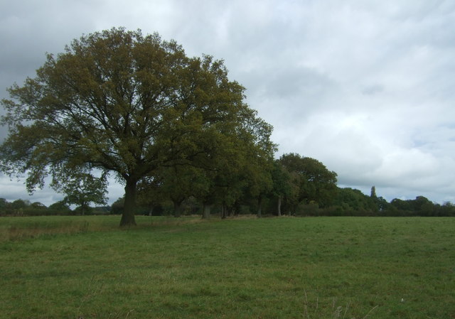
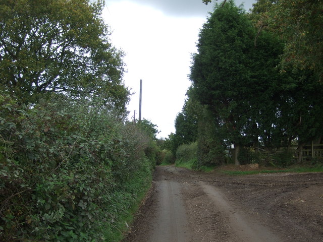
Bank's Covert is a woodland area located in Staffordshire, England. Nestled within the larger Staffordshire Forest, this particular woodland offers visitors a serene and picturesque environment. The name "Covert" refers to a hidden or sheltered place, and this aptly describes the tranquil atmosphere found within the woods.

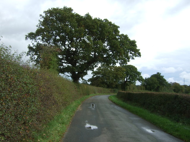
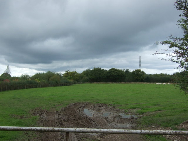
With an area spanning several acres, Bank's Covert is home to a diverse range of flora and fauna. The woodland is primarily composed of tall, mature trees that provide ample shade and a sense of solitude. Oak, beech, and birch trees dominate the landscape, creating a dense canopy that filters sunlight and casts beautiful patterns on the forest floor.

In addition to the impressive trees, Bank's Covert boasts an array of wildflowers and plants that add bursts of color to the landscape. Bluebells, primroses, and wild garlic are just a few examples of the vibrant flora that can be found here.

The woodland also serves as a habitat for various wildlife species. Visitors may encounter squirrels, badgers, and foxes, as well as a wide variety of bird species. The tranquil environment and abundance of natural resources make Bank's Covert an ideal location for wildlife to thrive.

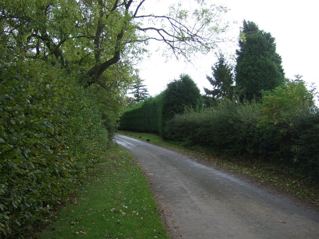
For those seeking outdoor activities, Bank's Covert offers several walking trails and paths that wind through the woods. These trails provide an opportunity to explore the woodland and appreciate its natural beauty. Whether visitors are looking for a peaceful stroll or a more adventurous hike, there is something for everyone in this enchanting woodland.

Overall, Bank's Covert is a hidden gem in Staffordshire, offering a peaceful escape from the hustle and bustle of everyday life. Its lush vegetation, diverse wildlife, and serene atmosphere make it a must-visit destination for nature lovers and outdoor enthusiasts alike.

If you have any feedback on the listing, please let us know in the comments section below.

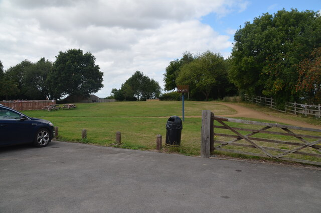
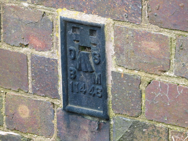
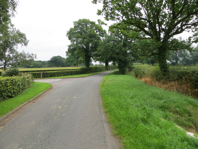
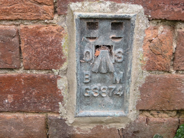
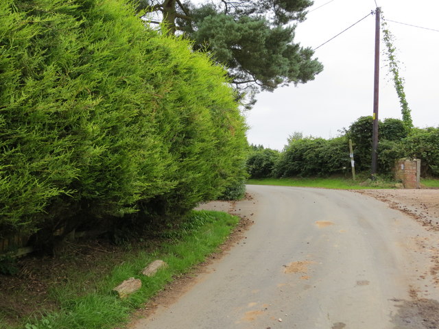
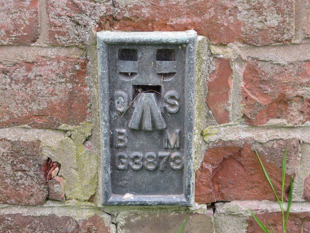
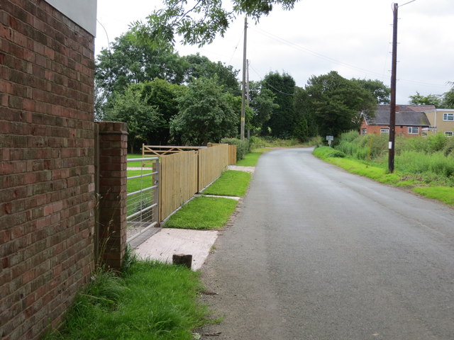
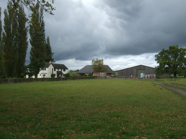
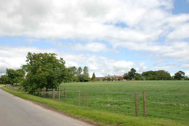
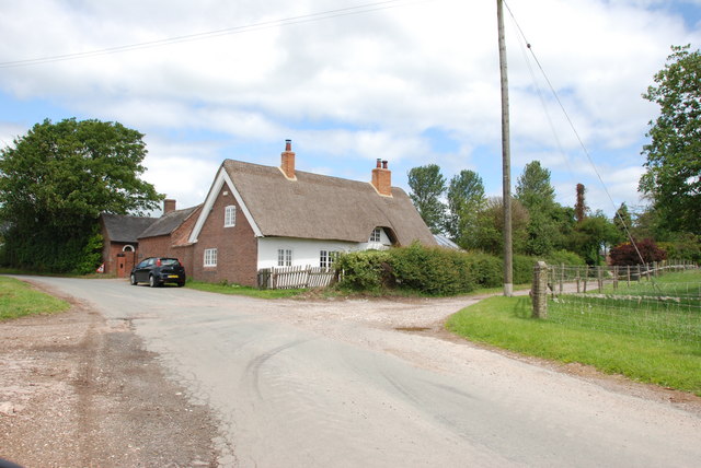
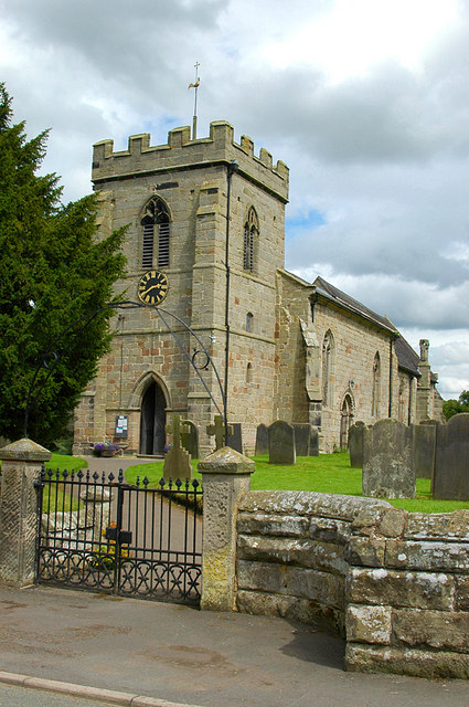
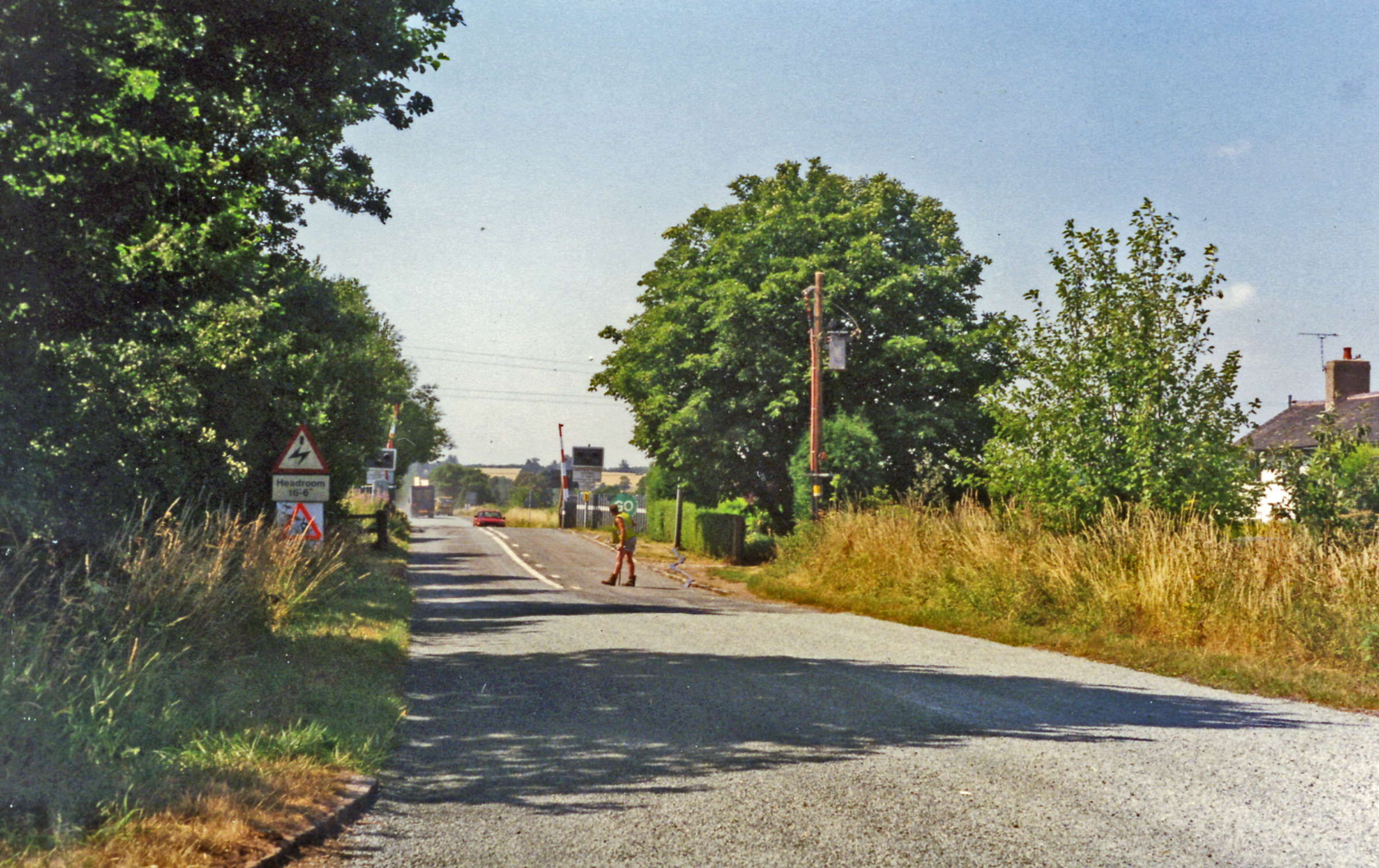
Bank's Covert Images

Images are sourced within 2km of 52.826988/-1.9726058 or Grid Reference SK0125. Thanks to Geograph Open Source API. All images are credited.

View to Millennium Green, Hixon, Staffordshire The view is taken from the car park. The Bank House public house is immediately behind the camera. The Hixon Millennium Green was opened on January 1st 2000 as part of a nationwide series of Millennium Greens in England each managed by trustees.
View to Millennium Green, Hixon, Staffordshire
The view is taken from the car park. The Bank House public house is immediately behind the camera. The Hixon Millennium Green was opened on January 1st 2000 as part of a nationwide series of Millennium Greens in England each managed by trustees.
Ordnance Survey Flush Bracket 11448 This can be found on the parapet wall of a roadside drain near Normanswood Farm.
For more detail see : <span class="nowrap"><a title="http://www.bench-marks.org.uk/bm19179" rel="nofollow ugc noopener" href="http://www.bench-marks.org.uk/bm19179">Link</a><img style="margin-left:2px;" alt="External link" title="External link - shift click to open in new window" src="https://s1.geograph.org.uk/img/external.png" width="10" height="10"/></span>
Ordnance Survey Flush Bracket 11448
This can be found on the parapet wall of a roadside drain near Normanswood Farm. For more detail see : LinkExternal link
Drointon Lane near the entrance to Normanswood Farm Looking north-eastward.
Drointon Lane near the entrance to Normanswood Farm
Looking north-eastward.
Ordnance Survey Flush Bracket G3874 This can be found on the wall of a barn at Upper Farm, Drointon.
For more detail see : <span class="nowrap"><a title="http://www.bench-marks.org.uk/bm11084" rel="nofollow ugc noopener" href="http://www.bench-marks.org.uk/bm11084">Link</a><img style="margin-left:2px;" alt="External link" title="External link - shift click to open in new window" src="https://s1.geograph.org.uk/img/external.png" width="10" height="10"/></span>
Ordnance Survey Flush Bracket G3874
This can be found on the wall of a barn at Upper Farm, Drointon. For more detail see : LinkExternal link
Lane near Upper Farm at Drointon Looking north-eastward.
Lane near Upper Farm at Drointon
Looking north-eastward.
Ordnance Survey Flush Bracket G3873 This can be found on the roadside wall of a former barn - now a private dwelling - at Lea Heath Farm.
For more detail see : <span class="nowrap"><a title="http://www.bench-marks.org.uk/bm10450" rel="nofollow ugc noopener" href="http://www.bench-marks.org.uk/bm10450">Link</a><img style="margin-left:2px;" alt="External link" title="External link - shift click to open in new window" src="https://s1.geograph.org.uk/img/external.png" width="10" height="10"/></span>
Ordnance Survey Flush Bracket G3873
This can be found on the roadside wall of a former barn - now a private dwelling - at Lea Heath Farm. For more detail see : LinkExternal link
Lea Road at Lea Heath Farm Looking south-eastward.
Lea Road at Lea Heath Farm
Looking south-eastward.
Normanswood Farm
Normanswood Farm
Grazing and trees near Normanswood Farm
Minor road towards Drointon Looking north east.
Minor road towards Drointon
Looking north east.
Lane, Drointon Looking east.
Lane, Drointon
Looking east.
Grazing, Drointon
Grazing, Drointon
Muddy lane near Plough Farm Heading north east from Drointon.
Muddy lane near Plough Farm
Heading north east from Drointon.
Elizabeth II postbox, Drointon Postbox No. ST18 150.

See <a href="https://www.geograph.org.uk/photo/5565783">SK0226 : Minor road junction, Drointon</a> for context.
Elizabeth II postbox, Drointon
Postbox No. ST18 150. See SK0226 : Minor road junction, Drointon for context.
Minor road junction, Drointon Showing position of Postbox No. ST18 150.

See <a href="https://www.geograph.org.uk/photo/5565781">SK0226 : Elizabeth II postbox, Drointon</a> for postbox.
Minor road junction, Drointon
Showing position of Postbox No. ST18 150. See SK0226 : Elizabeth II postbox, Drointon for postbox.
St. Peter's Church, Hixon The 19th century parish church of Saint Peter is a Grade II listed building, in the early English Gothic style and was designed and built by the English Gothic revival architect George Gilbert Scott.

The site for the church was given by Lord Talbot and had previously been occupied by a windmill: this gives the church an unusual location on high ground, away from the road, on the edge of the village. The foundation stone was laid by the Marchioness of Lothian in July 1846. The Church was consecrated on St. Peter's Day 1848 (Tuesday, 29 June) by the then Bishop of Lichfield, John Lonsdale.

The church is part of the combined Mid-Trent Churches benefice of the Diocese of Lichfield, covering ten churches across eight parishes.

<span class="nowrap"><a title="https://en.wikipedia.org/wiki/Hixon,_Staffordshire" rel="nofollow ugc noopener" href="https://en.wikipedia.org/wiki/Hixon,_Staffordshire">Link</a><img style="margin-left:2px;" alt="External link" title="External link - shift click to open in new window" src="https://s1.geograph.org.uk/img/external.png" width="10" height="10"/></span>
St. Peter's Church, Hixon
The 19th century parish church of Saint Peter is a Grade II listed building, in the early English Gothic style and was designed and built by the English Gothic revival architect George Gilbert Scott. The site for the church was given by Lord Talbot and had previously been occupied by a windmill: this gives the church an unusual location on high ground, away from the road, on the edge of the village. The foundation stone was laid by the Marchioness of Lothian in July 1846. The Church was consecrated on St. Peter's Day 1848 (Tuesday, 29 June) by the then Bishop of Lichfield, John Lonsdale. The church is part of the combined Mid-Trent Churches benefice of the Diocese of Lichfield, covering ten churches across eight parishes. LinkExternal link
Newton Farm, Newton
Newton Farm, Newton
Thatched Cottage, Newton
Show me another place!

Bank's Covert is located at Grid Ref: SK0125 (Lat: 52.826988, Lng: -1.9726058)

Administrative County: Staffordshire

District: Stafford

Police Authority: Staffordshire

What 3 Words

///deflection.orange.squashes. Near Great Haywood, Staffordshire

Nearby Locations

Shaw's Rough Bank's Covert

Related Wikis

Hixon, Staffordshire

Hixon is a village and a civil parish in the English county of Staffordshire.grid reference SK003259 == Location == The village is 7.8 miles (12.6 km)...

Stowe-by-Chartley

Stowe-by-Chartley is a village and civil parish in the Borough of Stafford, Staffordshire, England. According to the parish council, the parish includes...

Chartley railway station

Chartley railway station was a former British railway station to serve the village of Stowe-by-Chartley in Staffordshire. It was opened by the Stafford...

RAF Hixon

Royal Air Force Hixon, or more simply RAF Hixon, was a Royal Air Force station located on the north western edge of the village of Hixon in Staffordshire...

RAF Seighford

Royal Air Force Seighford or more simply RAF Seighford is a former Royal Air Force satellite station located 3.6 miles (5.8 km) northwest of Stafford,...

Hixon railway station

Hixon railway station is a disused railway station in Staffordshire, England. The railway line between Stone and Colwich was opened by the North Staffordshire...

Amerton

Amerton is a small village in the Borough of Stafford, Staffordshire, England, situated on the A518 road between Stafford and Uttoxeter. The population...

Hixon rail crash

On 6 January 1968, a low-loader transporter carrying a 120-ton electrical transformer was struck by a British Rail express train on a recently installed...

Nearby Amenities

Located within 500m of 52.826988,-1.9726058
Generator Method: photovoltaic
Generator Output Electricity: yes
Generator Source: solar
Generator Type: solar_photovoltaic_panel
Location: roof
Power: generator
Lat/Long: 52.8303321/-1.9748153
Generator Method: photovoltaic
Generator Output Electricity: yes
Generator Source: solar
Generator Type: solar_photovoltaic_panel
Location: roof
Power: generator
Lat/Long: 52.8302859/-1.9747858
The data included in this document is from www.openstreetmap.org. The data is made available under ODbL.

Have you been to Bank's Covert?

Leave your review of Bank's Covert below (or comments, questions and feedback).