Town Wood

Wood, Forest in Northumberland

England

Town Wood

Maidenkirk Brae The lighthouse that marks the end of the pier on the north side of the mouth of the River Tweed at Berwick is just visible to the right of the cliff-line.
Maidenkirk Brae Credit: Andrew Curtis

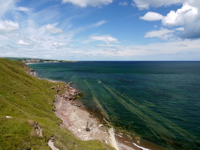
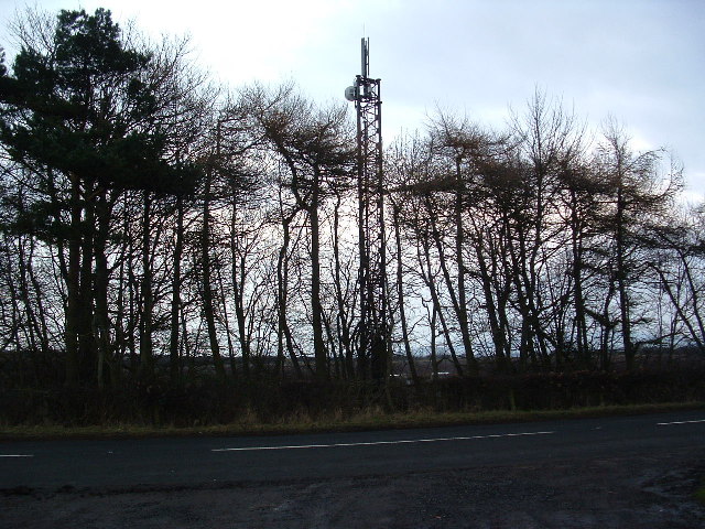
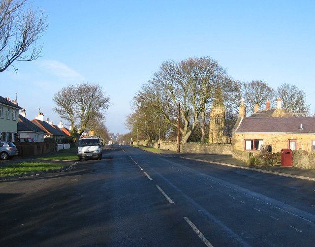
Town Wood is a picturesque forest located in the county of Northumberland in northeast England. Situated near the town of Wood, this woodland covers an area of approximately 500 acres and is known for its natural beauty and diverse ecosystem.

The forest is predominantly made up of native tree species, including oak, beech, and birch, which create a dense canopy and provide habitats for a wide range of wildlife. The forest floor is adorned with a colorful carpet of wildflowers during the spring and summer months, including bluebells, primroses, and foxgloves.

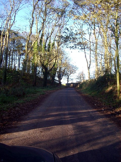
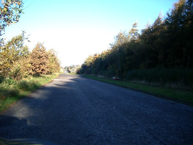
Visitors to Town Wood can explore a network of well-maintained walking trails that meander through the forest, allowing them to immerse themselves in nature and enjoy the tranquil surroundings. The trails cater to all levels of fitness and offer opportunities for both short walks and longer hikes.

The forest is also home to a variety of wildlife, including deer, squirrels, and a multitude of bird species. Birdwatchers can spot woodpeckers, owls, and jays among the trees, while lucky visitors might even catch a glimpse of a red squirrel darting amongst the branches.

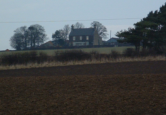
Town Wood is not only a haven for nature enthusiasts but also a popular recreational spot for locals and tourists alike. The forest provides ample space for picnicking, camping, and other outdoor activities, making it a perfect destination for families and nature lovers seeking a peaceful retreat amidst the natural beauty of Northumberland.

If you have any feedback on the listing, please let us know in the comments section below.

Town Wood Images

Images are sourced within 2km of 55.728392/-1.9705184 or Grid Reference NU0148. Thanks to Geograph Open Source API. All images are credited.

Maidenkirk Brae The lighthouse that marks the end of the pier on the north side of the mouth of the River Tweed at Berwick is just visible to the right of the cliff-line.
Maidenkirk Brae
The lighthouse that marks the end of the pier on the north side of the mouth of the River Tweed at Berwick is just visible to the right of the cliff-line.
Redshin Cove North-north westerly trending bands of limestone are exposed at low tide. View towards Berwick-upon-Tweed.
Redshin Cove
North-north westerly trending bands of limestone are exposed at low tide. View towards Berwick-upon-Tweed.
Cocklawburn Beach sand, rock, wind and North Sea
Cocklawburn Beach
sand, rock, wind and North Sea
Cattle, Cocklawburn dunes taken from by the old lime works, looking north up the dunes to Cocklaw Beach. Part of the Lindisfarne nature reserve
Cattle, Cocklawburn dunes
taken from by the old lime works, looking north up the dunes to Cocklaw Beach. Part of the Lindisfarne nature reserve
Level Crossing nr Sea House This was the site of the old Scremerston Station
Level Crossing nr Sea House
This was the site of the old Scremerston Station
Wood between Windyridge and Borewell on the road from Scremeston to Cocklaw Beach
Wood between Windyridge and Borewell
on the road from Scremeston to Cocklaw Beach
Layby south of Scremerston (part of old road) Nightmare conditions with the dark wood and the bright sun, so sorry, not as good as it would be if I had a better camera
Layby south of Scremerston (part of old road)
Nightmare conditions with the dark wood and the bright sun, so sorry, not as good as it would be if I had a better camera
Lodge House by West Hall lodge for Cheswick House
Lodge House by West Hall
lodge for Cheswick House
Black Cattle, above Cocklawburn Beach They moved move into the middle of the road, the closer I got to them - defending their territory from the blue carshaped rival beast, no doubt.
Black Cattle, above Cocklawburn Beach
They moved move into the middle of the road, the closer I got to them - defending their territory from the blue carshaped rival beast, no doubt.
Scremerston Hill Farm A commanding position looking West to the Cheviot Hills.
Scremerston Hill Farm
A commanding position looking West to the Cheviot Hills.
The Cat Inn A pub, B&B and restaurant quite popular in summer. It is adjacent to the main A1.
The Cat Inn
A pub, B&B and restaurant quite popular in summer. It is adjacent to the main A1.
Oxford Ponds with Swans These ponds of which this is the biggest were formerly Quarries. The old quarry to the east of this one is a closed landfill site.
Oxford Ponds with Swans
These ponds of which this is the biggest were formerly Quarries. The old quarry to the east of this one is a closed landfill site.
The Invasive Species A new tree species that is rapidly taking over from the English Oak.
The wood is actually called Road Ends Wood
The Invasive Species
A new tree species that is rapidly taking over from the English Oak. The wood is actually called Road Ends Wood
Cocklawburn Pond I think a limestone quarry as there are some old lime kilns a short distance away. Now private fishing.
Cocklawburn Pond
I think a limestone quarry as there are some old lime kilns a short distance away. Now private fishing.
Cheswick Black Rocks The sea has carved these "black" rocks into some interesting shapes.
Cheswick Black Rocks
The sea has carved these "black" rocks into some interesting shapes.
Scremerston Looking north along the old A1
Scremerston
Looking north along the old A1
The Beach Looking NW to Far Skerr
The Beach
Looking NW to Far Skerr
Bridleway alongside Cheswick Strip
Show me another place!

Town Wood is located at Grid Ref: NU0148 (Lat: 55.728392, Lng: -1.9705184)

Unitary Authority: Northumberland

Police Authority: Northumbria

What 3 Words

///trickster.tall.icons. Near Ancroft, Northumberland

Related Wikis

Scremerston railway station

Scremerston railway station served the village of Scremerston, Northumberland, England from 1847 to 1951 on the East Coast Main Line. == History == The...

Scremerston

Scremerston is a village in Northumberland, England. The village lies on the North Sea coast just under 2.5 miles (4 km) south of Berwick-upon-Tweed and...

Cheswick, Northumberland

Cheswick is a village in Northumberland, England. It is situated approximately south-east of Berwick-upon-Tweed, between the A1 and the North Sea coast...

Cheswick Buildings

Cheswick Buildings is a small village in Northumberland, in England. It is situated on the A1, approximately 10 km (6.2 mi) to the south-east of Berwick...

Spittal, Northumberland

Spittal is a village in northern Northumberland, England. It is part of Berwick-upon-Tweed and is situated on the coast to the east of Tweedmouth. Spittal...

Goswick railway station

Goswick railway station served the hamlet of Goswick, Northumberland, England from 1870 to 1964 on the East Coast Main Line. == History == The station...

Norham and Islandshires Rural District

Norham and Islandshires was a rural district in Northumberland, England from 1894 to 1974.The district was formed under the Local Government Act 1894 from...

Berwick Academy, Berwick-upon-Tweed

Berwick Academy (formerly Berwick Community High School) is a coeducational upper school and sixth form located in Berwick-upon-Tweed in the English county...

Related Videos

Pot-a-Doodle-Do - September 2018

Glamping in Berwick. September 2018.

Cocklawburn Beach, England, Part VIII

Max and his family had a blast exploring this beautiful beach off the North Sea in the Northeast corner of England just near the ...

Cocklawburn Beach

Family day out.

Wigwam 2019

Weekend Break.

Nearby Amenities

Located within 500m of 55.728392,-1.9705184
Scremerston Town Farm
Place: hamlet
Lat/Long: 55.7248404/-1.9748245
The data included in this document is from www.openstreetmap.org. The data is made available under ODbL.

Have you been to Town Wood?

Leave your review of Town Wood below (or comments, questions and feedback).