Nook Wood
Wood, Forest in Derbyshire High Peak
England
Nook Wood

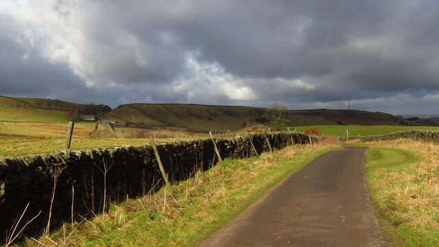
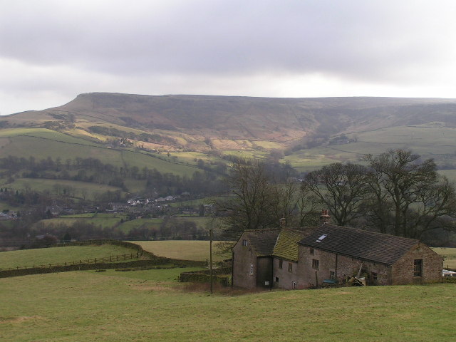
Nook Wood is a picturesque forest located in Derbyshire, England. Situated in the heart of the Peak District National Park, it covers an area of approximately 150 acres and is known for its diverse range of flora and fauna.
The wood is predominantly made up of deciduous trees, including oak, beech, and birch, which create a stunning display of colors during the autumn months. The dense canopy provides a habitat for a variety of wildlife, including deer, badgers, and foxes. Birdwatchers can also spot a range of bird species, such as woodpeckers, owls, and thrushes.
Nook Wood offers several well-maintained walking trails, making it a popular destination for nature lovers and outdoor enthusiasts. These trails vary in difficulty, catering to both casual strollers and avid hikers, and provide opportunities to explore the wood's beautiful surroundings. The paths wind through peaceful groves, alongside babbling brooks, and offer breathtaking views of the surrounding countryside.
The wood is also home to a number of ancient archaeological sites, including burial mounds and stone circles, which provide a glimpse into the area's rich history. Visitors can learn about the cultural significance of these sites through informative plaques and guided tours.
Overall, Nook Wood is a tranquil haven for those seeking to immerse themselves in nature and explore the beauty of Derbyshire's countryside. Its diverse ecosystem, well-maintained trails, and historical significance make it a must-visit destination for both locals and tourists alike.
If you have any feedback on the listing, please let us know in the comments section below.
Nook Wood Images
Images are sourced within 2km of 53.28127/-1.9726639 or Grid Reference SK0176. Thanks to Geograph Open Source API. All images are credited.


Nook Wood is located at Grid Ref: SK0176 (Lat: 53.28127, Lng: -1.9726639)
Administrative County: Derbyshire
District: High Peak
Police Authority: Derbyshire
What 3 Words
///overt.lowest.flute. Near Buxton, Derbyshire
Nearby Locations
Related Wikis
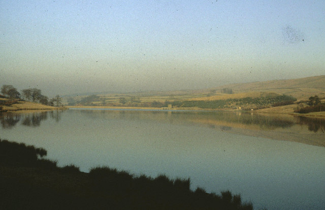
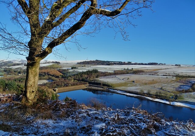
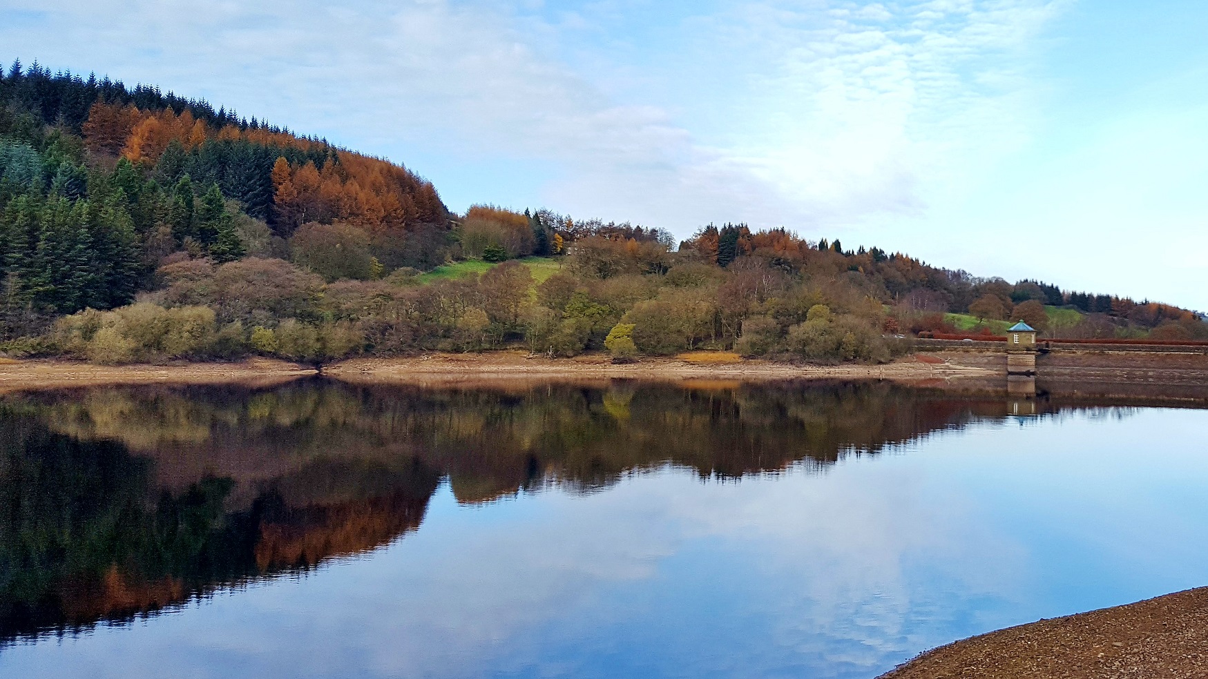
Errwood Reservoir
Errwood Reservoir is a drinking-water reservoir in the Peak District National Park, within the county of Derbyshire and very close to the boundary with...

Hartington Upper Quarter
Hartington Upper Quarter is a civil parish in the High Peak district of Derbyshire, England. The civil parish was created following the division of the...

Errwood Hall
The ruin of Errwood Hall is a popular tourist destination in the scenic Upper Goyt Valley within the Peak District of England. == History == Errwood Hall...
Upper Goyt Valley
The Upper Goyt Valley is the southern section of the valley of the River Goyt in North West England. == Position == The source of the Goyt River is on...

Cats Tor
Cats Tor is a Peak District hill on the border between Cheshire and Derbyshire, between the towns of Macclesfield and Buxton. The summit is 518 metres...
Combs Moss
Combs Moss is a plateau-topped hill between Chapel-en-le-Frith and Buxton in Derbyshire, in the Peak District. The summit, Combs Head, is 503 metres (1...

Burbage Edge
Burbage Edge is a gritstone escarpment overlooking the Burbage district of Buxton in Derbyshire, in the Peak District. The hill's summit (marked by a trig...

Shining Tor
Shining Tor is the highest hill in Cheshire, England. The summit has a maximum elevation of 559 m (1,834 ft) above sea level. It is in the Peak District...
Nearby Amenities
Located within 500m of 53.28127,-1.9726639Have you been to Nook Wood?
Leave your review of Nook Wood below (or comments, questions and feedback).