Shaw's Rough
Wood, Forest in Staffordshire Stafford
England
Shaw's Rough
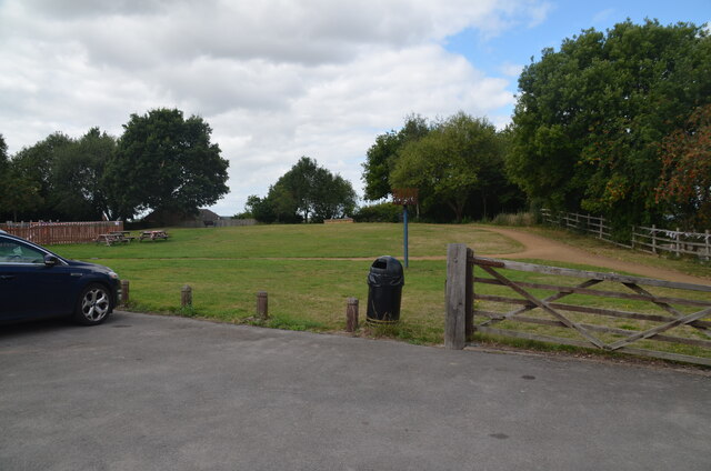
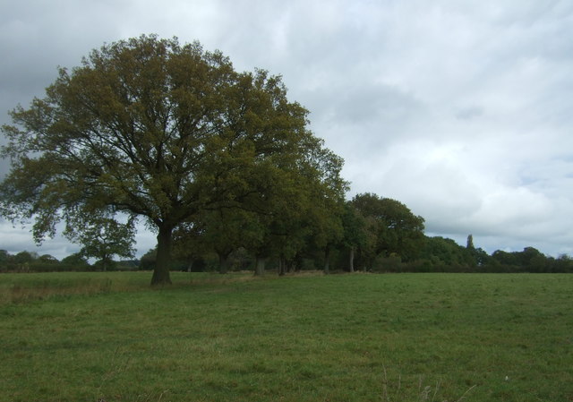
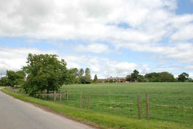
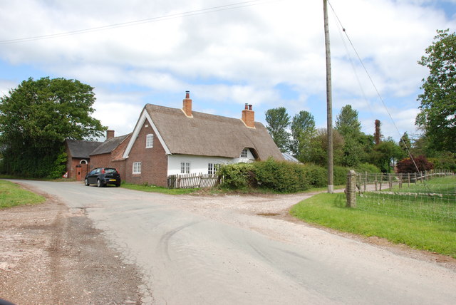
Shaw's Rough, located in Staffordshire, England, is a stunning woodland area that offers a picturesque natural escape for visitors. Encompassing a vast expanse of dense forest, Shaw's Rough is a haven for nature enthusiasts and outdoor adventurers alike.
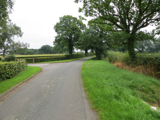
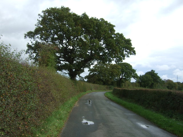
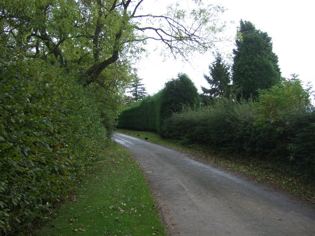
The woodland boasts a diverse range of trees including oak, beech, and birch, creating a rich tapestry of colors throughout the year. The forest floor is adorned with an array of wildflowers, adding to the beauty and charm of the surroundings. Visitors can enjoy peaceful walks along well-maintained trails that wind their way through the woodland, immersing themselves in the tranquility of nature.
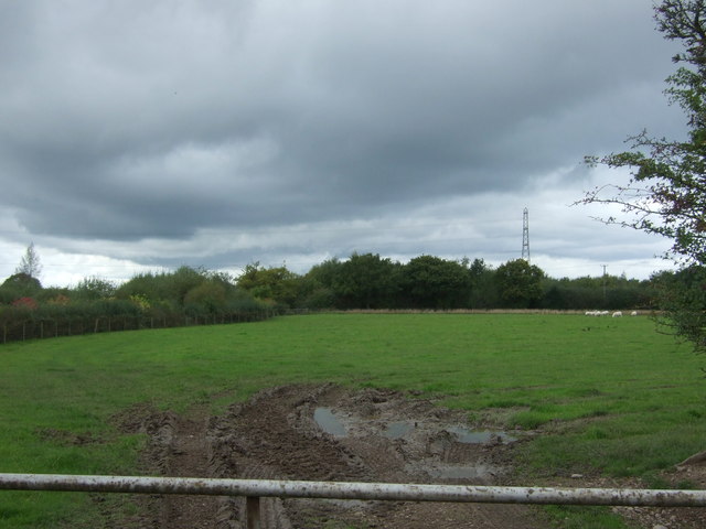
Shaw's Rough is also home to a variety of wildlife, providing opportunities for wildlife spotting and birdwatching. Foxes, badgers, and a range of bird species can often be seen within the forest, making it a fascinating destination for nature lovers.
In addition to its natural beauty, Shaw's Rough offers recreational activities for visitors. There are picnic areas and benches scattered throughout the woodland, providing perfect spots for enjoying a packed lunch or simply taking a moment to soak in the serene surroundings. The forest also has designated areas for camping, allowing visitors to extend their stay and experience the magic of the woodland at night.
Overall, Shaw's Rough in Staffordshire is a captivating woodland destination that offers a peaceful retreat from the hustle and bustle of everyday life. With its stunning natural beauty and abundance of wildlife, it is an ideal place for outdoor enthusiasts to explore and appreciate the wonders of nature.
If you have any feedback on the listing, please let us know in the comments section below.
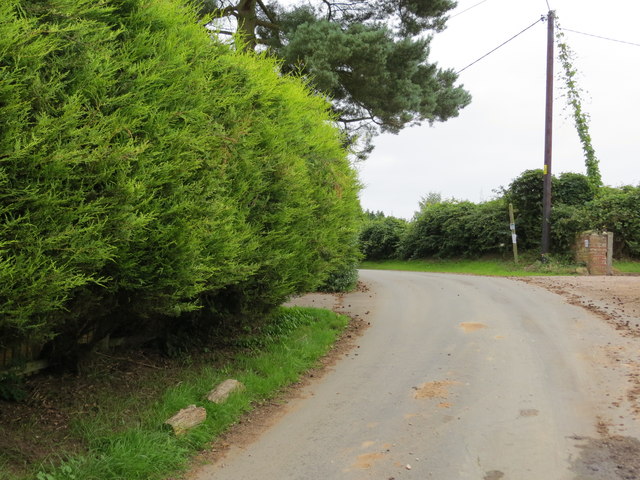
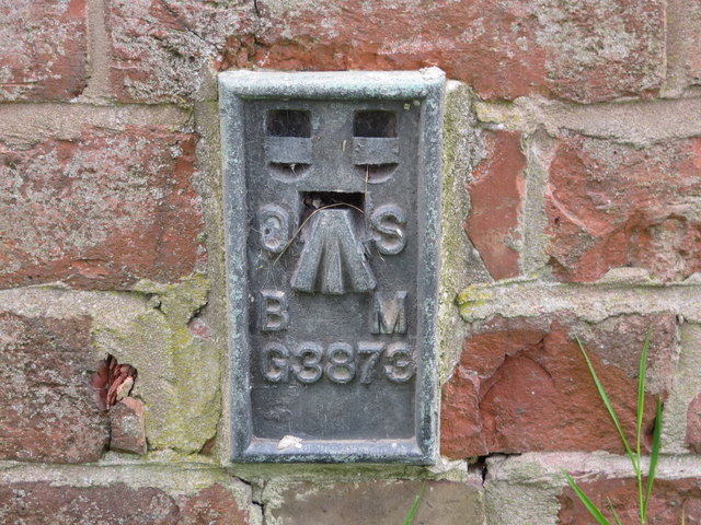
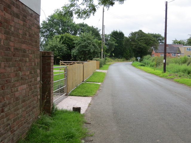
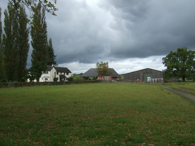
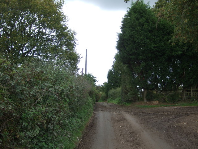
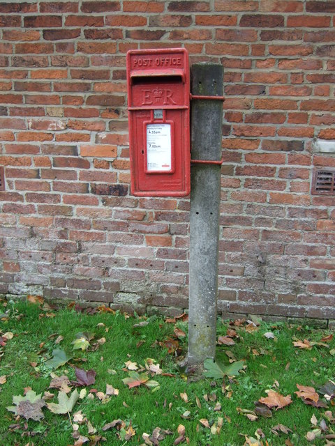
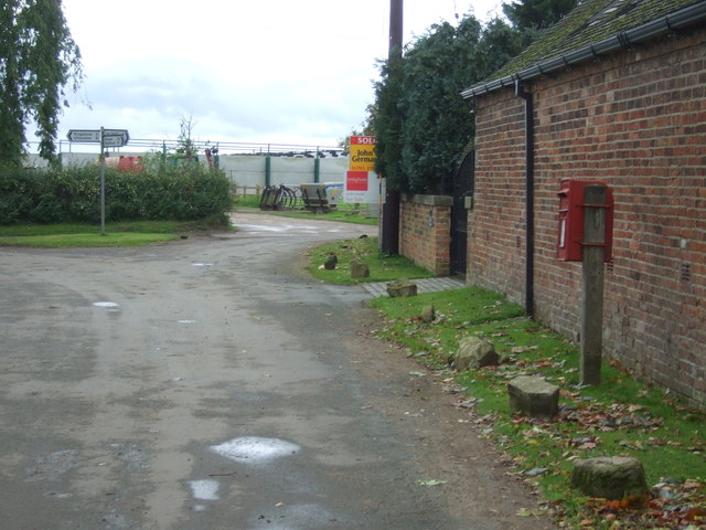
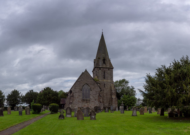
Shaw's Rough Images
Images are sourced within 2km of 52.828408/-1.9718034 or Grid Reference SK0125. Thanks to Geograph Open Source API. All images are credited.
Shaw's Rough is located at Grid Ref: SK0125 (Lat: 52.828408, Lng: -1.9718034)
Administrative County: Staffordshire
District: Stafford
Police Authority: Staffordshire
What 3 Words
///sandbags.done.mammoths. Near Great Haywood, Staffordshire
Nearby Locations
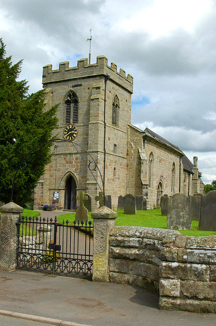
Related Wikis

Hixon, Staffordshire
Hixon is a village and a civil parish in the English county of Staffordshire.grid reference SK003259 == Location == The village is 7.8 miles (12.6 km)...
Stowe-by-Chartley
Stowe-by-Chartley is a village and civil parish in the Borough of Stafford, Staffordshire, England. According to the parish council, the parish includes...

Chartley railway station
Chartley railway station was a former British railway station to serve the village of Stowe-by-Chartley in Staffordshire. It was opened by the Stafford...

RAF Hixon
Royal Air Force Hixon, or more simply RAF Hixon, was a Royal Air Force station located on the north western edge of the village of Hixon in Staffordshire...

RAF Seighford
Royal Air Force Seighford or more simply RAF Seighford is a former Royal Air Force satellite station located 3.6 miles (5.8 km) northwest of Stafford,...

Chartley Moss
Chartley Moss is a 105.80 hectare biological Site of Special Scientific Interest in Staffordshire, notified in 1987. The area has been designated as an...
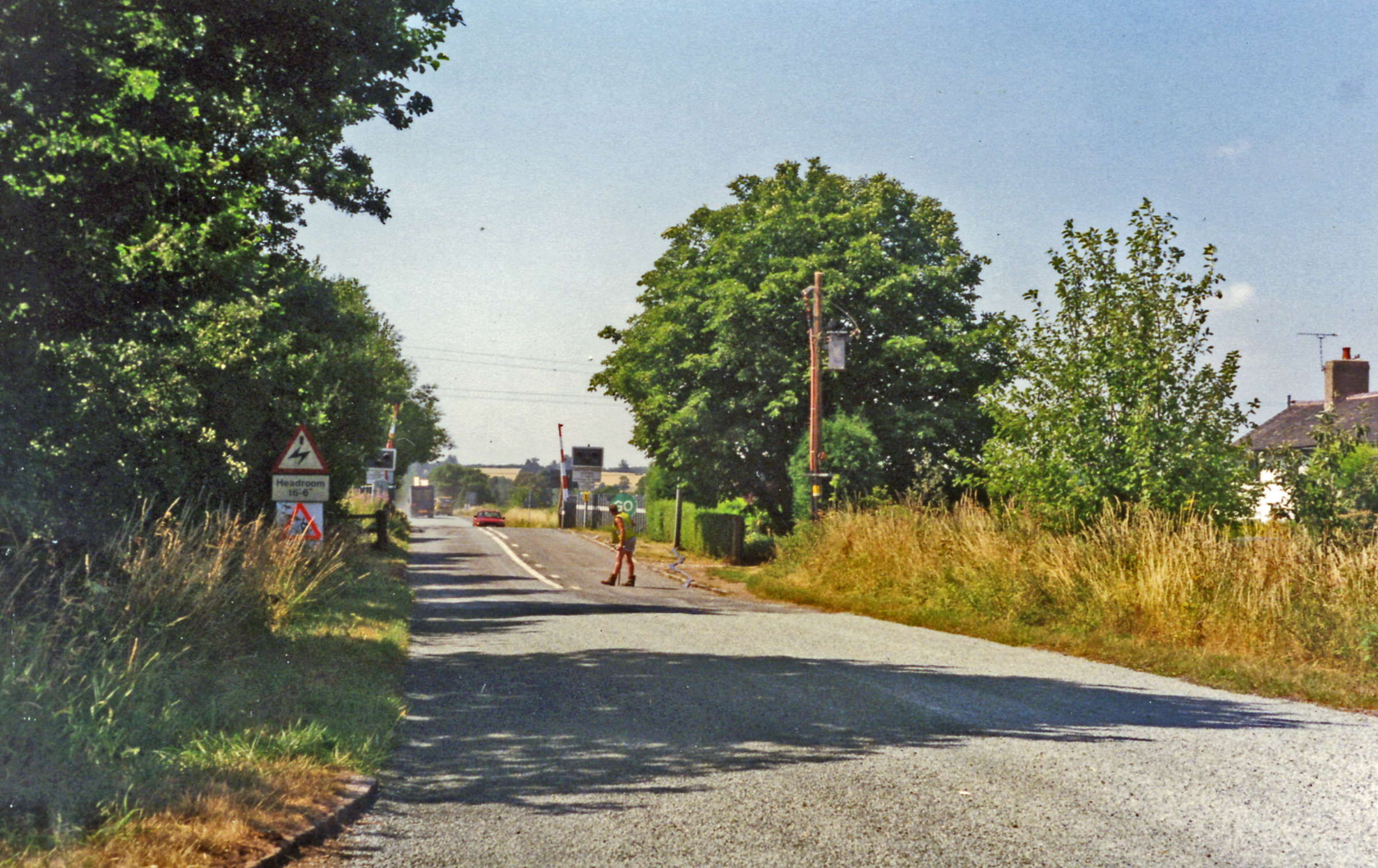
Hixon railway station
Hixon railway station is a disused railway station in Staffordshire, England. The railway line between Stone and Colwich was opened by the North Staffordshire...

Hixon rail crash
On 6 January 1968, a low-loader transporter carrying a 120-ton electrical transformer was struck by a British Rail express train on a recently installed...
Nearby Amenities
Located within 500m of 52.828408,-1.9718034Have you been to Shaw's Rough?
Leave your review of Shaw's Rough below (or comments, questions and feedback).