Harecrag Strip

Wood, Forest in Northumberland

England

Harecrag Strip

Billylaw Farm An exposed site on the hilltop, but no roadside name sign. I'm sure the farm will look much more inviting on a sunny day.
Billylaw Farm Credit: Stafford Little

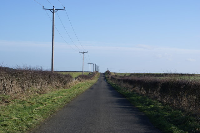
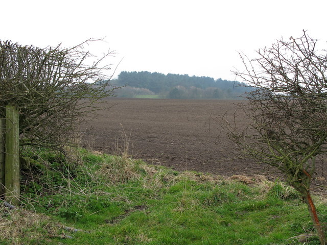
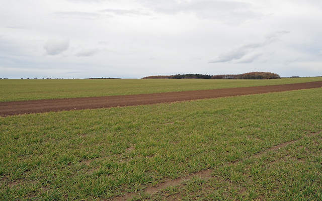
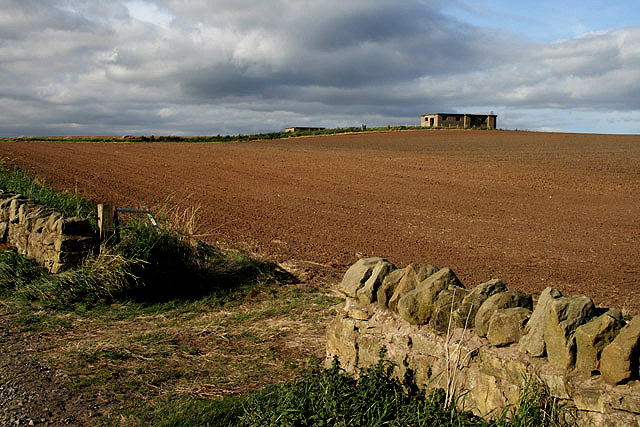
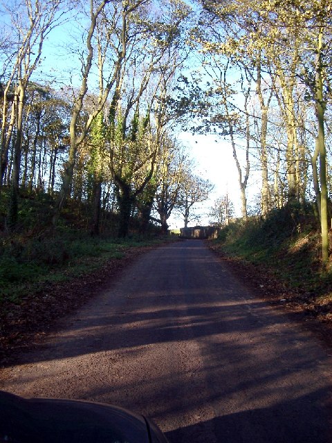
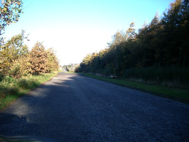
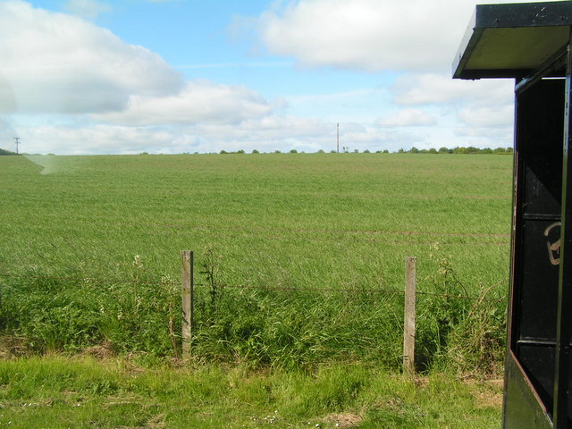
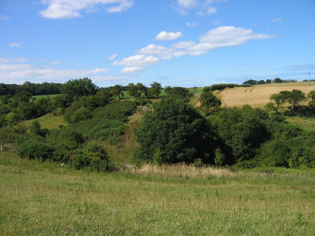
Harecrag Strip, situated in Northumberland, is a picturesque woodland area known for its natural beauty and rich biodiversity. Covering an area of approximately 100 acres, this serene forest is a haven for nature enthusiasts and outdoor adventurers.

The woodland is predominantly composed of a mix of deciduous and coniferous trees, including oak, ash, beech, and spruce. The dense canopy creates a cool and shaded environment, perfect for leisurely walks and exploration. The forest floor is carpeted with a diverse range of flora, including bluebells, wild garlic, and ferns, adding to the enchanting atmosphere.

Harecrag Strip is home to a variety of wildlife, making it an ideal spot for wildlife spotting and birdwatching. Visitors may catch a glimpse of red squirrels darting through the trees, or hear the distinctive calls of woodland birds such as woodpeckers and owls. The forest also provides a habitat for a range of insects, including butterflies and dragonflies.

Trails and footpaths meander through the woodland, allowing visitors to immerse themselves in the tranquility of nature. These paths offer opportunities for leisurely strolls, jogging, or cycling. Picnic areas and benches are scattered throughout the forest, providing a perfect spot for visitors to relax and enjoy the serenity of the surroundings.

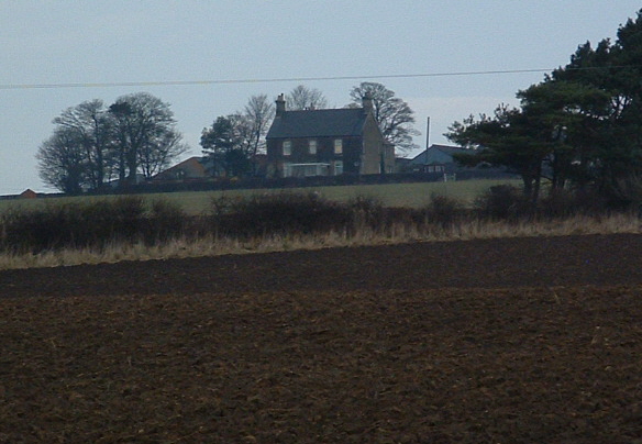
Harecrag Strip is a well-maintained and accessible woodland, with parking facilities available nearby. It offers a peaceful retreat for nature lovers, providing a respite from the hustle and bustle of everyday life. Whether you are seeking a tranquil walk, wildlife encounters, or simply a place to connect with nature, Harecrag Strip is sure to captivate and delight.

If you have any feedback on the listing, please let us know in the comments section below.

Harecrag Strip Images

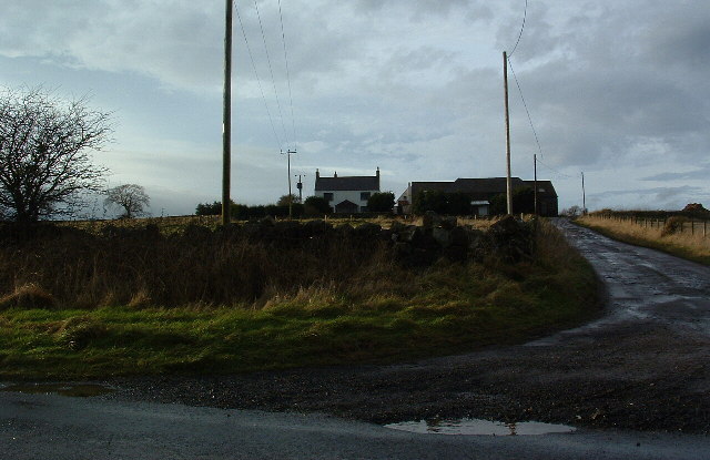
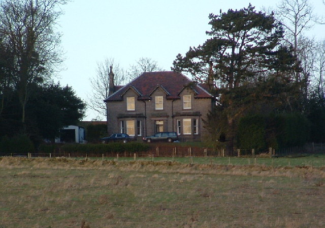
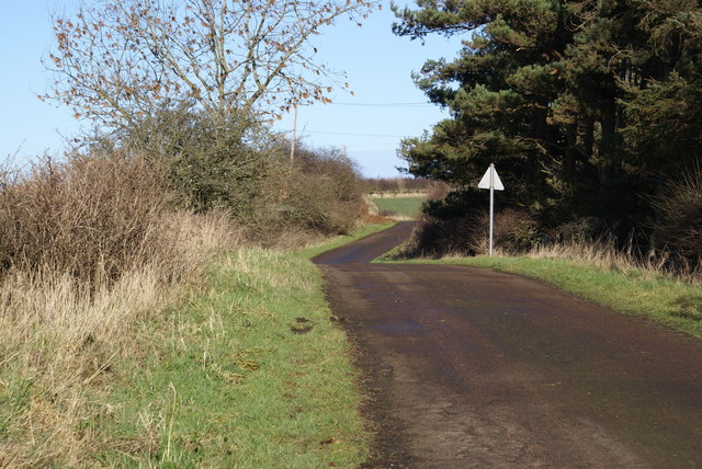
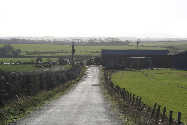
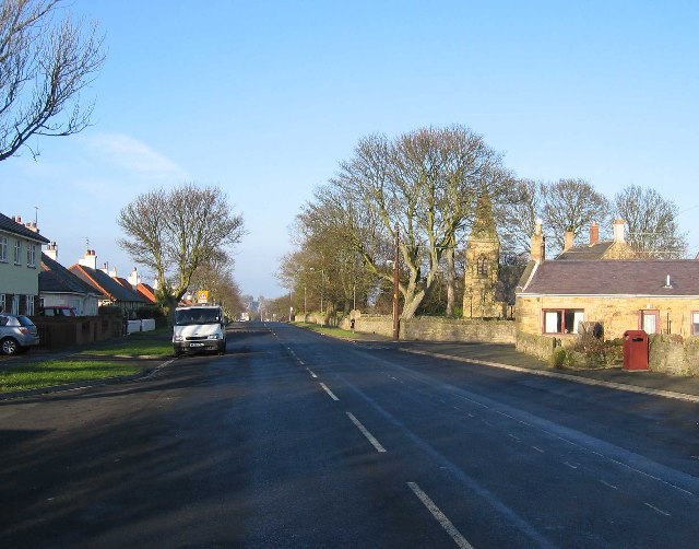
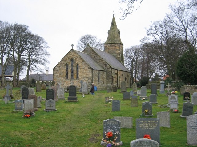
Images are sourced within 2km of 55.734775/-2.0037959 or Grid Reference NT9949. Thanks to Geograph Open Source API. All images are credited.

Billylaw Farm An exposed site on the hilltop, but no roadside name sign. I'm sure the farm will look much more inviting on a sunny day.
Billylaw Farm
An exposed site on the hilltop, but no roadside name sign. I'm sure the farm will look much more inviting on a sunny day.
Murton Whitehouse No idea why "Whitehouse" because it ain't. Maybe at some time they thought they would gild the lily.
Murton Whitehouse
No idea why "Whitehouse" because it ain't. Maybe at some time they thought they would gild the lily.
Road at Unthank
Road at Unthank
Unthank Mine There's little evidence of old mineworkings, it just looks like a farm.
Unthank Mine
There's little evidence of old mineworkings, it just looks like a farm.
Roadside Powerlines Although taken for granted, these three-phase cables do much to visually impair the view.
Roadside Powerlines
Although taken for granted, these three-phase cables do much to visually impair the view.
Heathery Tops Newly ploughed field, view towards Catchlaw Crag over the A1 near Scremerston.
Heathery Tops
Newly ploughed field, view towards Catchlaw Crag over the A1 near Scremerston.
Farmland with Camp Wood in the Distance
A World War Two lookout post This concrete and brick relic dating back to the Second World War is situated in farmland overlooking the North Sea.
A World War Two lookout post
This concrete and brick relic dating back to the Second World War is situated in farmland overlooking the North Sea.
Northumberland farmland Viewed from the public footpath to Cow Road with an old lookout post at the high point of the field <a href="https://www.geograph.org.uk/photo/1508311">NU0050 : A World War Two lookout post</a>.
Northumberland farmland
Viewed from the public footpath to Cow Road with an old lookout post at the high point of the field NU0050 : A World War Two lookout post.
Marshalls, Outdoor Clothing Retailer
Wood between Windyridge and Borewell on the road from Scremeston to Cocklaw Beach
Wood between Windyridge and Borewell
on the road from Scremeston to Cocklaw Beach
Layby south of Scremerston (part of old road) Nightmare conditions with the dark wood and the bright sun, so sorry, not as good as it would be if I had a better camera
Layby south of Scremerston (part of old road)
Nightmare conditions with the dark wood and the bright sun, so sorry, not as good as it would be if I had a better camera
Scremerston Hill Farm A commanding position looking West to the Cheviot Hills.
Scremerston Hill Farm
A commanding position looking West to the Cheviot Hills.
The Invasive Species A new tree species that is rapidly taking over from the English Oak.
The wood is actually called Road Ends Wood
The Invasive Species
A new tree species that is rapidly taking over from the English Oak. The wood is actually called Road Ends Wood
Scremerston Looking north along the old A1
Scremerston
Looking north along the old A1
Field of Wheat behind a bus stop in Scremerston Typical agricultural scene
Field of Wheat behind a bus stop in Scremerston
Typical agricultural scene
Valley of the Doupster Burn
St Peter's Anglican Church, Scremerston
Show me another place!

Harecrag Strip is located at Grid Ref: NT9949 (Lat: 55.734775, Lng: -2.0037959)

Unitary Authority: Northumberland

Police Authority: Northumbria

What 3 Words

///flicks.cubed.scorecard. Near Berwick-Upon-Tweed, Northumberland

Related Wikis

Scremerston

Scremerston is a village in Northumberland, England. The village lies on the North Sea coast just under 2.5 miles (4 km) south of Berwick-upon-Tweed and...

Scremerston railway station

Scremerston railway station served the village of Scremerston, Northumberland, England from 1847 to 1951 on the East Coast Main Line. == History == The...

Berwick Academy, Berwick-upon-Tweed

Berwick Academy (formerly Berwick Community High School) is a coeducational upper school and sixth form located in Berwick-upon-Tweed in the English county...

Spittal, Northumberland

Spittal is a village in northern Northumberland, England. It is part of Berwick-upon-Tweed and is situated on the coast to the east of Tweedmouth. Spittal...

Have you been to Harecrag Strip?

Leave your review of Harecrag Strip below (or comments, questions and feedback).