Ladbitch Wood
Wood, Forest in Cheshire High Peak
England
Ladbitch Wood

Ladbitch Wood is a picturesque woodland located in the county of Cheshire, England. Nestled within the rural landscape, this enchanting forest covers an area of approximately 100 acres. It is situated near the village of Prestbury, just a few miles southeast of the city of Manchester.
The wood is renowned for its diverse range of flora and fauna, making it an idyllic spot for nature lovers and wildlife enthusiasts. The woodland is predominantly composed of native British trees, including oak, beech, birch, and ash, which form a dense canopy providing shade and shelter for the forest floor. In spring, a vibrant carpet of bluebells emerges, creating a breathtaking spectacle for visitors.
Ladbitch Wood is crisscrossed by a network of well-maintained footpaths, allowing visitors to explore its natural beauty. Walking through the forest, one can hear the melodious songs of various bird species, including woodpeckers, robins, and thrushes. The wood is also home to a variety of mammals, such as squirrels, rabbits, and foxes, which can occasionally be spotted amidst the foliage.
The wood has a fascinating history, with evidence of human activity dating back centuries. It is believed to have been part of an ancient hunting ground during the medieval period. Today, it is a protected site managed by local authorities, ensuring its preservation for future generations to enjoy.
Ladbitch Wood offers a tranquil escape from the hustle and bustle of everyday life, providing a serene setting for leisurely walks, picnics, and nature exploration.
If you have any feedback on the listing, please let us know in the comments section below.
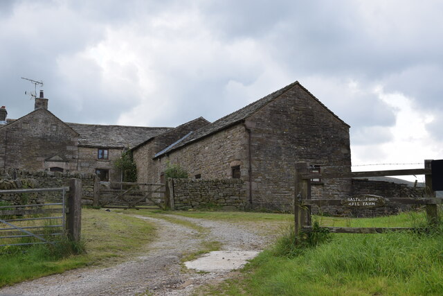
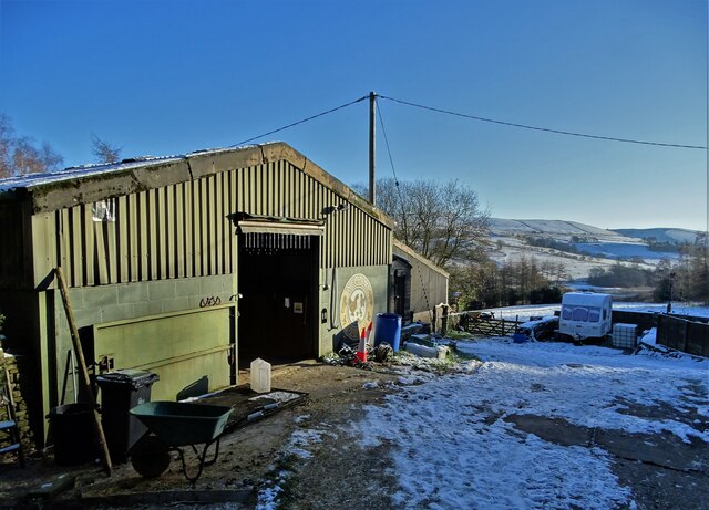
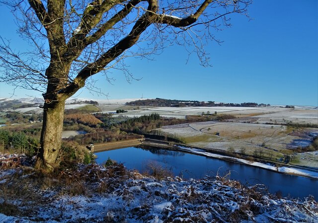
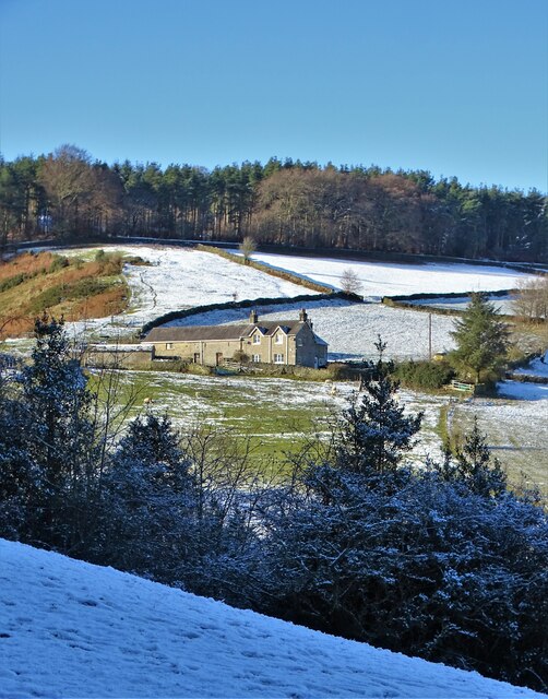
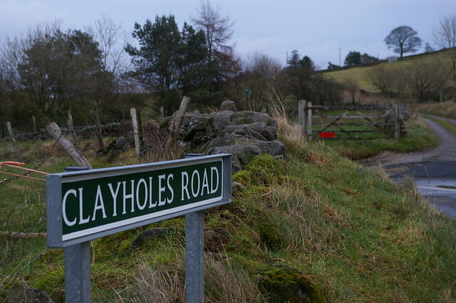
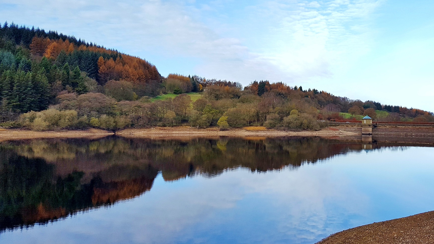
Ladbitch Wood Images
Images are sourced within 2km of 53.294019/-2.003561 or Grid Reference SJ9977. Thanks to Geograph Open Source API. All images are credited.


Ladbitch Wood is located at Grid Ref: SJ9977 (Lat: 53.294019, Lng: -2.003561)
Administrative County: Derbyshire
District: High Peak
Police Authority: Derbyshire
What 3 Words
///teaches.trio.grafted. Near Whaley Bridge, Derbyshire
Nearby Locations
Related Wikis
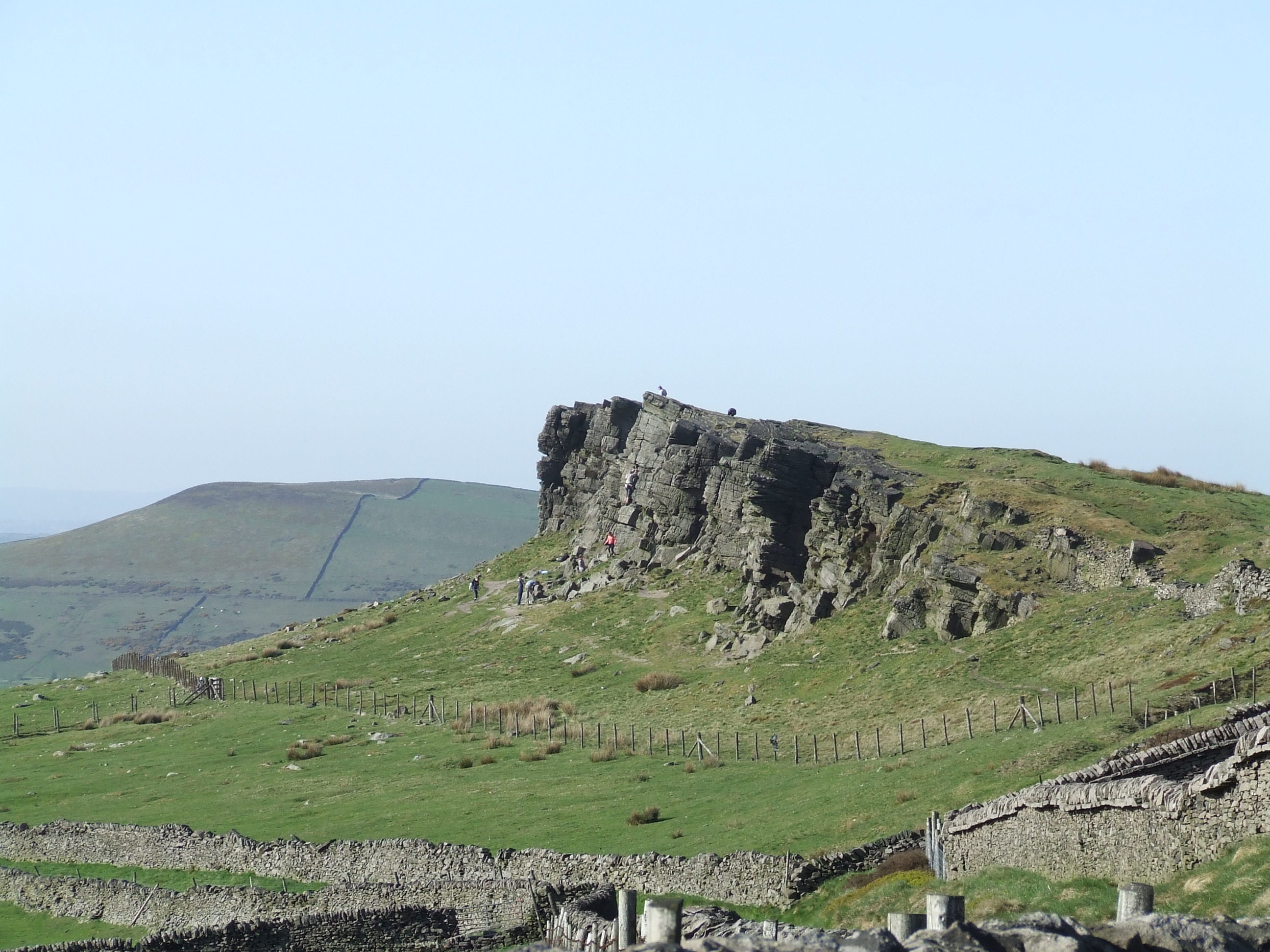
Windgather Rocks
The Windgather Rocks (416 metres/1,365 ft a.s.l.) is a gritstone crag on the Derbyshire–Cheshire border in England. It is in the Peak District National...
Upper Goyt Valley
The Upper Goyt Valley is the southern section of the valley of the River Goyt in North West England. == Position == The source of the Goyt River is on...

Cats Tor
Cats Tor is a Peak District hill on the border between Cheshire and Derbyshire, between the towns of Macclesfield and Buxton. The summit is 518 metres...

Jenkin Chapel
Jenkin Chapel, stands in an isolated position on the western slopes of the Pennines, 4.3 miles (7 km) northeast of Macclesfield, Cheshire, England. It...

Kettleshulme
Kettleshulme (Old Norse Ketil's island or Ketil's watermeadow) is a village and former civil parish, now in the parish of Kettleshulme and Lyme Handley...
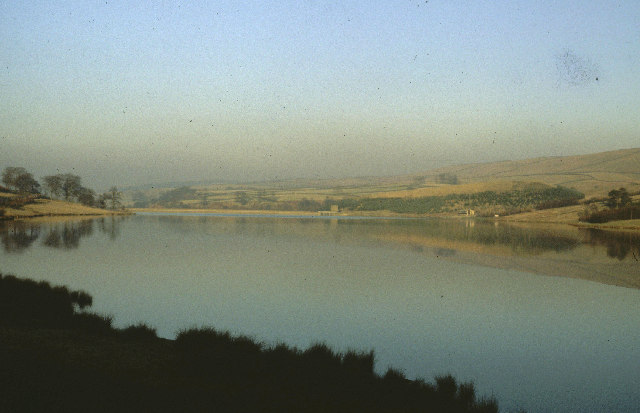
Errwood Reservoir
Errwood Reservoir is a drinking-water reservoir in the Peak District National Park, within the county of Derbyshire and very close to the boundary with...

Hartington Upper Quarter
Hartington Upper Quarter is a civil parish in the High Peak district of Derbyshire, England. The civil parish was created following the division of the...
Shallcross, Derbyshire
Shallcross is a small village in northwestern Derbyshire, England. It is located 15 miles (24 km) south of Manchester, at the edge of the Peak District...
Nearby Amenities
Located within 500m of 53.294019,-2.003561Have you been to Ladbitch Wood?
Leave your review of Ladbitch Wood below (or comments, questions and feedback).