Fox Covert
Wood, Forest in Northumberland
England
Fox Covert
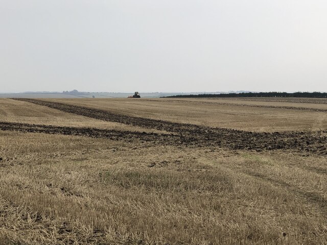
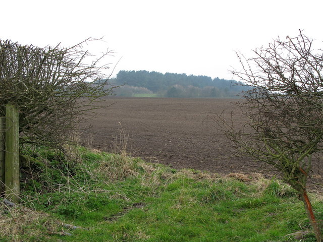
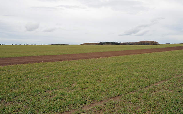
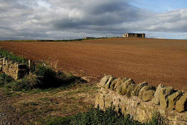
Fox Covert is a picturesque woodland located in the county of Northumberland, England. Situated in the heart of the county, it covers an area of approximately 100 acres and is a haven for nature lovers and outdoor enthusiasts alike.
The woodland is predominantly composed of a mixture of broadleaf trees such as oak, beech, and birch, which create a dense and vibrant canopy. These trees provide a habitat for a diverse range of wildlife, including various species of birds, mammals, and insects.
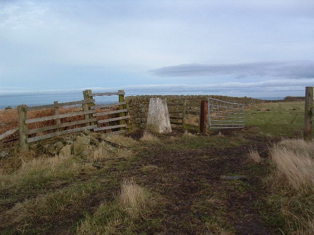
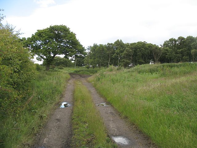
Visitors to Fox Covert can explore the numerous walking trails that wind their way through the woodland, offering stunning views and a chance to immerse oneself in nature. The well-maintained paths are suitable for both leisurely strolls and more challenging hikes, catering to visitors of all abilities.
The wood is also home to a variety of flora, with bluebells carpeting the forest floor in the spring, adding a splash of color to the landscape. In addition to the natural beauty, there are several designated picnic areas where visitors can relax and enjoy a picnic surrounded by the tranquil surroundings.
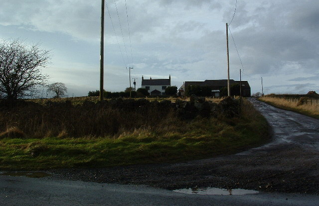
Fox Covert is managed by the local authorities, ensuring its preservation and protection for future generations to enjoy. It is easily accessible by car, with ample parking available, and there are also nearby amenities such as visitor centers and toilets.
Overall, Fox Covert is a hidden gem in Northumberland, offering a peaceful and enchanting escape from the hustle and bustle of everyday life. Whether you are a nature lover, a keen walker, or simply seeking solace in nature, Fox Covert is a must-visit destination in Northumberland.
If you have any feedback on the listing, please let us know in the comments section below.
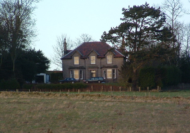
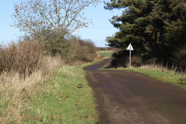
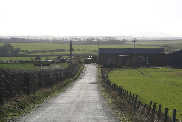
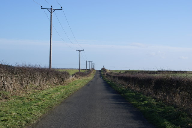
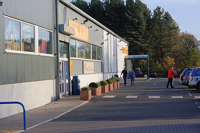
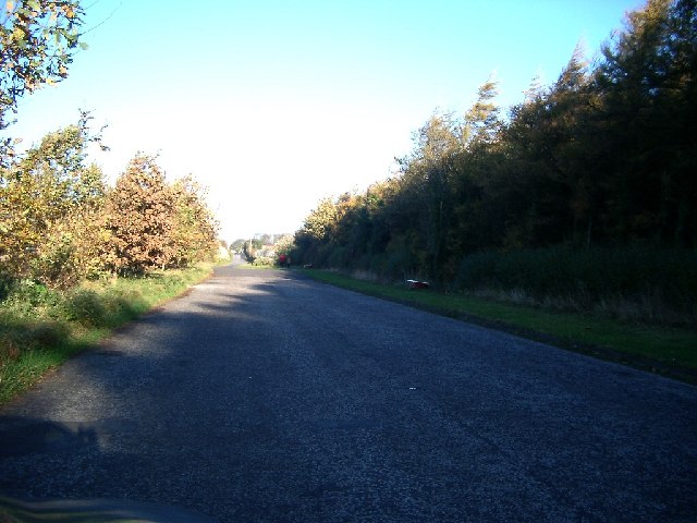
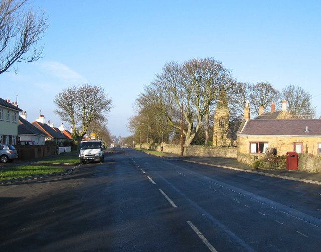
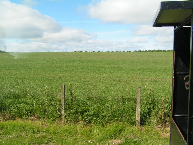
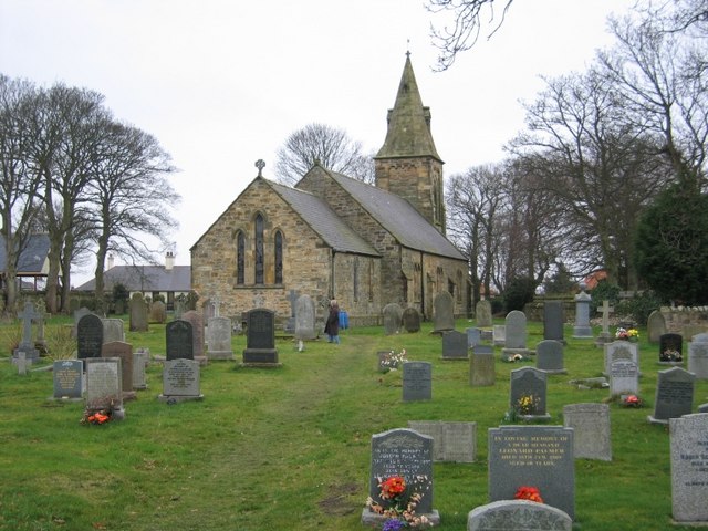
Fox Covert Images
Images are sourced within 2km of 55.737578/-2.0110902 or Grid Reference NT9949. Thanks to Geograph Open Source API. All images are credited.

Fox Covert is located at Grid Ref: NT9949 (Lat: 55.737578, Lng: -2.0110902)
Unitary Authority: Northumberland
Police Authority: Northumbria
What 3 Words
///apparatus.occurs.lime. Near Berwick-Upon-Tweed, Northumberland
Nearby Locations
Related Wikis

Scremerston
Scremerston is a village in Northumberland, England. The village lies on the North Sea coast just under 2.5 miles (4 km) south of Berwick-upon-Tweed and...

Berwick Academy, Berwick-upon-Tweed
Berwick Academy (formerly Berwick Community High School) is a coeducational upper school and sixth form located in Berwick-upon-Tweed in the English county...
Ord, Northumberland
Ord is a civil parish in Northumberland, England. According to the 2001 census it had a population 1,365, increasing slightly to 1,374 at the 2011 Census...

East Ord
East Ord is a village in Northumberland, England about 2 miles (3 km) south west of Berwick Upon Tweed. It lies on the south bank of the River Tweed adjacent...

Spittal, Northumberland
Spittal is a village in northern Northumberland, England. It is part of Berwick-upon-Tweed and is situated on the coast to the east of Tweedmouth. Spittal...

Shielfield Park
Shielfield Park is a football stadium that is home to Berwick Rangers and Berwick Bandits speedway team. Although Berwick Rangers is a Scottish Lowland...

Tweedmouth
Tweedmouth is part of the town of Berwick-upon-Tweed in Northumberland, England. It is located on the south bank of the River Tweed and is connected to...

Tweedmouth railway station
Tweedmouth railway station was a railway station which served the Tweedmouth area of Berwick-on-Tweed in Northumberland, England. It was located on the...
Related Videos

Part 6 - Caravan Holiday Series - Scotland Border வரைக்கும் ஒரு Long Drive
Welcome to Thendral UK. This video was taken during our caravan holiday at #Haven's #Haggerstoncastle caravan park. This is ...

Berwick Seaview Club site
Perched on a hillside in the seaside resort of Spittal and offering spectacular views along the Northumberland coast and over the ...
Pot-a-Doodle-Do - September 2018
Glamping in Berwick. September 2018.

Wigwam 2019
Weekend Break.
Have you been to Fox Covert?
Leave your review of Fox Covert below (or comments, questions and feedback).