Moor Wood

Wood, Forest in Gloucestershire Cotswold

England

Moor Wood

Dustbins outside Aycot Farm
Dustbins outside Aycot Farm Credit: Jonathan Billinger

Moor Wood is a picturesque woodland located in Gloucestershire, England. Covering an area of approximately 100 acres, it is part of the larger Forest of Dean, which is known for its rich natural beauty and diverse wildlife.

The wood is characterized by its dense canopy of trees, including oak, beech, and ash, which provide a habitat for a wide range of flora and fauna. It is especially popular among birdwatchers, who can spot various species such as woodpeckers, owls, and buzzards soaring above the treetops. The forest floor is carpeted with wildflowers, ferns, and mosses, creating a serene and enchanting atmosphere.

Moor Wood offers an array of walking trails, allowing visitors to explore its natural wonders at their own pace. These trails wind through the ancient woodland, offering glimpses of hidden streams, babbling brooks, and small waterfalls. It is not uncommon to encounter deer, rabbits, and squirrels during a walk in the wood, adding to the sense of tranquility and connection with nature.

In addition to its natural beauty, Moor Wood also holds historical significance. It is believed to have been used as a hunting ground by ancient civilizations and was later utilized for timber production during the industrial revolution. Today, it is a protected area managed by the Forestry Commission, ensuring its preservation for future generations to enjoy.

Overall, Moor Wood in Gloucestershire is a captivating destination for nature lovers and outdoor enthusiasts alike. Its lush vegetation, diverse wildlife, and peaceful ambiance make it a haven for those seeking solace in the beauty of the natural world.

If you have any feedback on the listing, please let us know in the comments section below.
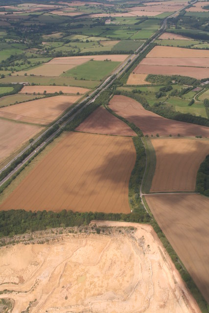
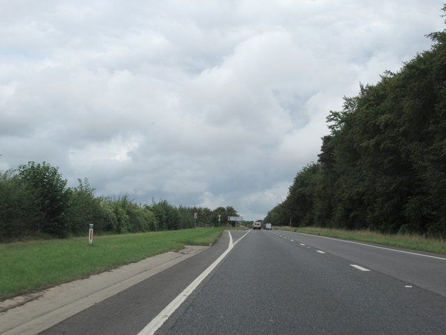
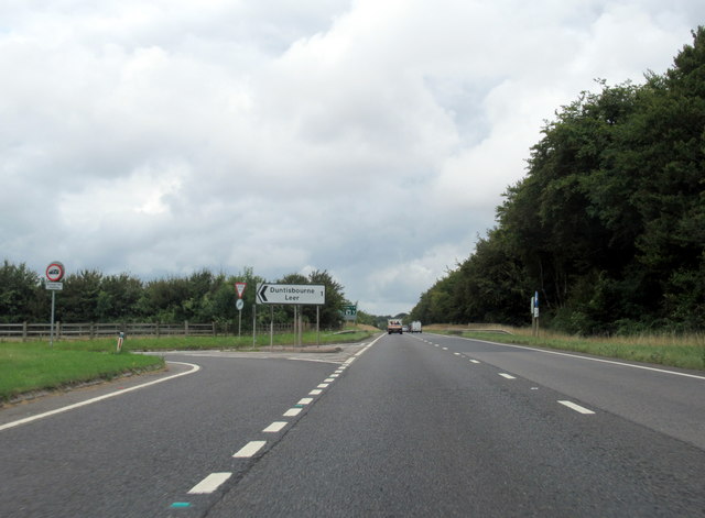
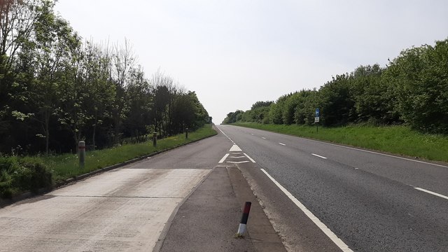
Moor Wood Images

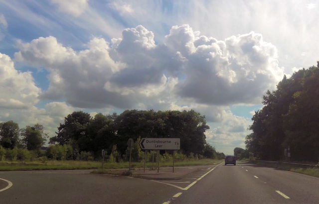
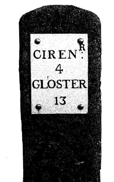
Images are sourced within 2km of 51.775566/-2.0034602 or Grid Reference SO9908. Thanks to Geograph Open Source API. All images are credited.

Dustbins outside Aycot Farm
The Churn valley
The Churn valley
Road to Aycote
Road to Aycote
Across the Churn valley
The Churn valley looking  South East
The Churn valley looking South East
Dovecote at Aycote farm
Road approaching Aycote House
Junction for Duntisbourne Leer
A417 just south of Duntisbourne Junction Coordinates from Where's the path. Just here the trees encroach onto the grass verges
A417 just south of Duntisbourne Junction
Coordinates from Where's the path. Just here the trees encroach onto the grass verges
Ermine Street, A417, heading south Quarter of a mile to phone sign south of Duntisbourne
Ermine Street, A417, heading south
Quarter of a mile to phone sign south of Duntisbourne
A417 crossing Welsh Way near Dartley
Old Milestone by the A417, Ermin Way, Duntisbourne Abbots Parish Metal plate attached to stone post by the A417, in parish of DUNTISBOURNE ABBOTS (COTSWOLD District), North of Dartley Farm (southbound carriageway), by the North East side of road. Cirencester iron plate, erected by the Cirencester to Birdlip turnpike trust in the 19th century. For a more recent image see <a href="https://www.geograph.org.uk/photo/6988472">SO9807 : Old Milestone, A417 Duntisbourne Abbots</a>

Inscription reads:- : CIREN:R / 4 / GLOSTER / 13 

Milestone Society National ID: GL_LG94.
Old Milestone by the A417, Ermin Way, Duntisbourne Abbots Parish
Metal plate attached to stone post by the A417, in parish of DUNTISBOURNE ABBOTS (COTSWOLD District), North of Dartley Farm (southbound carriageway), by the North East side of road. Cirencester iron plate, erected by the Cirencester to Birdlip turnpike trust in the 19th century. For a more recent image see SO9807 : Old Milestone, A417 Duntisbourne Abbots Inscription reads:- : CIREN:R / 4 / GLOSTER / 13 Milestone Society National ID: GL_LG94.
Old Milestone by the A417, near The Five Mile House Metal plate attached to stone post by the A417, in parish of DUNTISBOURNE ABBOTS (COTSWOLD District), Southeast of The Five Mile House, by the Northeast side of road. Cirencester iron plate, erected by the Cirencester to Birdlip turnpike trust in the 19th century. 

Inscription reads:-
CIREN: R
5
GLOSTER
12

Grade II listed.  
List Entry Number: 1088458 <span class="nowrap"><a title="https://historicengland.org.uk/listing/the-list/list-entry/1088458" rel="nofollow ugc noopener" href="https://historicengland.org.uk/listing/the-list/list-entry/1088458">Link</a><img style="margin-left:2px;" alt="External link" title="External link - shift click to open in new window" src="https://s1.geograph.org.uk/img/external.png" width="10" height="10"/></span>

Milestone Society National ID: GL_LG95.
Old Milestone by the A417, near The Five Mile House
Metal plate attached to stone post by the A417, in parish of DUNTISBOURNE ABBOTS (COTSWOLD District), Southeast of The Five Mile House, by the Northeast side of road. Cirencester iron plate, erected by the Cirencester to Birdlip turnpike trust in the 19th century. Inscription reads:- CIREN: R 5 GLOSTER 12 Grade II listed. List Entry Number: 1088458 LinkExternal link Milestone Society National ID: GL_LG95.
A417 Ermin Way and Daglingworth Quarry: aerial 2019
A417 Ermine Way and Daglingworth Quarry: aerial 2019
A417, Duntisbourne Leer junction
A417, at Duntisbourne Leer junction
A417 southbound at Duntisbourne An empty road on the Friday morning in early May 2020.
A417 southbound at Duntisbourne
An empty road on the Friday morning in early May 2020.
Show me another place!

Moor Wood is located at Grid Ref: SO9908 (Lat: 51.775566, Lng: -2.0034602)

Administrative County: Gloucestershire

District: Cotswold

Police Authority: Gloucestershire

What 3 Words

///rocker.spoken.songbook. Near Stratton, Gloucestershire

Related Wikis

Woodmancote, Cirencester

Woodmancote is a Cotswolds village near Cirencester, Gloucestershire, England. The village lies just off the A435. The village is 0.2 square miles (52...

Five Mile House, Duntisbourne Abbots

The Five Mile House is a former pub on Old Gloucester Road, Duntisbourne Abbots, Gloucestershire, England. It was built in the 17th century and is grade...

Rendcomb College

Rendcomb College is a public school (English private boarding and day school) for pupils aged 3–18, located in the village of Rendcomb five miles north...

Church of St Margaret, Bagendon

The Anglican Church of St Margaret at Bagendon in the Cotswold District of Gloucestershire, England was built in the 12th century. It is a grade I listed...

Have you been to Moor Wood?

Leave your review of Moor Wood below (or comments, questions and feedback).