Camp Wood
Wood, Forest in Northumberland
England
Camp Wood
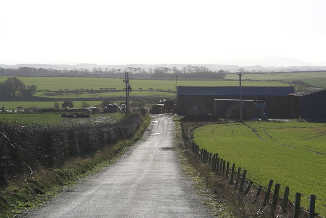
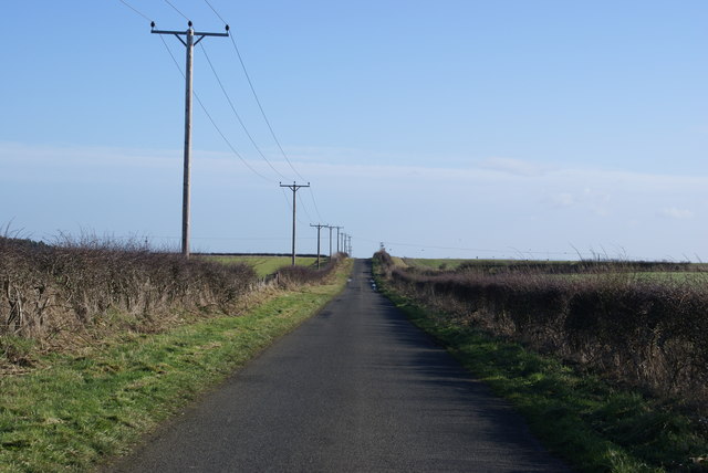
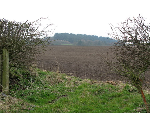
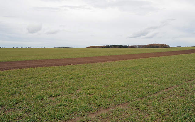
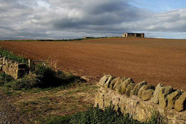
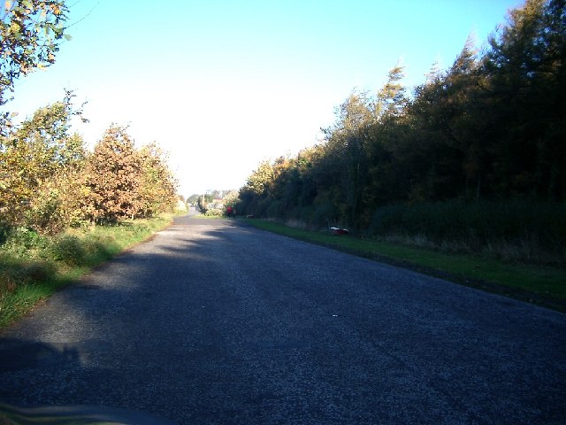
Camp Wood is a picturesque woodland located in Northumberland, England. Situated in the heart of the county, this forested area covers a vast expanse of approximately 500 acres. It is nestled within the stunning Northumberland National Park, renowned for its natural beauty and diverse wildlife.
The woodland boasts a rich history, dating back to ancient times. It was once part of the vast hunting grounds used by the Anglo-Saxon kings and later became a popular spot for medieval hunting parties. Today, remnants of these historical activities can still be found, with occasional archaeological discoveries such as arrowheads and pottery.
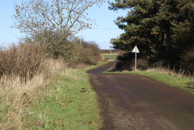
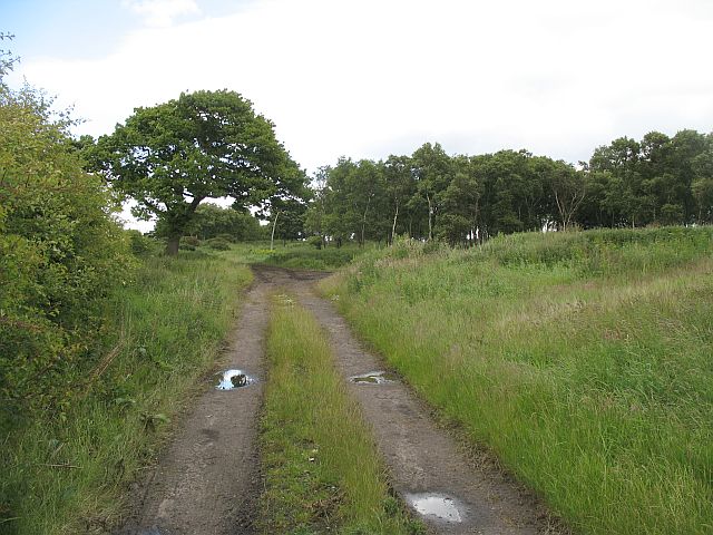
Visitors to Camp Wood can expect to immerse themselves in a tranquil environment characterized by dense foliage, towering trees, and a mosaic of vibrant colors throughout the changing seasons. The forest is predominantly composed of broadleaf trees, including oak, ash, and beech, providing a haven for a myriad of bird species, mammals, and insects.
The forest offers a range of activities for nature enthusiasts and outdoor adventurers alike. There are numerous walking trails that wind through the woodland, allowing visitors to explore the area's natural beauty at their own pace. Wildlife spotting is a popular pastime in Camp Wood, with opportunities to observe deer, foxes, badgers, and a variety of bird species.
Camp Wood also offers camping facilities for those seeking a more immersive experience. With designated camping areas and basic amenities, visitors can spend the night under the stars and wake up to the sounds of nature.
In conclusion, Camp Wood in Northumberland is a captivating forested area that combines natural beauty, rich history, and various recreational opportunities. Its lush vegetation, diverse wildlife, and peaceful ambiance make it a must-visit destination for nature lovers and outdoor enthusiasts.
If you have any feedback on the listing, please let us know in the comments section below.
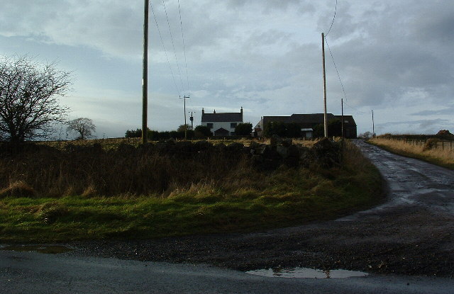
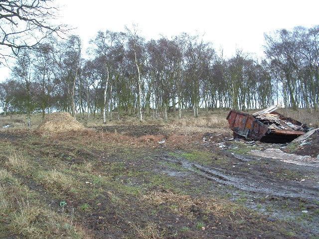
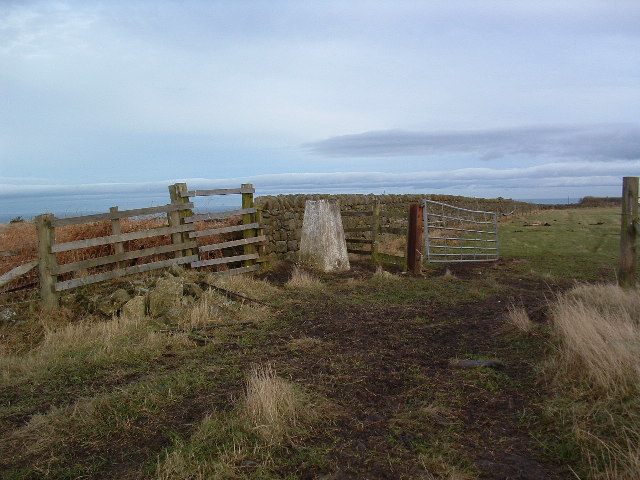
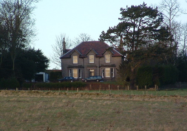
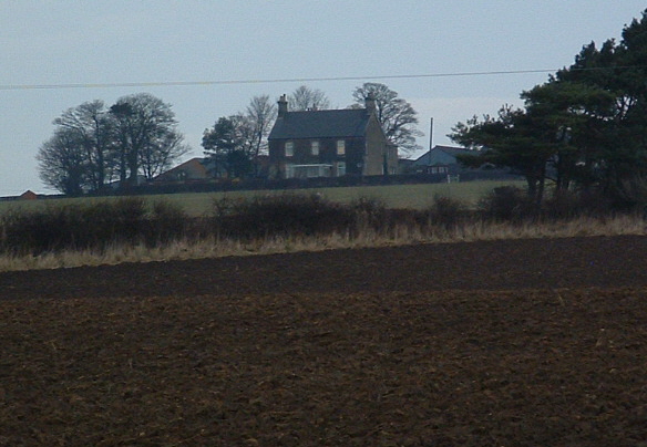
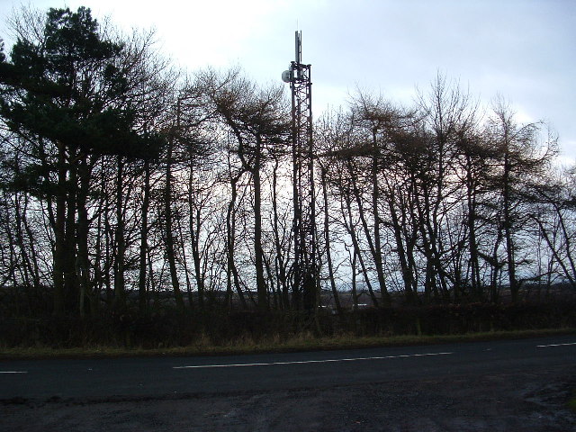
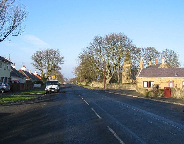
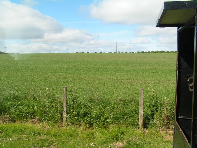
Camp Wood Images
Images are sourced within 2km of 55.730489/-2.0083812 or Grid Reference NT9948. Thanks to Geograph Open Source API. All images are credited.

Camp Wood is located at Grid Ref: NT9948 (Lat: 55.730489, Lng: -2.0083812)
Unitary Authority: Northumberland
Police Authority: Northumbria
What 3 Words
///spacing.postcard.paintings. Near Ancroft, Northumberland
Nearby Locations
Related Wikis

Scremerston
Scremerston is a village in Northumberland, England. The village lies on the North Sea coast just under 2.5 miles (4 km) south of Berwick-upon-Tweed and...

Scremerston railway station
Scremerston railway station served the village of Scremerston, Northumberland, England from 1847 to 1951 on the East Coast Main Line. == History == The...

Berwick Academy, Berwick-upon-Tweed
Berwick Academy (formerly Berwick Community High School) is a coeducational upper school and sixth form located in Berwick-upon-Tweed in the English county...

Spittal, Northumberland
Spittal is a village in northern Northumberland, England. It is part of Berwick-upon-Tweed and is situated on the coast to the east of Tweedmouth. Spittal...
Ord, Northumberland
Ord is a civil parish in Northumberland, England. According to the 2001 census it had a population 1,365, increasing slightly to 1,374 at the 2011 Census...

East Ord
East Ord is a village in Northumberland, England about 2 miles (3 km) south west of Berwick Upon Tweed. It lies on the south bank of the River Tweed adjacent...

Shielfield Park
Shielfield Park is a football stadium that is home to Berwick Rangers and Berwick Bandits speedway team. Although Berwick Rangers is a Scottish Lowland...

Tweedmouth railway station
Tweedmouth railway station was a railway station which served the Tweedmouth area of Berwick-on-Tweed in Northumberland, England. It was located on the...
Have you been to Camp Wood?
Leave your review of Camp Wood below (or comments, questions and feedback).