Pump Wood

Wood, Forest in Northumberland

England

Pump Wood

Big square bales, Ancroft
Big square bales, Ancroft Credit: Richard Webb

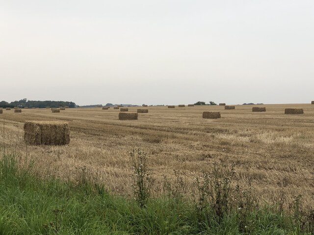
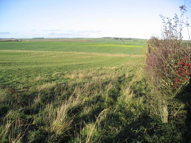
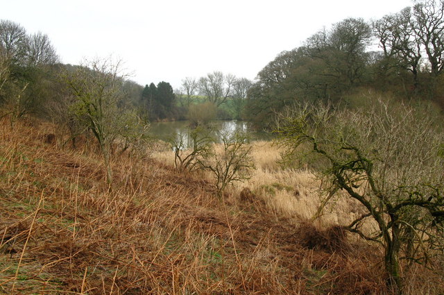
Pump Wood is a picturesque forest located in the county of Northumberland, England. Covering an area of approximately 500 acres, it is a popular destination for nature enthusiasts and outdoor adventurers alike.

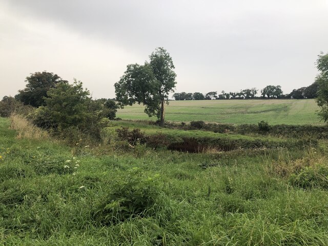
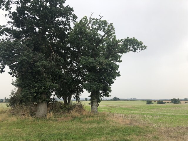
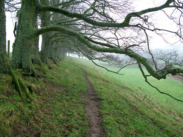
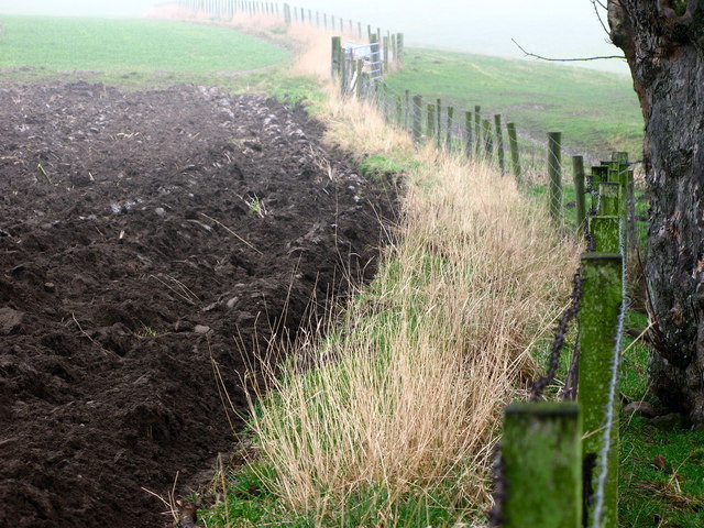
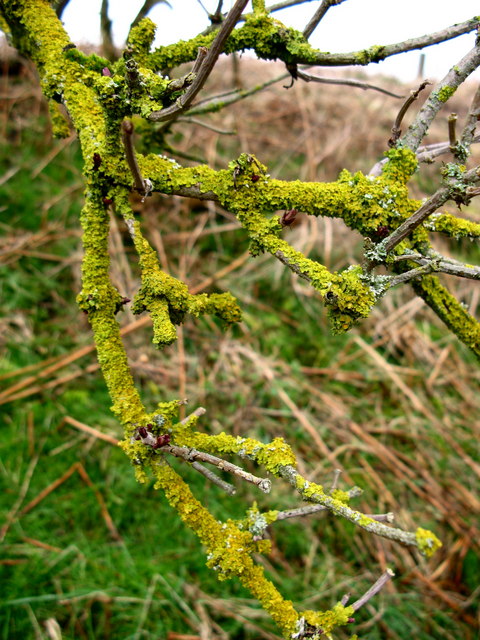
The woodland is predominantly made up of a mix of deciduous and coniferous trees, creating a diverse and vibrant landscape. The towering oak, beech, and birch trees provide a rich canopy, while the Douglas fir and Scots pine add a touch of evergreen beauty. The forest floor is adorned with a carpet of ferns, bluebells, and wildflowers, creating a captivating display of colors throughout the seasons.

Pump Wood is home to a variety of wildlife, making it an ideal spot for nature lovers. Visitors may spot red squirrels scurrying up the trees, while deer roam freely in the undergrowth. The forest is also a haven for birdwatchers, with its resident species including woodpeckers, owls, and a multitude of songbirds.

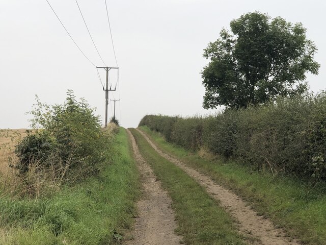
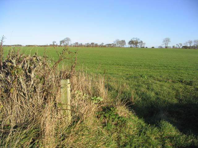
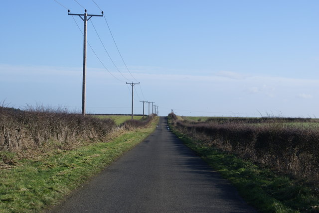
The wood offers a network of well-maintained footpaths, allowing visitors to explore its serene beauty on foot. There are also designated cycling trails for those who prefer to explore on two wheels. The peaceful atmosphere and stunning scenery make Pump Wood a popular spot for picnicking, family outings, and nature photography.

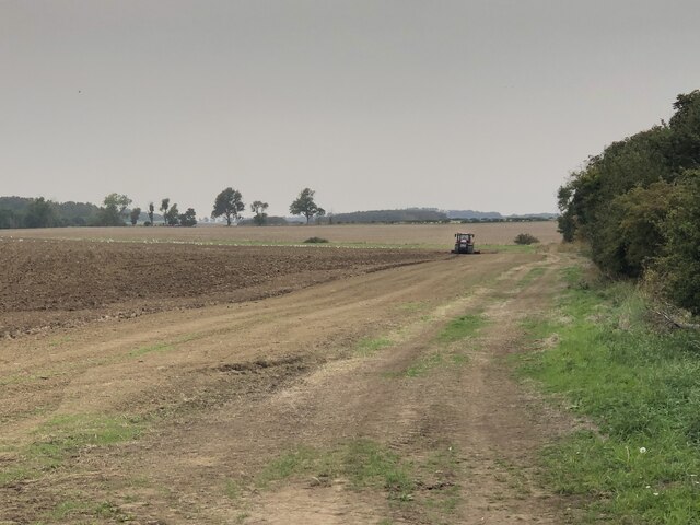
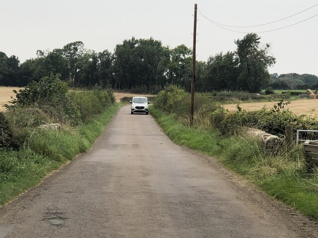
Located in the heart of Northumberland, Pump Wood is easily accessible and is just a short drive from nearby towns and villages. Whether you are seeking tranquility amidst nature or an outdoor adventure, Pump Wood offers a delightful escape into the natural beauty of Northumberland.

If you have any feedback on the listing, please let us know in the comments section below.
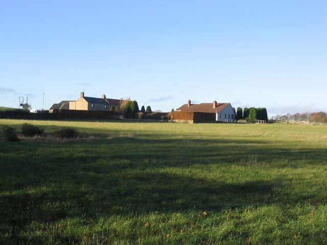
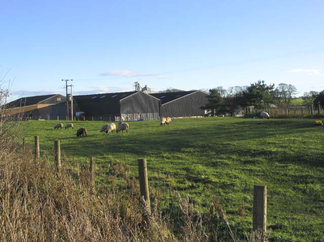
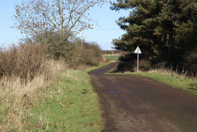
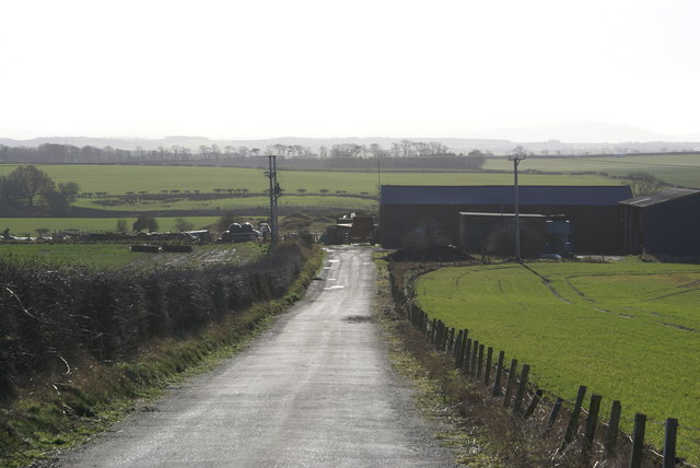
Pump Wood Images

Images are sourced within 2km of 55.714298/-2.0083299 or Grid Reference NT9946. Thanks to Geograph Open Source API. All images are credited.

Big square bales, Ancroft
Road, Ancroft Used to run through to another green lane to the north, but maps suggest the middle part, a field's worth, is missing.
Road, Ancroft
Used to run through to another green lane to the north, but maps suggest the middle part, a field's worth, is missing.
Ground work by Jingling Bridge Stubble does not stay around for long.  Preparation for next year's winter cereals.
Ground work by Jingling Bridge
Stubble does not stay around for long. Preparation for next year's winter cereals.
Jingling Bridge
Jingling Bridge
Burn near Allerdean
Burn near Allerdean
Field, East Allerdean
Rich farmland at East Allerdean
Pasture field
Pasture field
Houses at Allerdean Greens
Town Farm at Ancroft On the West side of the village of Ancroft.
Town Farm at Ancroft
On the West side of the village of Ancroft.
Road at Unthank
Road at Unthank
Unthank Mine There's little evidence of old mineworkings, it just looks like a farm.
Unthank Mine
There's little evidence of old mineworkings, it just looks like a farm.
Roadside Powerlines Although taken for granted, these three-phase cables do much to visually impair the view.
Roadside Powerlines
Although taken for granted, these three-phase cables do much to visually impair the view.
Row of Trees, South of Ancroft Suggestions as to how medieval village of Ancroft got its name include an abridged version of "Aidan's-croft" - the croft of St Aidan who was the first Bishop of Lindisfarne (Holy Island). As the church is dedicated to Saint Anne, it is possible that the village took its name from the church - "St Anne's croft" and a third suggestion is simply that it means one croft or solitary croft - "ane croft".
Row of Trees, South of Ancroft
Suggestions as to how medieval village of Ancroft got its name include an abridged version of "Aidan's-croft" - the croft of St Aidan who was the first Bishop of Lindisfarne (Holy Island). As the church is dedicated to Saint Anne, it is possible that the village took its name from the church - "St Anne's croft" and a third suggestion is simply that it means one croft or solitary croft - "ane croft".
Ploughed Field, Ancroft A misty day in this rural Northumbrian village.
Ploughed Field, Ancroft
A misty day in this rural Northumbrian village.
Lichen, Haydon Dean near Ancroft A number of trees were covered in lichen in this river valley.
Lichen, Haydon Dean near Ancroft
A number of trees were covered in lichen in this river valley.
Haydon Dean, Ancroft Dean Burn flows through Haydon Dean, and through a bed of bulrushes, before entering into this small lake.
Haydon Dean, Ancroft
Dean Burn flows through Haydon Dean, and through a bed of bulrushes, before entering into this small lake.
Allerdean Grange
Allerdean Grange
Show me another place!

Pump Wood is located at Grid Ref: NT9946 (Lat: 55.714298, Lng: -2.0083299)

Unitary Authority: Northumberland

Police Authority: Northumbria

What 3 Words

///free.bonfires.requires. Near Ancroft, Northumberland

Related Wikis

Norham and Islandshires Rural District

Norham and Islandshires was a rural district in Northumberland, England from 1894 to 1974.The district was formed under the Local Government Act 1894 from...

Ancroft

Ancroft is a village and civil parish (which includes the village of Scremerston) in Northumberland, England. Prior to 1844, Ancroft lay within the Islandshire...

Scremerston

Scremerston is a village in Northumberland, England. The village lies on the North Sea coast just under 2.5 miles (4 km) south of Berwick-upon-Tweed and...

Cheswick Buildings

Cheswick Buildings is a small village in Northumberland, in England. It is situated on the A1, approximately 10 km (6.2 mi) to the south-east of Berwick...

Nearby Amenities

Located within 500m of 55.714298,-2.0083299
Power: pole
Lat/Long: 55.7105929/-2.0057854
Power: pole
Lat/Long: 55.7148365/-2.0009159
Power: pole
Lat/Long: 55.7142412/-2.0015824
Power: pole
Lat/Long: 55.7129456/-2.0030241
Power: pole
Lat/Long: 55.7135787/-2.0023026
Power: pole
Lat/Long: 55.7125633/-2.0036101
Power: pole
Lat/Long: 55.7121697/-2.0042431
Power: pole
Lat/Long: 55.7112918/-2.0050786
The data included in this document is from www.openstreetmap.org. The data is made available under ODbL.

Have you been to Pump Wood?

Leave your review of Pump Wood below (or comments, questions and feedback).