Allerdean Mill Burn Wood
Wood, Forest in Northumberland
England
Allerdean Mill Burn Wood
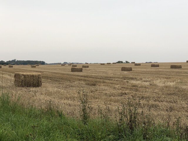
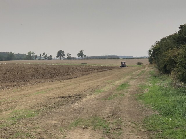
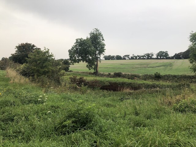
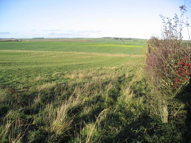
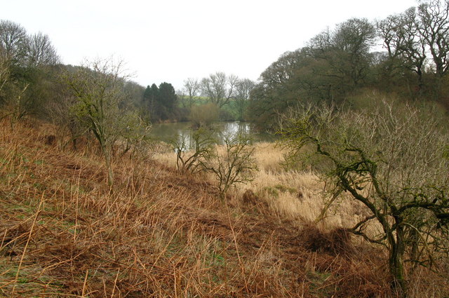
Allerdean Mill Burn Wood is a picturesque woodland located in Northumberland, England. This tranquil forest covers an area of approximately 10 hectares and is nestled between the villages of Allerdean and Scremerston.
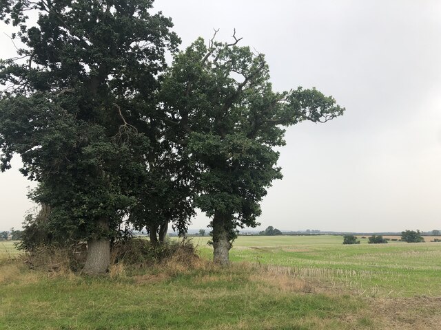
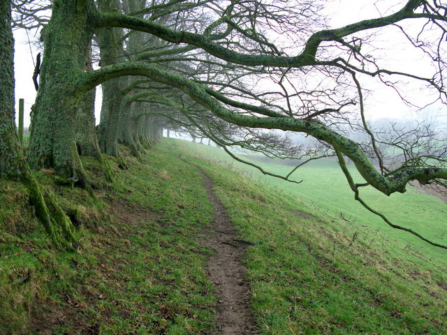
The woodland is predominantly made up of native deciduous trees, including oak, ash, birch, and beech, creating a diverse and vibrant ecosystem. The dense canopy provides a haven for a variety of bird species, such as woodpeckers, thrushes, and owls, making it a popular spot for birdwatching enthusiasts.
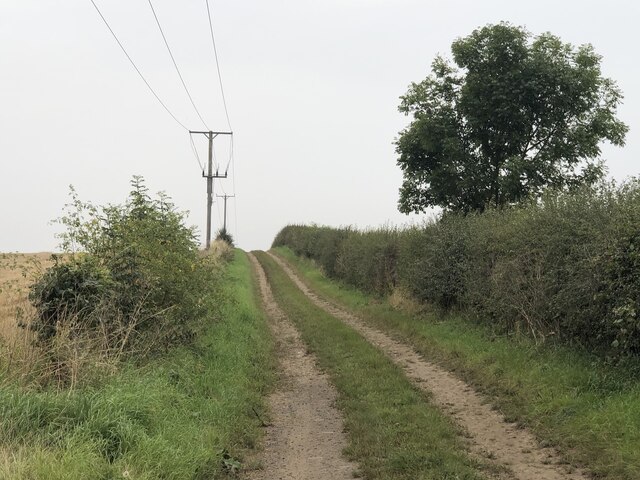
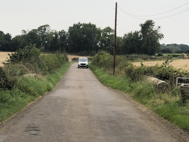
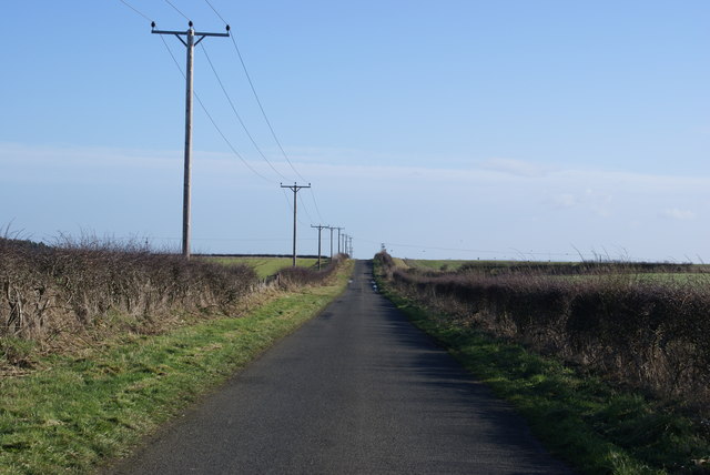
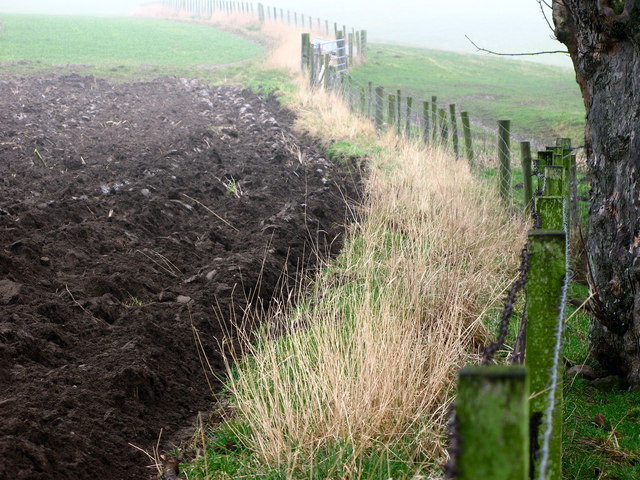
The forest is intersected by the Allerdean Burn, a small stream that adds to the charm of the area. Visitors can enjoy the peaceful sound of running water as they wander along the well-maintained footpaths that meander through the wood. The paths are suitable for walkers of all abilities and offer the opportunity to explore the woodland and its surroundings at a leisurely pace.
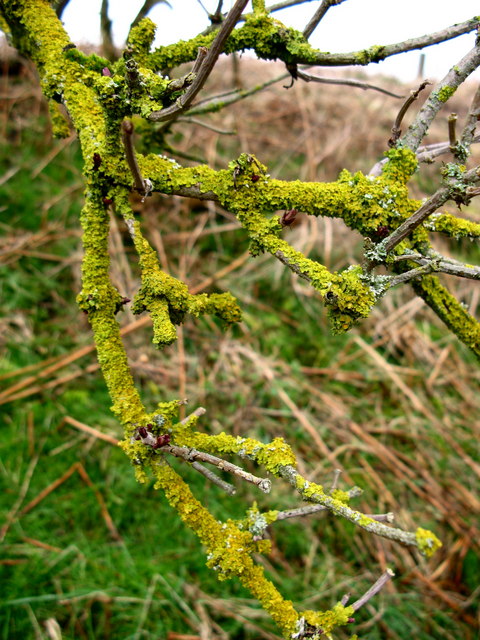
Allerdean Mill Burn Wood is also home to a rich array of plant species, including bluebells, wild garlic, and ferns, which add splashes of color throughout the seasons. During spring, the forest floor is carpeted with vibrant bluebells, creating a breathtaking sight.
The woodland is managed by the local council to ensure its preservation and accessibility for visitors. Picnic areas and benches are strategically placed to encourage visitors to relax and enjoy the natural beauty of the surroundings.
Allerdean Mill Burn Wood is a hidden gem in Northumberland, offering a peaceful retreat for nature lovers and a chance to connect with the beauty of the outdoors.
If you have any feedback on the listing, please let us know in the comments section below.
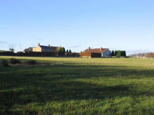
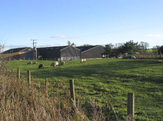
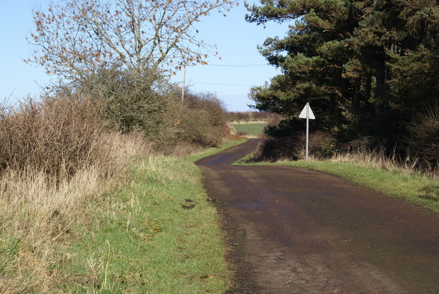
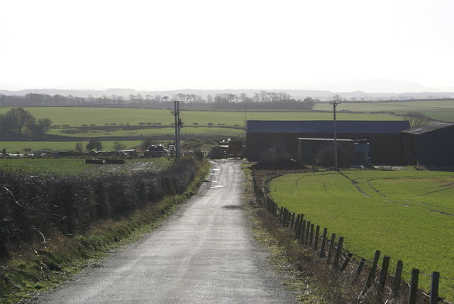
Allerdean Mill Burn Wood Images
Images are sourced within 2km of 55.715034/-2.010256 or Grid Reference NT9946. Thanks to Geograph Open Source API. All images are credited.
Allerdean Mill Burn Wood is located at Grid Ref: NT9946 (Lat: 55.715034, Lng: -2.010256)
Unitary Authority: Northumberland
Police Authority: Northumbria
What 3 Words
///binders.become.flocking. Near Ancroft, Northumberland
Nearby Locations
Related Wikis

Norham and Islandshires Rural District
Norham and Islandshires was a rural district in Northumberland, England from 1894 to 1974.The district was formed under the Local Government Act 1894 from...

Scremerston
Scremerston is a village in Northumberland, England. The village lies on the North Sea coast just under 2.5 miles (4 km) south of Berwick-upon-Tweed and...

Ancroft
Ancroft is a village and civil parish (which includes the village of Scremerston) in Northumberland, England. Prior to 1844, Ancroft lay within the Islandshire...

Cheswick Buildings
Cheswick Buildings is a small village in Northumberland, in England. It is situated on the A1, approximately 10 km (6.2 mi) to the south-east of Berwick...
Ancroft Northmoor
Ancroft Northmoor is a village in Northumberland, England. The population of the Civil Parish taken at the 2011 census was 895. == Governance == Ancroft...
Berrington, Northumberland
Berrington is a village in Northumberland, in England. It is situated to the south of Berwick-upon-Tweed, inland from the North Sea coast. == Governance... ==

Scremerston railway station
Scremerston railway station served the village of Scremerston, Northumberland, England from 1847 to 1951 on the East Coast Main Line. == History == The...
Cheswick, Northumberland
Cheswick is a village in Northumberland, England. It is situated approximately south-east of Berwick-upon-Tweed, between the A1 and the North Sea coast...
Nearby Amenities
Located within 500m of 55.715034,-2.010256Have you been to Allerdean Mill Burn Wood?
Leave your review of Allerdean Mill Burn Wood below (or comments, questions and feedback).