Hoggy Dene Wood

Wood, Forest in Northumberland

England

Hoggy Dene Wood

Billylaw Farm An exposed site on the hilltop, but no roadside name sign. I'm sure the farm will look much more inviting on a sunny day.
Billylaw Farm Credit: Stafford Little

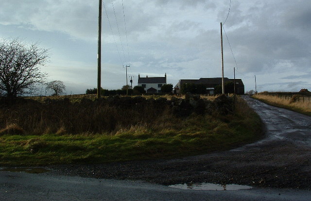
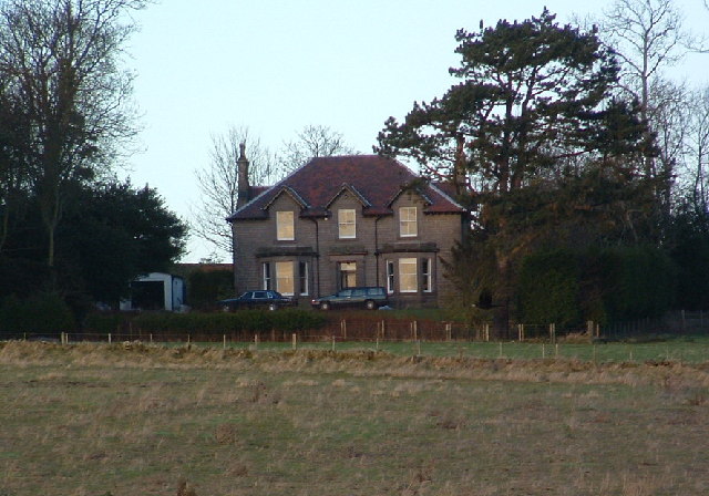
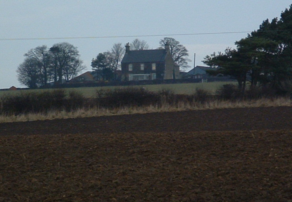
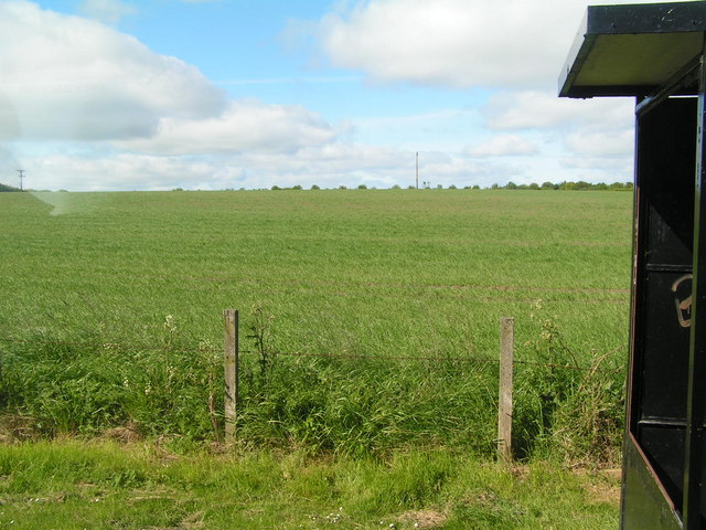
Hoggy Dene Wood is a picturesque woodland area located in Northumberland, England. Spread across a sprawling area of approximately 50 acres, it is known for its stunning natural beauty and rich biodiversity. The wood is situated near the village of Hoggy Dene, nestled amidst the rolling hills and valleys of the Northumbrian countryside.

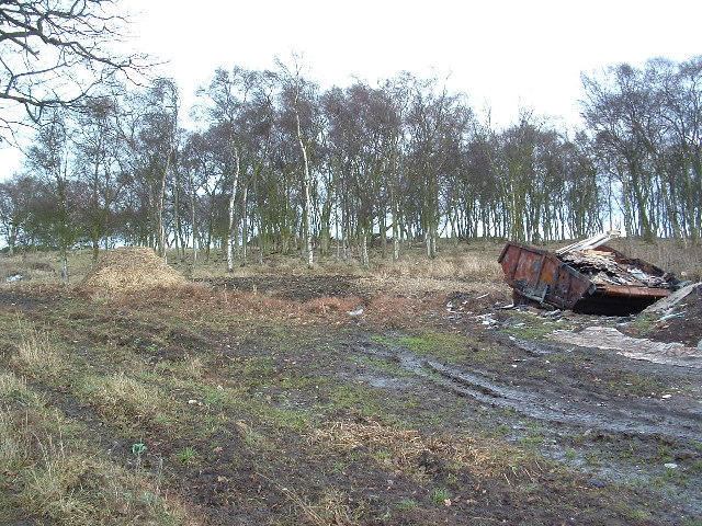
The wood is primarily composed of a mix of broadleaf trees, including oak, beech, ash, and birch, which create a dense canopy overhead. This canopy provides a haven for a diverse range of wildlife, making it a popular spot for nature enthusiasts and birdwatchers. Numerous species of birds, including woodpeckers, owls, and warblers, can be spotted among the trees, while small mammals like squirrels and rabbits scurry about on the forest floor.

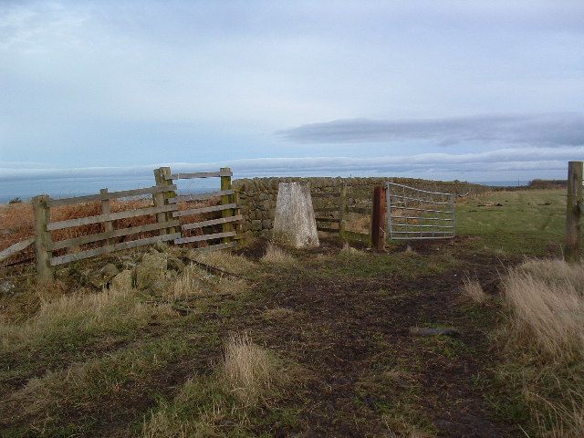
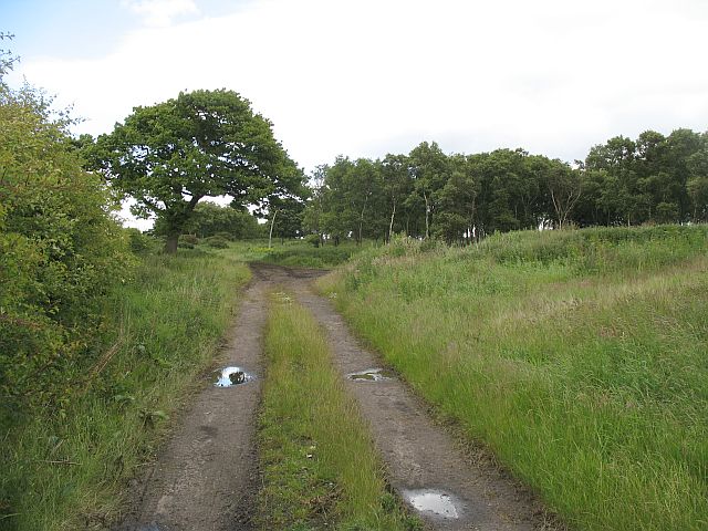
Visitors to Hoggy Dene Wood can explore the area on foot, following well-maintained trails that wind through the woodland. These trails offer stunning views of the surrounding landscape, with glimpses of the nearby river and meadows. The wood is also home to a small stream, which adds to its tranquility and charm.

Hoggy Dene Wood is managed by a local conservation group, ensuring its preservation and protection. The group organizes regular educational and recreational activities, such as guided walks and nature workshops, to engage the community and promote environmental awareness.

Overall, Hoggy Dene Wood is a hidden gem in Northumberland, offering a peaceful retreat for those seeking solace in nature. Its diverse flora and fauna, combined with its idyllic setting, make it a must-visit destination for anyone with an appreciation for the great outdoors.

If you have any feedback on the listing, please let us know in the comments section below.

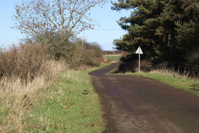
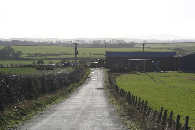
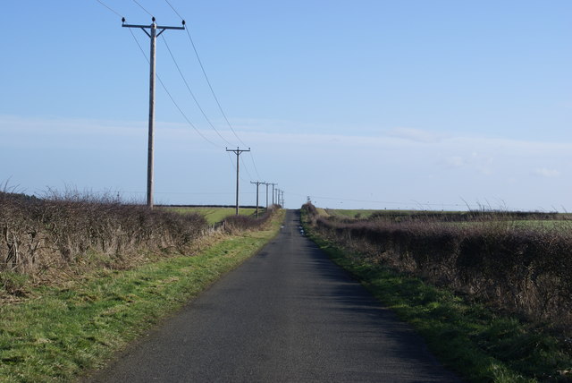
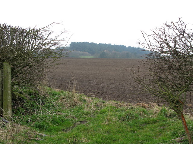
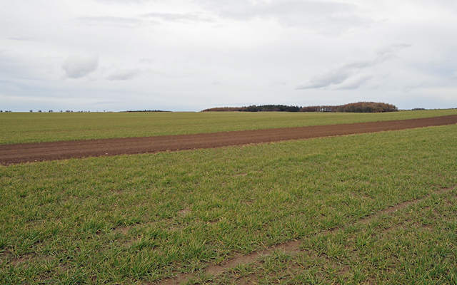
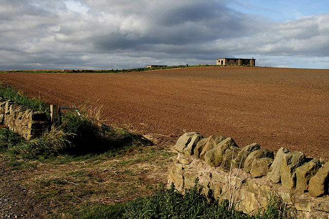
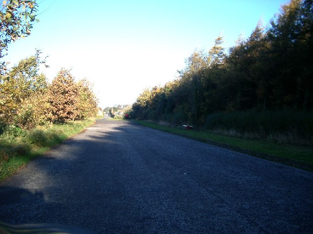
Hoggy Dene Wood Images

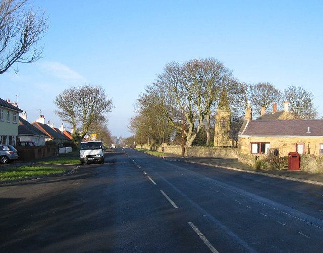
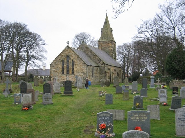
Images are sourced within 2km of 55.732996/-2.0099423 or Grid Reference NT9948. Thanks to Geograph Open Source API. All images are credited.

Billylaw Farm An exposed site on the hilltop, but no roadside name sign. I'm sure the farm will look much more inviting on a sunny day.
Billylaw Farm
An exposed site on the hilltop, but no roadside name sign. I'm sure the farm will look much more inviting on a sunny day.
The Kells I don't know what "The Kells" means maybe it's farm speak for dump! The area lies between two arable fields but it is very boggy and has a small fenced off pond near the top. There is also a trig point at the very top.
The Kells
I don't know what "The Kells" means maybe it's farm speak for dump! The area lies between two arable fields but it is very boggy and has a small fenced off pond near the top. There is also a trig point at the very top.
Trig Point Billylaw Another Dalek turned to stone (well concrete) by Dr. Who!
Trig Point Billylaw
Another Dalek turned to stone (well concrete) by Dr. Who!
Murton Whitehouse No idea why "Whitehouse" because it ain't. Maybe at some time they thought they would gild the lily.
Murton Whitehouse
No idea why "Whitehouse" because it ain't. Maybe at some time they thought they would gild the lily.
Road at Unthank
Road at Unthank
Unthank Mine There's little evidence of old mineworkings, it just looks like a farm.
Unthank Mine
There's little evidence of old mineworkings, it just looks like a farm.
Roadside Powerlines Although taken for granted, these three-phase cables do much to visually impair the view.
Roadside Powerlines
Although taken for granted, these three-phase cables do much to visually impair the view.
Heathery Tops Newly ploughed field, view towards Catchlaw Crag over the A1 near Scremerston.
Heathery Tops
Newly ploughed field, view towards Catchlaw Crag over the A1 near Scremerston.
Farmland with Camp Wood in the Distance
The Kells Woodland in summer. Motorbikes active near the top of the hill.
The Kells
Woodland in summer. Motorbikes active near the top of the hill.
A World War Two lookout post This concrete and brick relic dating back to the Second World War is situated in farmland overlooking the North Sea.
A World War Two lookout post
This concrete and brick relic dating back to the Second World War is situated in farmland overlooking the North Sea.
Northumberland farmland Viewed from the public footpath to Cow Road with an old lookout post at the high point of the field <a href="https://www.geograph.org.uk/photo/1508311">NU0050 : A World War Two lookout post</a>.
Northumberland farmland
Viewed from the public footpath to Cow Road with an old lookout post at the high point of the field NU0050 : A World War Two lookout post.
Marshalls, Outdoor Clothing Retailer
Layby south of Scremerston (part of old road) Nightmare conditions with the dark wood and the bright sun, so sorry, not as good as it would be if I had a better camera
Layby south of Scremerston (part of old road)
Nightmare conditions with the dark wood and the bright sun, so sorry, not as good as it would be if I had a better camera
Scremerston Hill Farm A commanding position looking West to the Cheviot Hills.
Scremerston Hill Farm
A commanding position looking West to the Cheviot Hills.
Scremerston Looking north along the old A1
Scremerston
Looking north along the old A1
Field of Wheat behind a bus stop in Scremerston Typical agricultural scene
Field of Wheat behind a bus stop in Scremerston
Typical agricultural scene
St Peter's Anglican Church, Scremerston
Show me another place!

Hoggy Dene Wood is located at Grid Ref: NT9948 (Lat: 55.732996, Lng: -2.0099423)

Unitary Authority: Northumberland

Police Authority: Northumbria

What 3 Words

///aspect.plea.dispensed. Near Berwick-Upon-Tweed, Northumberland

Nearby Locations

Hoggy Dene Wood Camp Wood

Related Wikis

Scremerston

Scremerston is a village in Northumberland, England. The village lies on the North Sea coast just under 2.5 miles (4 km) south of Berwick-upon-Tweed and...

Berwick Academy, Berwick-upon-Tweed

Berwick Academy (formerly Berwick Community High School) is a coeducational upper school and sixth form located in Berwick-upon-Tweed in the English county...

Scremerston railway station

Scremerston railway station served the village of Scremerston, Northumberland, England from 1847 to 1951 on the East Coast Main Line. == History == The...

Spittal, Northumberland

Spittal is a village in northern Northumberland, England. It is part of Berwick-upon-Tweed and is situated on the coast to the east of Tweedmouth. Spittal...

Have you been to Hoggy Dene Wood?

Leave your review of Hoggy Dene Wood below (or comments, questions and feedback).