Fenton Wood

Wood, Forest in Northumberland

England

Fenton Wood

Old Milestone by B6525, 50m North of road to Doddington North Moor The Milestone is located on grass verge on the East of the road.  Parish of Doddington (Berwick upon Tweed District). Cast iron post, WR/BER MOR top iron post design, erected by the Deanburn Bridge, Berwick, Cornhill turnpike trust in the 19th Century. An earlier photograph can be found here: <a title="https://www.geograph.org.uk/photo/6050560" href="https://www.geograph.org.uk/photo/6050560">Link</a> 

Inscription reads:-  
WR / 5  : : BER / 11 : : MOR / 36 

Grade II listed. List Entry Number: 1370943 <span class="nowrap"><a title="https://historicengland.org.uk/listing/the-list/list-entry/1370943" rel="nofollow ugc noopener" href="https://historicengland.org.uk/listing/the-list/list-entry/1370943">Link</a><img style="margin-left:2px;" alt="External link" title="External link - shift click to open in new window" src="https://s1.geograph.org.uk/img/external.png" width="10" height="10"/></span> 

Milestone Society National ID: NB_BWWL11
Old Milestone by B6525, 50m North of road to Doddington North Moor Credit: Hilary Jones

Fenton Wood is a quaint forest located in the county of Northumberland, England. It is situated near the village of Fenton, which is about 10 miles northwest of the town of Wooler. Covering an area of approximately 500 acres, Fenton Wood is a haven for nature enthusiasts and those seeking a peaceful retreat.

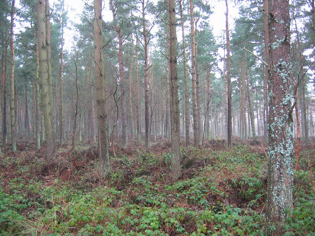
The wood is predominantly composed of native deciduous trees, including oak, ash, birch, and beech, which create a rich and diverse habitat for various flora and fauna. The forest floor is adorned with a carpet of bluebells during the spring, creating a picturesque and vibrant scene. In addition to the stunning flora, Fenton Wood is home to a wide array of wildlife, including red squirrels, roe deer, badgers, and numerous bird species such as woodpeckers and tawny owls.

The forest is crisscrossed by a network of well-maintained footpaths and trails, allowing visitors to explore its natural beauty at their own pace. These paths offer breathtaking vistas of the surrounding countryside and provide ample opportunities for walking, hiking, and cycling. Fenton Wood also features a small picnic area near its entrance, where visitors can relax and enjoy the serene atmosphere.

Fenton Wood is managed by the Forestry Commission, ensuring its preservation and conservation for future generations. It is open to the public throughout the year, free of charge, and offers a peaceful escape from the hustle and bustle of everyday life. Whether you are a nature lover, outdoor enthusiast, or simply seeking tranquility, Fenton Wood is a must-visit destination in Northumberland.

If you have any feedback on the listing, please let us know in the comments section below.
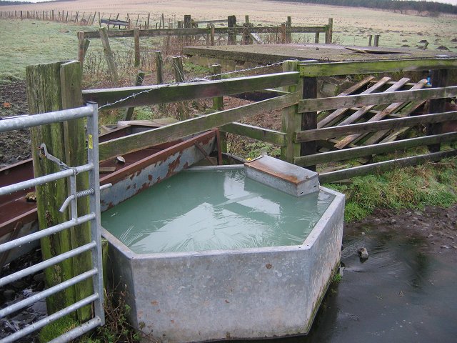
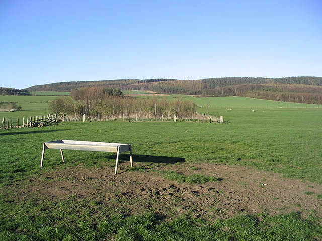
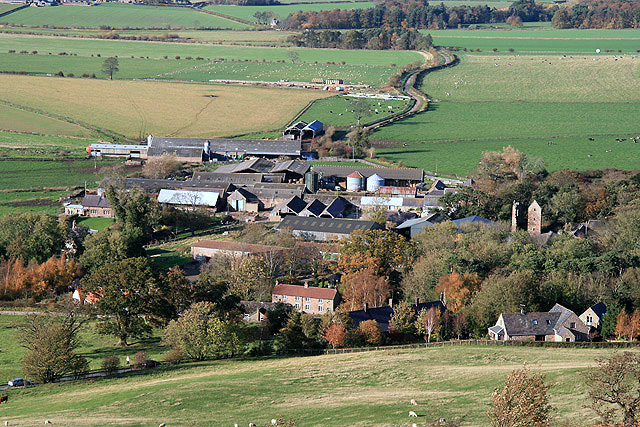
Fenton Wood Images

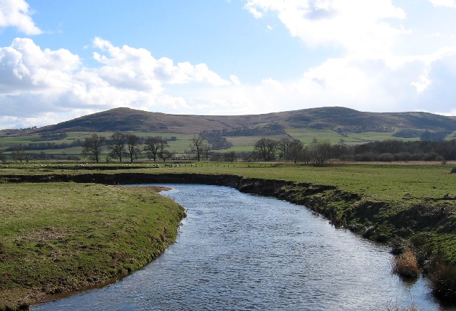
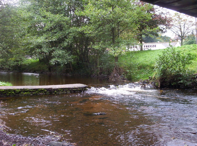
Images are sourced within 2km of 55.605954/-2.0100204 or Grid Reference NT9934. Thanks to Geograph Open Source API. All images are credited.

Old Milestone by B6525, 50m North of road to Doddington North Moor The Milestone is located on grass verge on the East of the road.  Parish of Doddington (Berwick upon Tweed District). Cast iron post, WR/BER MOR top iron post design, erected by the Deanburn Bridge, Berwick, Cornhill turnpike trust in the 19th Century. An earlier photograph can be found here: <a title="https://www.geograph.org.uk/photo/6050560" href="https://www.geograph.org.uk/photo/6050560">Link</a> 

Inscription reads:-  
WR / 5  : : BER / 11 : : MOR / 36 

Grade II listed. List Entry Number: 1370943 <span class="nowrap"><a title="https://historicengland.org.uk/listing/the-list/list-entry/1370943" rel="nofollow ugc noopener" href="https://historicengland.org.uk/listing/the-list/list-entry/1370943">Link</a><img style="margin-left:2px;" alt="External link" title="External link - shift click to open in new window" src="https://s1.geograph.org.uk/img/external.png" width="10" height="10"/></span> 

Milestone Society National ID: NB_BWWL11
Old Milestone by B6525, 50m North of road to Doddington North Moor
The Milestone is located on grass verge on the East of the road.  Parish of Doddington (Berwick upon Tweed District). Cast iron post, WR/BER MOR top iron post design, erected by the Deanburn Bridge, Berwick, Cornhill turnpike trust in the 19th Century. An earlier photograph can be found here: Link  Inscription reads:- WR / 5 : : BER / 11 : : MOR / 36 Grade II listed. List Entry Number: 1370943 LinkExternal link Milestone Society National ID: NB_BWWL11
Doddington North Moor. Bridleway passing through a new shelterbelt. Looking west towards the ridgeline. The notice is a bull warning, but just sheep, very hungry sheep, grazing beyond the gate today.
Doddington North Moor.
Bridleway passing through a new shelterbelt. Looking west towards the ridgeline. The notice is a bull warning, but just sheep, very hungry sheep, grazing beyond the gate today.
Wrangham SE view into a grassland square.
Wrangham
SE view into a grassland square.
Country road near Doddington (1) A strikingly-coloured silo ahead.
Further ahead are Doddington North Moor and Fenton Wood.
Country road near Doddington (1)
A strikingly-coloured silo ahead. Further ahead are Doddington North Moor and Fenton Wood.
Frozen trough, Doddington. Frozen drinking trough on farmland leading up to a strip of moorland along the ridgeline. The land was being grazed by sheep.
Frozen trough, Doddington.
Frozen drinking trough on farmland leading up to a strip of moorland along the ridgeline. The land was being grazed by sheep.
Wet moorland, Doddington Today was my first encounter with England's new non-access laws. How did the gomls  keep this chunk of moorland off the orange maps? Then I encountered an orange area which a meanie could have argued out on grounds of being woodland, swings and roundabouts. This area is  moorland with a wet area / flight pool. Snipe were calling from the bog.
Wet moorland, Doddington
Today was my first encounter with England's new non-access laws. How did the gomls keep this chunk of moorland off the orange maps? Then I encountered an orange area which a meanie could have argued out on grounds of being woodland, swings and roundabouts. This area is moorland with a wet area / flight pool. Snipe were calling from the bog.
Doddington North  Moor Moorland being invaded by birchwood and rhododendron. Looking along the ridgeline, northwestward, near the trig point (just in the wood).
Doddington North Moor
Moorland being invaded by birchwood and rhododendron. Looking along the ridgeline, northwestward, near the trig point (just in the wood).
Doddington North Moor. Moorland gradually turning to rhododendron infested birchwood. It was once cattle grazed judging by the barbed wire protecting the dyke on the woodland boundary, but is probably just used for sporting purposes now. This is included as access land under the CRoW act, which given the irritating omission of woodland is a bit of a bonus.
Doddington North Moor.
Moorland gradually turning to rhododendron infested birchwood. It was once cattle grazed judging by the barbed wire protecting the dyke on the woodland boundary, but is probably just used for sporting purposes now. This is included as access land under the CRoW act, which given the irritating omission of woodland is a bit of a bonus.
Fenton Wood. Pine wood running the full length of the scarp below Doddington North Moor.
Fenton Wood.
Pine wood running the full length of the scarp below Doddington North Moor.
Cattle crush. Cattle crush at lane end, just north of Doddington. View NE along the green lane from the Berwick Road.
Cattle crush.
Cattle crush at lane end, just north of Doddington. View NE along the green lane from the Berwick Road.
Across the Till. View west across the foggy Till valley to the snow covered Cheviot Hills.
Across the Till.
View west across the foggy Till valley to the snow covered Cheviot Hills.
Doddington trig Looking NW from position
Doddington trig
Looking NW from position
Boggy ground on Doddington North Moor Looking E from position
Boggy ground on Doddington North Moor
Looking E from position
Livestock field To the east-southeast of Nesbit.
Livestock field
To the east-southeast of Nesbit.
Farmland northwest of Nesbit
Forestry near Fenton
Derelict outhouse near Doddington Northmoor
Doddington Northmoor
Show me another place!

Fenton Wood is located at Grid Ref: NT9934 (Lat: 55.605954, Lng: -2.0100204)

Unitary Authority: Northumberland

Police Authority: Northumbria

What 3 Words

///guitar.blacken.grapes. Near Doddington, Northumberland

Nearby Locations

Fenton Fenton Wood

Related Wikis

Nesbit, Northumberland

Nesbit is a hamlet and former civil parish, now in the parish of Doddington, Northumberland, England. It was once the site of a medieval village. In maps...

Doddington, Northumberland

The village and parish of Doddington are on the east side of the Milfield Plain, nearly 3 miles north of the town of Wooler, in the county of Northumberland...

River Glen, Northumberland

The River Glen is a seven mile long tributary of the River Till flowing through Northumberland, England. The College Burn and Bowmont Water, both flowing...

Wooler Water

Wooler Water is a stream that flows through Wooler in Northumberland, England. It is a tributary of the River Till and is 12 miles (20 km) in length. Its...

Have you been to Fenton Wood?

Leave your review of Fenton Wood below (or comments, questions and feedback).