Slateford Wood

Wood, Forest in Northumberland

England

Slateford Wood

Murton Whitehouse No idea why "Whitehouse" because it ain't. Maybe at some time they thought they would gild the lily.
Murton Whitehouse Credit: Stafford Little

Slateford Wood is a picturesque forest located in Northumberland, England. Covering an area of approximately 500 acres, this woodland is renowned for its natural beauty and diverse wildlife.

The wood is predominantly composed of native tree species such as oak, beech, and birch, which create a dense and leafy canopy. This provides shelter and a perfect habitat for a wide range of fauna, including deer, badgers, and various bird species. Additionally, the forest is home to several rare and protected species, such as the red squirrel and the lesser horseshoe bat.

Visitors to Slateford Wood can explore its many walking trails, which offer stunning views of the surrounding countryside. The paths wind through the forest, leading visitors past ancient trees and peaceful clearings. Along the way, there are informative signs that provide details about the local flora and fauna, enhancing the educational experience.

The wood is also popular among nature enthusiasts and photographers who seek to capture the beauty of the changing seasons. In spring, the forest floor is carpeted with vibrant wildflowers, while autumn transforms the woodland into a kaleidoscope of golden hues.

Slateford Wood is managed by the Northumberland Wildlife Trust, ensuring the preservation and conservation of this valuable natural resource. It is open to the public year-round, allowing locals and tourists alike to immerse themselves in the tranquility of this enchanting woodland.

If you have any feedback on the listing, please let us know in the comments section below.

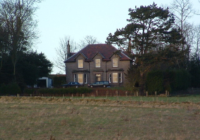
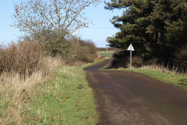
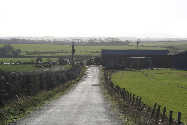
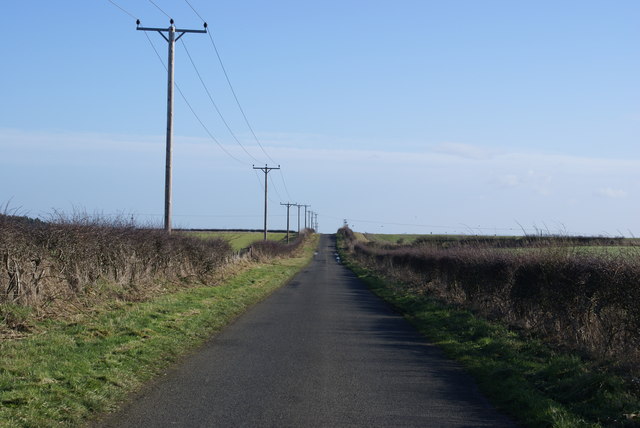
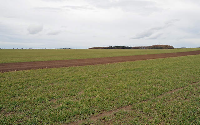
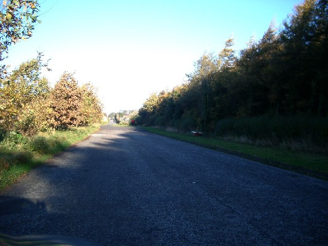
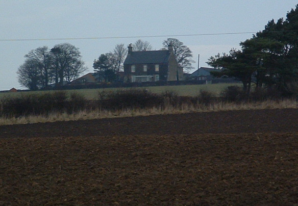
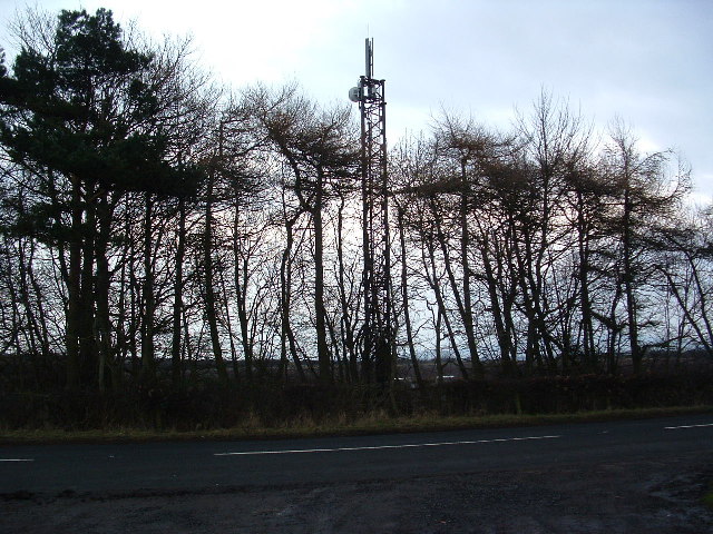
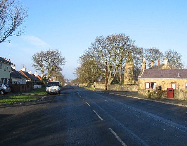
Slateford Wood Images

Images are sourced within 2km of 55.724146/-2.008555 or Grid Reference NT9947. Thanks to Geograph Open Source API. All images are credited.

Murton Whitehouse No idea why "Whitehouse" because it ain't. Maybe at some time they thought they would gild the lily.
Murton Whitehouse
No idea why "Whitehouse" because it ain't. Maybe at some time they thought they would gild the lily.
Road at Unthank
Road at Unthank
Unthank Mine There's little evidence of old mineworkings, it just looks like a farm.
Unthank Mine
There's little evidence of old mineworkings, it just looks like a farm.
Roadside Powerlines Although taken for granted, these three-phase cables do much to visually impair the view.
Roadside Powerlines
Although taken for granted, these three-phase cables do much to visually impair the view.
Farmland and Ancroft North Farm
Farmland with Camp Wood in the Distance
Layby south of Scremerston (part of old road) Nightmare conditions with the dark wood and the bright sun, so sorry, not as good as it would be if I had a better camera
Layby south of Scremerston (part of old road)
Nightmare conditions with the dark wood and the bright sun, so sorry, not as good as it would be if I had a better camera
Scremerston Hill Farm A commanding position looking West to the Cheviot Hills.
Scremerston Hill Farm
A commanding position looking West to the Cheviot Hills.
Oxford Ponds with Swans These ponds of which this is the biggest were formerly Quarries. The old quarry to the east of this one is a closed landfill site.
Oxford Ponds with Swans
These ponds of which this is the biggest were formerly Quarries. The old quarry to the east of this one is a closed landfill site.
The Invasive Species A new tree species that is rapidly taking over from the English Oak.
The wood is actually called Road Ends Wood
The Invasive Species
A new tree species that is rapidly taking over from the English Oak. The wood is actually called Road Ends Wood
Scremerston Looking north along the old A1
Scremerston
Looking north along the old A1
Oxford Farm Crossroads A well known local spot for soft fruit picking, farm shop and excellent restaurant.
Oxford Farm Crossroads
A well known local spot for soft fruit picking, farm shop and excellent restaurant.
Welcome to Oxford Somewhat smaller than my local Oxford. A farm with tea room and restaurant.
Welcome to Oxford
Somewhat smaller than my local Oxford. A farm with tea room and restaurant.
St Peter's Anglican Church, Scremerston
B6354 junction Merton/Unthank near Berwick upon Tweed Poppies against stone wall with fine crop of Merton Farm thistles.
B6354 junction Merton/Unthank near Berwick upon Tweed
Poppies against stone wall with fine crop of Merton Farm thistles.
Sign for Merton Farm on B6354 junction Signpost for Merton and Horncliffe showing field of Rape in background with a fair infestation of thistles. Soon to be harvested.
Sign for Merton Farm on B6354 junction
Signpost for Merton and Horncliffe showing field of Rape in background with a fair infestation of thistles. Soon to be harvested.
Allerdean Mill Bee wild flower meadow Bee nectar wild flower meadow in full flower, alive with bumble bees and various insects plus feeding birds.
Allerdean Mill Bee wild flower meadow
Bee nectar wild flower meadow in full flower, alive with bumble bees and various insects plus feeding birds.
Farmland south of Berwick-upon-Tweed
Show me another place!

Slateford Wood is located at Grid Ref: NT9947 (Lat: 55.724146, Lng: -2.008555)

Unitary Authority: Northumberland

Police Authority: Northumbria

What 3 Words

///indicated.umpires.boardroom. Near Ancroft, Northumberland

Nearby Locations

Slateford Wood

Related Wikis

Scremerston

Scremerston is a village in Northumberland, England. The village lies on the North Sea coast just under 2.5 miles (4 km) south of Berwick-upon-Tweed and...

Norham and Islandshires Rural District

Norham and Islandshires was a rural district in Northumberland, England from 1894 to 1974.The district was formed under the Local Government Act 1894 from...

Scremerston railway station

Scremerston railway station served the village of Scremerston, Northumberland, England from 1847 to 1951 on the East Coast Main Line. == History == The...

Berwick Academy, Berwick-upon-Tweed

Berwick Academy (formerly Berwick Community High School) is a coeducational upper school and sixth form located in Berwick-upon-Tweed in the English county...

Spittal, Northumberland

Spittal is a village in northern Northumberland, England. It is part of Berwick-upon-Tweed and is situated on the coast to the east of Tweedmouth. Spittal...

Cheswick Buildings

Cheswick Buildings is a small village in Northumberland, in England. It is situated on the A1, approximately 10 km (6.2 mi) to the south-east of Berwick...

Ord, Northumberland

Ord is a civil parish in Northumberland, England. According to the 2001 census it had a population 1,365, increasing slightly to 1,374 at the 2011 Census...

East Ord

East Ord is a village in Northumberland, England about 2 miles (3 km) south west of Berwick Upon Tweed. It lies on the south bank of the River Tweed adjacent...

Nearby Amenities

Located within 500m of 55.724146,-2.008555
Power: pole
Lat/Long: 55.7208763/-2.0082996
Power: pole
Lat/Long: 55.7231986/-2.0149814
Power: pole
Lat/Long: 55.7205164/-2.0071976
Power: pole
Lat/Long: 55.7201448/-2.006059
The data included in this document is from www.openstreetmap.org. The data is made available under ODbL.

Have you been to Slateford Wood?

Leave your review of Slateford Wood below (or comments, questions and feedback).